Blackbank Plantation

Wood, Forest in Northumberland

England

Blackbank Plantation

Location of Sipton Lead Mines The capped shaft of the Blackett Level at Sipton can be seen left, centre. This photo was taken as an attempt to reproduce an old photograph. The mine buildings were pulled down in 1950.

The small building in the field (150 metres South Of Sipton Terrace), just right of centre, was the mine Powder House or explosive Store.

Allen Valleys Local History Group: <span class="nowrap"><a title="http://www.allenvalleyslocalhistory.org.uk/photo/sipton-mine-0002-162/" rel="nofollow ugc noopener" href="http://www.allenvalleyslocalhistory.org.uk/photo/sipton-mine-0002-162/">Link</a><img style="margin-left:2px;" alt="External link" title="External link - shift click to open in new window" src="https://s1.geograph.org.uk/img/external.png" width="10" height="10"/></span> <span class="nowrap"><a title="https://web.archive.org/web/20220918142027/http://www.allenvalleyslocalhistory.org.uk/photo/sipton-mine-0002-162/" rel="nofollow ugc noopener" href="https://web.archive.org/web/20220918142027/http://www.allenvalleyslocalhistory.org.uk/photo/sipton-mine-0002-162/">Archive Link</a><img style="margin-left:2px;" alt="External link" title="External link - shift click to open in new window" src="https://s1.geograph.org.uk/img/external.png" width="10" height="10"/></span>
Location of Sipton Lead Mines Credit: Andrew Curtis

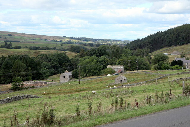
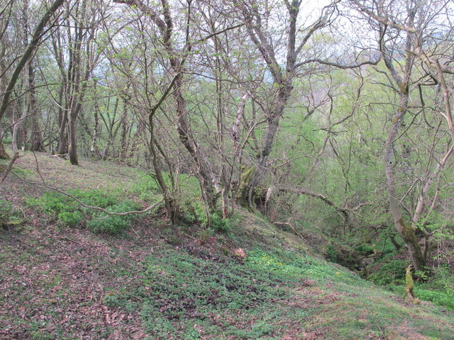
Blackbank Plantation is a picturesque woodland area located in Northumberland, a county in the northeastern region of England. The plantation covers an extensive area of lush greenery, encompassing dense forests and woodlands that are home to a variety of flora and fauna.

The plantation boasts an impressive collection of trees, including oak, beech, and birch, which provide a stunning display of colors during the autumn season. The woodland is teeming with wildlife, with sightings of deer, rabbits, and various bird species being common among visitors.

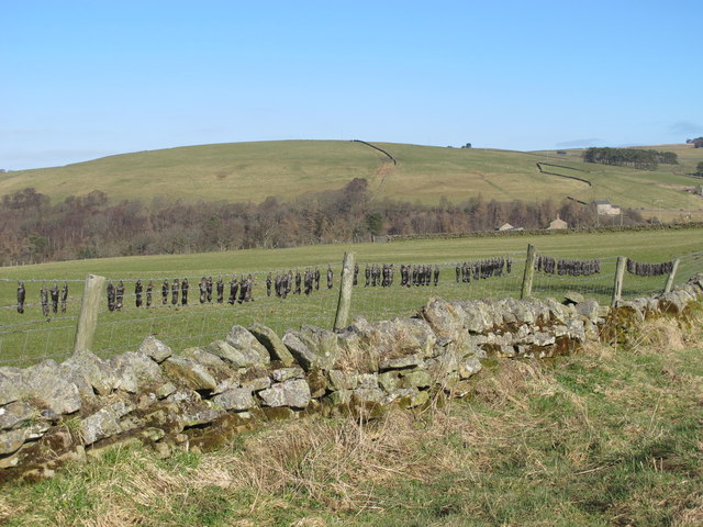
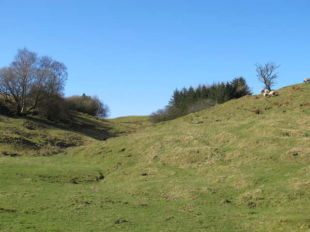
Blackbank Plantation offers a serene and tranquil environment, making it a popular destination for nature enthusiasts and hikers. The plantation features several well-maintained walking trails, allowing visitors to explore the expansive woodlands at their own pace. These trails wind through the forest, providing breathtaking views of the surrounding landscape and opportunities for wildlife spotting.

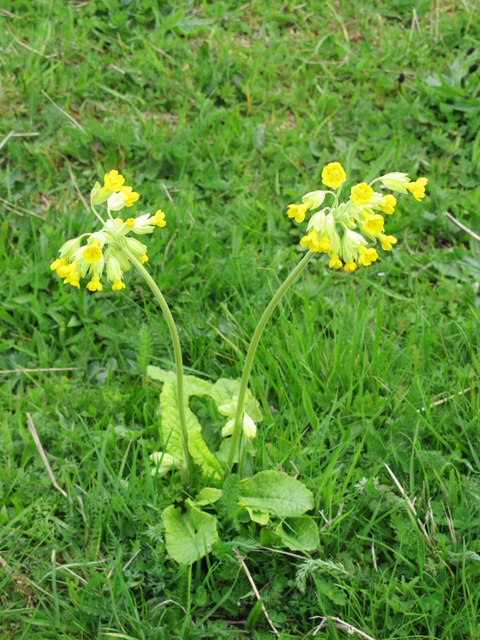
The plantation is also home to a wide range of plant species, with vibrant wildflowers carpeting the forest floor during the spring and summer months. This creates a vibrant and colorful setting, further enhancing the natural beauty of the area.

Visitors to Blackbank Plantation can enjoy a peaceful retreat away from the hustle and bustle of city life. The plantation provides a serene escape, where one can immerse themselves in the beauty of nature and experience the tranquility of the woodlands.

If you have any feedback on the listing, please let us know in the comments section below.

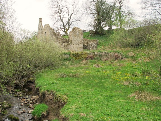
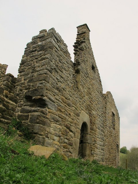
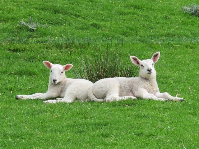
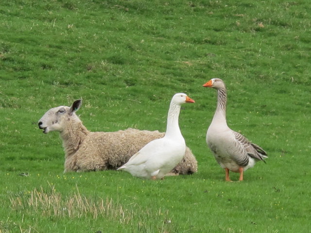
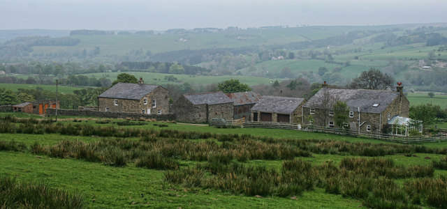
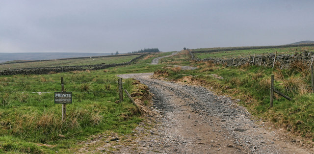
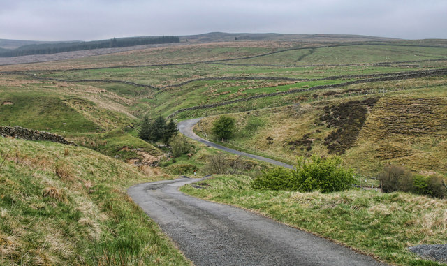
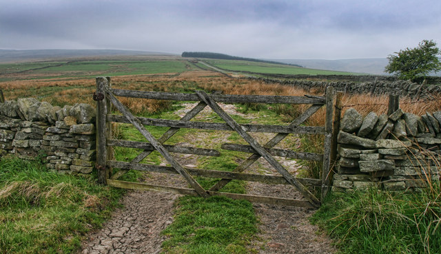
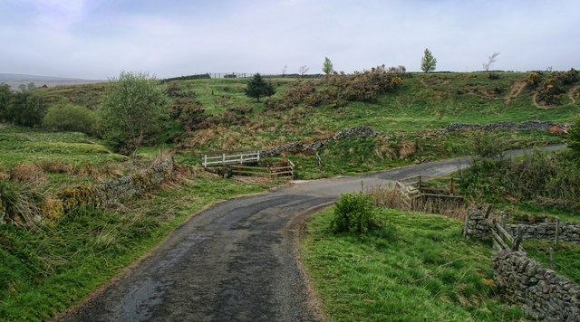
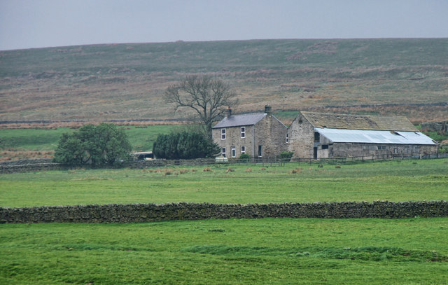
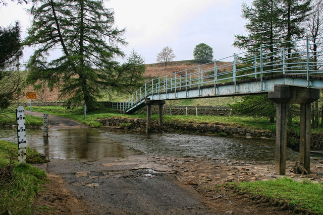
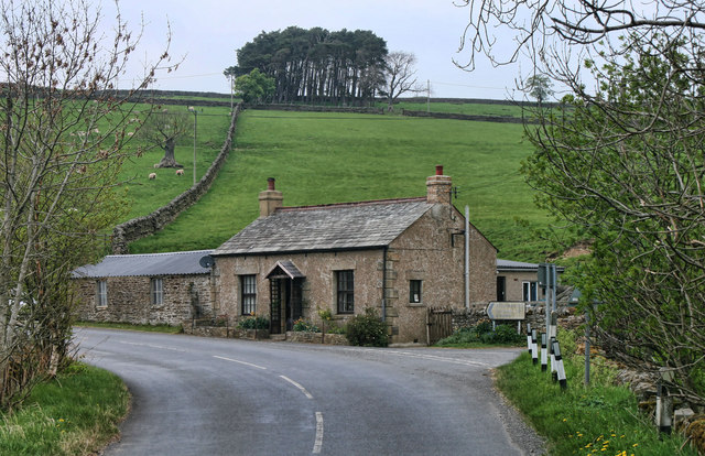
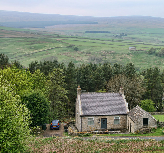
Blackbank Plantation Images

Images are sourced within 2km of 54.859009/-2.2472799 or Grid Reference NY8451. Thanks to Geograph Open Source API. All images are credited.

Location of Sipton Lead Mines The capped shaft of the Blackett Level at Sipton can be seen left, centre. This photo was taken as an attempt to reproduce an old photograph. The mine buildings were pulled down in 1950.

The small building in the field (150 metres South Of Sipton Terrace), just right of centre, was the mine Powder House or explosive Store.

Allen Valleys Local History Group: <span class="nowrap"><a title="http://www.allenvalleyslocalhistory.org.uk/photo/sipton-mine-0002-162/" rel="nofollow ugc noopener" href="http://www.allenvalleyslocalhistory.org.uk/photo/sipton-mine-0002-162/">Link</a><img style="margin-left:2px;" alt="External link" title="External link - shift click to open in new window" src="https://s1.geograph.org.uk/img/external.png" width="10" height="10"/></span> <span class="nowrap"><a title="https://web.archive.org/web/20220918142027/http://www.allenvalleyslocalhistory.org.uk/photo/sipton-mine-0002-162/" rel="nofollow ugc noopener" href="https://web.archive.org/web/20220918142027/http://www.allenvalleyslocalhistory.org.uk/photo/sipton-mine-0002-162/">Archive Link</a><img style="margin-left:2px;" alt="External link" title="External link - shift click to open in new window" src="https://s1.geograph.org.uk/img/external.png" width="10" height="10"/></span>
Location of Sipton Lead Mines
The capped shaft of the Blackett Level at Sipton can be seen left, centre. This photo was taken as an attempt to reproduce an old photograph. The mine buildings were pulled down in 1950. The small building in the field (150 metres South Of Sipton Terrace), just right of centre, was the mine Powder House or explosive Store. Allen Valleys Local History Group: LinkExternal link Archive LinkExternal link
Pastures and moles near Pry Hill (2) Even more moles than in October 2009 - <a href="https://www.geograph.org.uk/photo/1588140">NY8351 : Pastures and moles near Pry Hill</a>.
Pastures and moles near Pry Hill (2)
Even more moles than in October 2009 - NY8351 : Pastures and moles near Pry Hill.
Cleugh between Low Acton and Middle Acton
Cowslips on Mill Haugh
Rowantree Stob After restoration - see <a href="https://www.geograph.org.uk/photo/461309">NY8351 : Rowantree Stob</a>.
Rowantree Stob
After restoration - see NY8351 : Rowantree Stob.
Aaaaaaah
Aaaaaaah
The best of friends
The best of friends
Wooded cleugh above the River East Allen
Green Dike Low Green Dike Farm.
Green Dike
Low Green Dike Farm.
Acton Moor Track leading to Hagg Plantation and Acton Moor.
Acton Moor
Track leading to Hagg Plantation and Acton Moor.
Acton Burn Road crossing Acton Burn with Hagg Plantation in the background.
Acton Burn
Road crossing Acton Burn with Hagg Plantation in the background.
Long Well Looking up Long Well, a small sike running off Longwell Moor.
Long Well
Looking up Long Well, a small sike running off Longwell Moor.
Knock Shield Road crossing Knockshield Burn at Knock Shield.
Knock Shield
Road crossing Knockshield Burn at Knock Shield.
High Knock Shield High Knock Shield Farm in Allendale.
High Knock Shield
High Knock Shield Farm in Allendale.
River East Allen Ford and footbridge over the River East Allen near Rye Close.
River East Allen
Ford and footbridge over the River East Allen near Rye Close.
Hazeldene Hazeldene Cottage on the B6295 at Sinderhope Burnfoot.
Hazeldene
Hazeldene Cottage on the B6295 at Sinderhope Burnfoot.
Plantation Lodge Cottage at the north end of Sipton Plantation.
Plantation Lodge
Cottage at the north end of Sipton Plantation.
Show me another place!

Blackbank Plantation is located at Grid Ref: NY8451 (Lat: 54.859009, Lng: -2.2472799)

Unitary Authority: Northumberland

Police Authority: Northumbria

What 3 Words

///testy.carpentry.heckler. Near Haydon Bridge, Northumberland

Related Wikis

Have you been to Blackbank Plantation?

Leave your review of Blackbank Plantation below (or comments, questions and feedback).