Sinderland Green

Settlement in Cheshire

England

Sinderland Green

Red House Farm, The Maize Maze Red House Farm near Dunham hosts an annual Maize Maze. This image shows part of the maze (the whole field). Each year the maze is a different pattern.
Red House Farm, The Maize Maze Credit: Dave Smethurst

Sinderland Green is a small village located in the county of Cheshire, England. Situated approximately 13 miles southwest of Manchester, it falls within the borough of Trafford. The village is nestled amidst the picturesque countryside, offering residents a serene and peaceful atmosphere.

With a population of around 300 people, Sinderland Green retains its rural charm, with many traditional cottages and houses dotting the landscape. The village is largely residential, with a few local businesses and amenities serving the community's needs.

The surrounding area boasts a wealth of natural beauty, making Sinderland Green an ideal location for outdoor enthusiasts. There are numerous walking and cycling routes that allow visitors to explore the stunning countryside and take in the scenic views. The nearby Dunham Massey Park is a popular destination, offering extensive parklands, woodlands, and a historic house.

Despite its tranquil setting, Sinderland Green benefits from its proximity to major transportation routes. The village is conveniently located near the A56 road, providing easy access to neighboring towns and cities. Additionally, the nearby Manchester Airport is just a short drive away, making it a convenient base for those who travel frequently.

In conclusion, Sinderland Green offers a peaceful and idyllic living environment in the heart of Cheshire. Its rural character, coupled with its close proximity to larger urban centers, makes it an attractive choice for those seeking a balance between countryside living and easy access to amenities and transport links.

If you have any feedback on the listing, please let us know in the comments section below.

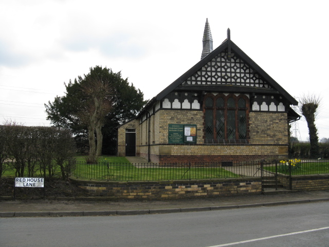
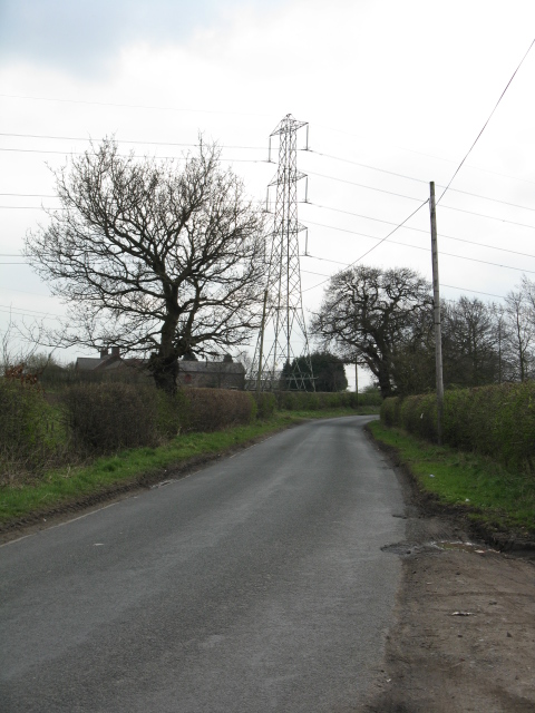
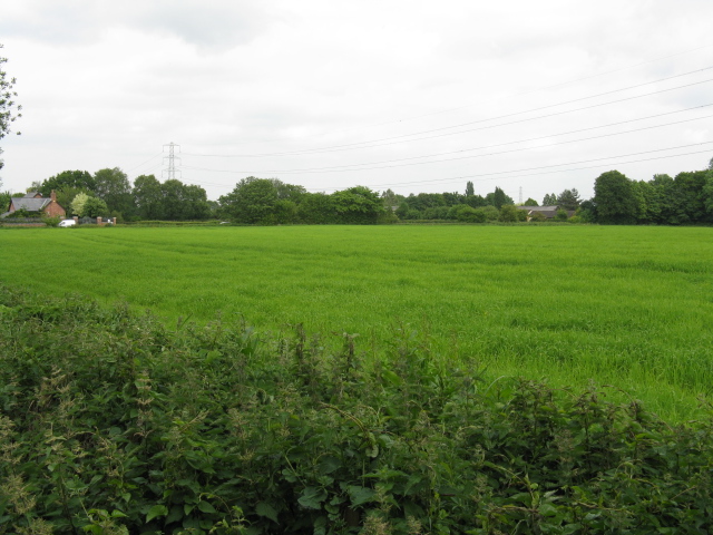
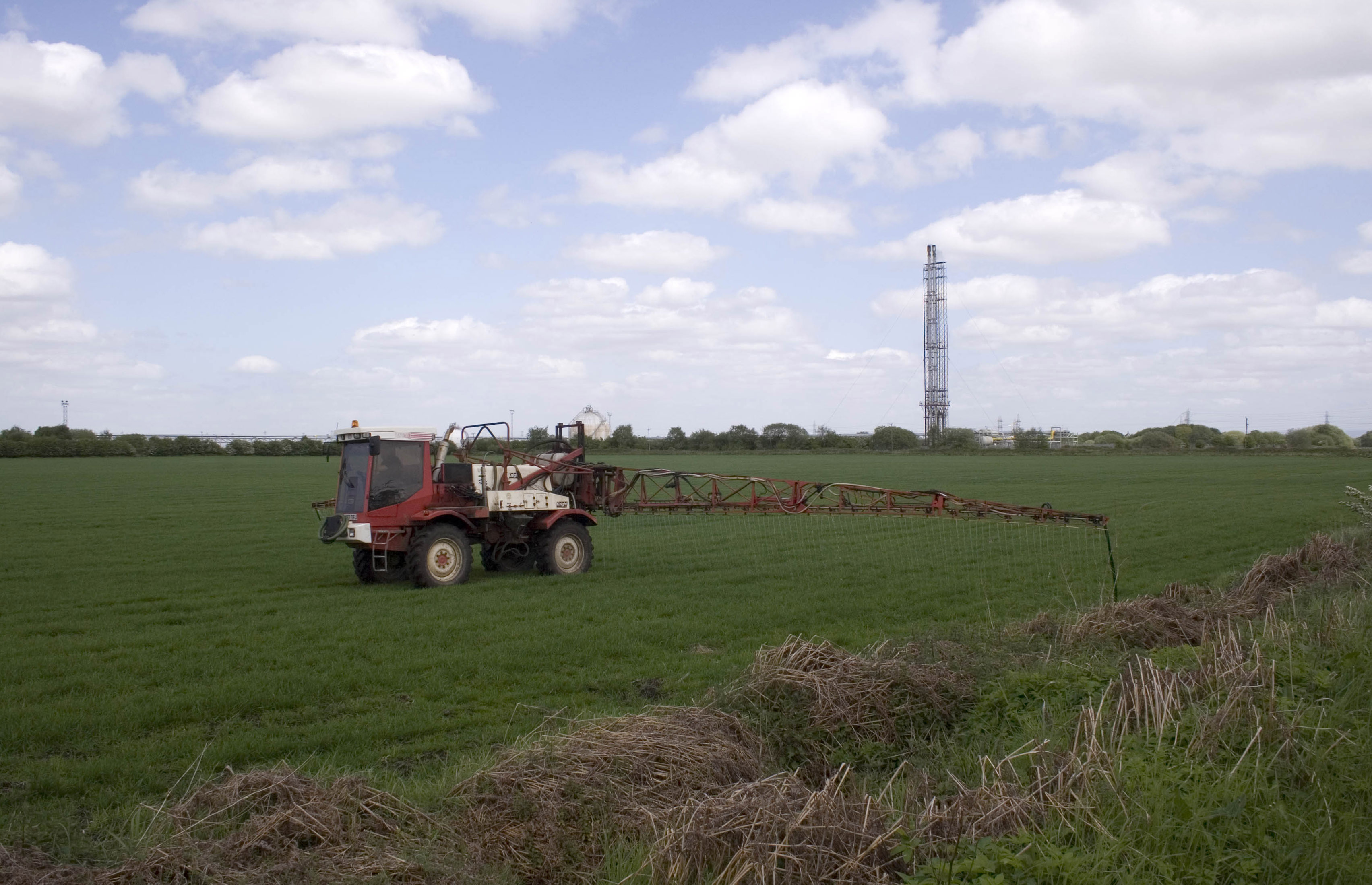
Sinderland Green Images

Images are sourced within 2km of 53.408734/-2.402974 or Grid Reference SJ7390. Thanks to Geograph Open Source API. All images are credited.

Red House Farm, The Maize Maze Red House Farm near Dunham hosts an annual Maize Maze. This image shows part of the maze (the whole field). Each year the maze is a different pattern.
Red House Farm, The Maize Maze
Red House Farm near Dunham hosts an annual Maize Maze. This image shows part of the maze (the whole field). Each year the maze is a different pattern.
Pasture This view is South West from the road looking towards Whitehouse farm across the northern part of grid SJ7489
Pasture
This view is South West from the road looking towards Whitehouse farm across the northern part of grid SJ7489
Road Junction This image was taken from SJ 728862 89926 looking west. At this junction three roads converge. Sinderland Lane comes in from the north (bottom right of picture), Gorsey Lane heads south (to the left of shot) and Moss Lane heads away east (top right of shot). The typical corn field can be seen to the left of Moss Lane.
Road Junction
This image was taken from SJ 728862 89926 looking west. At this junction three roads converge. Sinderland Lane comes in from the north (bottom right of picture), Gorsey Lane heads south (to the left of shot) and Moss Lane heads away east (top right of shot). The typical corn field can be seen to the left of Moss Lane.
Red Beech Farm View of the farm, looking east from Henshall Lane.
Red Beech Farm
View of the farm, looking east from Henshall Lane.
View From The Corner
Sinderland Green Methodist Chapel
Red House Lane, Looking South
Fields Off Red House Lane
Red House Lane, Looking North
Very Flat, Cheshire A monotonous vista of fields, typical of the Cheshire Plain.
Very Flat, Cheshire
A monotonous vista of fields, typical of the Cheshire Plain.
Trans-Pennine Trail The former LNWR railway route to Lymm and Warrington is now a footpath.
Trans-Pennine Trail
The former LNWR railway route to Lymm and Warrington is now a footpath.
Large Field Off Carr Green Lane
A Complex View Of Cheshire Cheshire is renowned for its equestrian facilities, but also features some of the most important petrochemical facilities in Britain.  Both are visible in this view toward Mosshall Farm.
A Complex View Of Cheshire
Cheshire is renowned for its equestrian facilities, but also features some of the most important petrochemical facilities in Britain. Both are visible in this view toward Mosshall Farm.
Sawpit Street
Sawpit Street
Trans-Pennine Trail - Dunham Woodhouses
Drainage channel, Black Moss Looking from Black Moss Road, with Black Moss Farm on the right. Black Moss Covert, to the left, is in <a href="https://www.geograph.org.uk/gridref/SJ7488">SJ7488</a>.
Drainage channel, Black Moss
Looking from Black Moss Road, with Black Moss Farm on the right. Black Moss Covert, to the left, is in SJ7488.
Gates on the Trans-Pennine Trail - NCR 62
Rope and Anchor
Rope and Anchor
Show me another place!

Sinderland Green is located at Grid Ref: SJ7390 (Lat: 53.408734, Lng: -2.402974)

Unitary Authority: Trafford

Police Authority: Greater Manchester

What 3 Words

///bibs.squirts.documents. Near Partington, Manchester

Nearby Locations

Sinderland Green

Related Wikis

Glazebrook East Junction–Skelton Junction line

The Glazebrook East Junction–Skelton Junction line was a railway line from Glazebrook to Skelton Junction in Greater Manchester. It connected the Cheshire...

Brookheys Covert Nature Reserve

Brookheys Covert Nature Reserve is a Site of Special Scientific Interest and nature reserve managed by the Cheshire Wildlife Trust. It is located at SJ...

Carrington Moss

Carrington Moss is a large area of peat bog near Carrington, Greater Manchester, England, south of the River Mersey, 10 miles (16 km) south-west of Manchester...

Dunham railway station (Greater Manchester)

Dunham W&SR railway station served Dunham Town between 1854 and closure in 1855. == Construction and opening == The Warrington and Altrincham Junction...

Nearby Amenities

Located within 500m of 53.408734,-2.402974
Post Box
Operator: Royal Mail
Operator Wikidata: Q638098
Post Box Type: lamp
Ref: WA14 13
Royal Cypher: EIIR
Lat/Long: 53.4063097/-2.4035667
Barrier: stile
Bicycle: yes
Foot: yes
Horse: yes
Lat/Long: 53.4087447/-2.4045493
Power: tower
Lat/Long: 53.4082371/-2.3976549
Power: tower
Lat/Long: 53.4061499/-2.4004744
Power: tower
Lat/Long: 53.4053403/-2.3982857
Bus Stop
Sinderland Lane
Bus: yes
Naptan AtcoCode: 1800SJH1201
Naptan Bearing: W
Naptan CommonName: Sinderland Lane
Naptan Indicator: W-bound
Naptan Street: Sinderland Lane
Naptan Verified: no
Network: TfGM
Operator: TfGM
Public Transport: platform
Source: naptan;bing;naptan_compare_tool
Lat/Long: 53.4087649/-2.4067073
Bus Stop
Sinderland Lane
Bus: yes
Naptan AtcoCode: 1800SJH5041
Naptan Bearing: E
Naptan CommonName: Sinderland Lane
Naptan Indicator: E-bound
Naptan Street: Sinderland Lane
Naptan Verified: no
Network: TfGM
Operator: TfGM
Public Transport: platform
Source: naptan;bing;naptan_compare_tool
Lat/Long: 53.4088452/-2.4067208
Bench
Lat/Long: 53.4063033/-2.4036045
Waste Basket
Colour: #000000
Material: metal
Lat/Long: 53.4062897/-2.4036648
Give Way
Direction: backward
Lat/Long: 53.4063685/-2.4036413
The data included in this document is from www.openstreetmap.org. The data is made available under ODbL.

Have you been to Sinderland Green?

Leave your review of Sinderland Green below (or comments, questions and feedback).