Silver Knap
Settlement in Somerset South Somerset
England
Silver Knap
Silver Knap is a charming village located in the county of Somerset, in the southwestern part of England. Nestled amidst picturesque countryside, it is renowned for its natural beauty and tranquil atmosphere. The village is situated approximately 10 miles east of the bustling town of Taunton and is easily accessible via the A358 road.
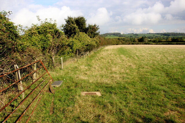
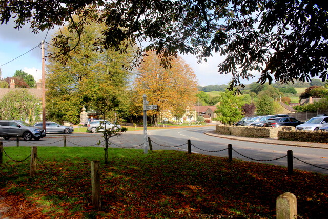
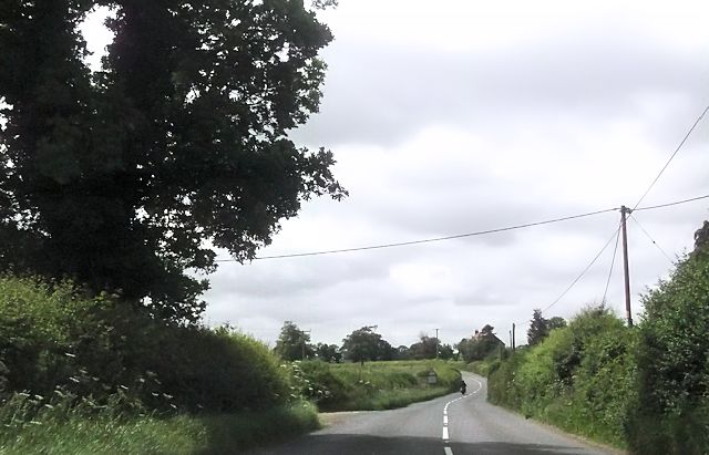
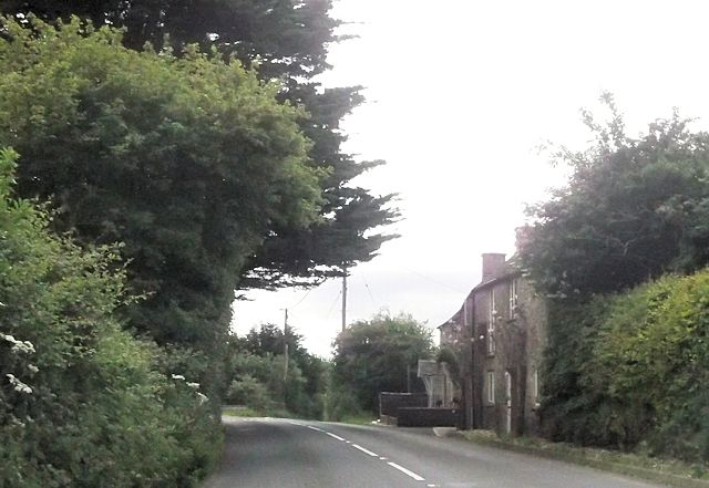
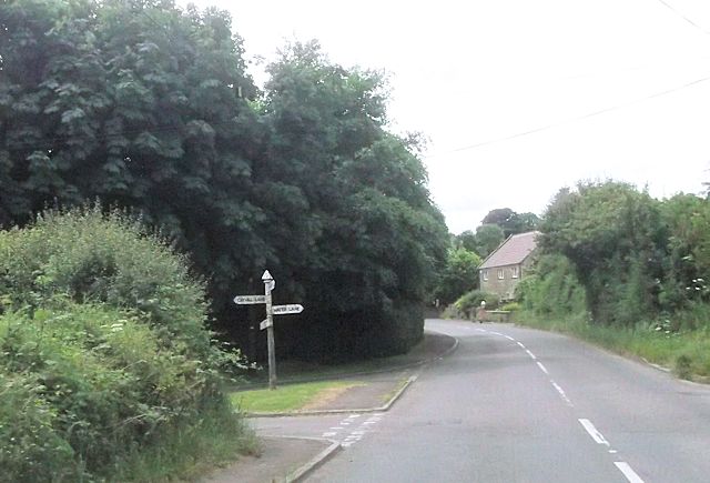
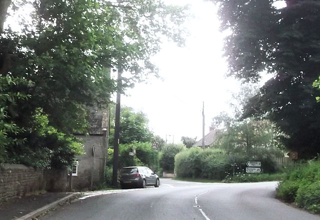
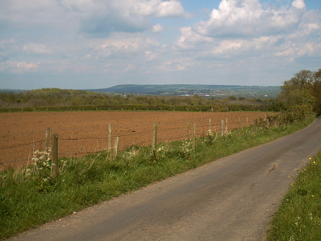
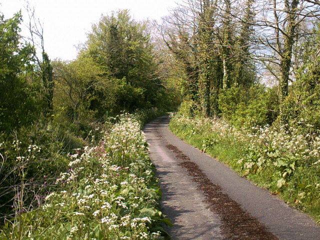
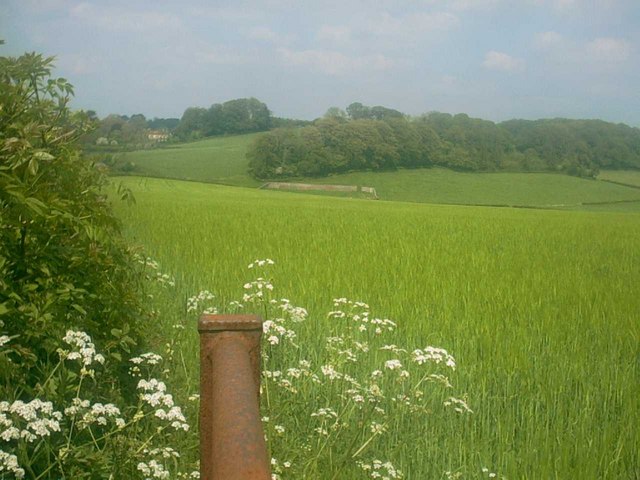
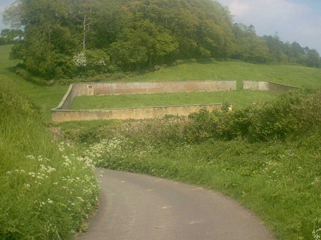
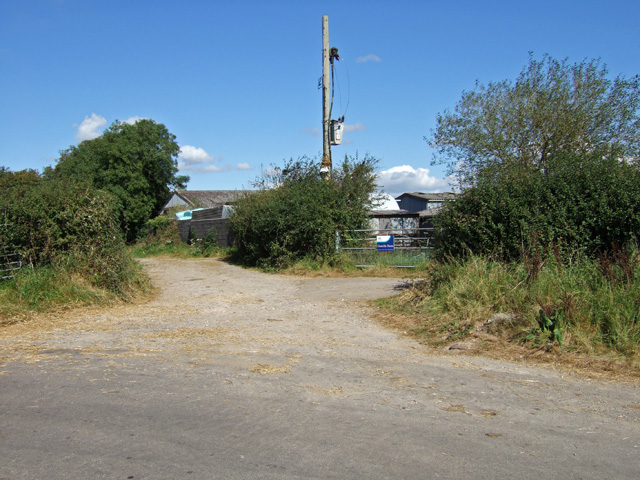
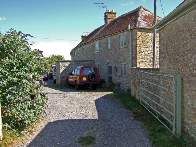
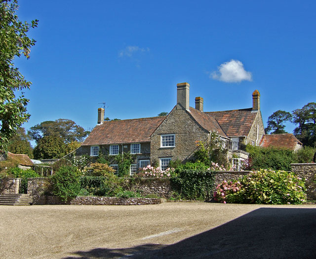
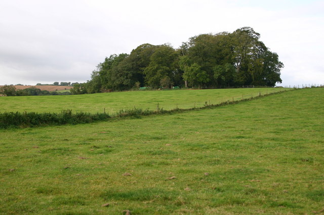
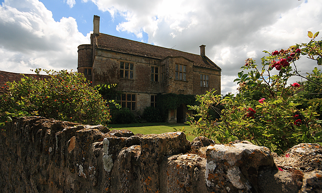
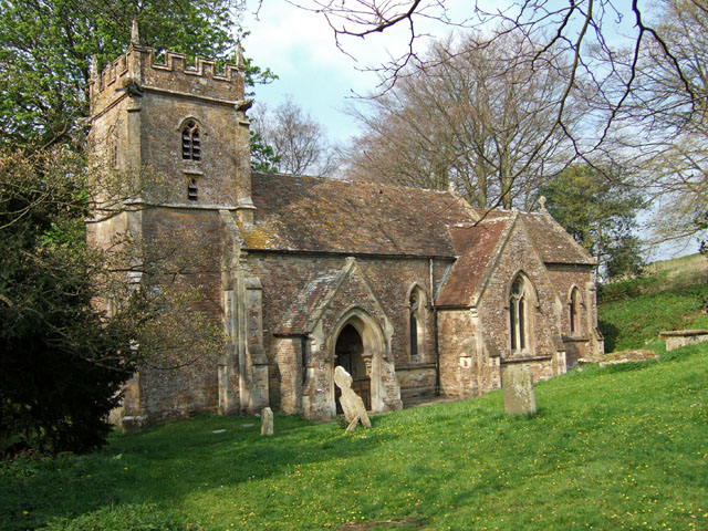
Silver Knap is characterized by its idyllic rural setting, with rolling hills, meandering streams, and lush green fields surrounding the village. The architecture in Silver Knap is predominantly traditional, with charming cottages and farmhouses dotting the landscape. The village church, St. Mary's, dates back to the 12th century and stands as a testament to the village's rich history.
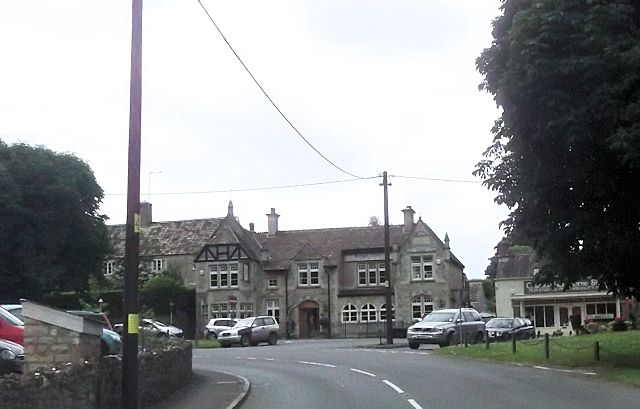
The community in Silver Knap is tight-knit and friendly, with a population of around 500 residents. The village boasts a range of amenities, including a primary school, a village hall, and a local pub, where villagers can gather and socialize. The nearby countryside provides ample opportunities for outdoor activities, such as hiking, cycling, and horseback riding.
Silver Knap is also in close proximity to several notable attractions. The Quantock Hills, a designated Area of Outstanding Natural Beauty, is just a short drive away, offering breathtaking views and extensive walking trails. Additionally, the historic town of Taunton offers a wide range of shops, restaurants, and cultural attractions, including the renowned Taunton Castle.
Overall, Silver Knap offers a peaceful and picturesque retreat for residents and visitors alike, with its stunning natural scenery, rich history, and close-knit community.
If you have any feedback on the listing, please let us know in the comments section below.
Silver Knap Images
Images are sourced within 2km of 51.015963/-2.476974 or Grid Reference ST6624. Thanks to Geograph Open Source API. All images are credited.
Silver Knap is located at Grid Ref: ST6624 (Lat: 51.015963, Lng: -2.476974)
Administrative County: Somerset
District: South Somerset
Police Authority: Avon and Somerset
What 3 Words
///eliminate.bypassed.utter. Near Templecombe, Somerset
Nearby Locations
Related Wikis
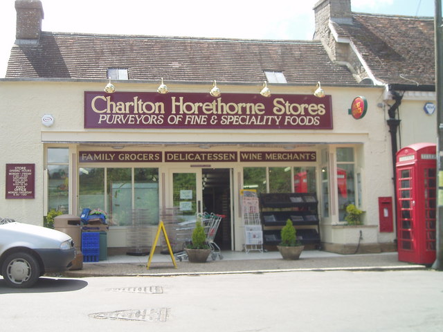
Charlton Horethorne
Charlton Horethorne is a village and civil parish in Somerset, England, situated 5 miles (8 km) south-west of Wincanton and 5 miles (8 km) north-east of...

Church of St Peter and St Paul, Charlton Horethorne
The Anglican Church of St Peter and St Paul in Charlton Horethorne, Somerset, England was built in the 12th century. It is a Grade II* listed building...

Sigwells
Sigwells is a hamlet located in an area rich in archaeology remains, overlooking Cadbury Castle in Somerset, England. It was the target of research by...

Church of St Michael, Blackford
The Anglican Church of St Michael in Blackford, Somerset, England was built in the 11th or 12th century. It is a Grade II* listed building. == History... ==

RNAS Charlton Horethorne (HMS Heron II)
Royal Naval Air Station Charlton Horethorne, (RNAS Charlton Horethorne; or HMS Heron II) is a former Royal Naval Air Station in the hamlet of Sigwells...
Blackford, Somerset
Blackford is a village and former civil parish in the county of Somerset, England, beside the A303 road, 4 miles (6.4 km) south west of Wincanton. There...
Maperton
Maperton is a village and civil parish in Somerset, England, situated 3 miles (4.8 km) south west of Wincanton in the South Somerset district. The village...

Church of St John the Baptist, North Cheriton
The Anglican Church of St John the Baptist in North Cheriton, Somerset, England was built in the 14th century. It is a Grade II* listed building. ��2...
Nearby Amenities
Located within 500m of 51.015963,-2.476974Have you been to Silver Knap?
Leave your review of Silver Knap below (or comments, questions and feedback).