Silver Hill
Settlement in Sussex Rother
England
Silver Hill
Silver Hill is a small village located in the county of Sussex, in the southern part of England. Situated approximately 10 miles from the city of Brighton, it is nestled in a picturesque countryside setting, surrounded by rolling hills and lush green landscapes. The village is known for its tranquil and idyllic atmosphere, making it a popular destination for those seeking a peaceful retreat from city life.
Silver Hill is home to a tight-knit community of residents who are proud of their village's rich history and heritage. The village dates back to the medieval era, and some of its architectural gems, such as the historic St. Mary's Church, still stand today as a testament to its past. The church, with its striking spire and beautiful stained glass windows, serves as a focal point for the community and is often a venue for local events and gatherings.
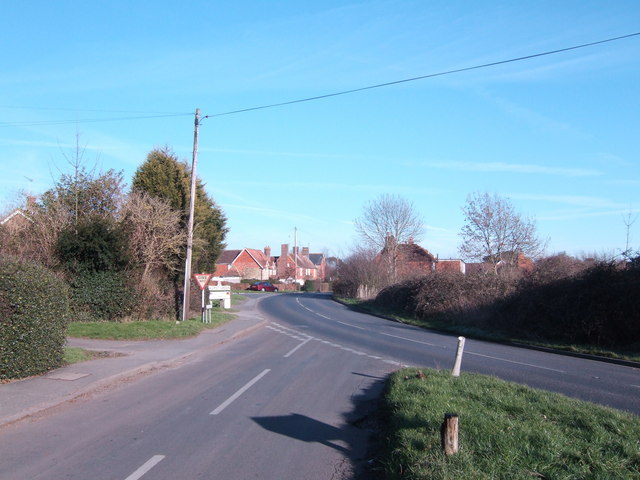
In terms of amenities, Silver Hill offers a range of facilities to cater to the needs of its residents. These include a village hall, a primary school, a post office, and a local pub, where locals and visitors can enjoy traditional British fare and a friendly atmosphere. The village also benefits from excellent transport links, with regular bus services connecting it to nearby towns and cities.
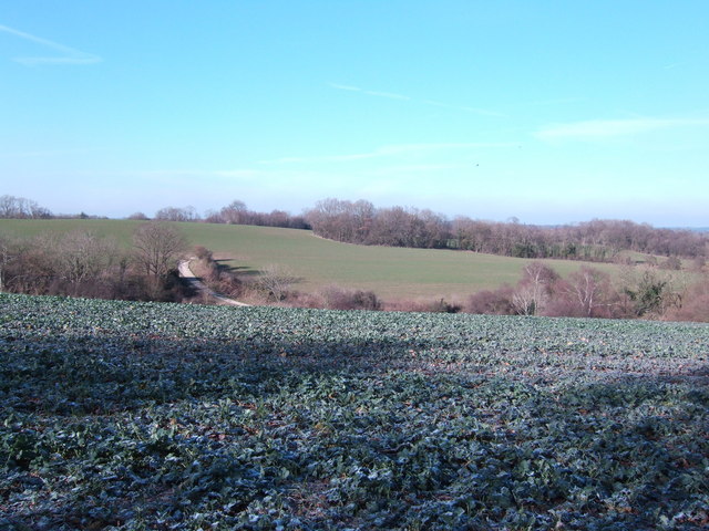
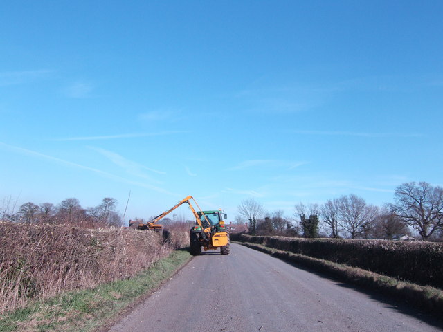
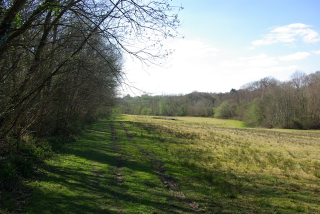
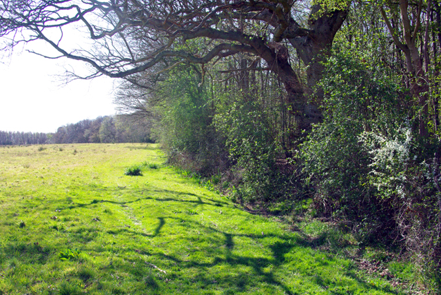
Surrounded by the natural beauty of the Sussex countryside, Silver Hill offers plenty of opportunities for outdoor activities. The village is a gateway to a network of walking trails and cycling routes, allowing residents and visitors to explore the stunning scenery at their leisure.
Overall, Silver Hill is a charming and welcoming village that offers a peaceful escape from the hustle and bustle of modern life, while still providing access to essential amenities and a vibrant local community.
If you have any feedback on the listing, please let us know in the comments section below.
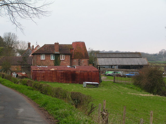
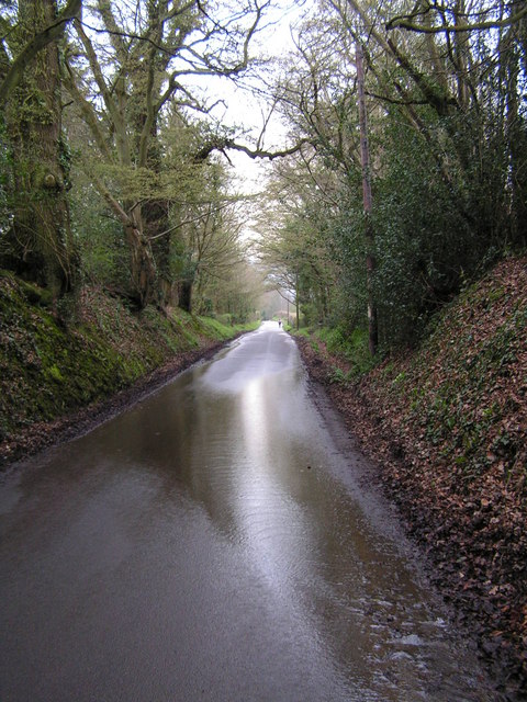
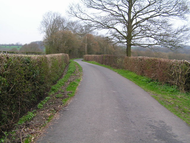
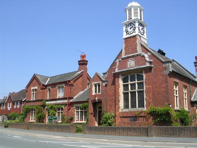
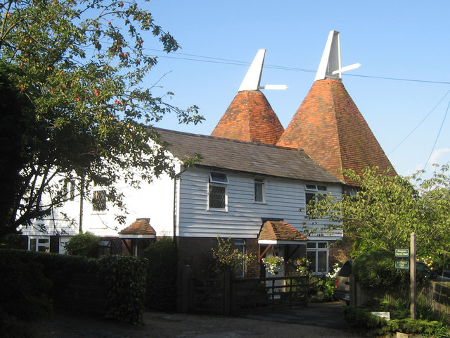
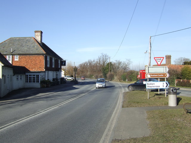
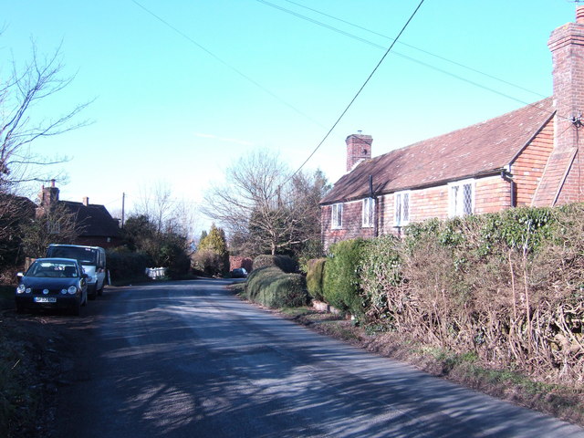
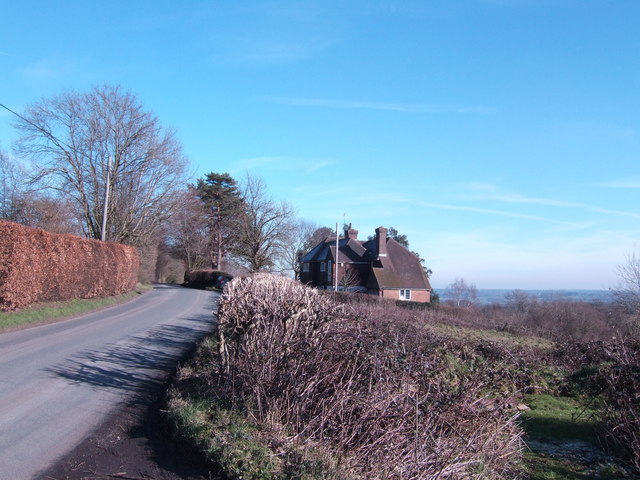
Silver Hill Images
Images are sourced within 2km of 51.007474/0.477852 or Grid Reference TQ7326. Thanks to Geograph Open Source API. All images are credited.


Silver Hill is located at Grid Ref: TQ7326 (Lat: 51.007474, Lng: 0.477852)
Administrative County: East Sussex
District: Rother
Police Authority: Sussex
What 3 Words
///tokens.blazed.storeroom. Near Robertsbridge, East Sussex
Nearby Locations
Related Wikis

Hurst Green, East Sussex
Hurst Green is a village and civil parish in the Rother district of East Sussex, England, and is located south of the East Sussex / Kent border at Flimwell...

Haremere Hall
Haremere Hall is a Grade I listed Jacobean building near Etchingham, East Sussex. == Location == The hall is approximately 11,000-square-foot (1,000 m2...
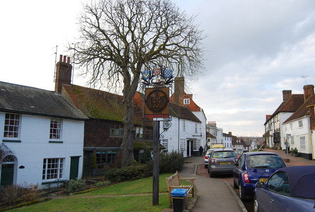
Salehurst and Robertsbridge
Salehurst and Robertsbridge is a civil parish in the Rother district, in the county of East Sussex, England. The parish lies entirely within an Area of...

Salehurst
Salehurst is a village in the Rother district of East Sussex, England, within the civil parish of Salehurst and Robertsbridge. It lies immediately to the...
Nearby Amenities
Located within 500m of 51.007474,0.477852Have you been to Silver Hill?
Leave your review of Silver Hill below (or comments, questions and feedback).