The Brake
Wood, Forest in Somerset South Somerset
England
The Brake
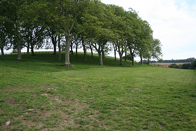
The Brake, Somerset is a serene and picturesque woodland located in the county of Somerset, England. Spread across an expansive area, it offers a tranquil escape from the bustling city life. The woodland is predominantly made up of dense and diverse species of trees, providing a lush green canopy that stretches as far as the eye can see. It is particularly known for its enchanting woodlands, with oak, beech, and ash trees dominating the landscape.
The Brake is a haven for wildlife enthusiasts and nature lovers, as it boasts a rich and varied ecosystem. The woodland is home to a plethora of wildlife, including deer, foxes, badgers, and numerous species of birds. Visitors can often witness these creatures in their natural habitat, making it a popular spot for wildlife photography and birdwatching.
The woodland offers a range of walking trails, allowing visitors to explore its beauty at their own pace. These trails are well-maintained and marked, ensuring a safe and enjoyable experience for all. The paths meander through the forest, leading to hidden gems such as tranquil ponds, ancient trees, and breathtaking viewpoints.
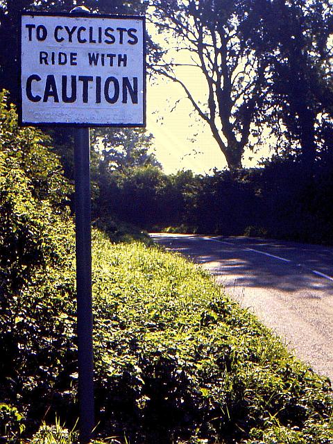
The Brake is also a popular destination for outdoor activities such as hiking, cycling, and picnicking. With its peaceful ambiance and idyllic surroundings, it provides the perfect setting for a leisurely day out with family and friends.
Overall, The Brake, Somerset is a captivating woodland that showcases the natural beauty of Somerset. Its verdant landscape, diverse wildlife, and well-maintained trails make it an ideal destination for those seeking solace and a connection with nature.
If you have any feedback on the listing, please let us know in the comments section below.
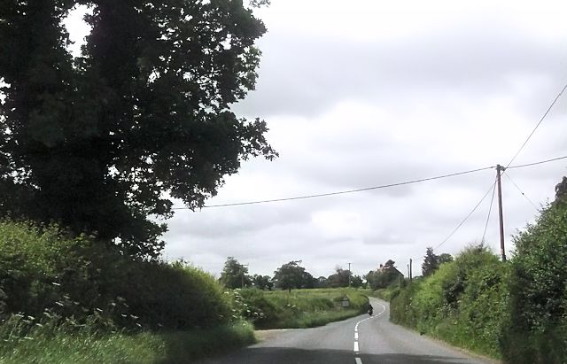
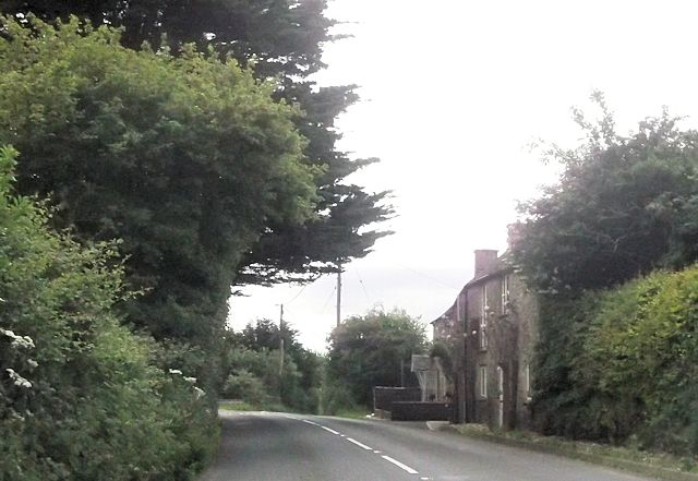
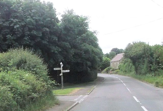
The Brake Images
Images are sourced within 2km of 51.021169/-2.4761855 or Grid Reference ST6624. Thanks to Geograph Open Source API. All images are credited.
The Brake is located at Grid Ref: ST6624 (Lat: 51.021169, Lng: -2.4761855)
Administrative County: Somerset
District: South Somerset
Police Authority: Avon and Somerset
What 3 Words
///screening.wording.banana. Near Templecombe, Somerset
Nearby Locations
Related Wikis
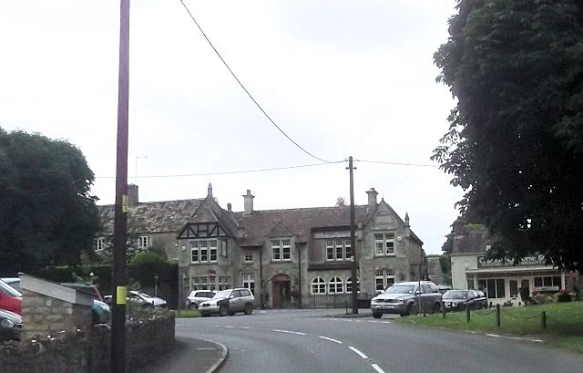
Charlton Horethorne
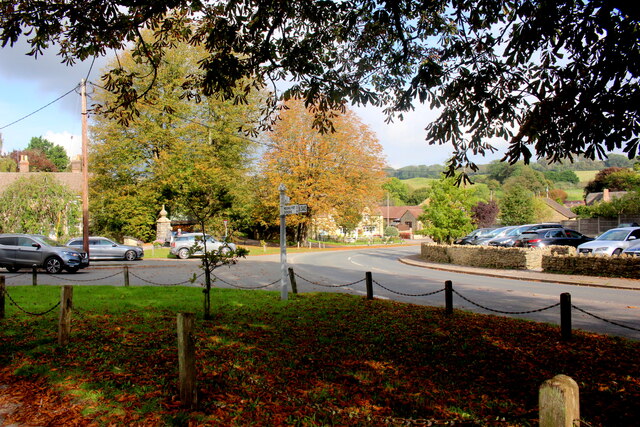
Charlton Horethorne is a village and civil parish in Somerset, England, situated 5 miles (8 km) south-west of Wincanton and 5 miles (8 km) north-east of...

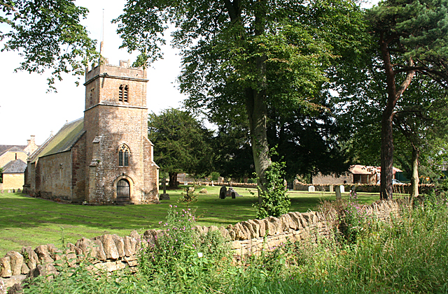
Church of St Michael, Blackford
The Anglican Church of St Michael in Blackford, Somerset, England was built in the 11th or 12th century. It is a Grade II* listed building. == History... ==

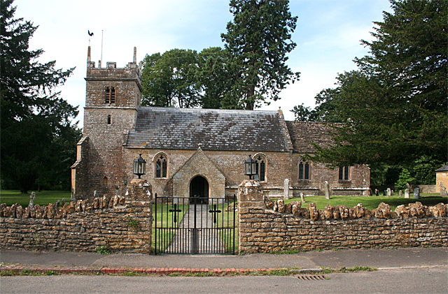
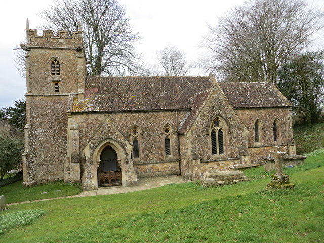
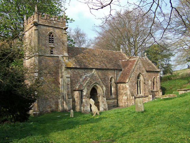
Church of St Peter and St Paul, Charlton Horethorne
The Anglican Church of St Peter and St Paul in Charlton Horethorne, Somerset, England was built in the 12th century. It is a Grade II* listed building...
Blackford, Somerset
Blackford is a village and former civil parish in the county of Somerset, England, beside the A303 road, 4 miles (6.4 km) south west of Wincanton. There...
Maperton
Maperton is a village and civil parish in Somerset, England, situated 3 miles (4.8 km) south west of Wincanton in the South Somerset district. The village...

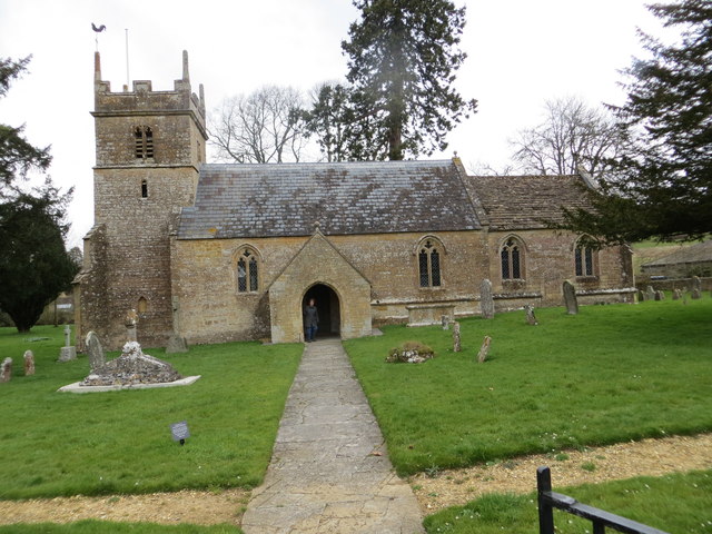
Church of St John the Baptist, North Cheriton
The Anglican Church of St John the Baptist in North Cheriton, Somerset, England was built in the 14th century. It is a Grade II* listed building. ��2...

RNAS Charlton Horethorne (HMS Heron II)
Royal Naval Air Station Charlton Horethorne, (RNAS Charlton Horethorne; or HMS Heron II) is a former Royal Naval Air Station in the hamlet of Sigwells...

Sigwells
Sigwells is a hamlet located in an area rich in archaeology remains, overlooking Cadbury Castle in Somerset, England. It was the target of research by...
Have you been to The Brake?
Leave your review of The Brake below (or comments, questions and feedback).