The Rookery
Wood, Forest in Somerset South Somerset
England
The Rookery
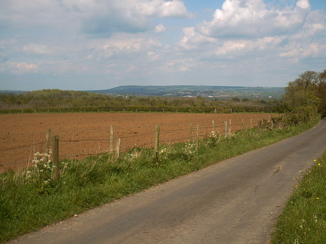
The Rookery, located in Somerset, is a picturesque woodland area known for its enchanting beauty and diverse ecosystem. Situated in the heart of the county, this verdant forest covers an expansive area, offering visitors a tranquil retreat from the hustle and bustle of everyday life.
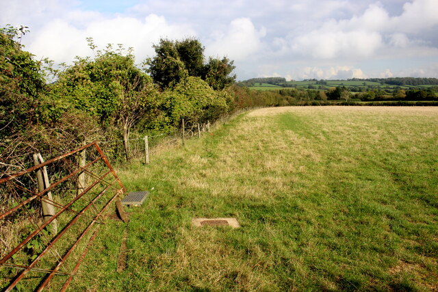
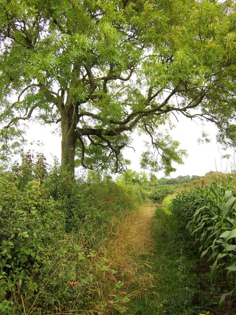
The Rookery is renowned for its thriving wildlife, with an abundance of flora and fauna that call this forest their home. Towering oak and beech trees dominate the landscape, their sprawling branches creating a natural canopy that filters sunlight and casts dappled shadows on the forest floor. Bluebells, primroses, and wild garlic carpet the ground in spring, creating a vibrant tapestry of colors.
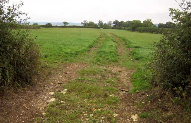
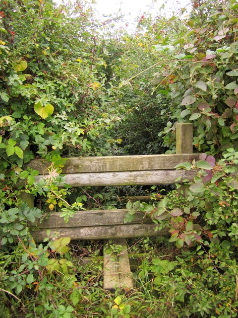
A network of well-maintained trails winds through the forest, offering visitors the opportunity to explore its depths and discover its hidden gems. Nature enthusiasts can spot various bird species, including woodpeckers, owls, and buzzards, while small mammals such as badgers and foxes can occasionally be glimpsed darting through the undergrowth.
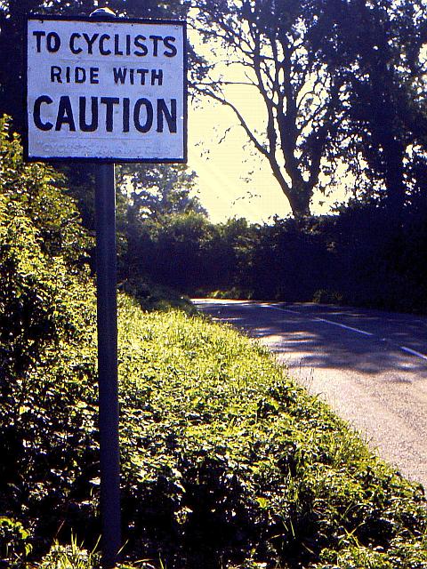
The Rookery is not only a haven for wildlife but also a popular destination for outdoor activities. Hiking, mountain biking, and horseback riding are all enjoyed in this natural playground. The forest also provides a peaceful setting for picnics and leisurely strolls, allowing visitors to immerse themselves in the serenity of nature.
With its diverse ecosystem, scenic beauty, and recreational opportunities, The Rookery in Somerset is a destination that captivates nature lovers and outdoor enthusiasts alike, offering a true escape into the natural wonders of the woodlands.
If you have any feedback on the listing, please let us know in the comments section below.
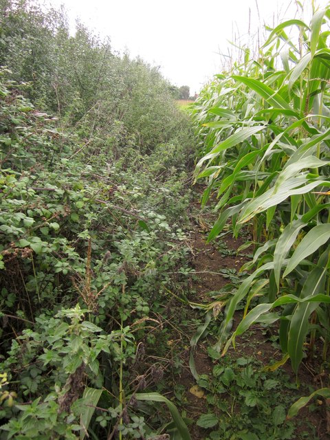
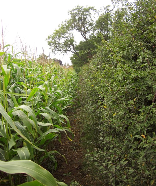
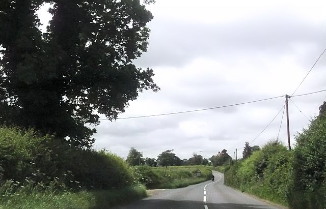
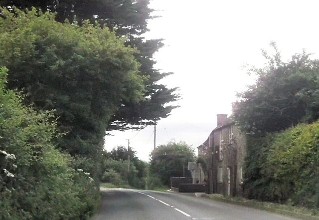
The Rookery Images
Images are sourced within 2km of 51.016783/-2.4732609 or Grid Reference ST6624. Thanks to Geograph Open Source API. All images are credited.

The Rookery is located at Grid Ref: ST6624 (Lat: 51.016783, Lng: -2.4732609)
Administrative County: Somerset
District: South Somerset
Police Authority: Avon and Somerset
What 3 Words
///slugs.unscrew.outfit. Near Templecombe, Somerset
Nearby Locations
Related Wikis
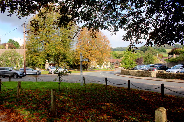
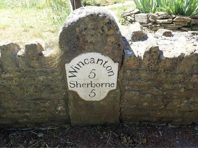
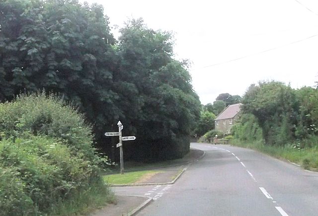
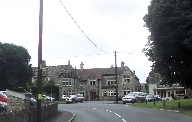
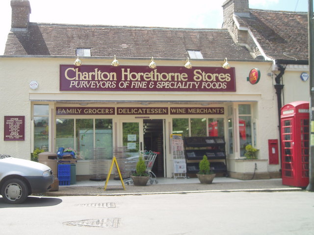
Charlton Horethorne
Charlton Horethorne is a village and civil parish in Somerset, England, situated 5 miles (8 km) south-west of Wincanton and 5 miles (8 km) north-east of...

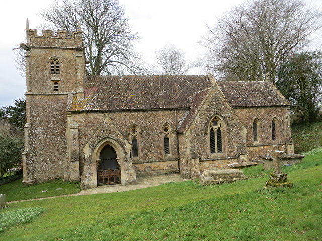
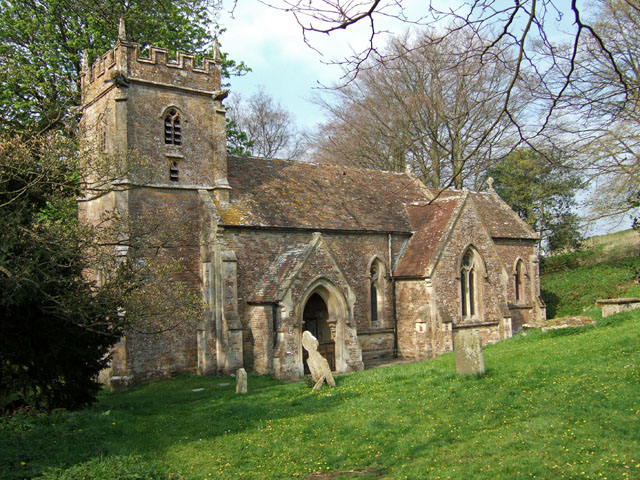
Church of St Peter and St Paul, Charlton Horethorne
The Anglican Church of St Peter and St Paul in Charlton Horethorne, Somerset, England was built in the 12th century. It is a Grade II* listed building...

Church of St Michael, Blackford
The Anglican Church of St Michael in Blackford, Somerset, England was built in the 11th or 12th century. It is a Grade II* listed building. == History... ==
Blackford, Somerset
Blackford is a village and former civil parish in the county of Somerset, England, beside the A303 road, 4 miles (6.4 km) south west of Wincanton. There...
Maperton
Maperton is a village and civil parish in Somerset, England, situated 3 miles (4.8 km) south west of Wincanton in the South Somerset district. The village...

Church of St John the Baptist, North Cheriton
The Anglican Church of St John the Baptist in North Cheriton, Somerset, England was built in the 14th century. It is a Grade II* listed building. ��2...

Sigwells
Sigwells is a hamlet located in an area rich in archaeology remains, overlooking Cadbury Castle in Somerset, England. It was the target of research by...

RNAS Charlton Horethorne (HMS Heron II)
Royal Naval Air Station Charlton Horethorne, (RNAS Charlton Horethorne; or HMS Heron II) is a former Royal Naval Air Station in the hamlet of Sigwells...
Nearby Amenities
Located within 500m of 51.016783,-2.4732609Have you been to The Rookery?
Leave your review of The Rookery below (or comments, questions and feedback).