Scotland Gate

Settlement in Northumberland

England

Scotland Gate

Old Folks Home, Stakeford Typical early 90's sheltered housing.
Old Folks Home, Stakeford Credit: MSX

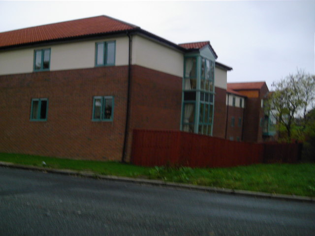
Scotland Gate is a small village located in the county of Northumberland, in the northeast of England. Situated approximately 2 miles east of Morpeth, it lies close to the border with Scotland, hence its name. The village is nestled in a rural landscape, surrounded by picturesque countryside and rolling hills.

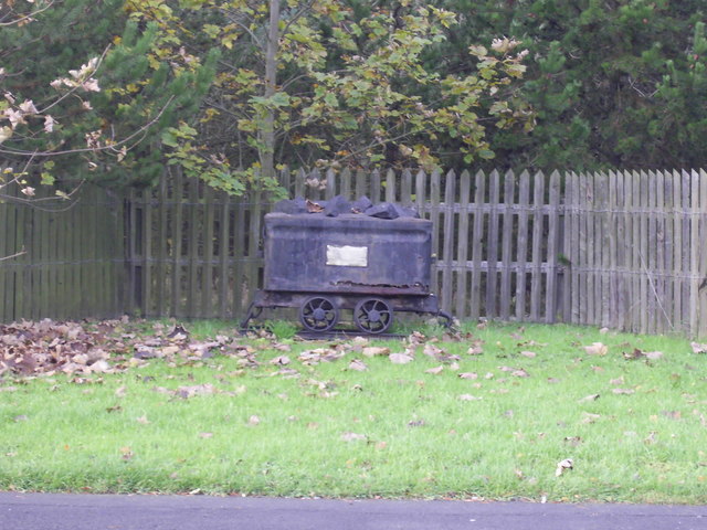
Historically, Scotland Gate was a mining village, with coal mining being the primary industry in the area. The village grew rapidly during the Industrial Revolution when the mining industry was thriving. Today, however, the mines are no longer operational, and the village has transformed into a residential area.

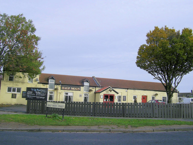
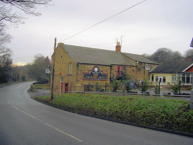
In terms of amenities, Scotland Gate offers a range of facilities to its residents. There is a primary school, providing education for local children, along with a village hall where community events and activities take place. The village also has a local shop and a pub, offering convenience and socializing opportunities for its inhabitants.

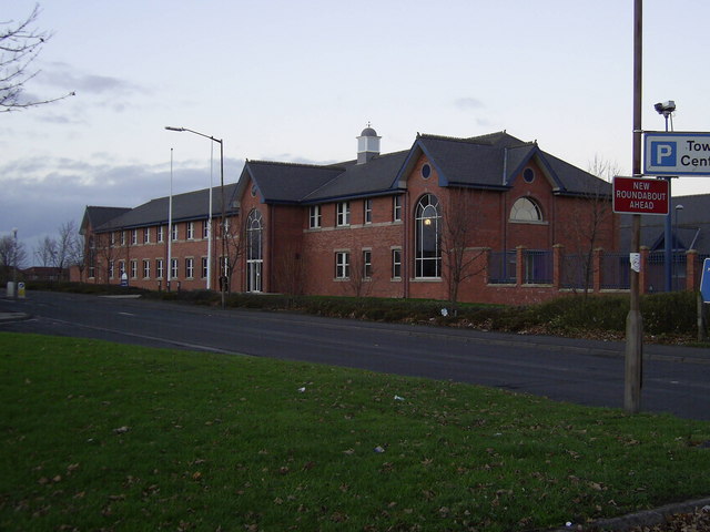
Despite its small size, Scotland Gate benefits from its proximity to Morpeth, a larger town with a wider range of amenities, including supermarkets, restaurants, and leisure facilities. This allows residents of Scotland Gate to access additional services and entertainment options within a short distance.

The village is well-connected by road, with the A1 trunk road passing nearby, providing easy access to Newcastle upon Tyne and other major towns in the region. Additionally, the East Coast Main Line railway runs through Morpeth, providing rail connections to major cities such as Edinburgh and London.

In summary, Scotland Gate is a peaceful village in Northumberland, with a rich industrial history and a close-knit community. Its rural location and convenient access to nearby towns make it an attractive place to live for those seeking a quieter, countryside lifestyle.

If you have any feedback on the listing, please let us know in the comments section below.

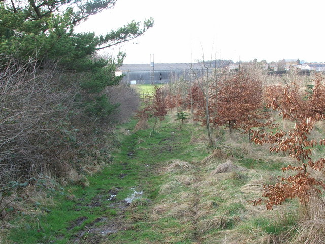
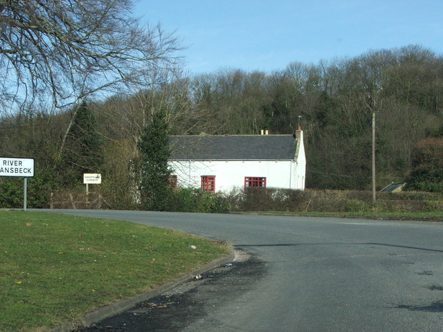
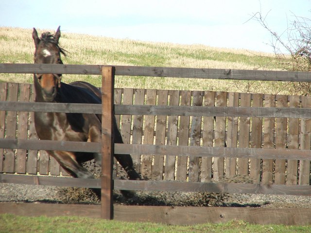
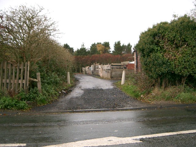
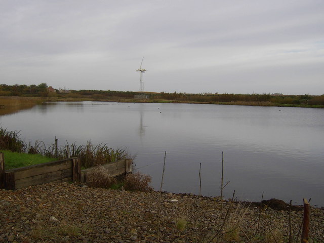
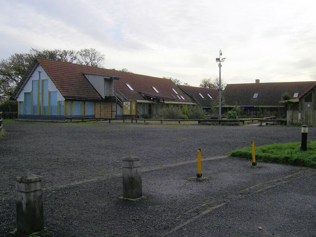
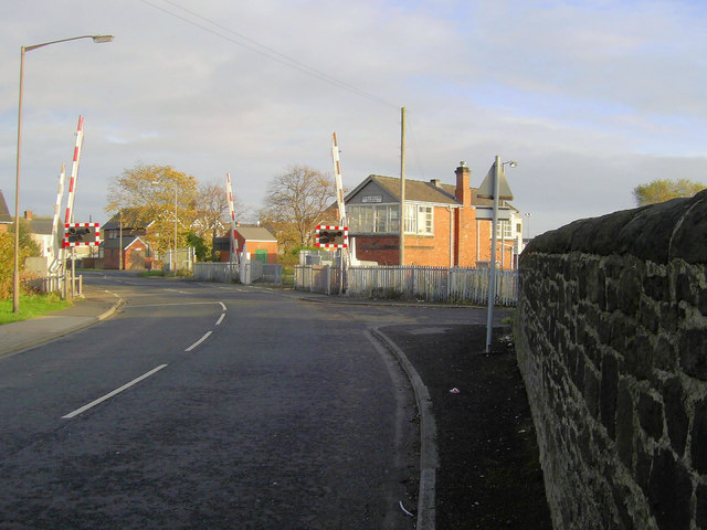
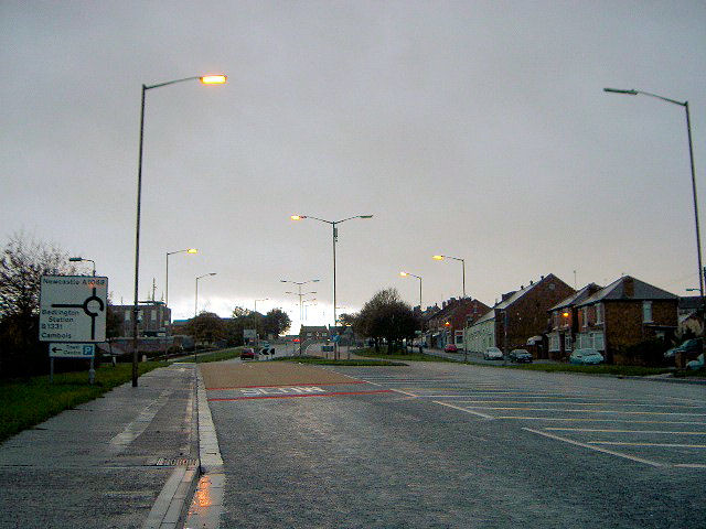
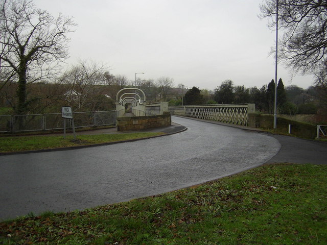
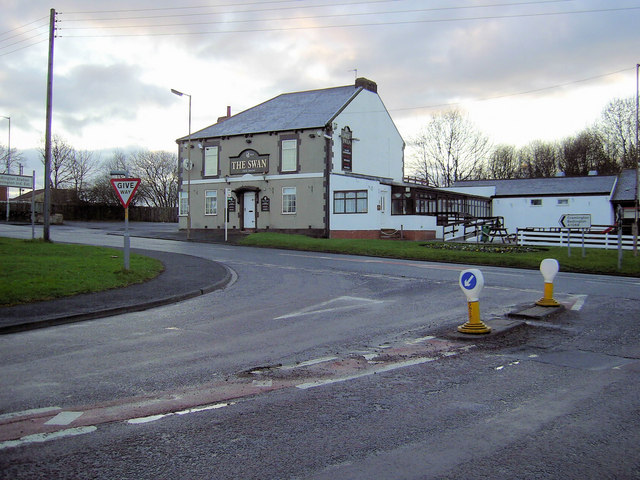
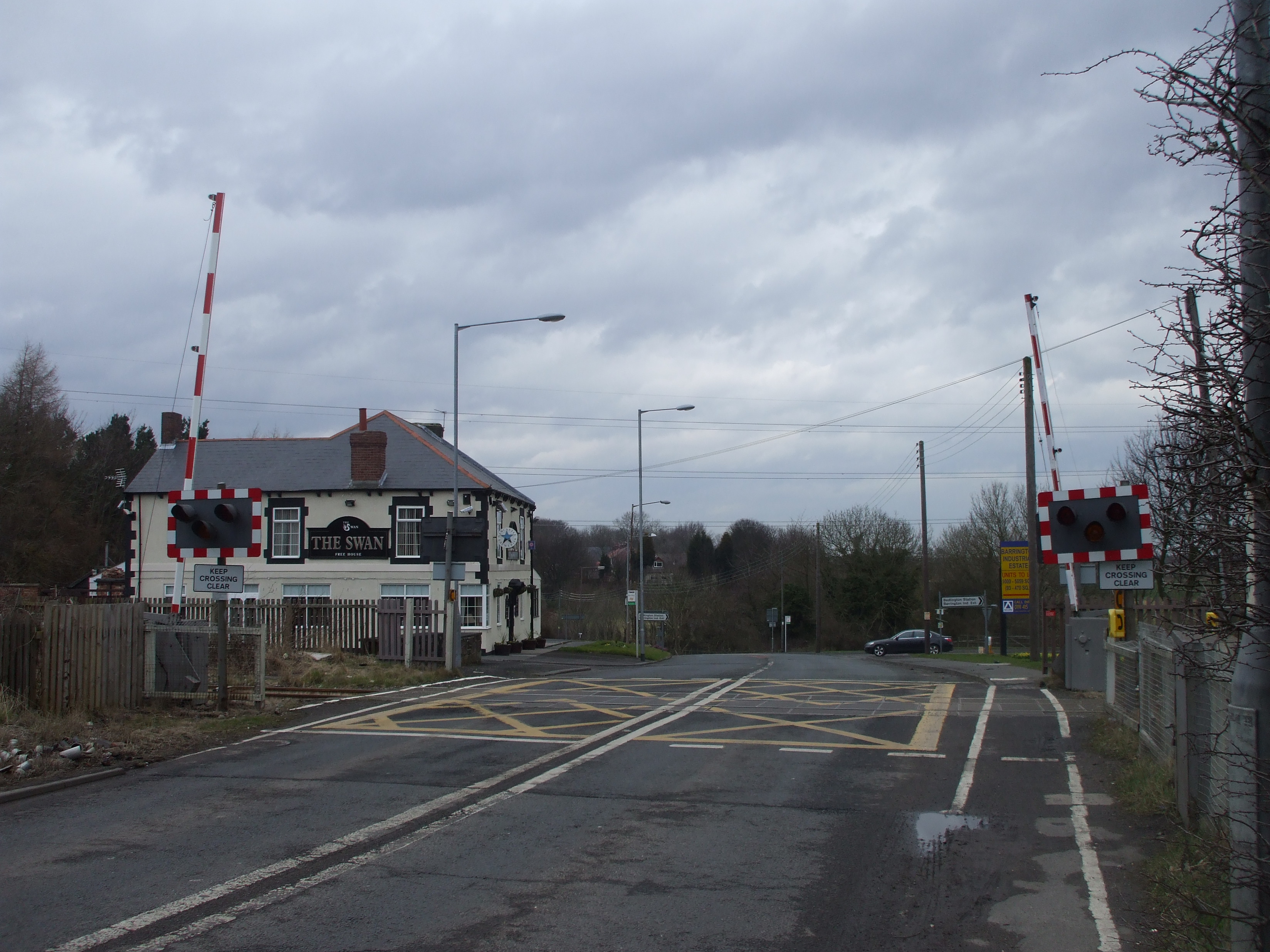
Scotland Gate Images

Images are sourced within 2km of 55.150958/-1.596849 or Grid Reference NZ2584. Thanks to Geograph Open Source API. All images are credited.

Old Folks Home, Stakeford Typical early 90's sheltered housing.
Old Folks Home, Stakeford
Typical early 90's sheltered housing.
Industrial Footpath A footpath from Barrington Road through an industrial estate. Hardly a picturesque stroll.
Industrial Footpath
A footpath from Barrington Road through an industrial estate. Hardly a picturesque stroll.
Footpath Renovations Heavy machinery has ploughed up this footpath during renovations.
Footpath Renovations
Heavy machinery has ploughed up this footpath during renovations.
North Choppington Farm storage.
North Choppington
Farm storage.
Footpath A series of footpaths on the site of Choppington Colliery.
Footpath
A series of footpaths on the site of Choppington Colliery.
The 'White House' Situated at the bottom of Sheepwash Bank before the bridge over the River Wansbeck.
The 'White House'
Situated at the bottom of Sheepwash Bank before the bridge over the River Wansbeck.
Spring in her Step. A mare racing around her paddock full of the joys of Spring.
Spring in her Step.
A mare racing around her paddock full of the joys of Spring.
Allotments Allotment gardens at Choppington
Allotments
Allotment gardens at Choppington
Fishing  Lake Fishing Lake at Earth Balance Bomarsund, Stakeford.
Fishing Lake
Fishing Lake at Earth Balance Bomarsund, Stakeford.
Half Moon Public House Half Moon Pub at Stakeford
Half Moon Public House
Half Moon Pub at Stakeford
Coal tub Old colliery coal tub at Bomarsund, Stakeford.
Coal tub
Old colliery coal tub at Bomarsund, Stakeford.
Police Station This is The New Area Command Police Headquarters for Southeast Northumberland
Police Station
This is The New Area Command Police Headquarters for Southeast Northumberland
Earth Balance Earth Balance Organic Farm And Workshops at Boomarsund Stakeford
Earth Balance
Earth Balance Organic Farm And Workshops at Boomarsund Stakeford
Signal Box Bedlington North Signal Box at Bedlington Station
Signal Box
Bedlington North Signal Box at Bedlington Station
Glebe Road Glebe Road Bank Bedlington
Glebe Road
Glebe Road Bank Bedlington
Anglers Arms Sheepwash
Sheepwash Bridge
Sheepwash Bridge
The Swan Public House
Show me another place!

Scotland Gate is located at Grid Ref: NZ2584 (Lat: 55.150958, Lng: -1.596849)

Unitary Authority: Northumberland

Police Authority: Northumbria

What 3 Words

///mining.splinters.hurt. Near Choppington, Northumberland

Related Wikis

Choppington railway station

Choppington railway station served the village of Choppington, Northumberland, England from 1858 to 1964 on the Blyth and Tyne Railway. == History == The...

Choppington

Choppington is a large village and civil parish in Northumberland, England. It is situated 5 miles to the south-east of Morpeth, and north of Bedlington...

Northumberland Coalfield

The Northumberland Coalfield is a coalfield in north-east England. It is continuous with the Durham Coalfield to its south. It extends from Shilbottle...

Guide Post

Guide Post is a village in South East Northumberland, England, about 17 miles (27 km) north of Newcastle upon Tyne. It lies south of the River Wansbeck...

Sheepwash, Northumberland

Sheepwash is a village and former civil parish, now in the parish of Ashington, in the county of Northumberland, England. It is adjacent to Stakeford and...

Stakeford

Stakeford is a large village in south east Northumberland, England. Its about 17 miles (27 km) north of Newcastle upon Tyne. It lies south of the River...

Bomarsund, Northumberland

Bomarsund is a village in Northumberland, in England. It is situated to the north of Bedlington, and just south of Stakeford. The village grew around a...

St Benet Biscop Catholic Academy

St. Benet Biscop Catholic Academy (formerly S. Benet Biscop Catholic High School) is a Roman Catholic high school in Bedlington, Northumberland, England...

Related Videos

How We Met. Will we Travel Full Time? Who's the Boss? 1K Subscriber Q&A

Music courtesy of Epidemic Sound. Sign up here for a free 30 day trial:- https://www.epidemicsound.com/referral/pxfzez We are ...

How to Prepare and Pack for Kuala Lumpur & Vietnam

Music courtesy of Epidemic Sound. Sign up here for a free 30 day trial:- https://www.epidemicsound.com/referral/pxfzez We are ...

A Walk In Choppington Woods

A Walk In Choppington Woods Email Me At: terry@terrytracker.co.uk Merch: https://shop.spreadshirt.co.uk/terrytracker/ My ...

Nearby Amenities

Located within 500m of 55.150958,-1.596849
Choppington
Place: village
Wikidata: Q5104873
Lat/Long: 55.1486055/-1.6015702
Give Way
Direction: forward
Lat/Long: 55.1508163/-1.6027743
Noexit: yes
Lat/Long: 55.1504726/-1.5988338
Noexit: yes
Lat/Long: 55.1504741/-1.5990215
Post Box
Collection Times: Mo-Fr 09:00, Sa 07:00
Postal Code: NE62 5SA
Ref: NE62 166
Royal Cypher: EIIR
Royal Cypher Wikidata: Q33102113
Lat/Long: 55.1517483/-1.6010988
Scotland Gate War Memorial
Historic: memorial
Lat/Long: 55.1518017/-1.6011723
Noexit: yes
Lat/Long: 55.1531875/-1.5999261
Noexit: yes
Lat/Long: 55.1531608/-1.6001284
Noexit: yes
Lat/Long: 55.1516866/-1.5967989
Noexit: yes
Lat/Long: 55.1515215/-1.596763
Noexit: yes
Lat/Long: 55.1528569/-1.5958769
Noexit: yes
Lat/Long: 55.1533784/-1.5960275
Noexit: yes
Lat/Long: 55.1477423/-1.6009226
Design: three-level
Power: tower
Lat/Long: 55.1477551/-1.5973779
Power: pole
Source: Bing
Lat/Long: 55.1468953/-1.5950115
Power: pole
Source: Bing
Lat/Long: 55.14774/-1.595066
Power: pole
Source: Bing
Lat/Long: 55.148463/-1.5951513
Power: pole
Source: Bing
Lat/Long: 55.1491834/-1.5952058
Power: pole
Source: Bing
Lat/Long: 55.1499155/-1.5946244
Power: pole
Source: Bing
Lat/Long: 55.1507001/-1.5940014
Power: pole
Source: Bing
Lat/Long: 55.1513652/-1.5934732
Power: pole
Source: Bing
Lat/Long: 55.1521552/-1.5928459
Power: pole
Source: Bing
Lat/Long: 55.1528823/-1.5922685
Power: pole
Source: Bing
Lat/Long: 55.1535969/-1.591701
Design: three-level
Power: tower
Lat/Long: 55.1494071/-1.5920623
Maid to Butler Housekeeping Services
Contact Email: enquiries@maidtobutler.co.uk
Contact Phone: +44 845 519 7731
Lat/Long: 55.1498752/-1.602169
In Disguise Costume Hire
Contact Phone: +44 1670 820 999
Contact Website: http://www.in-disguise.co.uk/
Shop: boutique
Lat/Long: 55.1496925/-1.6020885
Groves Accountancy Services
Office: accountant
Lat/Long: 55.1496633/-1.6020733
Post Box
Brand: Royal Mail
Brand Wikidata: Q638098
Collection Times: Mo-Fr 09:00; Sa 07:00
Operator: Royal Mail
Operator Wikidata: Q638098
Post Box Type: lamp
Ref: NE62 80
Royal Cypher: EIIR
Royal Cypher Wikidata: Q33102113
Source: survey
Lat/Long: 55.1498822/-1.6023597
Bus Stop
Bench: no
Bus: yes
Naptan AtcoCode: 3100Z253842
Naptan NaptanCode: nldawtwd
Public Transport: platform
Shelter: yes
Lat/Long: 55.1522916/-1.60302
Noexit: yes
Lat/Long: 55.1478119/-1.6017696
Noexit: yes
Lat/Long: 55.1502591/-1.6018537
Noexit: yes
Lat/Long: 55.1511682/-1.6021388
Noexit: yes
Lat/Long: 55.1514471/-1.6025679
Noexit: yes
Lat/Long: 55.1510888/-1.6023664
Crossing
Button Operated: yes
Crossing: traffic_signals
Crossing Ref: pelican
Kerb: lowered
Traffic Signals Sound: yes
Lat/Long: 55.1506038/-1.6028532
Noexit: yes
Lat/Long: 55.1496098/-1.6021223
Barrier: bollard
Lat/Long: 55.1511773/-1.5993302
Bus Stop
Bus: yes
Naptan AtcoCode: 3100Z254840
Naptan NaptanCode: nldawtwp
Public Transport: platform
Shelter: yes
Lat/Long: 55.1502065/-1.6025555
Bus Stop
Bin: yes
Bus: yes
Naptan AtcoCode: 3100Z253841
Naptan NaptanCode: nldajmwt
Public Transport: platform
Shelter: yes
Lat/Long: 55.1511344/-1.6030934
Bus Stop
Bench: no
Bin: no
Bus: yes
Public Transport: platform
Shelter: no
Lat/Long: 55.1531354/-1.6033588
Give Way
Direction: forward
Lat/Long: 55.1515772/-1.6030972
Give Way
Direction: forward
Lat/Long: 55.1518182/-1.6029953
Give Way
Direction: forward
Lat/Long: 55.1520524/-1.5995767
Give Way
Direction: backward
Lat/Long: 55.1520419/-1.5997309
Noexit: yes
Lat/Long: 55.1534598/-1.6028696
Street Lamp
Source: survey
Lat/Long: 55.1503685/-1.6026561
Charging Station
Source: survey
Lat/Long: 55.1503543/-1.6025823
Noexit: yes
Lat/Long: 55.1539494/-1.6011192
Noexit: yes
Lat/Long: 55.1536406/-1.6029069
Noexit: yes
Lat/Long: 55.1536621/-1.6023537
Entrance: main
Lat/Long: 55.1542038/-1.6014799
Entrance: main
Lat/Long: 55.1503676/-1.6029127
Bus Stop
Bus: yes
Public Transport: platform
Shelter: yes
Lat/Long: 55.1488707/-1.6020619
The data included in this document is from www.openstreetmap.org. The data is made available under ODbL.

Have you been to Scotland Gate?

Leave your review of Scotland Gate below (or comments, questions and feedback).