Scotland Street

Settlement in Suffolk Babergh

England

Scotland Street

Stoke by Nayland Church The finest tower in Suffolk many think.
Stoke by Nayland Church Credit: mym

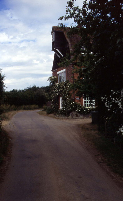
Scotland Street is a quaint and picturesque village located in the beautiful county of Suffolk, England. Nestled amidst rolling green hills and surrounded by idyllic countryside, this charming hamlet offers a peaceful and serene escape from the hustle and bustle of city life.

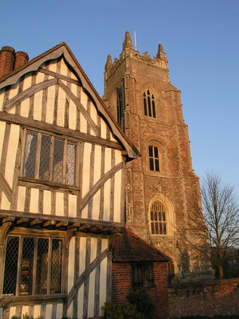
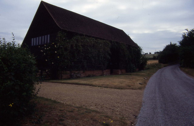
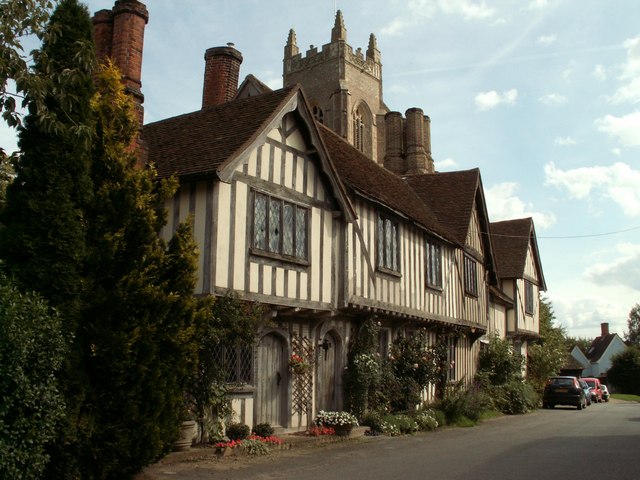
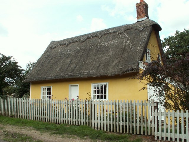
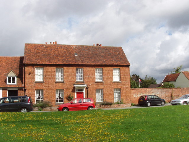
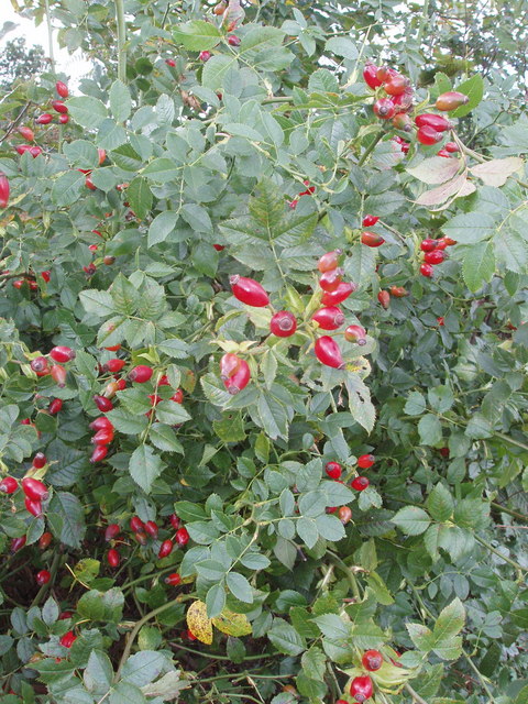
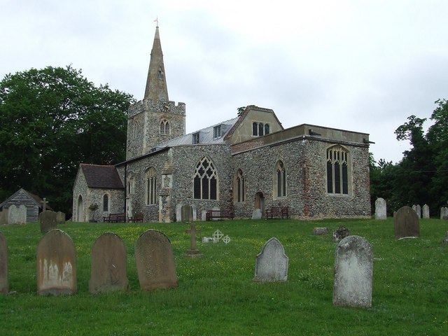
With its origins dating back to medieval times, Scotland Street exudes a rich history and a sense of old-world charm. The village is characterized by its charming thatched-roof cottages, cobblestone streets, and traditional English gardens. The architecture of the buildings reflects the village's heritage, with many structures dating back several centuries.

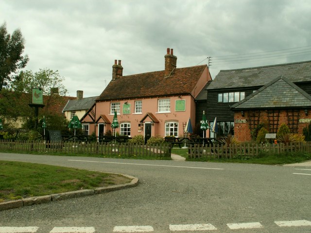
Despite its small size, Scotland Street boasts a strong sense of community. The village is home to a close-knit population of friendly and welcoming residents, who take great pride in preserving the village's heritage and maintaining its unique character. The local pub, The Thistle Inn, serves as a popular gathering place for both locals and visitors alike, offering a warm atmosphere and traditional pub fare.

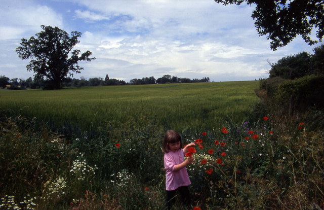
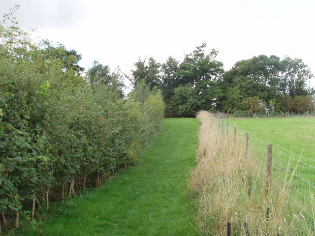
Surrounded by lush green meadows and peaceful countryside, Scotland Street offers ample opportunities for outdoor activities. The village is crisscrossed by scenic walking trails, which provide stunning views of the surrounding landscape. Additionally, the nearby River Orwell offers fishing and boating opportunities for those seeking a more aquatic adventure.

Overall, Scotland Street, Suffolk is a charming and historic village that offers a tranquil and idyllic setting for those seeking a peaceful retreat in the heart of the English countryside.

If you have any feedback on the listing, please let us know in the comments section below.

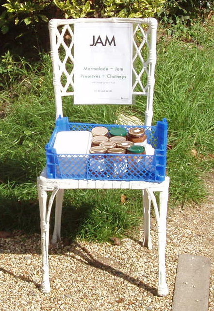
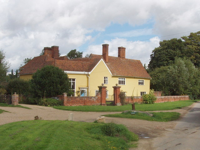
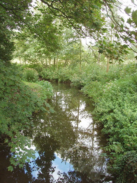
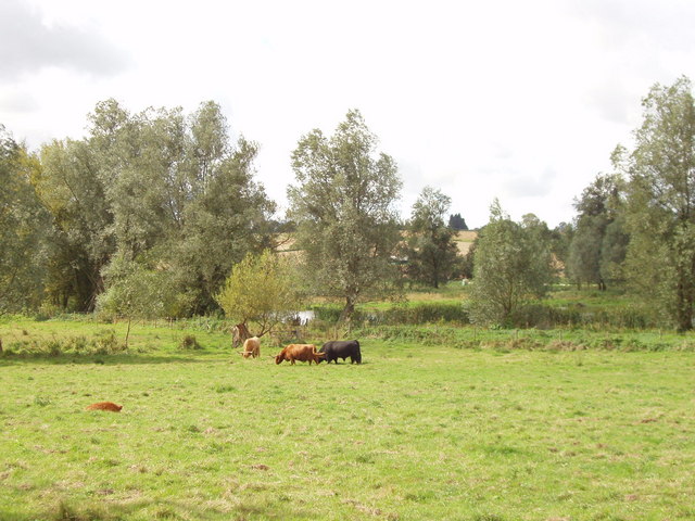
Scotland Street Images

Images are sourced within 2km of 51.991937/0.901582 or Grid Reference TL9936. Thanks to Geograph Open Source API. All images are credited.

Stoke by Nayland Church The finest tower in Suffolk many think.
Stoke by Nayland Church
The finest tower in Suffolk many think.
Polstead church
Polstead church
Stoke-by-Nayland Lovely village in Suffolk's Constable Country
Stoke-by-Nayland
Lovely village in Suffolk's Constable Country
Floral delights in field at Mill Street The summer of 1996 will be forever remembered by me as the year of red poppies.  They seemed to be everywhere and lasted for many weeks.
Floral delights in field at Mill Street
The summer of 1996 will be forever remembered by me as the year of red poppies. They seemed to be everywhere and lasted for many weeks.
Narrow lane in Mill Street This shows a converted mill in the aptly named community of Mill Street
Narrow lane in Mill Street
This shows a converted mill in the aptly named community of Mill Street
Polstead It is 10 years since I took this photograph.  I remember standing on the village green, and there was an inn close to this village sign
Polstead
It is 10 years since I took this photograph. I remember standing on the village green, and there was an inn close to this village sign
Southern aspect from Bell's Corner Looks over a field towards some woods. These fall down into the Box Valley, with the distinctive landmark of Stoke-by-Nayland church in the distance on the opposite side
Southern aspect from Bell's Corner
Looks over a field towards some woods. These fall down into the Box Valley, with the distinctive landmark of Stoke-by-Nayland church in the distance on the opposite side
Converted barn, Scotland Street This is one of those Suffolk Black Barns - this one converted into a home.
Converted barn, Scotland Street
This is one of those Suffolk Black Barns - this one converted into a home.
'The Cock Inn', Polstead, Suffolk
Timber-framed house at Stoke-by-Nayland, Suffolk This 16th century building was once two houses and known as the Maltings. The tower of the parish church can be seen behind.
Timber-framed house at Stoke-by-Nayland, Suffolk
This 16th century building was once two houses and known as the Maltings. The tower of the parish church can be seen behind.
Cottage at Stoke Tye, Suffolk Stoke Tye is a small place northwest of Stoke-by-Nayland and has just a few houses like the one in this picture.
Cottage at Stoke Tye, Suffolk
Stoke Tye is a small place northwest of Stoke-by-Nayland and has just a few houses like the one in this picture.
Vicarage, Stoke by Nayland In Church Street
Vicarage, Stoke by Nayland
In Church Street
Roadside unattended jam stall, Stoke by Nayland Do retail outlets get any smaller? Outside a house in the narrow lane of Scotland Street, Stoke by Nayland, were two chairs holding homemade jam and chutney. We put our £2 in the honesty box for a jar of chutney, and found it excellent. The labels from "Jam Today!" gave us an email address and phone number for ordering more.
Roadside unattended jam stall, Stoke by Nayland
Do retail outlets get any smaller? Outside a house in the narrow lane of Scotland Street, Stoke by Nayland, were two chairs holding homemade jam and chutney. We put our £2 in the honesty box for a jar of chutney, and found it excellent. The labels from "Jam Today!" gave us an email address and phone number for ordering more.
Scotland Place, Stoke by Nayland View from Scotland Street
Scotland Place, Stoke by Nayland
View from Scotland Street
River Box, Stoke by Nayland View from Scotland Street bridge.
River Box, Stoke by Nayland
View from Scotland Street bridge.
Beware of the bull - by the River Box Where the public footpath left Scotland Street, near Stoke by Nayland, was a notice. "Beware of the bull - it's the black one. The cows are placid, but you can divert from the footpath if you prefer to avoid them."
Beware of the bull - by the River Box
Where the public footpath left Scotland Street, near Stoke by Nayland, was a notice. "Beware of the bull - it's the black one. The cows are placid, but you can divert from the footpath if you prefer to avoid them."
Rosehips in hedge, near Polstead
Footpath and hedges, Polstead The path has been fenced off from the field. Young trees have been planted along the fence, and will eventually form a hedge. The hedge on the left includes wild roses, their fruit shown in <a href="https://www.geograph.org.uk/photo/233804">TL9937 : Rosehips in hedge, near Polstead</a>. The tree at the end of the footpath is a sweet chestnut.
Footpath and hedges, Polstead
The path has been fenced off from the field. Young trees have been planted along the fence, and will eventually form a hedge. The hedge on the left includes wild roses, their fruit shown in TL9937 : Rosehips in hedge, near Polstead. The tree at the end of the footpath is a sweet chestnut.
Show me another place!

Scotland Street is located at Grid Ref: TL9936 (Lat: 51.991937, Lng: 0.901582)

Administrative County: Suffolk

District: Babergh

Police Authority: Suffolk

What 3 Words

///doped.playback.spared. Near Boxted, Essex

Related Wikis

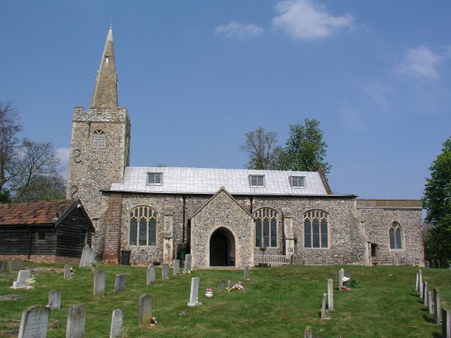
St Mary's Church, Stoke-by-Nayland

St Mary's Church is a Grade I listed parish church in the Church of England in Stoke-by-Nayland. == History == The earliest parts of the church date from...
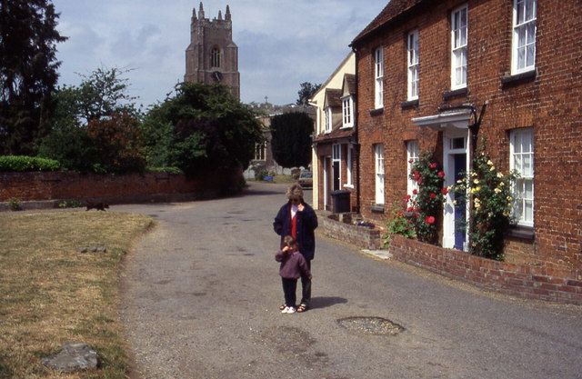
Stoke-by-Nayland

Stoke-by-Nayland is a village and civil parish in the Babergh district, in the county of Suffolk, England, close to the border with Essex. The parish includes...

South Suffolk (UK Parliament constituency)

South Suffolk is a constituency represented in the House of Commons of the UK Parliament since 2015 by James Cartlidge, a Conservative. == History == South...

Gospel Oak, Polstead

The Gospel Oak was a veteran tree in Polstead, Suffolk. The tree is associated with Saint Cedd, who reputedly planted it or preached beneath it. The...
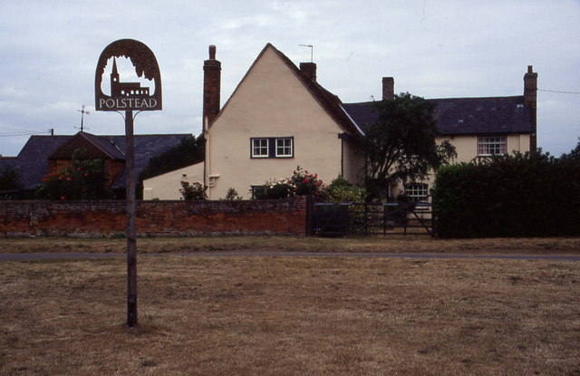
Polstead

Polstead is a village and civil parish in the Babergh district of Suffolk, England. The village lies 3 miles (4.8 km) northeast of Nayland, 5 miles (8...

Withermarsh Green

Withermarsh Green is a village in the civil parish of Stoke-by-Nayland, in the Babergh district, in the county of Suffolk, England. It is located near...

Thorington Street

Thorington Street is a large hamlet on the B1068 road, in the Babergh district, in the English county of Suffolk. The hamlet is part of the civil parish...

Giffords Hall, Stoke-by-Nayland

Giffords Hall (also called Gifford's Hall) is a Tudor manor house near Stoke-by-Nayland in Suffolk, England. It was described by Nikolaus Pevsner as “one...

Related Videos

#77 The Real Life Hay Wain Location in Flatford & Constable Country [Cinematic Hiking Vlog]

The Hay Wain is John Constable's most famous painting, featuring Willy Lott's Cottage and the River Stour dividing the counties of ...

Constable Country 6km Loop Walk

Welcome to the Dedham Vale, where you can track the influences, vistas, and inspirations that gave us John Constable, widely ...

Tour& Tasting Experience at Suffolk Distillery✨ #distillery #distillerytour #gintasting #suffolk

Book your Tour & Tasting Experience with us today! DURATION: approximately 40-60 minutes TIMES: Monday to Thursday ...

Wild Camping - 60km 2 day Thru-hike, Sudbury to Weeley, May 2021 - Day 2 - Andake Ultralight

Spring has finally sprung so it was time to get back out. A beautiful walk through the heart of Constable country. Their will be more ...

Nearby Amenities

Located within 500m of 51.991937,0.901582
Stoke by Nayland
Is In: Suffolk,England,UK
Place: village
Source Name: NPE
Wikidata: Q2042664
Lat/Long: 51.9892706/0.8966564
Barrier: kissing_gate
Lat/Long: 51.9935393/0.9000151
Barrier: kissing_gate
Lat/Long: 51.989347/0.905428
Barrier: kissing_gate
Lat/Long: 51.9897899/0.9042539
Barrier: kissing_gate
Lat/Long: 51.9953017/0.9009559
Barrier: kissing_gate
Lat/Long: 51.9931045/0.9052039
Barrier: kissing_gate
Lat/Long: 51.9907676/0.9001547
Post Box
Collection Times: Mo-Fr 09:00; Sa 07:00
Post Box Mounting: wooden_post
Post Box Type: lamp
Ref: CO6 336D
Royal Cypher: GVIR
Royal Cypher Wikidata: Q33102169
Lat/Long: 51.9929828/0.9060489
Barrier: kissing_gate
Lat/Long: 51.993977/0.904552
Barrier: kissing_gate
Lat/Long: 51.9946417/0.9041043
Barrier: kissing_gate
Lat/Long: 51.9951971/0.9009352
The data included in this document is from www.openstreetmap.org. The data is made available under ODbL.

Have you been to Scotland Street?

Leave your review of Scotland Street below (or comments, questions and feedback).