Black Fen

Downs, Moorland in Suffolk Babergh

England

Black Fen

Avenue of Trees, Polstead
Avenue of Trees, Polstead Credit: Roger Jones

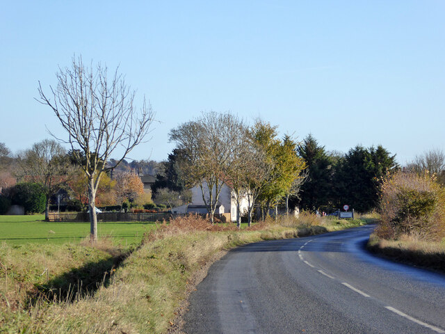
Black Fen, Suffolk, is a diverse and picturesque region located in eastern England. Stretching across an area of approximately 200 square kilometers, Black Fen encompasses a range of landscapes including downs, moorland, and fenland. This region is renowned for its natural beauty and rich biodiversity, attracting nature enthusiasts and outdoor adventurers alike.

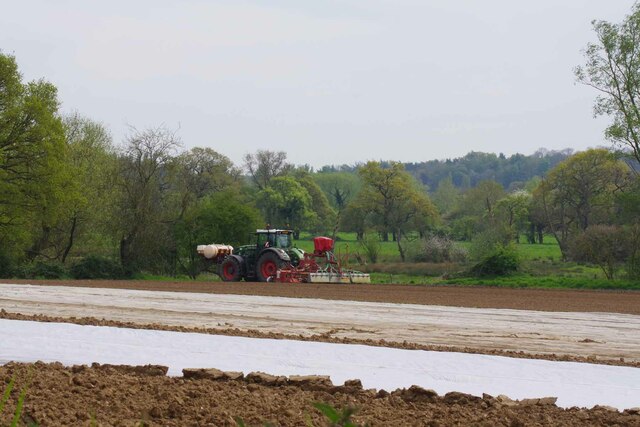
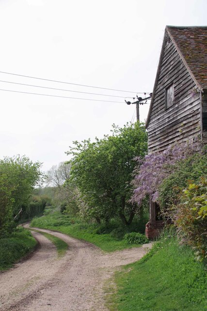
The downs of Black Fen offer stunning panoramic views and rolling hills covered with lush green grass. These areas are often utilized for grazing sheep and cattle, contributing to the region's agricultural significance. The downs are also home to several rare plant species, providing a habitat for unique flora and fauna.

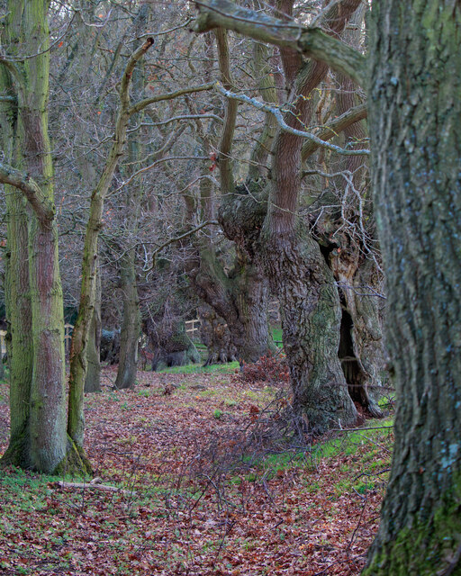
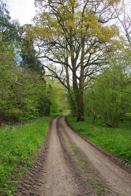
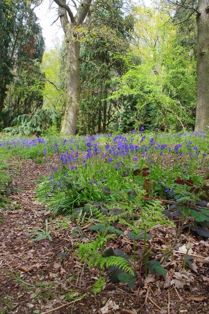
Moorland, another characteristic feature of Black Fen, is characterized by extensive expanses of heather, gorse, and bracken. This rugged terrain is interspersed with small pools and wetlands, creating a haven for a variety of bird species and water-loving creatures. Visitors can explore the moorland through designated walking trails and enjoy the tranquility that this untouched landscape offers.

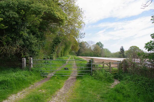
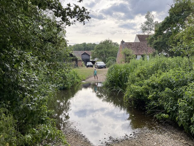
Fenland, found in the southern part of Black Fen, is characterized by marshy and waterlogged areas. These low-lying plains are intersected by numerous small streams and rivers, creating a intricate network of waterways. Fenland is an important habitat for a wide range of birds, including wading birds, ducks, and geese. The region also supports a diverse range of plant life, including reeds, sedges, and water lilies.

Overall, Black Fen, Suffolk, offers a unique blend of downs, moorland, and fenland, showcasing the region's natural beauty and ecological importance. Whether it's exploring the rolling hills, wandering through the moorland, or observing the rich birdlife in the fenland, visitors will be captivated by the diversity and tranquility of this stunning landscape.

If you have any feedback on the listing, please let us know in the comments section below.
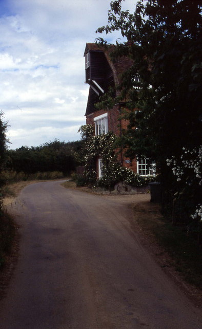
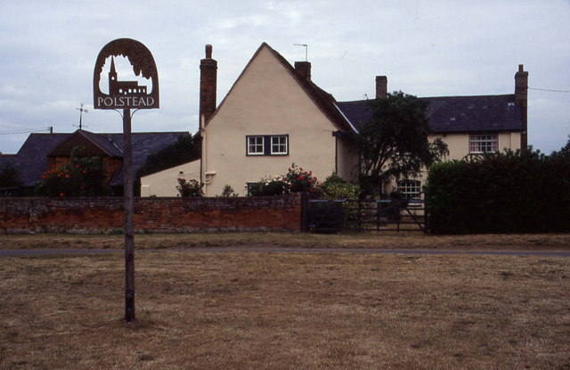
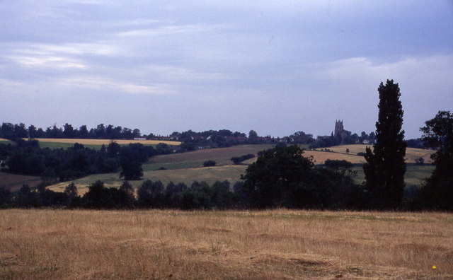
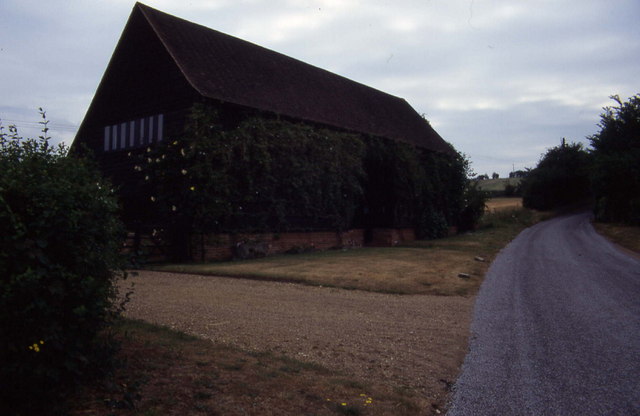
Black Fen Images

Images are sourced within 2km of 51.991228/0.9037192 or Grid Reference TL9936. Thanks to Geograph Open Source API. All images are credited.

Avenue of Trees, Polstead
B1068 towards Thorington Street
Gate on The Tendring Hall Farm Path To the left there was a harrowed field covered with plastic.
Gate on The Tendring Hall Farm Path
To the left there was a harrowed field covered with plastic.
Modern Farming at Tendring Hall Lots of agrichemicals and plastic.
Modern Farming at Tendring Hall
Lots of agrichemicals and plastic.
Path Through Pickess Grove A public footpath through the Tendring Hall Estate.
Path Through Pickess Grove
A public footpath through the Tendring Hall Estate.
Native Bluebells in Pickess Grove My nose alone told me these were <a href="https://www.geograph.org.uk/photo/422951">TM0722 : Hyacinthoides non-scripta</a> in a private wood (taken from the footpath).
Native Bluebells in Pickess Grove
My nose alone told me these were TM0722 : Hyacinthoides non-scripta in a private wood (taken from the footpath).
Old Barn at Grove Farm An ancient barn at the other end of the <a href="https://www.geograph.org.uk/photo/7476656">TL9835 : Footpath to Tendring Hall Farm</a>
Old Barn at Grove Farm
An ancient barn at the other end of the TL9835 : Footpath to Tendring Hall Farm
River Box Ford  This ford on the River Box is found beside Valley Farm. We were fortunate to come across a young badger as we ascended the bridleway beyond the pig farm at Rams Farm.
River Box Ford
This ford on the River Box is found beside Valley Farm. We were fortunate to come across a young badger as we ascended the bridleway beyond the pig farm at Rams Farm.
Stoke by Nayland Church The finest tower in Suffolk many think.
Stoke by Nayland Church
The finest tower in Suffolk many think.
Polstead church
Polstead church
Stoke-by-Nayland Lovely village in Suffolk's Constable Country
Stoke-by-Nayland
Lovely village in Suffolk's Constable Country
Floral delights in field at Mill Street The summer of 1996 will be forever remembered by me as the year of red poppies.  They seemed to be everywhere and lasted for many weeks.
Floral delights in field at Mill Street
The summer of 1996 will be forever remembered by me as the year of red poppies. They seemed to be everywhere and lasted for many weeks.
Narrow lane in Mill Street This shows a converted mill in the aptly named community of Mill Street
Narrow lane in Mill Street
This shows a converted mill in the aptly named community of Mill Street
Polstead It is 10 years since I took this photograph.  I remember standing on the village green, and there was an inn close to this village sign
Polstead
It is 10 years since I took this photograph. I remember standing on the village green, and there was an inn close to this village sign
Southern aspect from Bell's Corner Looks over a field towards some woods. These fall down into the Box Valley, with the distinctive landmark of Stoke-by-Nayland church in the distance on the opposite side
Southern aspect from Bell's Corner
Looks over a field towards some woods. These fall down into the Box Valley, with the distinctive landmark of Stoke-by-Nayland church in the distance on the opposite side
Converted barn, Scotland Street This is one of those Suffolk Black Barns - this one converted into a home.
Converted barn, Scotland Street
This is one of those Suffolk Black Barns - this one converted into a home.
'The Cock Inn', Polstead, Suffolk
Timber-framed house at Stoke-by-Nayland, Suffolk This 16th century building was once two houses and known as the Maltings. The tower of the parish church can be seen behind.
Timber-framed house at Stoke-by-Nayland, Suffolk
This 16th century building was once two houses and known as the Maltings. The tower of the parish church can be seen behind.
Show me another place!

Black Fen is located at Grid Ref: TL9936 (Lat: 51.991228, Lng: 0.9037192)

Administrative County: Suffolk

District: Babergh

Police Authority: Suffolk

What 3 Words

///shall.freely.escorting. Near Boxted, Essex

Related Wikis

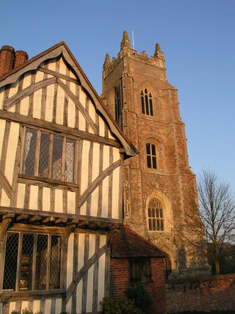
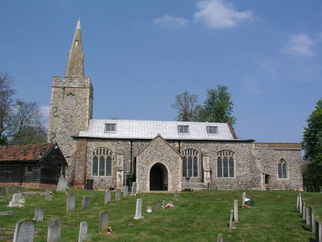
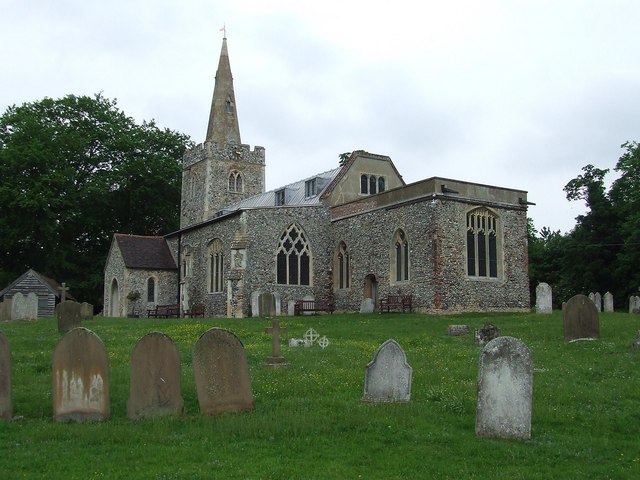
St Mary's Church, Stoke-by-Nayland

St Mary's Church is a Grade I listed parish church in the Church of England in Stoke-by-Nayland. == History == The earliest parts of the church date from...
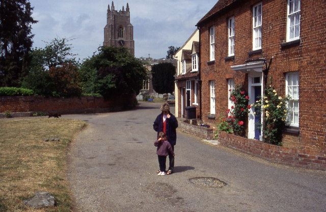
Stoke-by-Nayland

Stoke-by-Nayland is a village and civil parish in the Babergh district, in the county of Suffolk, England, close to the border with Essex. The parish includes...

South Suffolk (UK Parliament constituency)

South Suffolk is a constituency represented in the House of Commons of the UK Parliament since 2015 by James Cartlidge, a Conservative. == History == South...

Withermarsh Green

Withermarsh Green is a village in the civil parish of Stoke-by-Nayland, in the Babergh district, in the county of Suffolk, England. It is located near...

Gospel Oak, Polstead

The Gospel Oak was a veteran tree in Polstead, Suffolk. The tree is associated with Saint Cedd, who reputedly planted it or preached beneath it. The...

Polstead

Polstead is a village and civil parish in the Babergh district of Suffolk, England. The village lies 3 miles (4.8 km) northeast of Nayland, 5 miles (8...

Thorington Street

Thorington Street is a large hamlet on the B1068 road, in the Babergh district, in the English county of Suffolk. The hamlet is part of the civil parish...

Giffords Hall, Stoke-by-Nayland

Giffords Hall (also called Gifford's Hall) is a Tudor manor house near Stoke-by-Nayland in Suffolk, England. It was described by Nikolaus Pevsner as “one...

Nearby Amenities

Located within 500m of 51.991228,0.9037192
Barrier: kissing_gate
Lat/Long: 51.9935393/0.9000151
Barrier: kissing_gate
Lat/Long: 51.989347/0.905428
Barrier: kissing_gate
Lat/Long: 51.9897899/0.9042539
Barrier: kissing_gate
Lat/Long: 51.9953017/0.9009559
Barrier: kissing_gate
Lat/Long: 51.9931045/0.9052039
Barrier: kissing_gate
Lat/Long: 51.9907676/0.9001547
Post Box
Collection Times: Mo-Fr 09:00; Sa 07:00
Post Box Mounting: wooden_post
Post Box Type: lamp
Ref: CO6 336D
Royal Cypher: GVIR
Royal Cypher Wikidata: Q33102169
Lat/Long: 51.9929828/0.9060489
Barrier: kissing_gate
Lat/Long: 51.993977/0.904552
Barrier: kissing_gate
Lat/Long: 51.9946417/0.9041043
Barrier: kissing_gate
Lat/Long: 51.9951971/0.9009352
The data included in this document is from www.openstreetmap.org. The data is made available under ODbL.

Have you been to Black Fen?

Leave your review of Black Fen below (or comments, questions and feedback).