Tendring Hall Park
Downs, Moorland in Suffolk Babergh
England
Tendring Hall Park
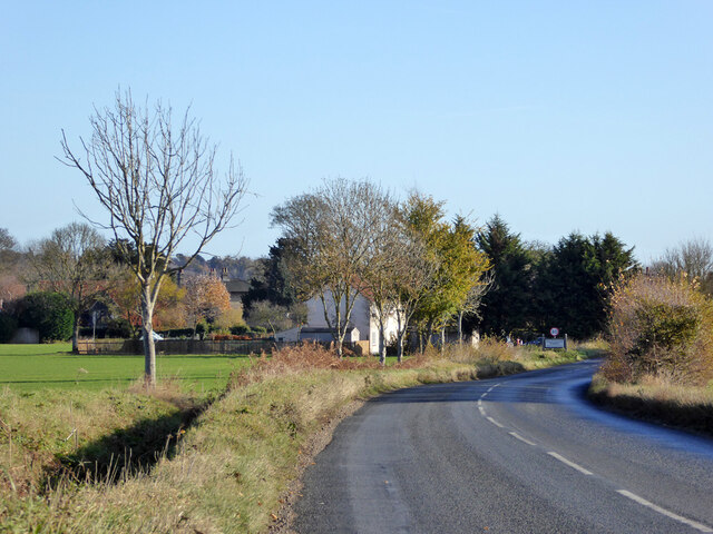
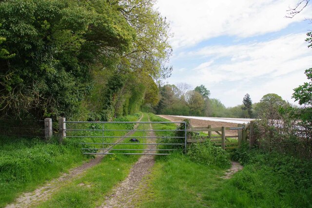
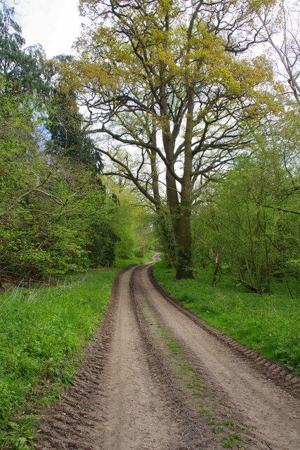
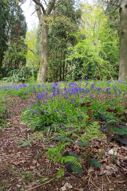
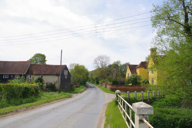
Tendring Hall Park, located in Suffolk, England, is a picturesque and expansive park known for its breathtaking natural beauty and diverse landscapes. Spanning over a vast area, the park encompasses downs, moorland, and various other habitats, making it a haven for wildlife enthusiasts and nature lovers.
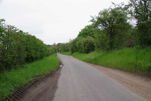
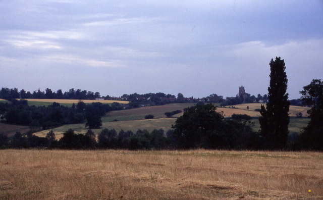
The downs in Tendring Hall Park provide visitors with sweeping views of the surrounding countryside, with its rolling hills and open grasslands. Many visitors enjoy taking leisurely walks or hikes along the well-maintained trails that wind through these downs, immersing themselves in the tranquility and serenity of the surroundings.
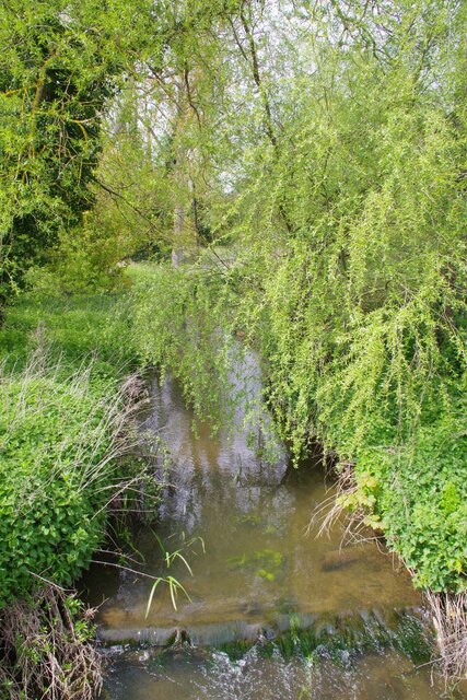
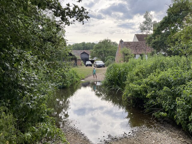
The park also boasts extensive moorland, characterized by its wet and boggy terrain. This unique habitat is home to a wide range of plant and animal species, including rare birds, insects, and wildflowers. Birdwatchers flock to Tendring Hall Park to catch glimpses of elusive species such as curlews and lapwings.
In addition to its natural wonders, Tendring Hall Park offers recreational facilities for visitors to enjoy. The park features picnic areas, where families and friends can gather for outdoor meals amidst the idyllic surroundings. There are also designated spots for camping, allowing nature enthusiasts to spend a night under the starry skies.
Overall, Tendring Hall Park is a hidden gem in Suffolk, offering visitors a chance to escape the hustle and bustle of everyday life and immerse themselves in the beauty of nature. With its downs, moorland, and diverse wildlife, the park provides a sanctuary for both humans and animals alike.
If you have any feedback on the listing, please let us know in the comments section below.
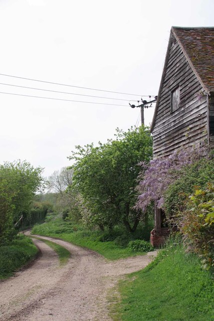
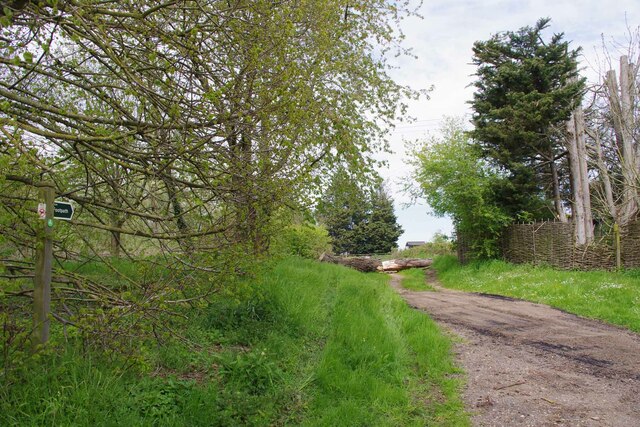
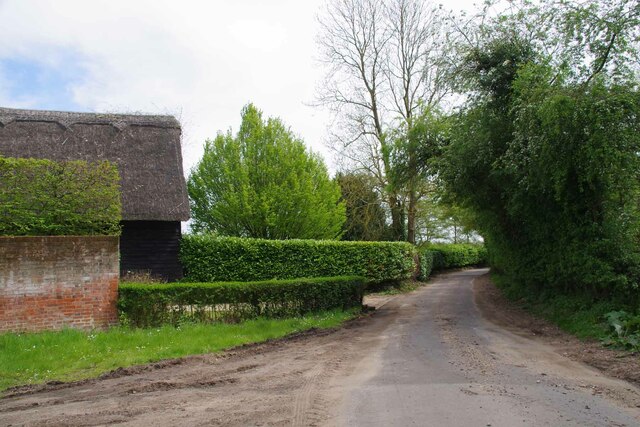
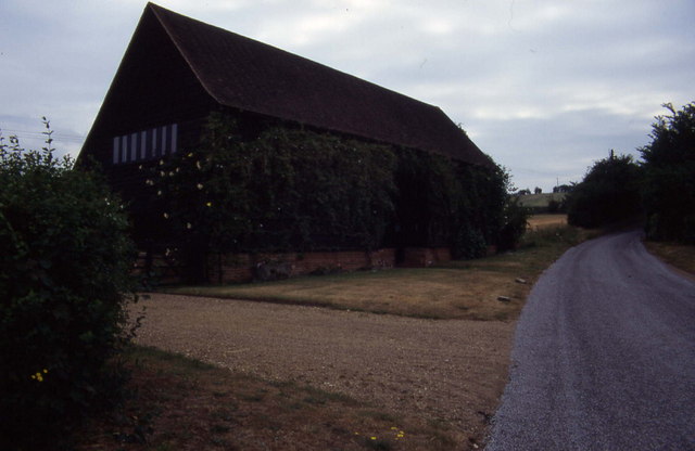
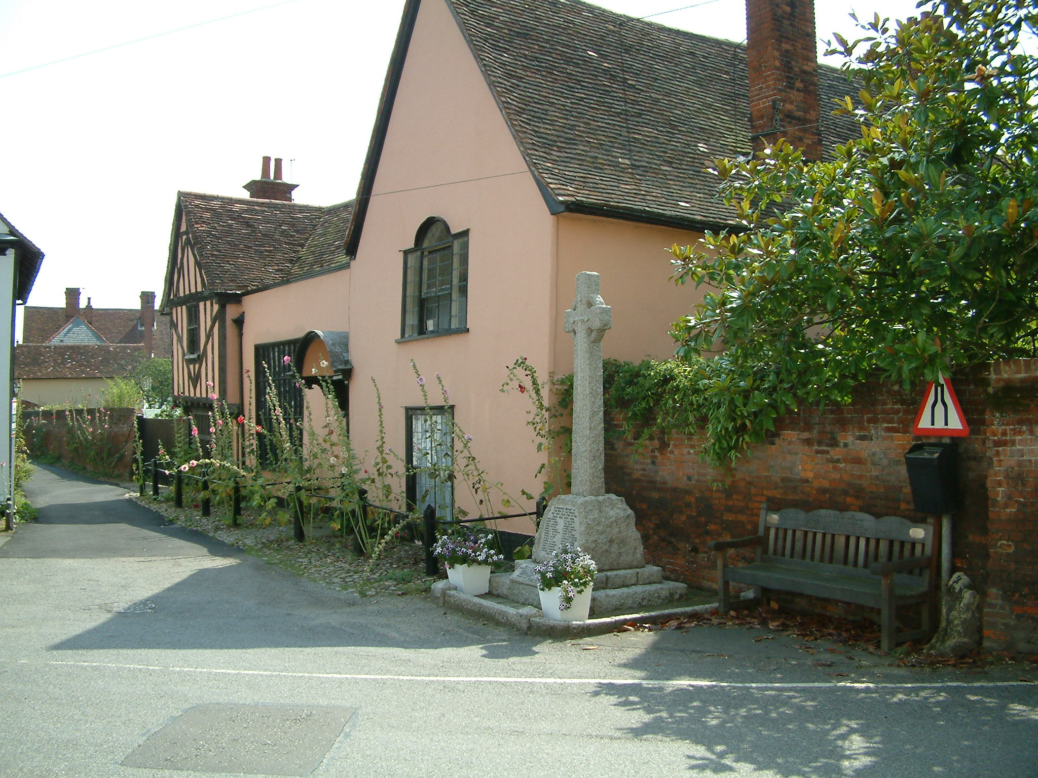
Tendring Hall Park Images
Images are sourced within 2km of 51.983461/0.90176002 or Grid Reference TL9935. Thanks to Geograph Open Source API. All images are credited.

Tendring Hall Park is located at Grid Ref: TL9935 (Lat: 51.983461, Lng: 0.90176002)
Administrative County: Suffolk
District: Babergh
Police Authority: Suffolk
What 3 Words
///diplomas.plunge.fortified. Near Boxted, Essex
Nearby Locations
Related Wikis

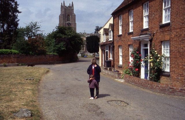
Stoke-by-Nayland
Stoke-by-Nayland is a village and civil parish in the Babergh district, in the county of Suffolk, England, close to the border with Essex. The parish includes...

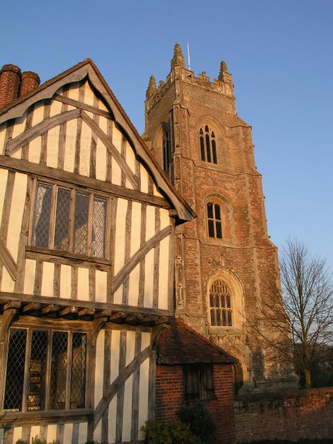
St Mary's Church, Stoke-by-Nayland
St Mary's Church is a Grade I listed parish church in the Church of England in Stoke-by-Nayland. == History == The earliest parts of the church date from...

South Suffolk (UK Parliament constituency)
South Suffolk is a constituency represented in the House of Commons of the UK Parliament since 2015 by James Cartlidge, a Conservative. == History == South...

Thorington Street
Thorington Street is a large hamlet on the B1068 road, in the Babergh district, in the English county of Suffolk. The hamlet is part of the civil parish...

Withermarsh Green
Withermarsh Green is a village in the civil parish of Stoke-by-Nayland, in the Babergh district, in the county of Suffolk, England. It is located near...

Boxted, Essex
Boxted is a village and civil parish in the City of Colchester district of Essex, England. It is located approximately 5 miles (8 km) north of Colchester...
Nayland
Nayland is a village and former civil parish, now in the parish of Nayland-with-Wissington, in the Babergh district, in the county of Suffolk, England...
Boxted House
Boxted House is a Grade II listed house in Boxted, Essex. It was built in about 1830.It was home to the advertising executive Bobby Bevan (1901-1974),...
Nearby Amenities
Located within 500m of 51.983461,0.90176002Have you been to Tendring Hall Park?
Leave your review of Tendring Hall Park below (or comments, questions and feedback).