Ash Ground

Downs, Moorland in Suffolk Babergh

England

Ash Ground

Polstead Street, Stoke by Nayland
Polstead Street, Stoke by Nayland Credit: David Howard

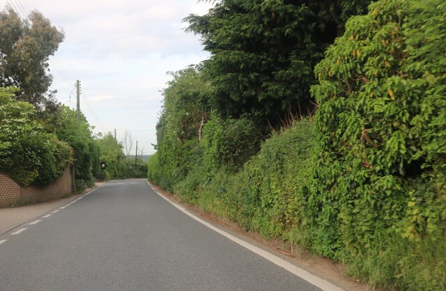
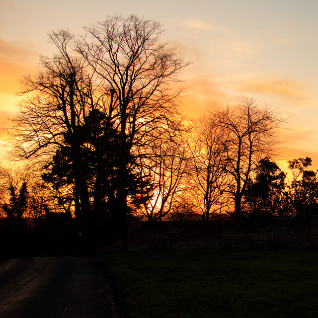
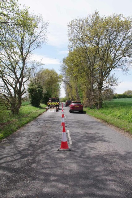
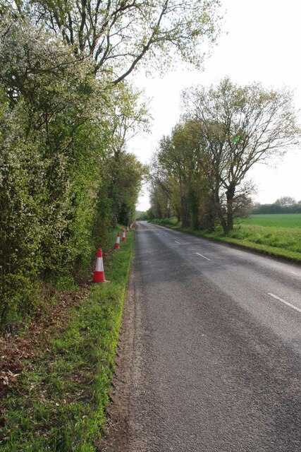
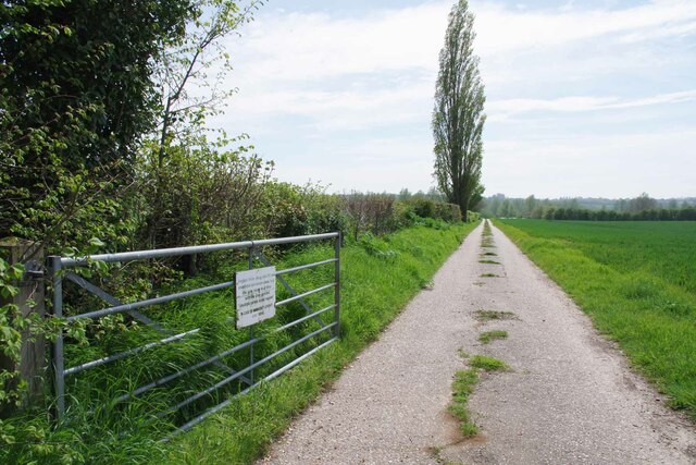
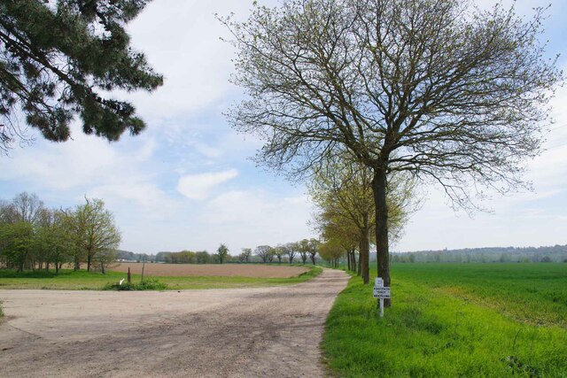
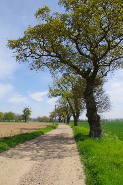
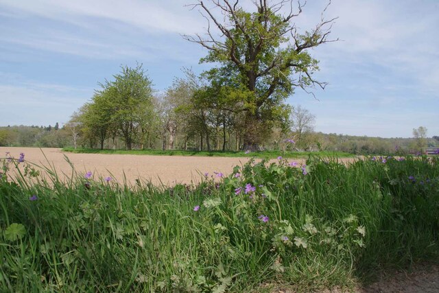
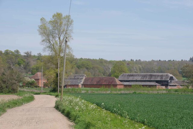
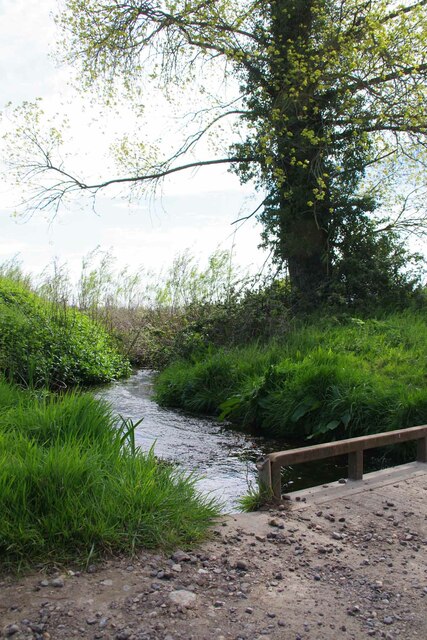
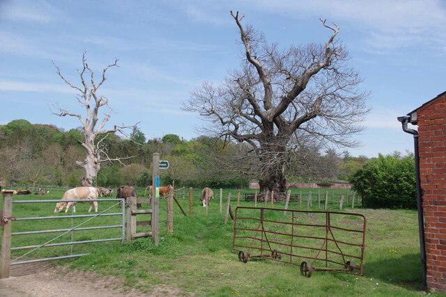
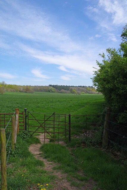
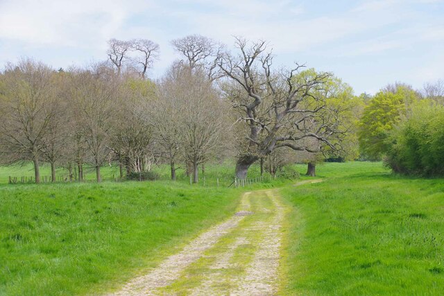
Ash Ground is a picturesque area located in Suffolk, England. This region is characterized by its diverse landscape, encompassing downs, moorland, and rolling hills. It is situated in the eastern part of the county, near the town of Sudbury.

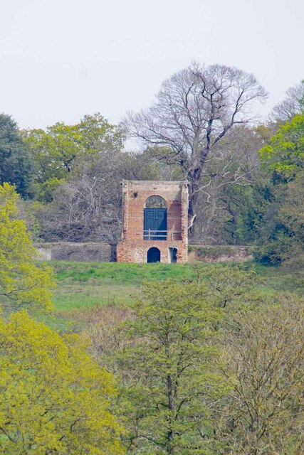
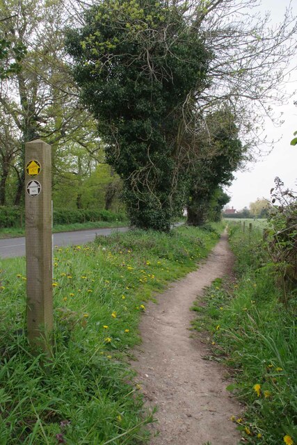
The downs in Ash Ground are notable for their extensive grassy slopes, which offer stunning views of the surrounding countryside. This area is particularly popular among hikers and nature enthusiasts, who can explore the numerous walking trails that crisscross the downs. The landscape is dotted with ancient burial mounds and historical landmarks, adding to its charm and historical significance.

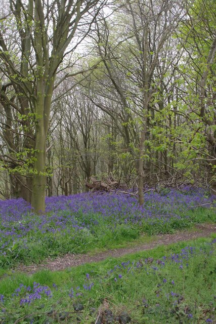
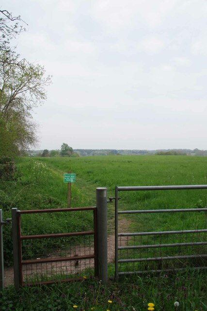
Moorland is another prominent feature of Ash Ground. This type of landscape is characterized by vast open expanses, covered in heather, gorse, and other wildflowers. The moorland in Ash Ground is known for its rich biodiversity, supporting a variety of plant and animal species. Visitors can spot rare birds, such as the Dartford warbler and the nightjar, as well as observe unique flora like the carnivorous sundew.

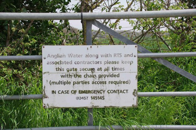
The tranquility and natural beauty of Ash Ground make it an ideal location for outdoor activities such as birdwatching, picnicking, and photography. The area also has designated areas for camping and caravanning, allowing visitors to fully immerse themselves in the natural surroundings.

Overall, Ash Ground in Suffolk offers a diverse and captivating landscape, with its downs, moorland, and rolling hills providing a haven for nature enthusiasts and those seeking a peaceful retreat.

If you have any feedback on the listing, please let us know in the comments section below.

Ash Ground Images

Images are sourced within 2km of 51.984586/0.90937776 or Grid Reference TL9935. Thanks to Geograph Open Source API. All images are credited.

Polstead Street, Stoke by Nayland
Stoke Silhouettes at Sunset Looking towards a line of trees over a small green at Church Street, Stoke-by-Nayland.
Stoke Silhouettes at Sunset
Looking towards a line of trees over a small green at Church Street, Stoke-by-Nayland.
Cable Laying on the B1087 A fibre optic cable in a green conduit was being buried under the verge by a glorified plough. It enabled the job to be done in a matter of hours.
 See <a href="https://www.geograph.org.uk/photo/7476636">TL9834 : Job Done on the B1087</a>.
Cable Laying on the B1087
A fibre optic cable in a green conduit was being buried under the verge by a glorified plough. It enabled the job to be done in a matter of hours. See TL9834 : Job Done on the B1087.
Job Done on the B1087 Less than five hours after <a href="https://www.geograph.org.uk/photo/7476624">TL9834 : Cable Laying on the B1087</a> was taken the cable is buried and the turf looks undisturbed.
Job Done on the B1087
Less than five hours after TL9834 : Cable Laying on the B1087 was taken the cable is buried and the turf looks undisturbed.
Track to the Sewage Works The sign on the gate was clearly <a href="https://www.geograph.org.uk/photo/7476651">TL9834 : Something to be Ignored</a>.
Track to the Sewage Works
The sign on the gate was clearly TL9834 : Something to be Ignored.
Something to be Ignored For the record the gate to the  <a href="https://www.geograph.org.uk/photo/7476639">TL9834 : Track to the Sewage Works</a> was not secured open.
Something to be Ignored
For the record the gate to the TL9834 : Track to the Sewage Works was not secured open.
Footpath to Tendring Hall Farm A long sweeping avenue leads to the farm.
Footpath to Tendring Hall Farm
A long sweeping avenue leads to the farm.
The  Ruin of Tendring Hall All that remains of Tendring Hall is the portico. The rest of the building was demolished in 1955. You can see pictures of the complete building at <span class="nowrap"><a title="http://www.lostheritage.org.uk/houses/lh_suffolk_tendringhall_info_gallery.html" rel="nofollow ugc noopener" href="http://www.lostheritage.org.uk/houses/lh_suffolk_tendringhall_info_gallery.html">Link</a><img style="margin-left:2px;" alt="External link" title="External link - shift click to open in new window" src="https://s1.geograph.org.uk/img/external.png" width="10" height="10"/></span> and the other side of the portico on its Historic England Grade II listing at <span class="nowrap"><a title="https://historicengland.org.uk/listing/the-list/list-entry/1033460" rel="nofollow ugc noopener" href="https://historicengland.org.uk/listing/the-list/list-entry/1033460">Link</a><img style="margin-left:2px;" alt="External link" title="External link - shift click to open in new window" src="https://s1.geograph.org.uk/img/external.png" width="10" height="10"/></span> . For a close view see <a href="https://www.geograph.org.uk/photo/2306894">TL9935 : Front Door of Tendring Hall</a>
The Ruin of Tendring Hall
All that remains of Tendring Hall is the portico. The rest of the building was demolished in 1955. You can see pictures of the complete building at LinkExternal link and the other side of the portico on its Historic England Grade II listing at LinkExternal link . For a close view see TL9935 : Front Door of Tendring Hall
Oaks By The Drive to Tendring Hall Farm My guess is these oaks have not been pollarded in sixty years or more.
Oaks By The Drive to Tendring Hall Farm
My guess is these oaks have not been pollarded in sixty years or more.
Spinney in a Harrowed Field The flowers in the foreground are Hedgerow Crane's-bill.
Spinney in a Harrowed Field
The flowers in the foreground are Hedgerow Crane's-bill.
Tendring Hall Farm
Tendring Hall Farm
Unnamed Stour Tributary Taken looking downstream.
Unnamed Stour Tributary
Taken looking downstream.
Pasture on Tendring Hall Farm The footpath avoids the farm yard but skirts round behind the farm buildings.
Pasture on Tendring Hall Farm
The footpath avoids the farm yard but skirts round behind the farm buildings.
Old Kissingate at Tendring Hall Farm I would bet the workers who erected this gate don't get headaches anymore.
Old Kissingate at Tendring Hall Farm
I would bet the workers who erected this gate don't get headaches anymore.
Spinney Near Tendring Hall Farm
Bluebells in the Grove In a few years you will not be able to see the bluebells from Park Road. This is because there is a newly planted hedge that will obscure the view. However, it won't block the heady scent.
Bluebells in the Grove
In a few years you will not be able to see the bluebells from Park Road. This is because there is a newly planted hedge that will obscure the view. However, it won't block the heady scent.
Permissive Path beside Park Road Approaching Stoke by Nayland
Permissive Path beside Park Road
Approaching Stoke by Nayland
Footpath to Scotland Street Just outside Stoke by Nayland.
Footpath to Scotland Street
Just outside Stoke by Nayland.
Show me another place!

Ash Ground is located at Grid Ref: TL9935 (Lat: 51.984586, Lng: 0.90937776)

Administrative County: Suffolk

District: Babergh

Police Authority: Suffolk

What 3 Words

///kettles.directive.reunion. Near Boxted, Essex

Related Wikis

Stoke-by-Nayland

Stoke-by-Nayland is a village and civil parish in the Babergh district, in the county of Suffolk, England, close to the border with Essex. The parish includes...

St Mary's Church, Stoke-by-Nayland

St Mary's Church is a Grade I listed parish church in the Church of England in Stoke-by-Nayland. == History == The earliest parts of the church date from...

Thorington Street

Thorington Street is a large hamlet on the B1068 road, in the Babergh district, in the English county of Suffolk. The hamlet is part of the civil parish...

Withermarsh Green

Withermarsh Green is a village in the civil parish of Stoke-by-Nayland, in the Babergh district, in the county of Suffolk, England. It is located near...

South Suffolk (UK Parliament constituency)

South Suffolk is a constituency represented in the House of Commons of the UK Parliament since 2015 by James Cartlidge, a Conservative. == History == South...

Boxted, Essex

Boxted is a village and civil parish in the City of Colchester district of Essex, England. It is located approximately 5 miles (8 km) north of Colchester...

Boxted House

Boxted House is a Grade II listed house in Boxted, Essex. It was built in about 1830.It was home to the advertising executive Bobby Bevan (1901-1974),...

Giffords Hall, Stoke-by-Nayland

Giffords Hall (also called Gifford's Hall) is a Tudor manor house near Stoke-by-Nayland in Suffolk, England. It was described by Nikolaus Pevsner as “one...

Have you been to Ash Ground?

Leave your review of Ash Ground below (or comments, questions and feedback).