Goose Common

Downs, Moorland in Norfolk Breckland

England

Goose Common

The Scoulton Road From Little Ellingham.
The Scoulton Road Credit: David Purchase

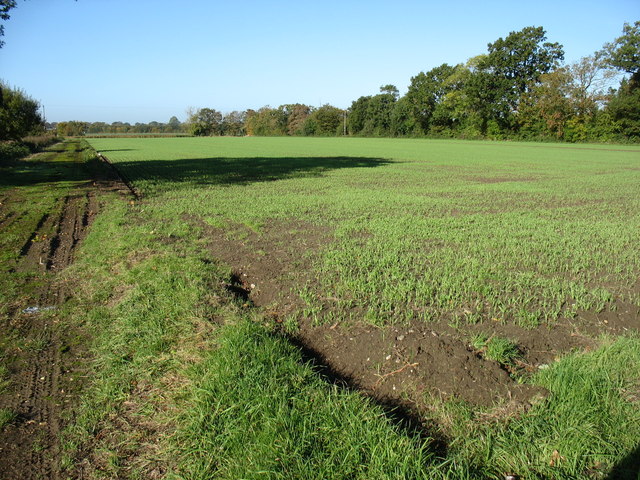
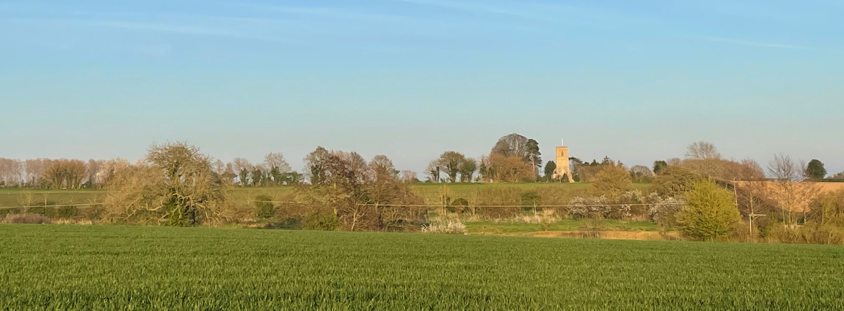
Goose Common is a picturesque area located in Norfolk, England. The common is a combination of downs and moorland, offering a diverse and unique landscape. With its rolling hills, open fields, and heathland, Goose Common showcases the natural beauty of Norfolk.

The area is known for its rich biodiversity and has become a haven for wildlife enthusiasts and nature lovers. Visitors can spot a variety of bird species, including the majestic goose, for which the common gets its name. Other common sightings include red grouse, skylarks, and plovers.

The downs of Goose Common feature extensive grasslands, making it a popular spot for picnicking and leisurely walks. The undulating terrain offers breathtaking views of the surrounding Norfolk countryside, making it an ideal destination for hikers and photographers.

Moorland areas in Goose Common are characterized by their open expanses of heather, interspersed with gorse and bracken. These habitats provide a unique environment for a range of plant and animal species, including rare orchids and insects.

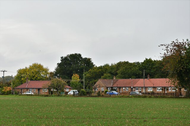
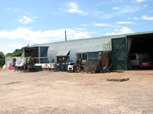
Goose Common is also home to a small, friendly community of residents who appreciate the tranquility and natural beauty of their surroundings. The area is dotted with charming cottages and farmhouses, adding to its rustic charm.

Overall, Goose Common is a hidden gem in Norfolk, offering visitors a chance to immerse themselves in the region's natural wonders. Whether it's exploring the downs, wandering through the moorland or spotting diverse wildlife, Goose Common is a must-visit destination for anyone seeking a truly authentic experience in Norfolk.

If you have any feedback on the listing, please let us know in the comments section below.
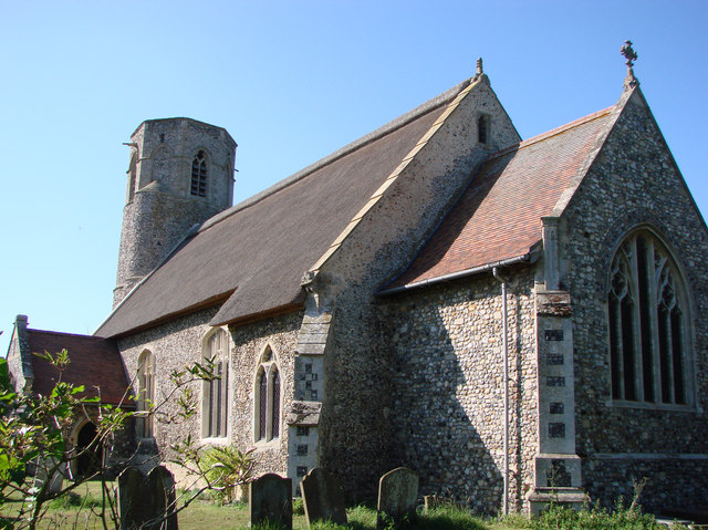
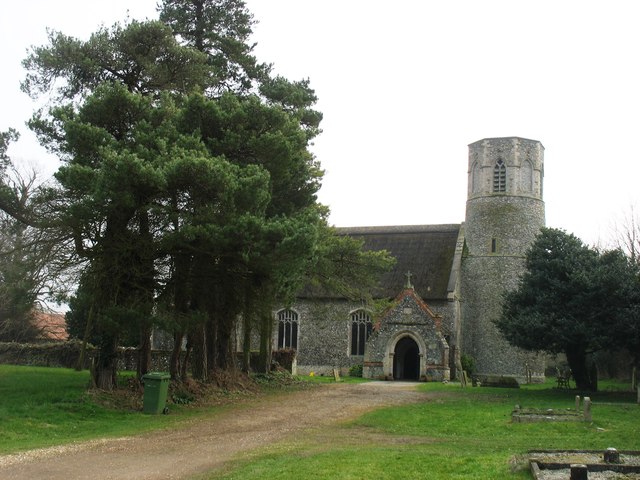
Goose Common Images

Images are sourced within 2km of 52.545493/0.94744377 or Grid Reference TL9998. Thanks to Geograph Open Source API. All images are credited.

The Scoulton Road From Little Ellingham.
The Scoulton Road
From Little Ellingham.
St. Peter's church, Rockland St. Peter The 13th c. tower is round with a stair turret leading up to the belfry stage, above which is an octagonal top. Just inside the nave, set in the wall, is half a stoup bowl, broken as a result of a fire in 1947 which gutted the church and destroyed almost everything in it. Consequently most of the furnishings and fittings are salvaged from other churches either redundant or unused. The screen, for example, is from Tottington St Andrew in the battle area and looks completely wrong here. The pulpit was from there too, but has been since reclaimed. At the time of writing the church has no pulpit. Because the original benches were burned, the seating is now individual chairs, giving the unfortunate appearance of a schoolroom. The large octagonal 14th c. font with quatrefoil tracery designs was undamaged in the fire.
St. Peter's church, Rockland St. Peter
The 13th c. tower is round with a stair turret leading up to the belfry stage, above which is an octagonal top. Just inside the nave, set in the wall, is half a stoup bowl, broken as a result of a fire in 1947 which gutted the church and destroyed almost everything in it. Consequently most of the furnishings and fittings are salvaged from other churches either redundant or unused. The screen, for example, is from Tottington St Andrew in the battle area and looks completely wrong here. The pulpit was from there too, but has been since reclaimed. At the time of writing the church has no pulpit. Because the original benches were burned, the seating is now individual chairs, giving the unfortunate appearance of a schoolroom. The large octagonal 14th c. font with quatrefoil tracery designs was undamaged in the fire.
Ordnance Survey Cut Mark This OS cut mark can be found on the north face of St Peter's Church. It marks a point 54.035m above mean sea level.
Ordnance Survey Cut Mark
This OS cut mark can be found on the north face of St Peter's Church. It marks a point 54.035m above mean sea level.
St Peter's church, Rockland I am relying on the Explorer (1:25,000) map to place this church about 20 metres inside <a href="https://www.geograph.org.uk/gridref/TL9897">TL9897</a>, although I note that earlier contributors (perhaps using the Landranger map?) have located it in <a href="https://www.geograph.org.uk/gridref/TL9997">TL9997</a>.
There is an interesting, and rare, octagonal top to the tower.
St Peter's church, Rockland
I am relying on the Explorer (1:25,000) map to place this church about 20 metres inside TL9897, although I note that earlier contributors (perhaps using the Landranger map?) have located it in TL9997. There is an interesting, and rare, octagonal top to the tower.
Rockland All Saints: Houses in Wayland Road
Postbox at Rockland St Peter NR17 1727. Royal Mail list this box as 'Chapel Street (D)'.
Postbox at Rockland St Peter
NR17 1727. Royal Mail list this box as 'Chapel Street (D)'.
Industrial shed by Bush Green
Industrial shed east of Hingham Road, Bush Green
St. Peter: the parish church of Little Ellingham This church dates back to the 13th century. Its interior was completely restored after a fire burnt out the nave and chancel in 1867.
St. Peter: the parish church of Little Ellingham
This church dates back to the 13th century. Its interior was completely restored after a fire burnt out the nave and chancel in 1867.
Farmland near Little Ellingham
St Peter's church, Little Ellingham On the Attleborough Road.
St Peter's church, Little Ellingham
On the Attleborough Road.
Hardstanding north of Attleborough Road Now used for farm storage, this hardstanding was part of one of the dispersed Accommodation sites (Site 7) associated with RAF Deopham Green.
Hardstanding north of Attleborough Road
Now used for farm storage, this hardstanding was part of one of the dispersed Accommodation sites (Site 7) associated with RAF Deopham Green.
Old RAF building It is situated on the edge of a hardstanding which formed part of Site 7, one of the dispersed sites associated with RAF Deopham Green when it was an active airfield during WW2 - one of only a few buildings that would seem to have survived on this site.
Old RAF building
It is situated on the edge of a hardstanding which formed part of Site 7, one of the dispersed sites associated with RAF Deopham Green when it was an active airfield during WW2 - one of only a few buildings that would seem to have survived on this site.
The remains of a shower block This is one of the few buildings surviving on Site 7, an Accommodation site associated with RAF Deopham Green when it was an active airfield during WW2. The old water tank is still in place > <a title="https://www.geograph.org.uk/photo/4096253" href="https://www.geograph.org.uk/photo/4096253">Link</a>.
The remains of a shower block
This is one of the few buildings surviving on Site 7, an Accommodation site associated with RAF Deopham Green when it was an active airfield during WW2. The old water tank is still in place > Link.
Old water tank The water tank in the tower of the shower block > <a title="https://www.geograph.org.uk/photo/4096251" href="https://www.geograph.org.uk/photo/4096251">Link</a> on Site 7 is still in place.
Old water tank
The water tank in the tower of the shower block > Link on Site 7 is still in place.
Nissen hut on the Industrial Estate at Stalland Common This is one of a handful of buildings which have survived on the former Communal site (Site 4) of RAF Deopham Green. It used to house the library and contains murals, some of which have survived in good condition > <a title="https://www.geograph.org.uk/photo/4096259" href="https://www.geograph.org.uk/photo/4096259">Link</a>.
Nissen hut on the Industrial Estate at Stalland Common
This is one of a handful of buildings which have survived on the former Communal site (Site 4) of RAF Deopham Green. It used to house the library and contains murals, some of which have survived in good condition > Link.
Nissen hut on the Industrial Estate at Stalland Common The original fireplace and old murals on the wall behind it have survived in good condition in this Nissen hut on the former Communal site of RAF Deopham Green >  <a title="https://www.geograph.org.uk/photo/4096256" href="https://www.geograph.org.uk/photo/4096256">Link</a>.
Nissen hut on the Industrial Estate at Stalland Common
The original fireplace and old murals on the wall behind it have survived in good condition in this Nissen hut on the former Communal site of RAF Deopham Green > Link.
Show me another place!

Goose Common is located at Grid Ref: TL9998 (Lat: 52.545493, Lng: 0.94744377)

Administrative County: Norfolk

District: Breckland

Police Authority: Norfolk

What 3 Words

///moving.failed.amounting. Near Hingham, Norfolk

Related Wikis

Anchor Corner

Anchor Corner is a village in Norfolk, England.

Little Ellingham

Little Ellingham is a village and civil parish in the English county of Norfolk. The village is 4.6 miles (7.4 km) north-west of Attleborough, 2 miles...

Rockland St Peter

Rockland St Peter is a village and former civil parish, now in the parish of Rocklands, in the Breckland district, in the county of Norfolk, England. Its...

Rockland All Saints

Rockland All Saints is a village and former civil parish, now in the parish of Rocklands, in the Breckland district, in the county of Norfolk, England...

Nearby Amenities

Located within 500m of 52.545493,0.94744377
Barrier: kissing_gate
Bicycle: no
Foot: yes
Lat/Long: 52.5434781/0.9513875
Barrier: kissing_gate
Bicycle: no
Foot: yes
Lat/Long: 52.5488297/0.9461374
Barrier: kissing_gate
Bicycle: no
Foot: yes
Lat/Long: 52.5454041/0.9482222
Barrier: kissing_gate
Bicycle: no
Foot: yes
Lat/Long: 52.5444618/0.9503227
Fixme: incomplete
Lat/Long: 52.5447101/0.9483486
Barrier: kissing_gate
Bicycle: no
Foot: yes
Lat/Long: 52.5498962/0.9471236
Fixme: incomplete
Lat/Long: 52.5442713/0.9504837
Fixme: incomplete
Lat/Long: 52.547377/0.9449771
Fixme: incomplete
Lat/Long: 52.5452027/0.9455591
Fixme: incomplete
Lat/Long: 52.5443745/0.9477977
Fixme: incomplete
Lat/Long: 52.546053/0.9438318
Power: pole
Lat/Long: 52.5471075/0.946925
Power: pole
Lat/Long: 52.5480613/0.9470874
Power: pole
Lat/Long: 52.5488043/0.9462035
Power: pole
Lat/Long: 52.5488344/0.9471182
Power: pole
Lat/Long: 52.5496826/0.9470853
Power: pole
Lat/Long: 52.5497041/0.9473461
Power: pole
Lat/Long: 52.5497775/0.9468446
Power: pole
Lat/Long: 52.5498412/0.9468982
Bench
Backrest: yes
Material: plastic
Seats: 3
Lat/Long: 52.5472042/0.9458327
Power: pole
Lat/Long: 52.5421525/0.9508431
Power: pole
Lat/Long: 52.5438155/0.9495342
Power: pole
Lat/Long: 52.5453374/0.9483419
Power: pole
Lat/Long: 52.5462247/0.9476499
Power: pole
Lat/Long: 52.5467483/0.947198
Power: pole
Lat/Long: 52.543862/0.941458
Power: pole
Lat/Long: 52.5446026/0.9420066
Power: pole
Lat/Long: 52.5454247/0.9426288
Power: pole
Lat/Long: 52.5461456/0.943522
Power: pole
Lat/Long: 52.5470085/0.944387
Power: pole
Lat/Long: 52.5479105/0.9453043
The data included in this document is from www.openstreetmap.org. The data is made available under ODbL.

Have you been to Goose Common?

Leave your review of Goose Common below (or comments, questions and feedback).