The Grove

Downs, Moorland in Essex Rochford

England

The Grove

War Department Boundary Marker, Foulness Located adjacent to the Foulness Heritage Centre which is open the first Sunday of the month, April to October.

Milestone Society ID No. EX_WDFOUL02em
War Department Boundary Marker, Foulness Credit: Paul Jones

The Grove is a picturesque area located in Essex, England, encompassing the Downs and Moorland regions. Spanning over a vast expanse of land, The Grove offers visitors an array of natural beauty and recreational opportunities.

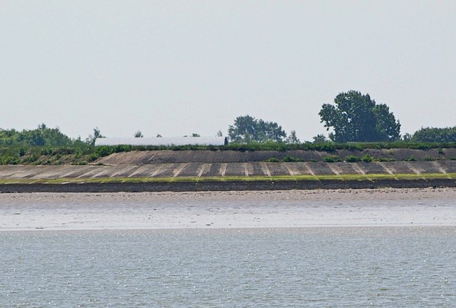
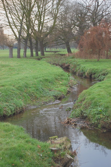
The Downs, characterized by rolling hills and expansive meadows, provide a tranquil setting for various outdoor activities. Hikers and nature enthusiasts flock to this area to explore the numerous walking trails that wind through the lush greenery. The Downs also offer stunning panoramic views of the surrounding countryside, making it a popular spot for photographers and artists.

Adjacent to the Downs lies the Moorland, a unique ecosystem characterized by wide open spaces and heathland vegetation. This area is home to a diverse range of plant and animal species, providing a haven for nature lovers and wildlife enthusiasts. Birdwatchers can catch glimpses of rare and migratory species that inhabit the Moorland throughout the year.

In addition to its natural wonders, The Grove boasts a range of amenities for visitors. The area features well-maintained picnic areas, perfect for enjoying a leisurely lunch amidst the beautiful surroundings. There are also facilities for camping and caravaning, allowing visitors to immerse themselves in the tranquility of the countryside.

Overall, The Grove, Essex (Downs, Moorland) is a stunning destination for those seeking a peaceful escape from the hustle and bustle of city life. With its breathtaking landscapes, diverse wildlife, and recreational opportunities, it offers a memorable experience for all who visit.

If you have any feedback on the listing, please let us know in the comments section below.
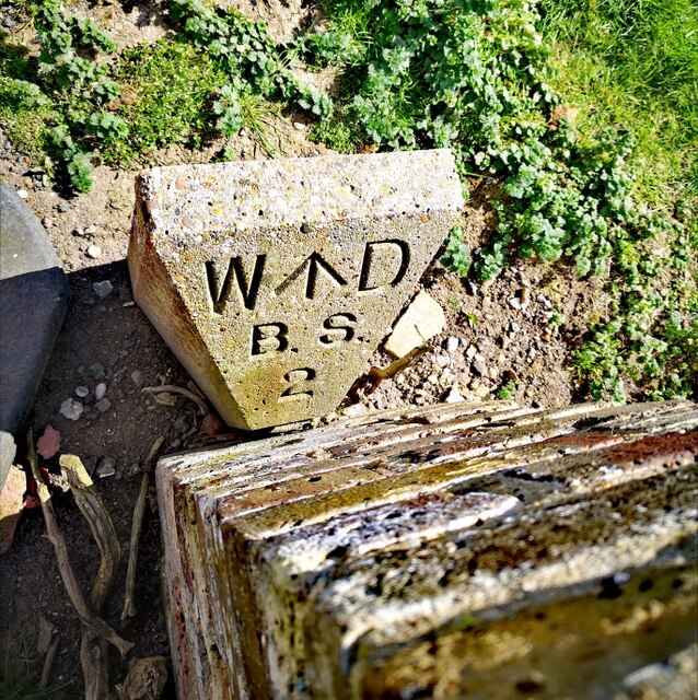
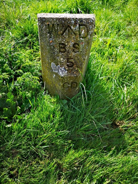
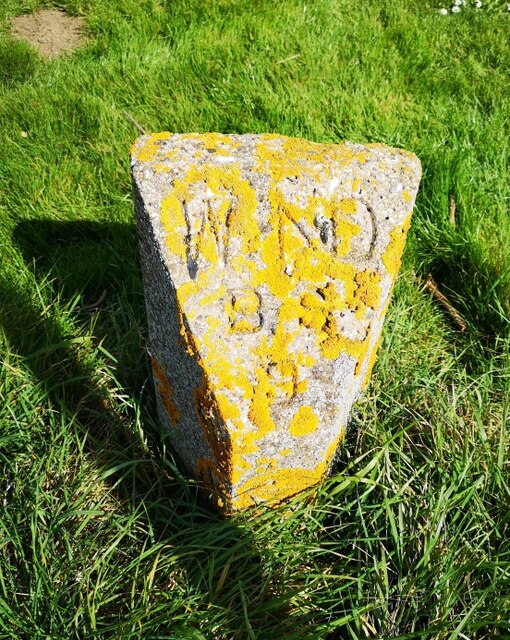
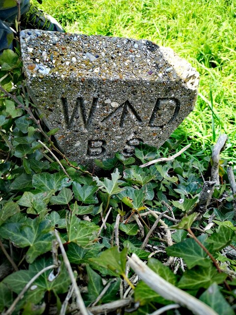
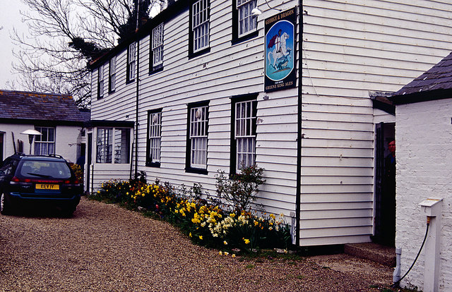
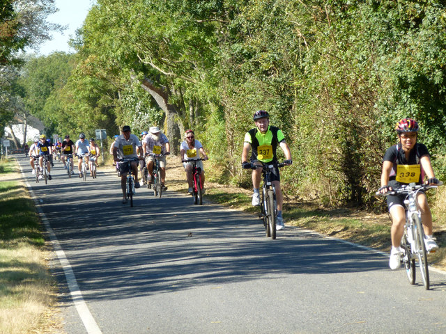
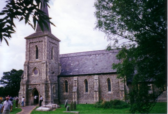
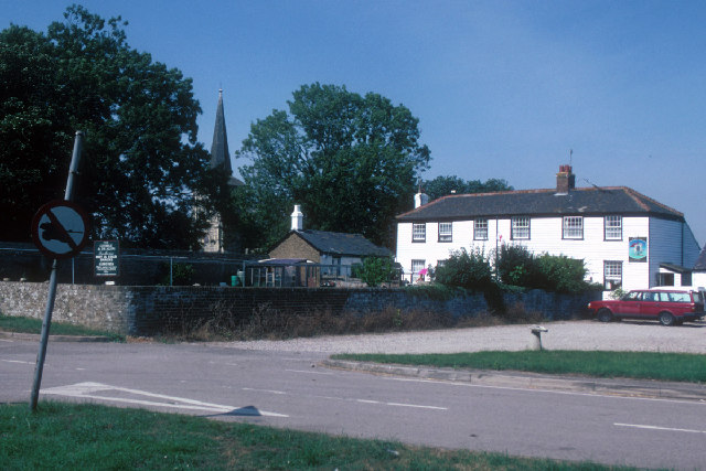
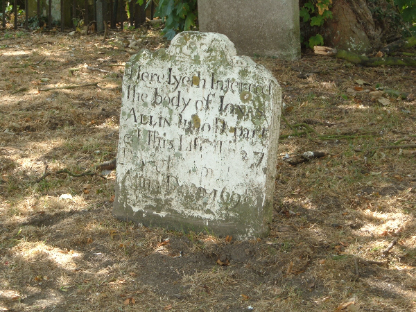
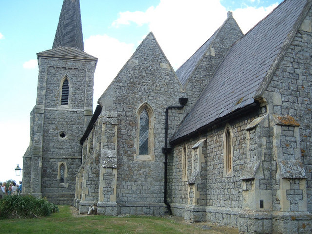
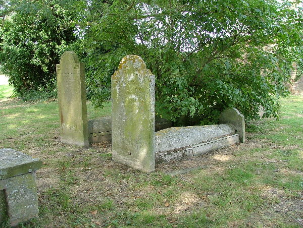
The Grove Images

Images are sourced within 2km of 51.599642/0.88439215 or Grid Reference TQ9992. Thanks to Geograph Open Source API. All images are credited.

War Department Boundary Marker, Foulness Located adjacent to the Foulness Heritage Centre which is open the first Sunday of the month, April to October.

Milestone Society ID No. EX_WDFOUL02em
War Department Boundary Marker, Foulness
Located adjacent to the Foulness Heritage Centre which is open the first Sunday of the month, April to October. Milestone Society ID No. EX_WDFOUL02em
War Department Boundary Marker, Foulness War Department boundary marker located close to the Heritage Centre. Foulness is open to the public on the first Sunday of the month, April to October.

Milestone Society ID No. EX_WDFOUL05em
War Department Boundary Marker, Foulness
War Department boundary marker located close to the Heritage Centre. Foulness is open to the public on the first Sunday of the month, April to October. Milestone Society ID No. EX_WDFOUL05em
War Department Boundary Marker, Foulness War Department boundary marker located close to the Heritage Centre. Foulness is open to the public on the first Sunday of the month, April to October.

Milestone Society ID No. EX_WDFOUL09em
War Department Boundary Marker, Foulness
War Department boundary marker located close to the Heritage Centre. Foulness is open to the public on the first Sunday of the month, April to October. Milestone Society ID No. EX_WDFOUL09em
War Department Boundary Marker, Foulness War Department boundary marker located close to the Heritage Centre and just outside St Mary & All Saints' Church. Foulness is open to the public on the first Sunday of the month, April to October.

Milestone Society ID No. EX_WDFOUL01em
War Department Boundary Marker, Foulness
War Department boundary marker located close to the Heritage Centre and just outside St Mary & All Saints' Church. Foulness is open to the public on the first Sunday of the month, April to October. Milestone Society ID No. EX_WDFOUL01em
K6, Bridge Road, Foulness Decommissioned K6 telephone box, now used, as they are so often, to house a defibrillator.
K6, Bridge Road, Foulness
Decommissioned K6 telephone box, now used, as they are so often, to house a defibrillator.
St Mary the Virgin, Churchend, Foulness Island Closed since 2010 and showing the first small signs of disrepair
St Mary the Virgin, Churchend, Foulness Island
Closed since 2010 and showing the first small signs of disrepair
Unusual view of St Mary the Virgin, Foulness As seen from Foulness Heritage Centre.
Unusual view of St Mary the Virgin, Foulness
As seen from Foulness Heritage Centre.
Foulness Church The Church of St Mary the Virgin on Foulness Island was consecrated in 1853 when it replaced an older building that had been in a poor state of repair. It is now grade II listed. At the time of this photograph the church and churchyard was on the only land on the island that was not the property of the Ministry of Defence. Faced with a declining population and the restricted access to the public the church closed in 2010.
Foulness Church
The Church of St Mary the Virgin on Foulness Island was consecrated in 1853 when it replaced an older building that had been in a poor state of repair. It is now grade II listed. At the time of this photograph the church and churchyard was on the only land on the island that was not the property of the Ministry of Defence. Faced with a declining population and the restricted access to the public the church closed in 2010.
The George and Dragon, Foulness Island It would be possible to draw up a list of pubs in Great Britain that require some effort to visit. Such a list might include the Marisco Tavern on Lundy, the Applecross Inn in the Scottish Highlands, and the Ty Coch Inn at Porthdinllaen - but (until its closure in 2007) the George and Dragon at Churchend on Foulness Island was perhaps the most bizarre. Intending customers who were not resident on the island had to contact the landlord 24 hours in advance giving their names and vehicle details. On arrival at the island, they would be stopped at a checkpoint and issued with pre-printed passes, complete with lanyards, and directed to drive straight to the pub without stopping - and to return the same way at the end of their visit. At the pub the landlord would check the credentials before serving drinks. The reason for all this palaver lay in the fact that the island was (and still is) owned by the Ministry of Defence and managed by defence contractors Qinetiq for testing munitions. Whether it made any real contribution to security is probably debatable but it certainly made life difficult for the publican.
The George and Dragon, Foulness Island
It would be possible to draw up a list of pubs in Great Britain that require some effort to visit. Such a list might include the Marisco Tavern on Lundy, the Applecross Inn in the Scottish Highlands, and the Ty Coch Inn at Porthdinllaen - but (until its closure in 2007) the George and Dragon at Churchend on Foulness Island was perhaps the most bizarre. Intending customers who were not resident on the island had to contact the landlord 24 hours in advance giving their names and vehicle details. On arrival at the island, they would be stopped at a checkpoint and issued with pre-printed passes, complete with lanyards, and directed to drive straight to the pub without stopping - and to return the same way at the end of their visit. At the pub the landlord would check the credentials before serving drinks. The reason for all this palaver lay in the fact that the island was (and still is) owned by the Ministry of Defence and managed by defence contractors Qinetiq for testing munitions. Whether it made any real contribution to security is probably debatable but it certainly made life difficult for the publican.
Road to Courtsend This is part of the road between Churchend and Courtsend on Foulness Island, looking back towards Churchend.
Road to Courtsend
This is part of the road between Churchend and Courtsend on Foulness Island, looking back towards Churchend.
Foulness Island: St Mary the Virgin Church Access to this island is severely restricted, and has been since, I believe, the Second World War. This photo was taken when there was a Flower Show on the Island, but even then you felt that you were being watched.
Foulness Island: St Mary the Virgin Church
Access to this island is severely restricted, and has been since, I believe, the Second World War. This photo was taken when there was a Flower Show on the Island, but even then you felt that you were being watched.
George and Dragon Pub, Foulness, Essex. Pub on restricted island of Foulness. Beside St. Mary the Virgin Churchyard. Prizefights were once held in the walled garden.
George and Dragon Pub, Foulness, Essex.
Pub on restricted island of Foulness. Beside St. Mary the Virgin Churchyard. Prizefights were once held in the walled garden.
High Corner Foulness Island This is the foreshore and sea wall of Foulness Island at High Corner and the River Crouch. The island is a sensitive military site where artillery is tested.
High Corner Foulness Island
This is the foreshore and sea wall of Foulness Island at High Corner and the River Crouch. The island is a sensitive military site where artillery is tested.
Foulness Island: St Mary the Virgin gravestone One of many ancient gravestones in the mysterious churchyard at St Mary's, Churchend, on Foulness Island.  This is the final resting place of Ionas Allin 'who departed this life in 1769'.
Foulness Island: St Mary the Virgin gravestone
One of many ancient gravestones in the mysterious churchyard at St Mary's, Churchend, on Foulness Island. This is the final resting place of Ionas Allin 'who departed this life in 1769'.
Foulness Island: St Mary the Virgin Taken on the MOD controlled island of Foulness in Essex. Access for the general public is restricted. This is the East Wing of the church. The building depicted here was re-built in 1848 after the original church began to crumble.
Foulness Island: St Mary the Virgin
Taken on the MOD controlled island of Foulness in Essex. Access for the general public is restricted. This is the East Wing of the church. The building depicted here was re-built in 1848 after the original church began to crumble.
Foulness Island: St Mary the Virgin Another interesting shot of some old graves outside the church. Many of the graves pre-date the existing building, going back hundreds of years to when habitation on the island was much smaller.
Foulness Island: St Mary the Virgin
Another interesting shot of some old graves outside the church. Many of the graves pre-date the existing building, going back hundreds of years to when habitation on the island was much smaller.
Foulness Island: St Mary the Virgin, Churchend Stunning shot of this beautiful and seldom-visited church on the restricted MOD controlled island of Foulness. This shot looks east towards the side of the church showing the Victorian stonework. At time of taking the photograph my friend and I were being attacked by horseflies which were most prevalent on the island that day.
Foulness Island: St Mary the Virgin, Churchend
Stunning shot of this beautiful and seldom-visited church on the restricted MOD controlled island of Foulness. This shot looks east towards the side of the church showing the Victorian stonework. At time of taking the photograph my friend and I were being attacked by horseflies which were most prevalent on the island that day.
Foulness Island: Heritage Centre, Churchend This pretty cottage which was once the island's primary school, has now become the Heritage Centre. Some fascinating displays, photographs and architectural finds can be seen inside the old school house which can be viewed by appointment. In high summer a tractor ride departs from this area to take visitors to the village fete on an island tour.
Foulness Island: Heritage Centre, Churchend
This pretty cottage which was once the island's primary school, has now become the Heritage Centre. Some fascinating displays, photographs and architectural finds can be seen inside the old school house which can be viewed by appointment. In high summer a tractor ride departs from this area to take visitors to the village fete on an island tour.
Show me another place!

The Grove is located at Grid Ref: TQ9992 (Lat: 51.599642, Lng: 0.88439215)

Administrative County: Essex

District: Rochford

Police Authority: Essex

What 3 Words

///windmills.sleepy.port. Near Burnham-on-Crouch, Essex

Nearby Locations

The Grove

Related Wikis

Saint Mary the Virgin, Foulness Island

Saint Mary the Virgin is a parish of the Church of England on Foulness Island, in Essex, England. Before the 15th century, the island of Foulness was divided...

Foulness Island

Foulness Island () is a closed island on the east coast of Essex in England, which is separated from the mainland by narrow creeks. In the 2001 census...

River Roach

The River Roach is a river that flows entirely through the English county of Essex. It is one of four main streams that originate in the Rayleigh Hills...

Wallasea Wetlands

Wallasea Wetlands is a reclaimed wetlands area located in Essex, England. It has been created as part of a government-funded wetlands scheme to halt the...

Nearby Amenities

Located within 500m of 51.599642,0.88439215
Bus Stop
Church End
Bus: yes
Naptan AtcoCode: 15001101412
Naptan Bearing: SW
Naptan CommonName: Church End
Naptan Indicator: SW-bound
Naptan Landmark: Church End
Naptan NaptanCode: esxdjtwj
Naptan PlusbusZoneRef: STHCENT
Naptan Street: Bridge Road
Naptan Verified: no
Public Transport: platform
Source: naptan_import
Lat/Long: 51.5978926/0.8903221
Bus Stop
Church End
Bus: yes
Naptan AtcoCode: 150011014Y2
Naptan Bearing: NE
Naptan BusStopType: CUS
Naptan CommonName: Church End
Naptan Indicator: NE-bound
Naptan Landmark: Church End
Naptan NaptanCode: esxgpdma
Naptan PlusbusZoneRef: STHCENT
Naptan Street: Bridge Road
Naptan Verified: no
Public Transport: platform
Source: naptan_import
Lat/Long: 51.5979213/0.8902518
Telephone
Defibrillator
Booth: K6
Covered: booth
Defibrillator Location: inside old red phone box in Churchend
Emergency: defibrillator
Man Made: telephone_box
Ref GB The Circuit: C0D51F88-0742-4102-AF85-AEA5013694AA
Lat/Long: 51.5998619/0.891306
The data included in this document is from www.openstreetmap.org. The data is made available under ODbL.

Have you been to The Grove?

Leave your review of The Grove below (or comments, questions and feedback).