Barney Common
Downs, Moorland in Norfolk North Norfolk
England
Barney Common

Barney Common is a picturesque area located in Norfolk, England, known for its stunning downs and moorland landscapes. Situated in the heart of the Norfolk Broads, this rural haven offers visitors a tranquil escape from the hustle and bustle of city life.
Covering an expansive area of approximately 200 hectares, Barney Common is a diverse ecosystem that boasts a unique blend of grassland and heathland habitats. The common is characterized by its gently rolling hills, scattered with vibrant wildflowers, heather, and gorse. These habitats provide a vital home for a wide range of flora and fauna, making it a popular destination for nature enthusiasts and wildlife lovers.
The area offers several walking trails, allowing visitors to immerse themselves in the natural beauty of Barney Common. These paths wind through the open countryside, offering stunning panoramic views of the surrounding landscape. Birdwatchers will delight in the numerous species that call this area home, including skylarks, stonechats, and various species of warblers.
In addition to its natural beauty, Barney Common is also steeped in history. The remains of ancient burial mounds and barrows can be found scattered across the common, providing a glimpse into the area's past. Archaeological discoveries suggest that these mounds date back to the Bronze Age, making Barney Common a site of great historical significance.
Overall, Barney Common is a hidden gem in Norfolk, offering visitors a peaceful retreat in the midst of the beautiful Norfolk Broads. Whether exploring the diverse habitats, enjoying the breathtaking views, or delving into its fascinating history, Barney Common is a must-visit destination for those seeking a connection with nature and a glimpse into the past.
If you have any feedback on the listing, please let us know in the comments section below.
Barney Common Images
Images are sourced within 2km of 52.840358/0.96582489 or Grid Reference TF9931. Thanks to Geograph Open Source API. All images are credited.


Barney Common is located at Grid Ref: TF9931 (Lat: 52.840358, Lng: 0.96582489)
Administrative County: Norfolk
District: North Norfolk
Police Authority: Norfolk
What 3 Words
///launcher.pranced.education. Near Briston, Norfolk
Nearby Locations
Related Wikis

Fulmodeston
Fulmodeston or Fulmodeston-cum-Croxton is a village and civil parish in the English county of Norfolk. The village is located 4 miles (6.4 km) south-east...

Swanton Novers Woods
Swanton Novers Woods is an 83-hectare (210-acre) biological Site of Special Scientific Interest east of Fakenham in Norfolk. The site is composed of Swanton...
Barney, Norfolk
Barney is a village and former civil parish, now in the parish of Fulmodeston, in the North Norfolk district, in the county of Norfolk, England. Settled...
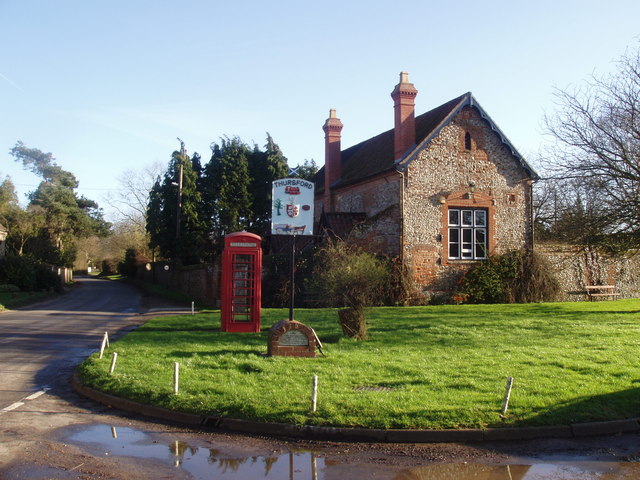
Thursford
Thursford is a village and civil parish in the county of Norfolk, eastern England. The village is 16.3 miles southwest of Cromer, 24.5 miles northwest...
Nearby Amenities
Located within 500m of 52.840358,0.96582489Have you been to Barney Common?
Leave your review of Barney Common below (or comments, questions and feedback).