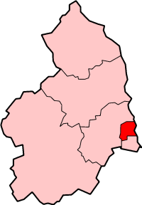
Choppington

Civil Parish in Northumberland

England

Choppington

River Wansbeck Country Park Caravan site and cafe beyond car park.
River Wansbeck Country Park Credit: Les Hull

Choppington is a civil parish located in the county of Northumberland, in the northeast region of England. Situated approximately 15 miles north of Newcastle upon Tyne, it is a small village with a population of around 5,000 residents.

The village is known for its rich coal mining history, with deep mining operations dating back to the 19th century. Choppington Colliery, once a significant contributor to the local economy, employed many villagers until its closure in the 1960s. Today, remnants of the mining industry can still be seen in the form of old pit buildings and structures scattered throughout the area.

Despite its industrial past, Choppington is surrounded by stunning natural beauty. The village is nestled within the picturesque Northumberland countryside, offering residents and visitors alike the opportunity to explore the nearby countryside and enjoy tranquil walks along the numerous footpaths.

Choppington offers a range of amenities to its residents, including a primary school, a local convenience store, and a community center that hosts various events and activities. The village also benefits from good transport links, with regular bus services connecting it to nearby towns and cities.

Overall, Choppington is a charming village with a strong sense of community and a rich industrial heritage. Its location in the heart of Northumberland's beautiful countryside makes it an attractive place to live for those seeking a peaceful and picturesque setting.

If you have any feedback on the listing, please let us know in the comments section below.
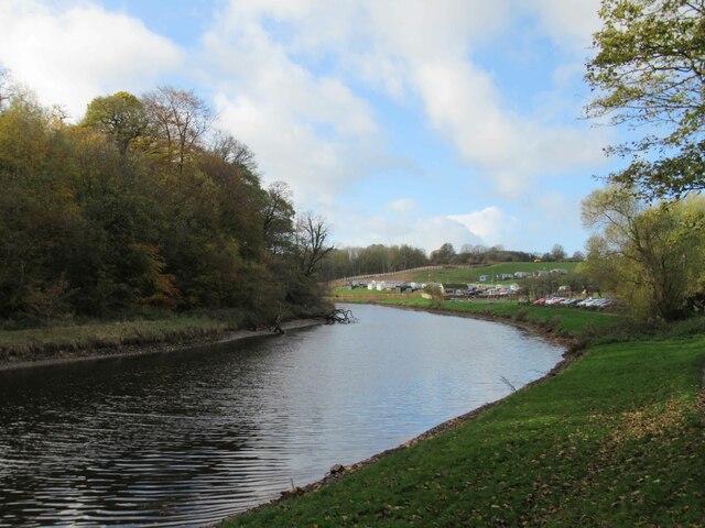
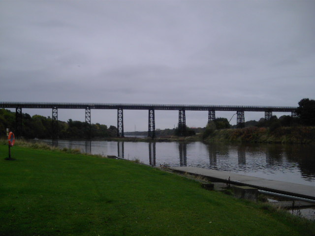
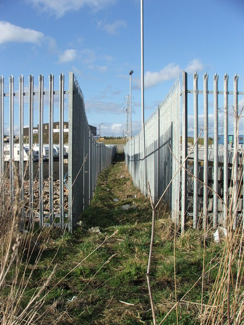
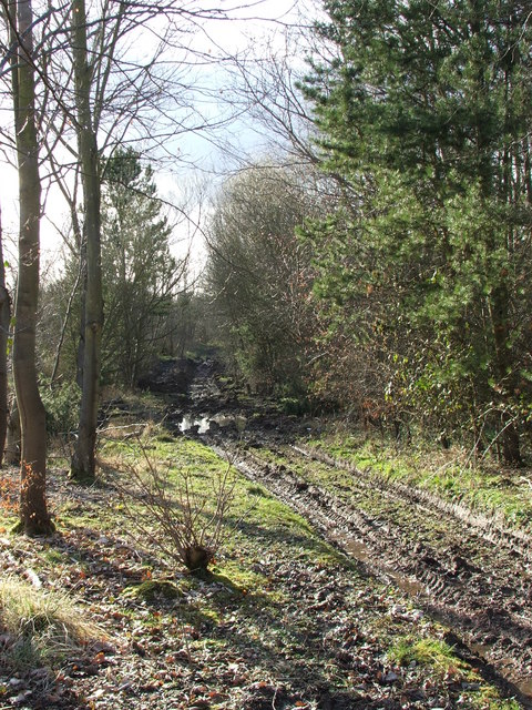
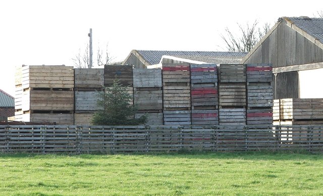
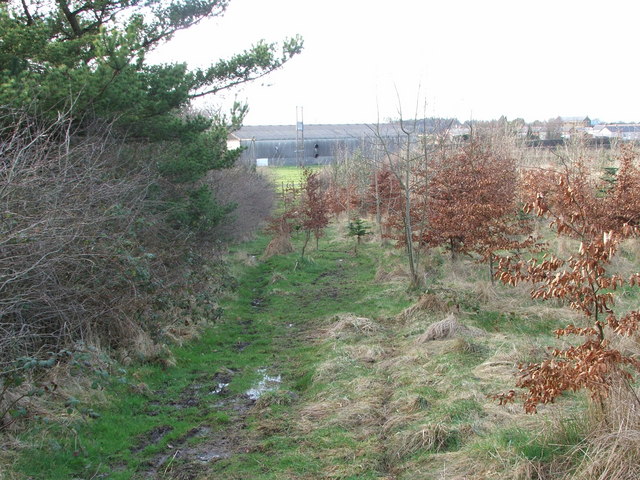
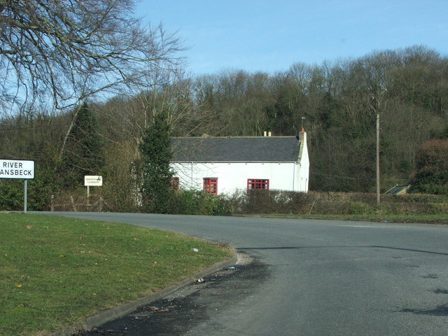
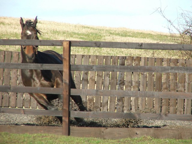
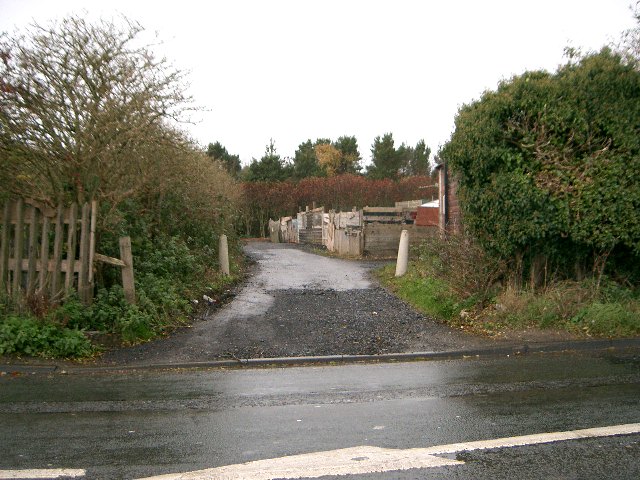
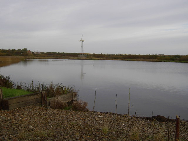
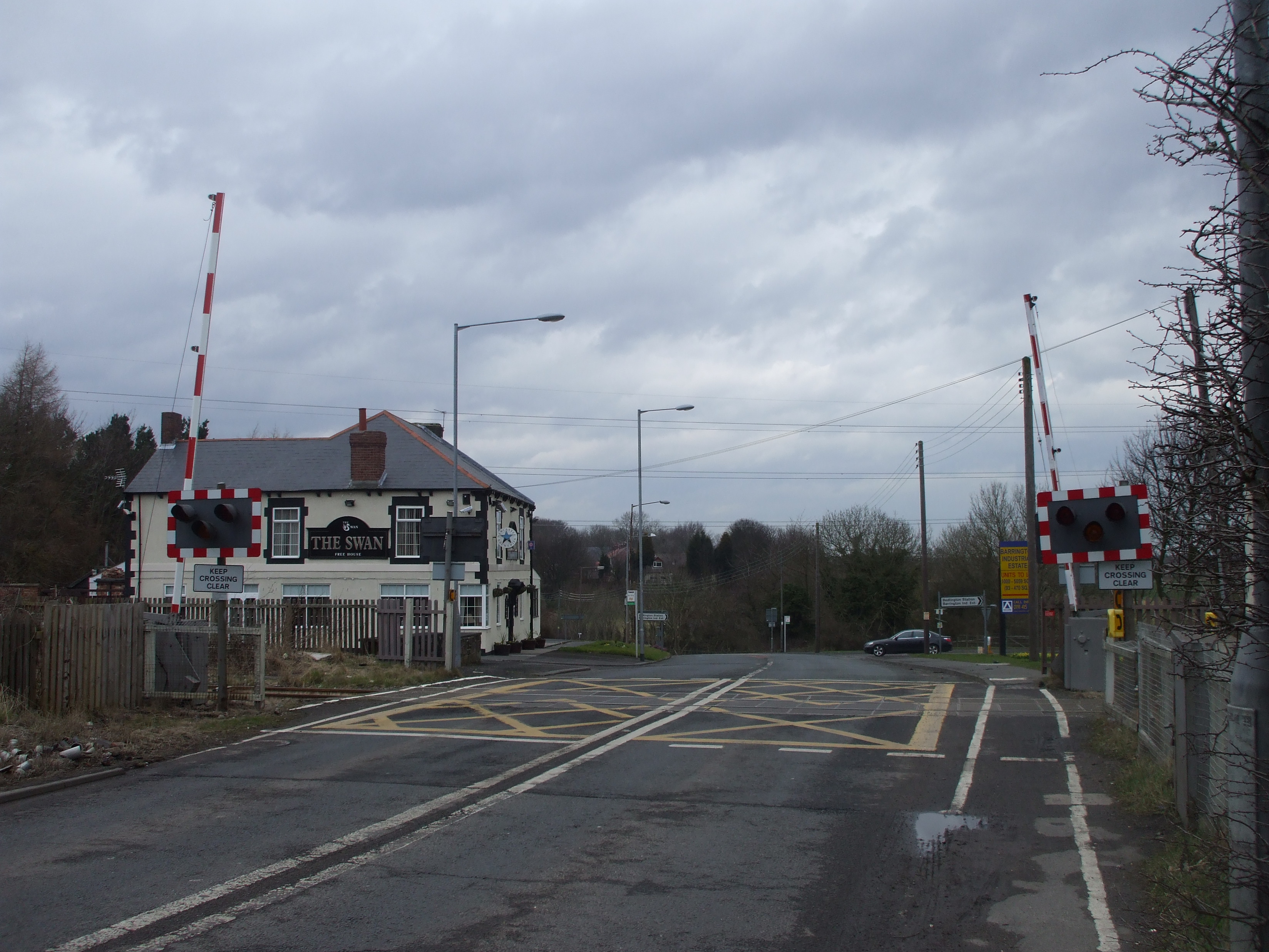
Choppington Images

Images are sourced within 2km of 55.157428/-1.596863 or Grid Reference NZ2584. Thanks to Geograph Open Source API. All images are credited.

River Wansbeck Country Park Caravan site and cafe beyond car park.
River Wansbeck Country Park
Caravan site and cafe beyond car park.
River Wansbeck Country Park
Canoeists on the River Wansbeck I'm taking a photo of two canoeist one videoing the other.
Canoeists on the River Wansbeck
I'm taking a photo of two canoeist one videoing the other.
A196 Road Bridge over the River Wansbeck
Old Folks Home, Stakeford Typical early 90's sheltered housing.
Old Folks Home, Stakeford
Typical early 90's sheltered housing.
River Wansbeck Towards Riverside Park Scenic unspoilt riverbanks.
River Wansbeck Towards Riverside Park
Scenic unspoilt riverbanks.
Riverside Park Leafy footpaths near Wansbeck.
Riverside Park
Leafy footpaths near Wansbeck.
The Black Bridge Known locally as The Black Bridge, this impressive Victorian span was built to take colliery wagons to and from Woodhorn Pit.
The Black Bridge
Known locally as The Black Bridge, this impressive Victorian span was built to take colliery wagons to and from Woodhorn Pit.
The Black Bridge 2 From a distance.
The Black Bridge 2
From a distance.
Industrial Footpath A footpath from Barrington Road through an industrial estate. Hardly a picturesque stroll.
Industrial Footpath
A footpath from Barrington Road through an industrial estate. Hardly a picturesque stroll.
Footpath Renovations Heavy machinery has ploughed up this footpath during renovations.
Footpath Renovations
Heavy machinery has ploughed up this footpath during renovations.
North Choppington Farm storage.
North Choppington
Farm storage.
Footpath A series of footpaths on the site of Choppington Colliery.
Footpath
A series of footpaths on the site of Choppington Colliery.
The 'White House' Situated at the bottom of Sheepwash Bank before the bridge over the River Wansbeck.
The 'White House'
Situated at the bottom of Sheepwash Bank before the bridge over the River Wansbeck.
Spring in her Step. A mare racing around her paddock full of the joys of Spring.
Spring in her Step.
A mare racing around her paddock full of the joys of Spring.
Riverside Park Riverside Park Wansbeck
Riverside Park
Riverside Park Wansbeck
Allotments Allotment gardens at Choppington
Allotments
Allotment gardens at Choppington
Fishing  Lake Fishing Lake at Earth Balance Bomarsund, Stakeford.
Fishing Lake
Fishing Lake at Earth Balance Bomarsund, Stakeford.
Show me another place!

Choppington is located at Grid Ref: NZ2584 (Lat: 55.157428, Lng: -1.596863)

Unitary Authority: Northumberland

Police Authority: Northumbria

What 3 Words

///underline.caravans.darkest. Near Choppington, Northumberland

Related Wikis

Northumberland Coalfield

The Northumberland Coalfield is a coalfield in north-east England. It is continuous with the Durham Coalfield to its south. It extends from Shilbottle...

Guide Post

Guide Post is a village in South East Northumberland, England, about 17 miles (27 km) north of Newcastle upon Tyne. It lies south of the River Wansbeck...

Sheepwash, Northumberland

Sheepwash is a village and former civil parish, now in the parish of Ashington, in the county of Northumberland, England. It is adjacent to Stakeford and...

Stakeford

Stakeford is a large village in south east Northumberland, England. Its about 17 miles (27 km) north of Newcastle upon Tyne. It lies south of the River...

Choppington railway station

Choppington railway station served the village of Choppington, Northumberland, England from 1858 to 1964 on the Blyth and Tyne Railway. == History == The...

Choppington

Choppington is a large village and civil parish in Northumberland, England. It is situated 5 miles to the south-east of Morpeth, and north of Bedlington...

Bomarsund, Northumberland

Bomarsund is a village in Northumberland, in England. It is situated to the north of Bedlington, and just south of Stakeford. The village grew around a...

Wansbeck District

Wansbeck was a local government district in south-east Northumberland, England. Its main population centres were Ashington, Bedlington and Newbiggin-by...

Nearby Amenities

Located within 500m of 55.157428,-1.596863
Crossing
Crossing: zebra
Lat/Long: 55.1587007/-1.6041274
Turning Circle
Lat/Long: 55.1612379/-1.5975502
Noexit: yes
Lat/Long: 55.158727/-1.6015978
Noexit: yes
Lat/Long: 55.1608125/-1.5936713
Noexit: yes
Lat/Long: 55.1607185/-1.594258
Noexit: yes
Lat/Long: 55.1598736/-1.5981737
Noexit: yes
Lat/Long: 55.1596519/-1.5978169
Noexit: yes
Lat/Long: 55.1597322/-1.5972343
Noexit: yes
Lat/Long: 55.1605799/-1.5966435
Noexit: yes
Lat/Long: 55.1598591/-1.5963591
Noexit: yes
Lat/Long: 55.1604413/-1.5955091
Noexit: yes
Lat/Long: 55.1607864/-1.5950549
Noexit: yes
Lat/Long: 55.160665/-1.5950976
Post Box
Collection Times: Mo-Fr 09:00, Sa 07:00
Postal Code: NE62 5HD
Ref: NE62 671
Royal Cypher: EIIR
Royal Cypher Wikidata: Q33102113
Lat/Long: 55.1605641/-1.5929483
Noexit: yes
Lat/Long: 55.1533784/-1.5960275
Noexit: yes
Lat/Long: 55.160657/-1.5919146
Noexit: yes
Lat/Long: 55.1588205/-1.6037395
Noexit: yes
Lat/Long: 55.1609791/-1.5960022
Noexit: yes
Lat/Long: 55.1611758/-1.5946328
Noexit: yes
Lat/Long: 55.1612943/-1.5939936
Noexit: yes
Lat/Long: 55.1610308/-1.5950619
Post Box
Brand: Royal Mail
Brand Wikidata: Q638098
Collection Times: Mo-Fr 16:15; Sa 11:15
Operator: Royal Mail
Operator Wikidata: Q638098
Post Box Type: pillar
Ref: NE62 82
Royal Cypher: EIIR
Royal Cypher Wikidata: Q33102113
Lat/Long: 55.159932/-1.6017561
Pharmacy
Boots
Addr City: Guide Post
Addr County: Northumberland
Addr Housenumber: 17
Addr Postcode: NE62 5DA
Addr Street: The Square
Brand Wikidata: Q6123139
Dispensing: no
Fhrs Id: 288574
Lat/Long: 55.1598559/-1.6015127
Post Office
Choppington Post Office
Addr City: Choppington
Addr Housenumber: 16
Addr Postcode: NE62 5DA
Addr Street: The Square
Opening Hours: Mo-Fr 08:30-17:30; Sa 08:30-13:30
Ref Pol Id: 3222
Source: OS_opendata_streetview
Lat/Long: 55.1598354/-1.6016957
Noexit: yes
Lat/Long: 55.1579367/-1.602824
Noexit: yes
Lat/Long: 55.1580491/-1.6022954
Noexit: yes
Lat/Long: 55.1591022/-1.6023791
Give Way
Direction: backward
Lat/Long: 55.1595646/-1.6002435
Bus Stop
Lat/Long: 55.1597089/-1.6033118
Building: residential
Lat/Long: 55.161022/-1.5947234
Man Made: tower
Tower Type: communication
Lat/Long: 55.1586936/-1.6004275
Power: pole
Source: Bing
Lat/Long: 55.1550095/-1.5905792
Power: pole
Source: Bing
Lat/Long: 55.1557162/-1.5900179
Power: pole
Source: Bing
Lat/Long: 55.1564175/-1.5894609
Power: pole
Source: Bing
Lat/Long: 55.1578148/-1.5893023
Power: pole
Source: Bing
Lat/Long: 55.1578242/-1.5893835
Noexit: yes
Lat/Long: 55.1617962/-1.5960148
Atm
Lat/Long: 55.1589479/-1.604022
Bus Stop
Bench: yes
Bus: yes
Naptan AtcoCode: 3100Z254850
Naptan NaptanCode: nldatmjm
Public Transport: platform
Shelter: yes
Lat/Long: 55.1597089/-1.6020543
Crossing
Crossing: zebra
Crossing Island: no
Crossing Ref: zebra
Tactile Paving: yes
Lat/Long: 55.1581884/-1.603684
Dicksons
Shop: bakery
Lat/Long: 55.1597891/-1.6017672
Bus Stop
Bus: yes
Naptan AtcoCode: 3100Z253849
Naptan NaptanCode: nldawdtd
Public Transport: platform
Shelter: yes
Lat/Long: 55.1579297/-1.6037071
Give Way
Direction: forward
Lat/Long: 55.1586365/-1.6022972
Give Way
Direction: forward
Lat/Long: 55.1600651/-1.6017071
Give Way
Direction: forward
Lat/Long: 55.161587/-1.5944038
Give Way
Direction: forward
Lat/Long: 55.1612822/-1.595896
Give Way
Direction: backward
Lat/Long: 55.1601212/-1.6014321
Give Way
Direction: forward
Lat/Long: 55.1594336/-1.6033627
Give Way
Direction: forward
Lat/Long: 55.1595202/-1.6031592
Give Way
Direction: forward
Lat/Long: 55.1594248/-1.6001236
Give Way
Direction: forward
Lat/Long: 55.159797/-1.6007123
Noexit: yes
Lat/Long: 55.1617437/-1.5958007
Noexit: yes
Lat/Long: 55.1597864/-1.6027494
Noexit: yes
Lat/Long: 55.1603057/-1.6014953
Noexit: yes
Lat/Long: 55.1588031/-1.600241
Noexit: yes
Lat/Long: 55.1585857/-1.6012175
Vogue
Shop: hairdresser
Lat/Long: 55.1596457/-1.6019769
Ann’s Wool Shop
Shop: yes
Lat/Long: 55.1596137/-1.6020321
Bus Stop
Bench: no
Bin: no
Bus: yes
Public Transport: platform
Shelter: yes
Lat/Long: 55.1572272/-1.6041028
Bus Stop
Bus: yes
Naptan AtcoCode: 3100Z254851
Naptan NaptanCode: nldajadj
Public Transport: platform
Shelter: yes
Lat/Long: 55.1602316/-1.6015491
Bus Stop
Guide Post, Broadway
Bench: no
Bin: yes
Bus: yes
Departures Board: timetable
Naptan AtcoCode: 3100Z255851
Naptan NaptanCode: nldgtgmj
Public Transport: platform
Shelter: no
Lat/Long: 55.1599698/-1.6010511
Addr Housenumber: 1
Lat/Long: 55.1600411/-1.6009891
Premier
Addr City: Guide Post
Addr County: Northumberland
Addr Housenumber: 21-22
Addr Postcode: NE62 5DA
Addr Street: The Square
Brand: Premier
Brand Wikidata: Q7240340
Brand Wikipedia: en:Premier Stores
Fhrs Id: 285846
Shop: convenience
Website: https://www.premier-stores.co.uk/our-stores/choppington-convenience-store
Lat/Long: 55.159857/-1.601301
The Old School Tattoo Co
Shop: tattoo
Lat/Long: 55.1599067/-1.6013942
Chap’s
Shop: hairdresser
Lat/Long: 55.1597679/-1.6012133
Chisholm
Shop: bookmaker
Lat/Long: 55.1595731/-1.600871
Crossing
Crossing: traffic_signals
Traffic Signals: pedestrian_crossing
Lat/Long: 55.1615557/-1.5947836
Parking Space
Lat/Long: 55.1583096/-1.6031704
Parking Space
Lat/Long: 55.1583298/-1.6030744
Parking Space
Lat/Long: 55.1583428/-1.6029772
Parking Space
Lat/Long: 55.1583622/-1.6028926
Parking Space
Lat/Long: 55.1583839/-1.602803
Parking Space
Parking Space: disabled
Lat/Long: 55.158407/-1.602712
Parking Space
Lat/Long: 55.1584243/-1.6026262
Parking Space
Lat/Long: 55.158451/-1.6025163
Parking Space
Lat/Long: 55.1584834/-1.6024241
Dance Teaching: yes
Leisure: dance
Lat/Long: 55.1582219/-1.6030098
Noexit: yes
Lat/Long: 55.1539494/-1.6011192
Entrance: main
Lat/Long: 55.1542038/-1.6014799
Generator Method: photovoltaic
Generator Output Electricity: yes
Generator Source: solar
Generator Type: solar_photovoltaic_panel
Power: generator
Lat/Long: 55.1596386/-1.5976685
Generator Method: photovoltaic
Generator Output Electricity: yes
Generator Source: solar
Generator Type: solar_photovoltaic_panel
Power: generator
Lat/Long: 55.1595359/-1.5980253
Generator Method: photovoltaic
Generator Output Electricity: yes
Generator Source: solar
Generator Type: solar_photovoltaic_panel
Power: generator
Lat/Long: 55.160702/-1.5965648
Generator Method: photovoltaic
Generator Output Electricity: yes
Generator Source: solar
Generator Type: solar_photovoltaic_panel
Power: generator
Lat/Long: 55.1602231/-1.5966198
Bus: yes
Bus Bay: left
Public Transport: stop_position
Lat/Long: 55.1601344/-1.5986146
Bus: yes
Bus Bay: right
Public Transport: stop_position
Lat/Long: 55.1598289/-1.5991856
Bus Stop
Shelter: yes
Lat/Long: 55.1597734/-1.5991049
Bus Stop
Shelter: yes
Lat/Long: 55.1602086/-1.5987347
Generator Method: photovoltaic
Generator Output Electricity: yes
Generator Source: solar
Generator Type: solar_photovoltaic_panel
Power: generator
Lat/Long: 55.160194/-1.5981473
Generator Method: photovoltaic
Generator Output Electricity: yes
Generator Source: solar
Generator Type: solar_photovoltaic_panel
Power: generator
Lat/Long: 55.1601527/-1.5981983
Generator Method: photovoltaic
Generator Output Electricity: yes
Generator Source: solar
Generator Type: solar_photovoltaic_panel
Power: generator
Lat/Long: 55.159873/-1.5986972
The data included in this document is from www.openstreetmap.org. The data is made available under ODbL.

Have you been to Choppington?

Leave your review of Choppington below (or comments, questions and feedback).