Choppington
Settlement in Northumberland
England
Choppington
Choppington is a small village located in the county of Northumberland, in the northeast of England. Situated approximately 20 miles north of Newcastle upon Tyne, Choppington is a rural community surrounded by picturesque countryside and farmland.
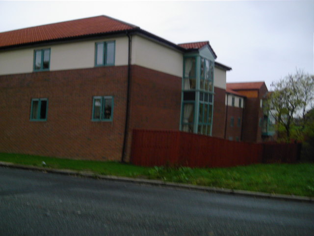
The village has a population of around 4,000 residents and is known for its close-knit community spirit. Choppington is served by a variety of local amenities, including a primary school, a community center, a few local shops, and a post office. The village also has a public house, providing a social hub for residents and visitors.
Choppington's history can be traced back to the medieval period, and it was primarily an agricultural community until the decline of coal mining in the region during the 20th century. The village's proximity to former coal mines played a significant role in shaping its identity and economy.
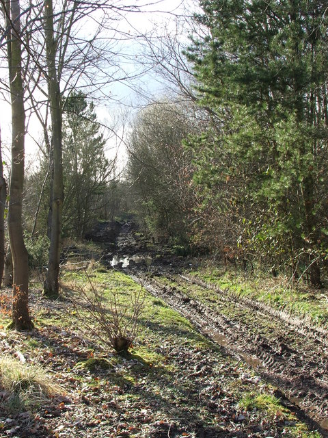
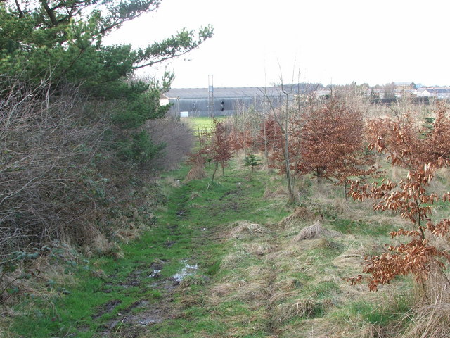
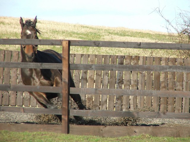
Today, Choppington offers a peaceful and tranquil setting, attracting those seeking a quieter lifestyle away from the hustle and bustle of urban areas. The village is surrounded by beautiful countryside, making it an ideal location for outdoor activities such as walking, cycling, and horseback riding. Additionally, Choppington is well-connected to nearby towns and cities, offering easy access to a wider range of amenities and services.
Overall, Choppington is a charming village with a rich history, a strong sense of community, and stunning natural surroundings, making it a desirable place to live or visit in Northumberland.
If you have any feedback on the listing, please let us know in the comments section below.
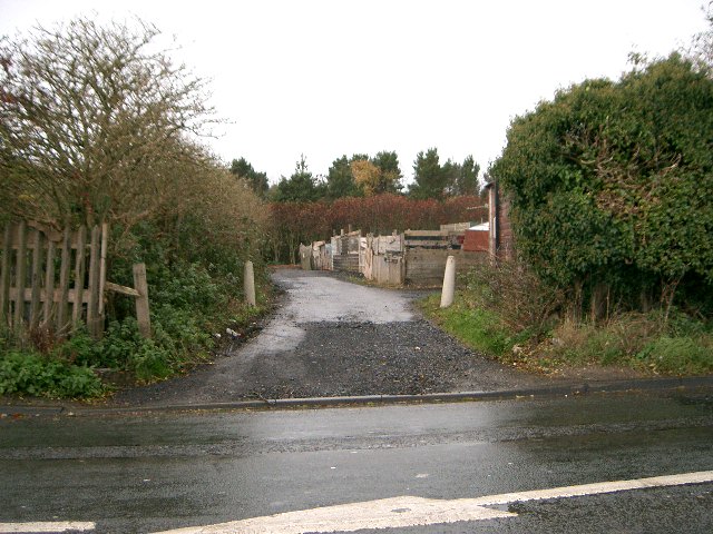
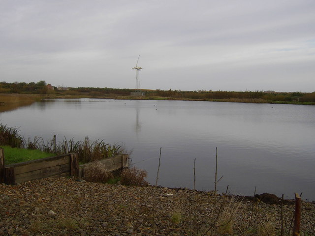
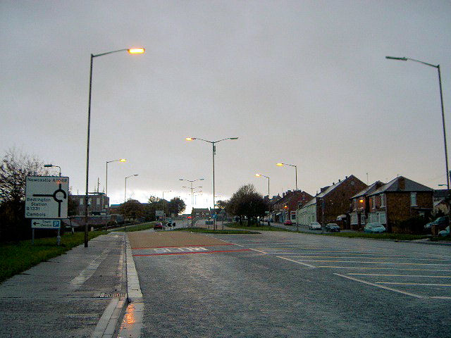
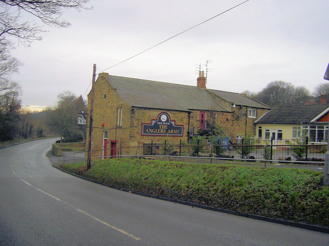
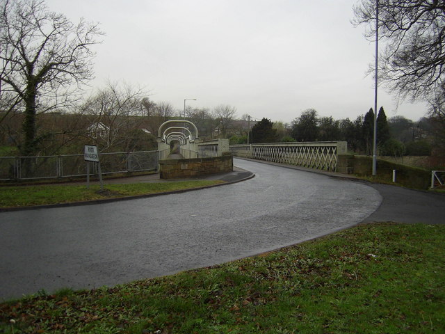
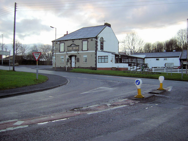
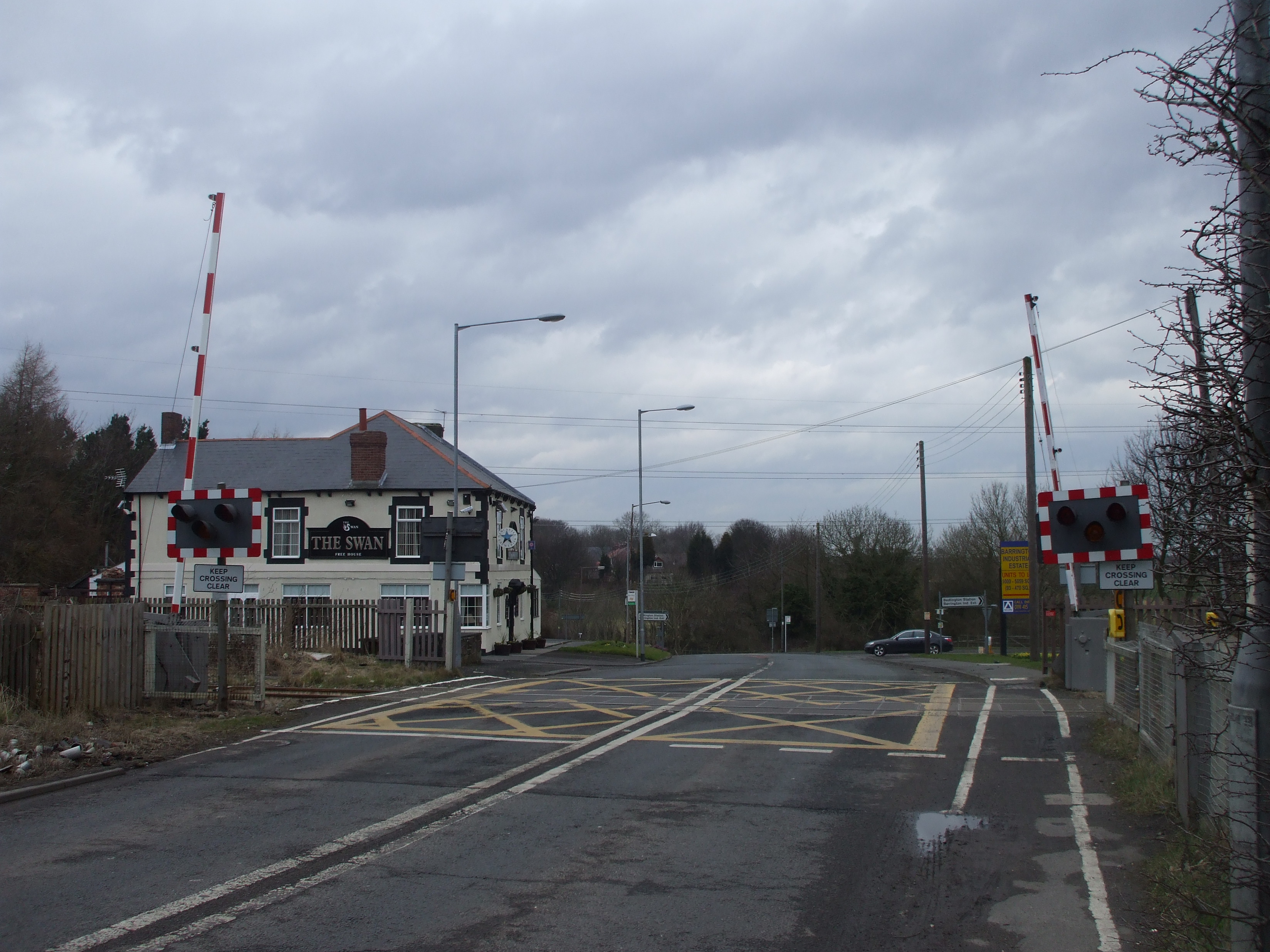
Choppington Images
Images are sourced within 2km of 55.152334/-1.605466 or Grid Reference NZ2584. Thanks to Geograph Open Source API. All images are credited.


Choppington is located at Grid Ref: NZ2584 (Lat: 55.152334, Lng: -1.605466)
Unitary Authority: Northumberland
Police Authority: Northumbria
What 3 Words
///squeaking.makeup.prevented. Near Choppington, Northumberland
Nearby Locations
Related Wikis

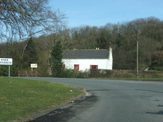
Guide Post
Guide Post is a village in South East Northumberland, England, about 17 miles (27 km) north of Newcastle upon Tyne. It lies south of the River Wansbeck...

Northumberland Coalfield
The Northumberland Coalfield is a coalfield in north-east England. It is continuous with the Durham Coalfield to its south. It extends from Shilbottle...
Choppington railway station
Choppington railway station served the village of Choppington, Northumberland, England from 1858 to 1964 on the Blyth and Tyne Railway. == History == The...
Choppington
Choppington is a large village and civil parish in Northumberland, England. It is situated 5 miles to the south-east of Morpeth, and north of Bedlington...

Sheepwash, Northumberland
Sheepwash is a village and former civil parish, now in the parish of Ashington, in the county of Northumberland, England. It is adjacent to Stakeford and...
Stakeford
Stakeford is a large village in south east Northumberland, England. Its about 17 miles (27 km) north of Newcastle upon Tyne. It lies south of the River...
St Benet Biscop Catholic Academy
St. Benet Biscop Catholic Academy (formerly S. Benet Biscop Catholic High School) is a Roman Catholic high school in Bedlington, Northumberland, England...
Bomarsund, Northumberland
Bomarsund is a village in Northumberland, in England. It is situated to the north of Bedlington, and just south of Stakeford. The village grew around a...
Nearby Amenities
Located within 500m of 55.152334,-1.605466Have you been to Choppington?
Leave your review of Choppington below (or comments, questions and feedback).