Sawood

Settlement in Yorkshire

England

Sawood

Black Moor Road
Black Moor Road Credit: Alex McGregor

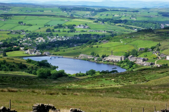
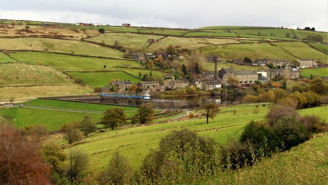
Sawood is a small village located in the county of Yorkshire, in the northern part of England. Situated amidst picturesque countryside, it is nestled between rolling hills and lush green fields. The village is part of the larger district of Bradford, and is approximately 10 miles northeast of the city center.

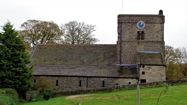
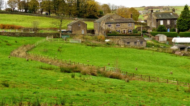
Sawood is home to a tight-knit community of around 500 residents. The village boasts a charming and tranquil atmosphere, making it an ideal place for those seeking a peaceful countryside lifestyle. The architecture in Sawood consists mainly of traditional stone-built houses, with some modern developments in recent years.

Despite its small size, Sawood offers several amenities for its residents. These include a local primary school, a village hall, and a community center. The village is also well-served by public transportation, with regular bus services connecting it to nearby towns and cities.

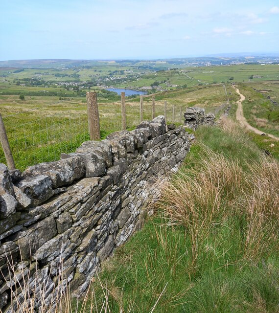
Nature enthusiasts will find plenty to explore in the surrounding area, with numerous walking paths and hiking trails available. The village is also close to several nature reserves and conservation areas, providing opportunities for wildlife spotting and outdoor recreation.

Although Sawood itself does not have a wide range of shops and businesses, the nearby towns of Bradford and Leeds offer a more extensive selection of amenities, including shopping centers, restaurants, and entertainment options.

In summary, Sawood is a quaint and peaceful village in Yorkshire, offering a close-knit community, beautiful countryside, and easy access to nearby towns and cities. It is an idyllic location for those seeking a tranquil rural lifestyle.

If you have any feedback on the listing, please let us know in the comments section below.
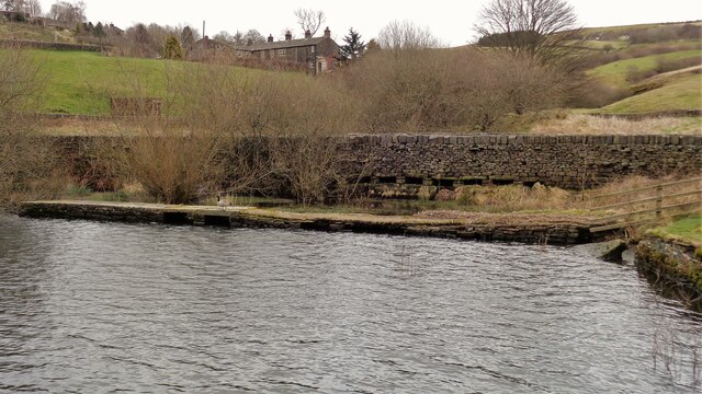
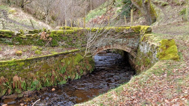
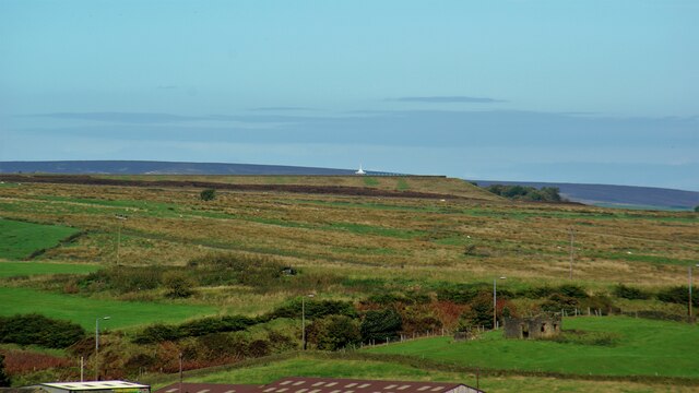
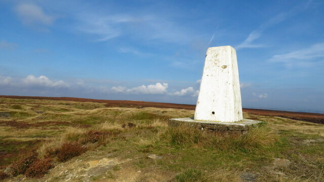
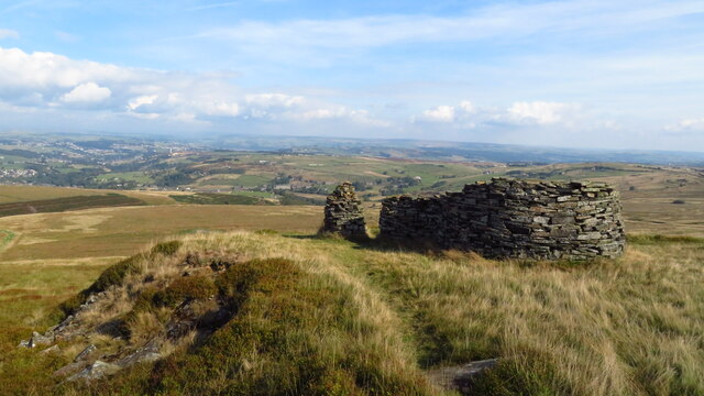
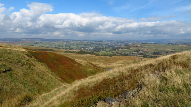
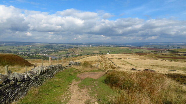
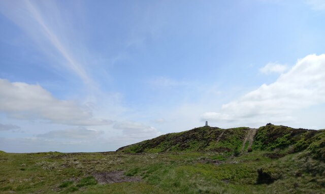
Sawood Images

Images are sourced within 2km of 53.801494/-1.927846 or Grid Reference SE0433. Thanks to Geograph Open Source API. All images are credited.

Black Moor Road
Black Moor Road
Leeming from Hambleton Top View from top of Hambleton Lane
Leeming from Hambleton Top
View from top of Hambleton Lane
Thornton Moor Reservoir View to the valve tower from the top of Hambleton Lane
Thornton Moor Reservoir
View to the valve tower from the top of Hambleton Lane
Church of St Mary
Church of St Mary
Route of Leeming Reservoir Conduit The line is marked by fencing and many boundary stones inscribed BCWW. Viewed from Hill House Lane
Route of Leeming Reservoir Conduit
The line is marked by fencing and many boundary stones inscribed BCWW. Viewed from Hill House Lane
Leeming Reservoir Viewed from near Great Hill House Farm, Oxenhope
Leeming Reservoir
Viewed from near Great Hill House Farm, Oxenhope
Dol Clough feed into Leeming Reservoir A walled track and a what is marked as footbridge at the east end of the reservoir appear to serve as weirs to a settlement pond. The 'footbridge' does not bridge the reservoir, it is more like a long jetty
Dol Clough feed into Leeming Reservoir
A walled track and a what is marked as footbridge at the east end of the reservoir appear to serve as weirs to a settlement pond. The 'footbridge' does not bridge the reservoir, it is more like a long jetty
Bridge over Leeming Reservoir Feed This feed is from Stony Hill and Harden Cloughs. The bridge is used now by the Bronte Way
Bridge over Leeming Reservoir Feed
This feed is from Stony Hill and Harden Cloughs. The bridge is used now by the Bronte Way
Cuckoo Park Lane Approaching access land on Black Moor. The lane is exceptionally broad like a drover's trail
Cuckoo Park Lane
Approaching access land on Black Moor. The lane is exceptionally broad like a drover's trail
Holiday Pods, Upwood Park Viewed from Crumack Lane, and no indication of the airfield shown on OS Maps
Holiday Pods, Upwood Park
Viewed from Crumack Lane, and no indication of the airfield shown on OS Maps
Thornton Moor Zoom view from Soil Hill with the A629 road in a cutting with only the lamp-posts visible. The white valve tower roof of Thornton Moor Reservoir is on the skyline
Thornton Moor
Zoom view from Soil Hill with the A629 road in a cutting with only the lamp-posts visible. The white valve tower roof of Thornton Moor Reservoir is on the skyline
Trig Point at Nab Hill, Oxenhope Moor
Stanza Stones sculptures at Nab Rough, Oxenhope Moor
Great Clough, on Nab Hill
Path running north on Hambleton Lane above Sawood
Quarry on Black Moor This quarry appears to be in remediation phase with some sandstone removed and replaced with other landfill.
Quarry on Black Moor
This quarry appears to be in remediation phase with some sandstone removed and replaced with other landfill.
Hollin Hill Trig Point, Oxenhope Moor
Hambleton Lane and Leeming Reservoir According to the 1908 map there was a benchmark at this location, on the west side of the lane and possibly cut into the wall. Nothing was found.
Hambleton Lane and Leeming Reservoir
According to the 1908 map there was a benchmark at this location, on the west side of the lane and possibly cut into the wall. Nothing was found.
Show me another place!

Sawood is located at Grid Ref: SE0433 (Lat: 53.801494, Lng: -1.927846)

Division: West Riding

Unitary Authority: Bradford

Police Authority: West Yorkshire

What 3 Words

///skate.drooling.farmer. Near Oxenhope, West Yorkshire

Related Wikis

Oxenhope

Oxenhope is a village and civil parish near Keighley in the metropolitan borough of Bradford, West Yorkshire, England. It was historically part of the...

Worth Valley

Worth Valley is a ward in the City of Bradford Metropolitan District Council, West Yorkshire. The population of the ward taken at the 2011 Census was 14...

Oxenhope railway station

Oxenhope railway station serves the village of Oxenhope, near Haworth, and within the City of Bradford Metropolitan District of West Yorkshire, England...

Denholme

Denholme is a town and civil parish in the Bradford Metropolitan Borough, West Yorkshire, England. It is 8 miles (13 km) west of Bradford, 7 miles (11...

Nearby Amenities

Located within 500m of 53.801494,-1.927846
Pub
The Dog and Gun Inn
Addr City: Keighley
Addr Hamlet: Leeming
Addr Postcode: BD22 9SN
Addr Street: Denholme Road
Addr Village: Oxenhope
Fhrs Id: 327474
Website: http://dogandgunoxenhope.co.uk
Lat/Long: 53.8045691/-1.9279415
Bradshaw Head
Place: hamlet
Source: npe
Lat/Long: 53.8045035/-1.9252147
Sentry Hill
Natural: peak
Source: OS 1:25k
Lat/Long: 53.8020388/-1.9235797
Sawood
Place: hamlet
Source: npe
Lat/Long: 53.8018994/-1.9284935
Leeming Wells Hotel
Addr City: Keighley
Addr Postcode: BD22 9SG
Addr Street: Long Causeway
Addr Village: Denholme
Fhrs Id: 327611
Source Addr: FHRS Open Data
Tourism: guest_house
Lat/Long: 53.8045498/-1.9274277
Parking
Access: customers
Parking: surface
Lat/Long: 53.8045578/-1.9283463
Natural: spring
Source: local knowledge
Lat/Long: 53.8022919/-1.9312925
Natural: spring
Source: local knowledge
Lat/Long: 53.8034691/-1.932437
Natural: spring
Source: local knowledge
Lat/Long: 53.802878/-1.9314212
Barrier: stile
Source: local knowledge
Lat/Long: 53.8032891/-1.9248189
Barrier: stile
Source: local knowledge
Lat/Long: 53.8020717/-1.9230071
Barrier: stile
Lat/Long: 53.8041585/-1.9229581
Natural: spring
Source: local knowledge
Lat/Long: 53.7998508/-1.9271122
Barrier: stile
Note: Should be a stile!
Source: local knowledge
Lat/Long: 53.8014951/-1.9278726
Natural: spring
Source: local knowledge
Water: Stone Trough
Lat/Long: 53.8019077/-1.9275091
Barrier: stile
Lat/Long: 53.8039489/-1.9263316
Barrier: stile
Lat/Long: 53.8030554/-1.9274097
Barrier: stile
Source: gps:local knowledge
Lat/Long: 53.8034595/-1.9277486
Barrier: stile
Source: local knowledge
Lat/Long: 53.8016726/-1.9245348
Barrier: stile
Source: gps:local knowledge
Lat/Long: 53.8040803/-1.929262
Barrier: stile
Source: gps:local knowledge
Lat/Long: 53.8043733/-1.9294927
Barrier: stile
Lat/Long: 53.7992077/-1.932148
Barrier: stile
Source: gps:local knowledge
Lat/Long: 53.803133/-1.9348021
Post Box
Post Box Mounting: wooden_post
Post Box Type: lamp
Ref: BD22 82D
Royal Cypher: EIIR
Source: local knowledge
Lat/Long: 53.8043479/-1.9281138
Power: pole
Lat/Long: 53.8052435/-1.9257292
Power: pole
Lat/Long: 53.8048453/-1.9264937
Power: pole
Lat/Long: 53.8043171/-1.9268699
The data included in this document is from www.openstreetmap.org. The data is made available under ODbL.

Have you been to Sawood?

Leave your review of Sawood below (or comments, questions and feedback).