Stony Hill Clough
Valley in Yorkshire
England
Stony Hill Clough

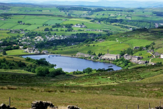
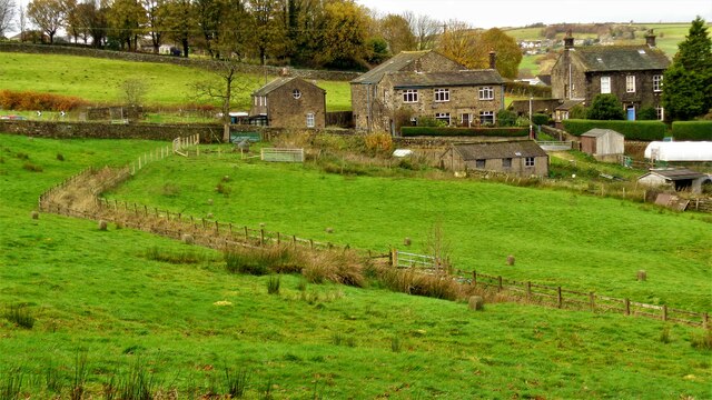
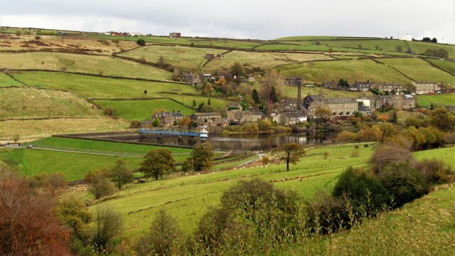
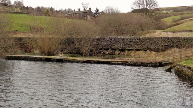
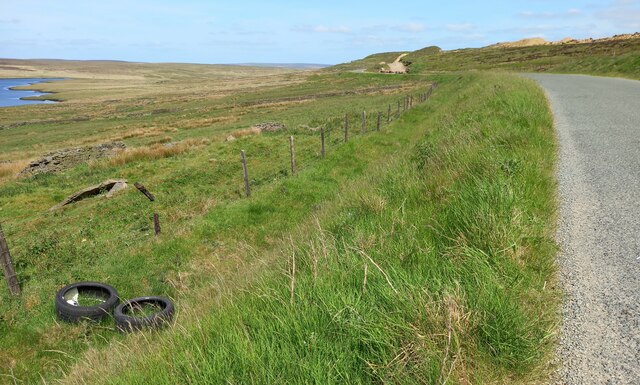
Stony Hill Clough is a picturesque valley located in the county of Yorkshire, England. Situated in the northern part of the country, it is a popular destination for nature enthusiasts and hikers alike due to its breathtaking natural beauty and diverse range of wildlife.
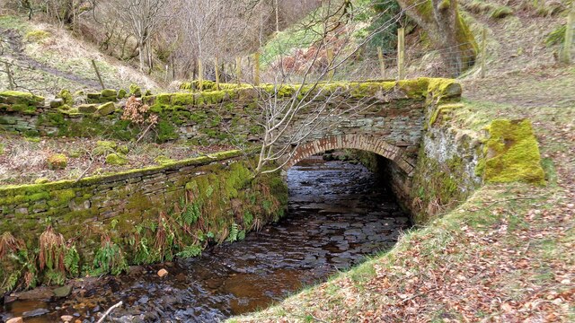
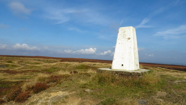
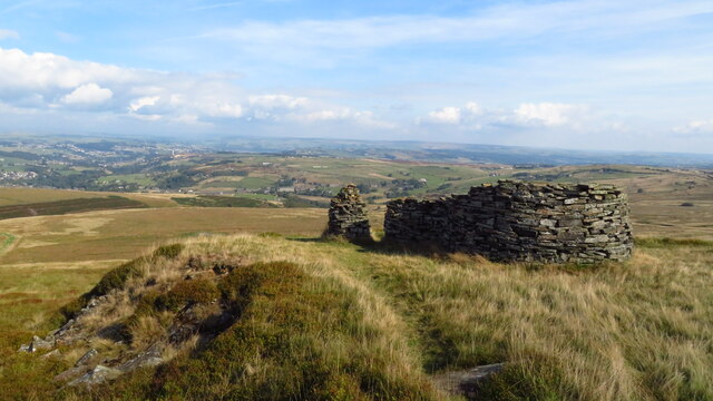
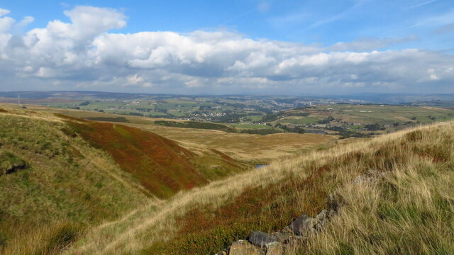
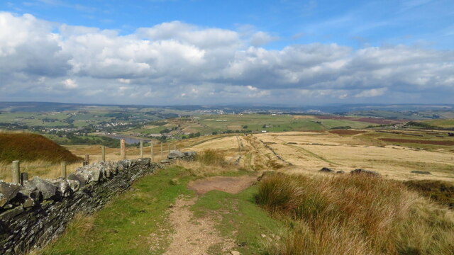
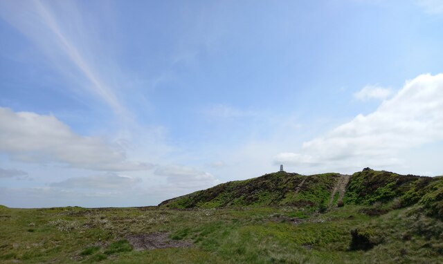
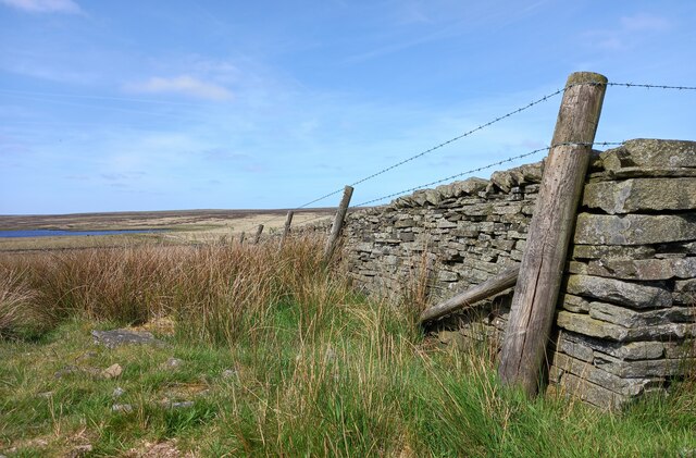
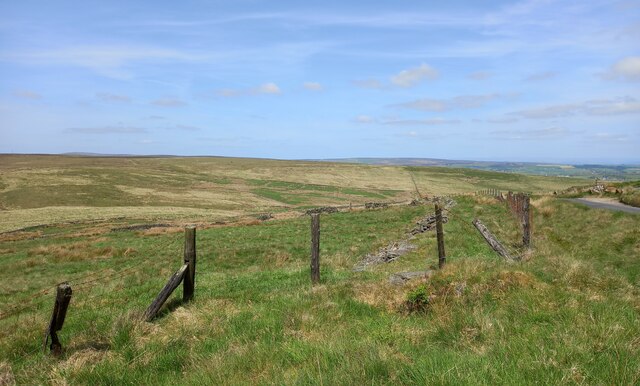
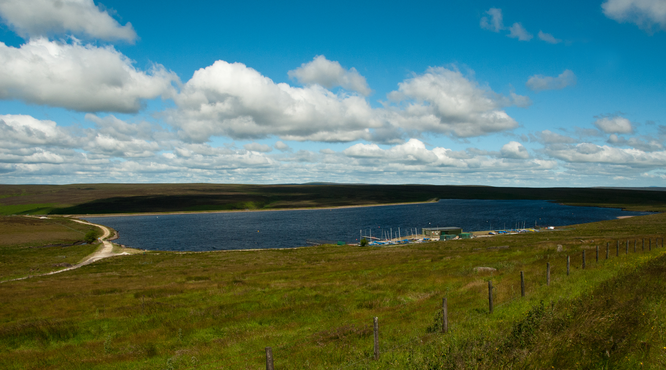
The valley is characterized by its rolling hills and steep cliffs, which provide stunning panoramic views of the surrounding countryside. A prominent feature of Stony Hill Clough is the meandering river that flows through its heart, adding to its charm and tranquility.
The valley is home to a rich and varied ecosystem, with an abundance of plant and animal species. Rare and protected species such as red kites and buzzards can often be spotted soaring overhead, while the river supports a diverse range of fish and aquatic life.
Stony Hill Clough offers numerous walking trails and hiking routes, catering to all levels of fitness and experience. The paths wind through lush green meadows, dense woodlands, and open moorland, providing a diverse range of landscapes to explore.
Visitors to Stony Hill Clough can also enjoy various recreational activities, such as picnicking, birdwatching, and photography. The peaceful and serene atmosphere of the valley makes it an ideal place for relaxation and contemplation, away from the hustle and bustle of city life.
Overall, Stony Hill Clough is a hidden gem in the Yorkshire countryside, offering visitors a unique and unforgettable experience of nature's wonders.
If you have any feedback on the listing, please let us know in the comments section below.
Stony Hill Clough Images
Images are sourced within 2km of 53.798176/-1.9362297 or Grid Reference SE0433. Thanks to Geograph Open Source API. All images are credited.


Stony Hill Clough is located at Grid Ref: SE0433 (Lat: 53.798176, Lng: -1.9362297)
Division: West Riding
Unitary Authority: Bradford
Police Authority: West Yorkshire
What 3 Words
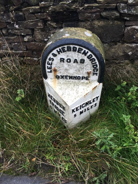
///chuckling.cared.snitch. Near Oxenhope, West Yorkshire
Nearby Locations
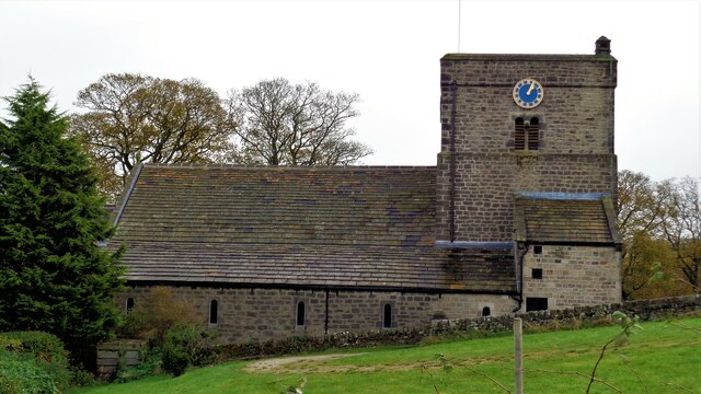
Related Wikis

Worth Valley
Worth Valley is a ward in the City of Bradford Metropolitan District Council, West Yorkshire. The population of the ward taken at the 2011 Census was 14...

Oxenhope
Oxenhope is a village and civil parish near Keighley in the metropolitan borough of Bradford, West Yorkshire, England. It was historically part of the...

Oxenhope railway station
Oxenhope railway station serves the village of Oxenhope, near Haworth, and within the City of Bradford Metropolitan District of West Yorkshire, England...
Warley Moor Reservoir
Warley Moor Reservoir, also known as Fly Flatts Reservoir, is a drinking water reservoir in West Yorkshire, England, owned and operated by Yorkshire Water...

Ovenden Moor Wind Farm
Ovenden Moor Wind Farm is a wind powered electricity generating site in England. Ovenden Moor is located north of Halifax and west of Bradford in West...

Denholme
Denholme is a town and civil parish in the Bradford Metropolitan Borough, West Yorkshire, England. It is 8 miles (13 km) west of Bradford, 7 miles (11...

RAF Manywells Height
Royal Air Force Manywells Height (also known as Royal Flying Corps Manywells Height, Royal Flying Corps Cullingworth and Royal Air Force Cullingworth)...

Denholme railway station
Denholme railway station was a station on the Keighley-Queensbury section of the Queensbury Lines which ran between Keighley, Bradford and Halifax via...
Nearby Amenities
Located within 500m of 53.798176,-1.9362297Have you been to Stony Hill Clough?
Leave your review of Stony Hill Clough below (or comments, questions and feedback).