Salt
Settlement in Staffordshire Stafford
England
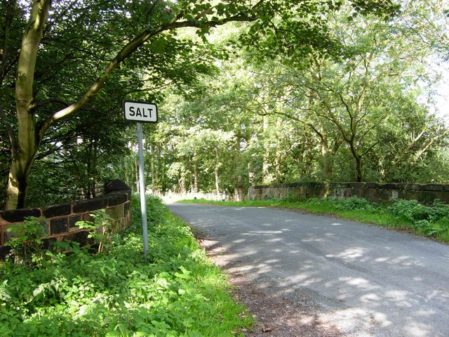
Salt
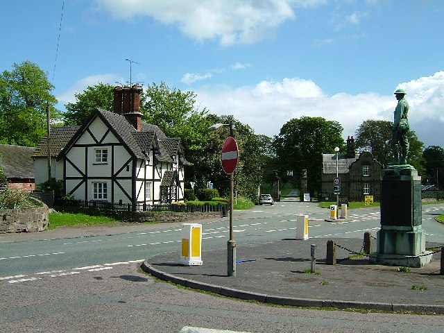
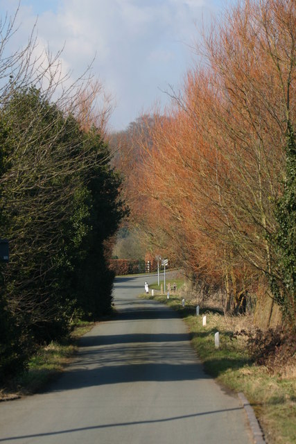
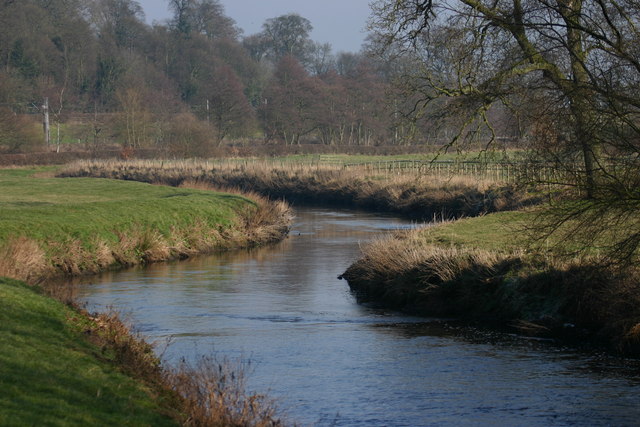
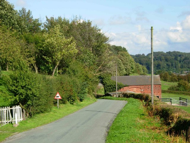
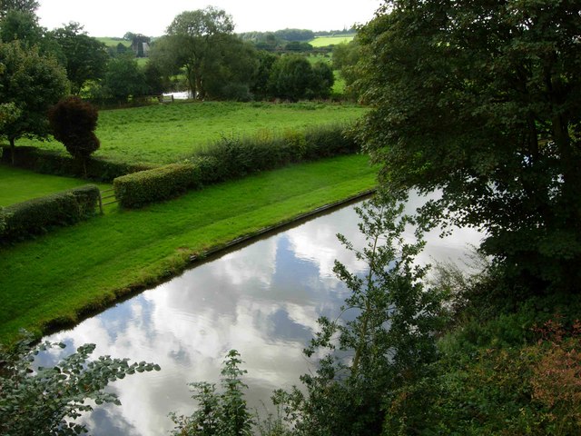
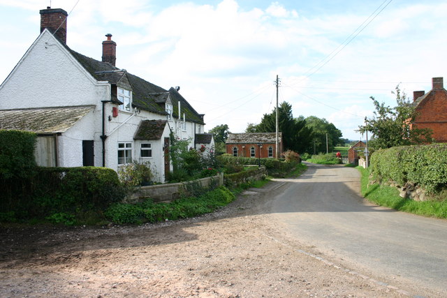
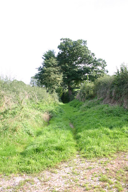
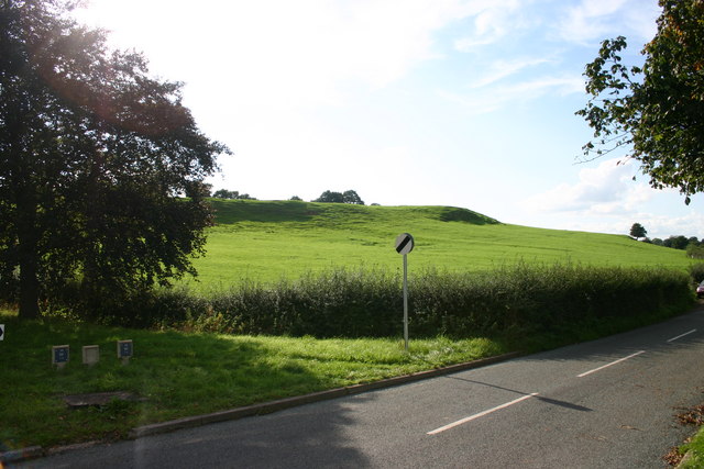
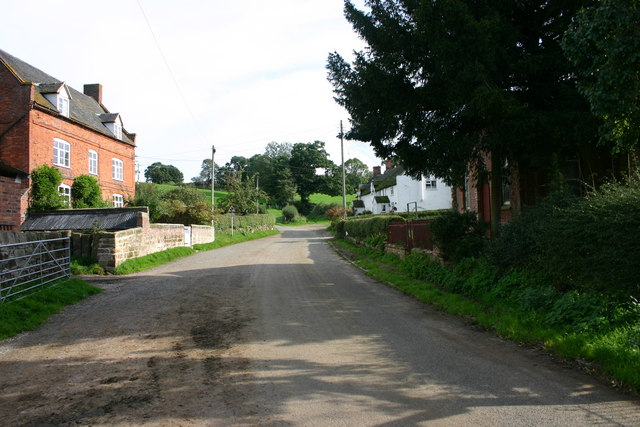
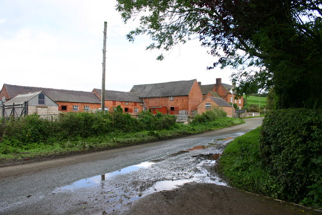
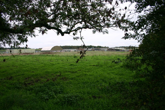
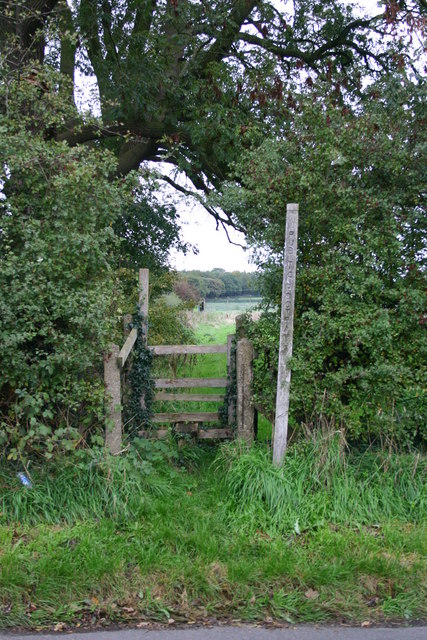
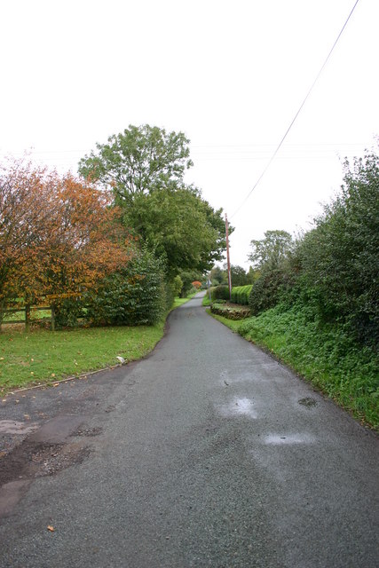
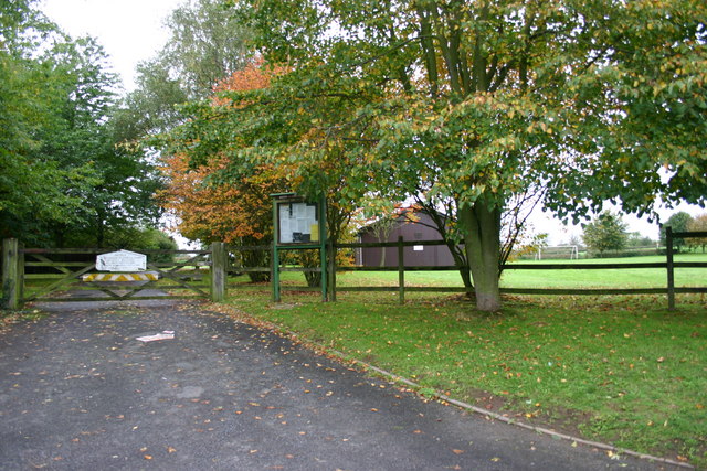
Salt is a small village located in Staffordshire, England. Situated approximately five miles east of Stafford, it lies within the borough of Stafford and is part of the Staffordshire Moorlands district. The village is nestled in the picturesque countryside, surrounded by rolling hills and green fields.
Historically, Salt is renowned for its role in the salt mining industry, which dates back to Roman times. The village takes its name from this industry, as it was once a significant center for salt production. Today, remnants of the salt mining heritage can still be seen in the form of old mine shafts and buildings.
The village itself is quaint and peaceful, with a population of around 1,500 residents. It features a charming mix of traditional cottages, farmhouses, and more modern houses. The community is close-knit, with a strong sense of pride in its history and local heritage.
Salt is home to St. James' Church, a beautiful medieval structure that stands as a testament to the village's long-standing presence. The church is known for its stunning architecture and hosts regular services for the local community.
While small in size, Salt offers some amenities for its residents, including a primary school, village hall, and a few local businesses. For more extensive shopping and entertainment options, the nearby town of Stafford provides a wider range of facilities.
Overall, Salt is a charming village with a rich history and a close-knit community. Its picturesque surroundings and historical significance make it an attractive place to live for those seeking a quiet rural lifestyle.
If you have any feedback on the listing, please let us know in the comments section below.
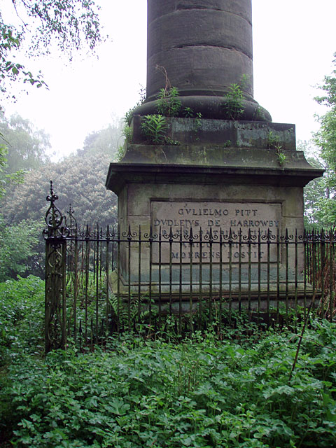
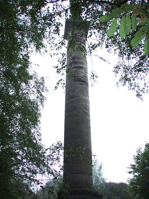
Salt Images
Images are sourced within 2km of 52.848111/-2.068271 or Grid Reference SJ9527. Thanks to Geograph Open Source API. All images are credited.

Salt is located at Grid Ref: SJ9527 (Lat: 52.848111, Lng: -2.068271)
Administrative County: Staffordshire
District: Stafford
Police Authority: Staffordshire
What 3 Words
///today.growth.incomes. Near Stafford, Staffordshire
Nearby Locations
Related Wikis

Salt, Staffordshire
Salt is a village in the Borough of Stafford in Staffordshire, England. It is three miles northeast of Stafford situated half a mile southwest of the A51...

Salt and Sandon railway station
Salt and Sandon railway station was a former British railway station opened by the Stafford and Uttoxeter Railway to serve the village of Salt in Staffordshire...

Sandon Hall
Sandon Hall is a 19th-century country mansion, the seat of the Earl of Harrowby, at Sandon, Staffordshire, 5 miles (8.0 km) northeast of Stafford. It is...

Battle of Hopton Heath
The battle of Hopton Heath was a battle of the First English Civil War, fought on Sunday 19 March 1643 between Parliamentarian forces led by Sir John Gell...

Sandon railway station
Sandon railway station was a railway station opened by the North Staffordshire Railway to serve the village of Sandon, Staffordshire, England. For some...

Sandon, Staffordshire
Sandon is a village in the civil parish of Sandon and Burston, in the Stafford district, in the county of Staffordshire, England. It is about 4.5 miles...

Hopton, Staffordshire
Hopton is a village in the civil parish of Hopton and Coton and is within the English county of Staffordshire. == Location == The village is on the north...

Weston, Staffordshire
Weston is a village and civil parish. within the English county of Staffordshire. The parish is in the local authority of Stafford (non-metropolitan district...
Nearby Amenities
Located within 500m of 52.848111,-2.068271Have you been to Salt?
Leave your review of Salt below (or comments, questions and feedback).