Holm Covert

Wood, Forest in Staffordshire Stafford

England

Holm Covert

Marl Hole Kents Barn Farm, Nr. Stafford
Marl Hole Credit: John Nickolls

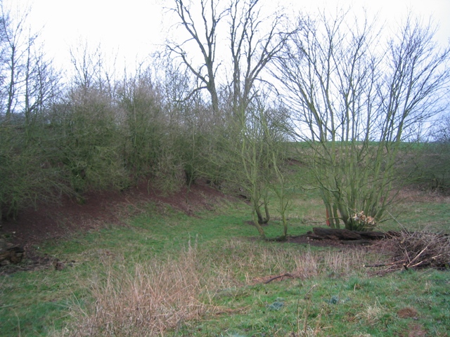
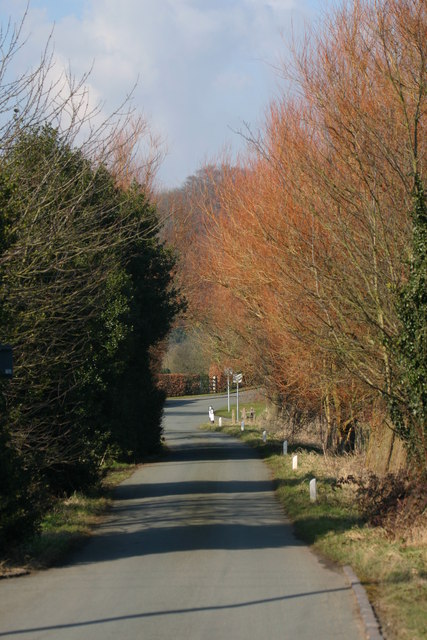
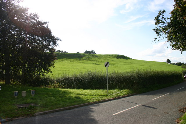
Holm Covert is a serene and picturesque woodland located in Staffordshire, England. Situated in the heart of the county, this enchanting forest covers an expansive area and is an idyllic destination for nature enthusiasts and outdoor adventurers alike.

The woodland is characterized by its dense canopy of towering trees, primarily consisting of oak, beech, and ash. These ancient trees provide a peaceful ambiance and create a diverse ecosystem, supporting a wide variety of flora and fauna. Nature lovers can immerse themselves in the vibrant colors and scents of wildflowers, such as bluebells and primroses, which carpet the forest floor during the spring months.

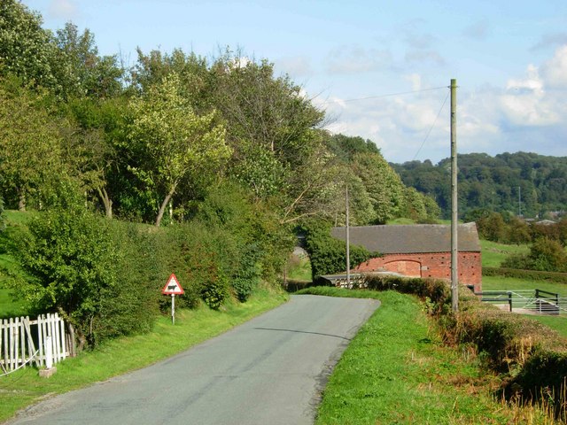
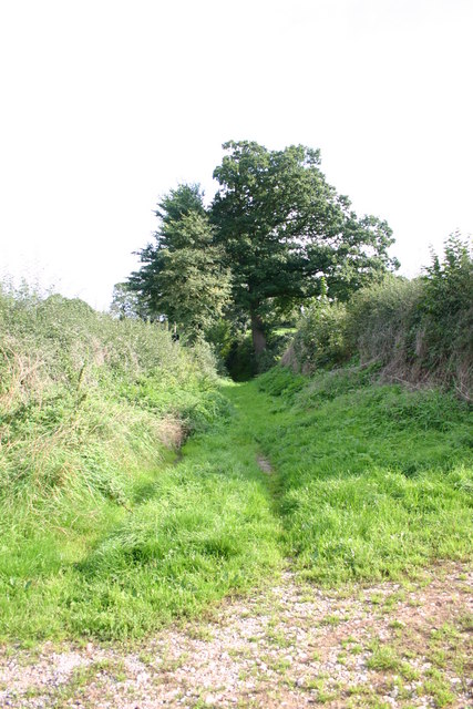
Holm Covert is not only a haven for wildlife and plant species but also offers a range of recreational activities for visitors. The forest is crisscrossed with well-maintained trails, inviting hikers and walkers to explore its hidden gems. Birdwatchers will be delighted by the abundance of avian species that call this woodland home, including woodpeckers, owls, and various songbirds.

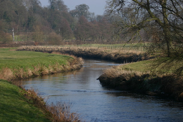
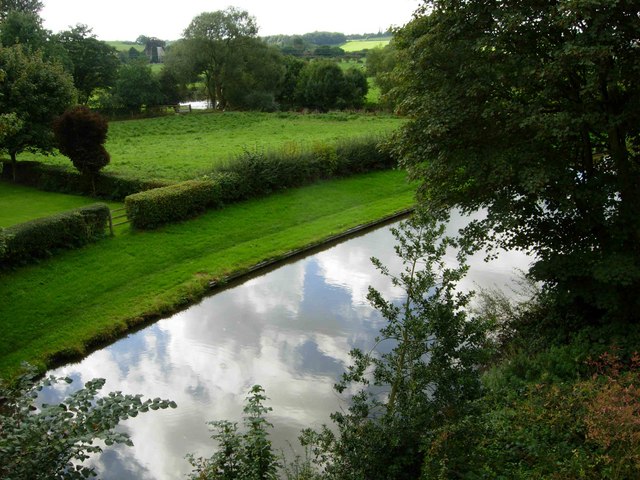
For those seeking a tranquil escape, Holm Covert provides several designated picnic areas and benches nestled among the trees, allowing visitors to relax and enjoy the serene surroundings. The forest also boasts a small lake, which adds to the charm of this natural retreat.

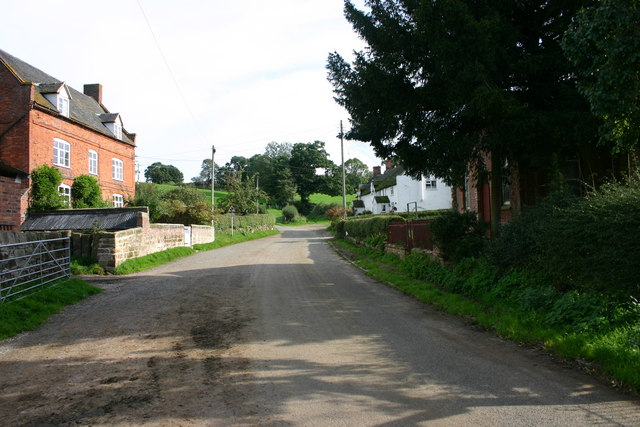
Holm Covert is easily accessible, with ample parking facilities and well-marked entrances. It offers a peaceful respite from the hustle and bustle of everyday life, making it a perfect destination for nature enthusiasts, families, and anyone seeking solace in the beauty of Staffordshire's woodlands.

If you have any feedback on the listing, please let us know in the comments section below.
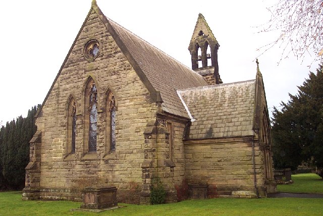
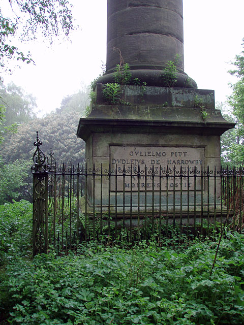
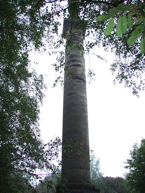
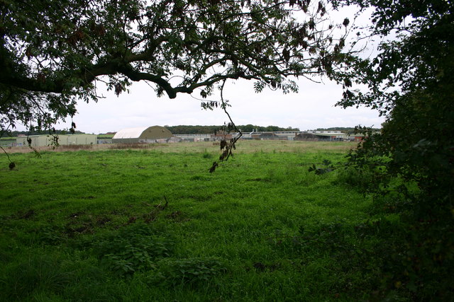
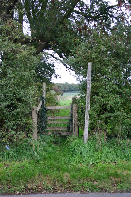
Holm Covert Images

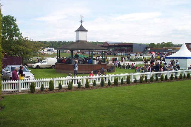
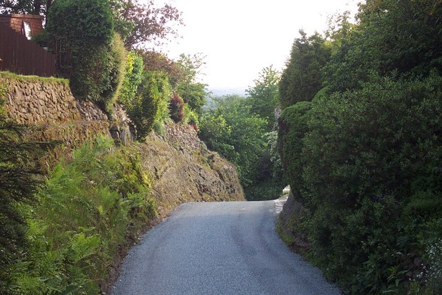
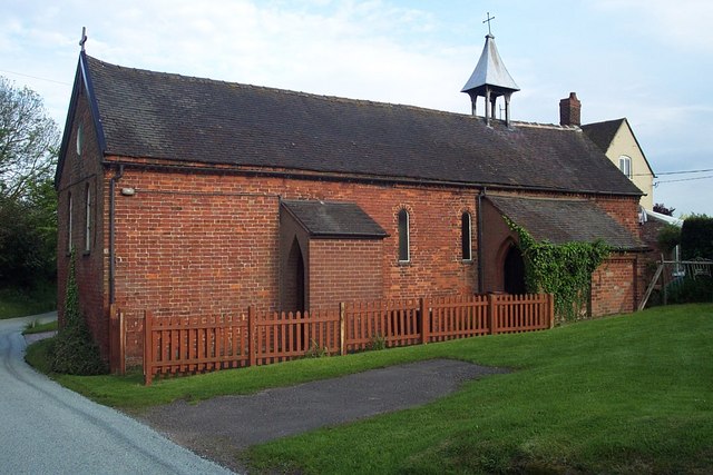
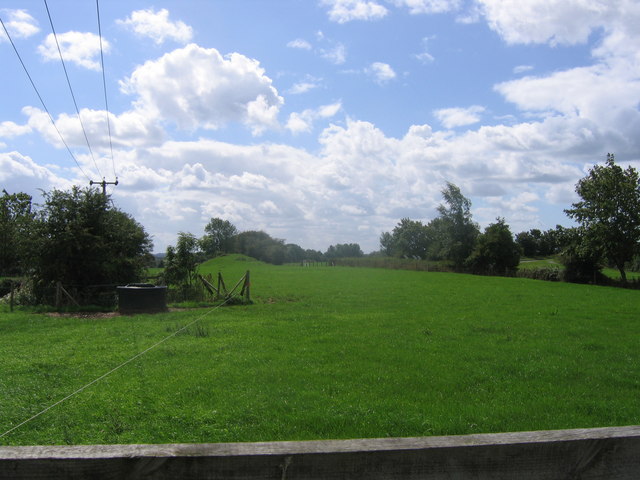
Images are sourced within 2km of 52.841847/-2.0723926 or Grid Reference SJ9527. Thanks to Geograph Open Source API. All images are credited.

Marl Hole Kents Barn Farm, Nr. Stafford
Marl Hole
Kents Barn Farm, Nr. Stafford
St. James the Great, Salt
Pitt's Column Abandoned and hidden in the trees, this is a memorial column to William Pitt the Younger. Erected in the year of his death (1806).
Pitt's Column
Abandoned and hidden in the trees, this is a memorial column to William Pitt the Younger. Erected in the year of his death (1806).
Pitt's Column More general view of the memorial.
Pitt's Column
More general view of the memorial.
County Showground Taken during the Staffordshire Show
County Showground
Taken during the Staffordshire Show
Wilmorehill Lane, Hopton
Hopton Church Dedicated to St. Peter
Hopton Church
Dedicated to St. Peter
Disappearing railway The railway line from Stafford to Uttoxeter used to cross this field on an embankment and then bridge the road the photographer is standing on. Now all that remains is the grassy mound in the background.
Disappearing railway
The railway line from Stafford to Uttoxeter used to cross this field on an embankment and then bridge the road the photographer is standing on. Now all that remains is the grassy mound in the background.
The Casey, Salt Looking North towards the Trent and Mersey Canal and the A51 from the River Trent Bridge at Salt.
The Casey, Salt
Looking North towards the Trent and Mersey Canal and the A51 from the River Trent Bridge at Salt.
The river Trent, Salt This is the River Trent taken from the Bridge facing East, in the background are trees on the Sandon Estate, a railway line can just be seen but hidden from view is the Trent and Mersey canal and the A51.
The river Trent, Salt
This is the River Trent taken from the Bridge facing East, in the background are trees on the Sandon Estate, a railway line can just be seen but hidden from view is the Trent and Mersey canal and the A51.
Road to Salt Looking along the lane leading from the B5066 to Salt village.
Road to Salt
Looking along the lane leading from the B5066 to Salt village.
Salt At this point the road from Weston to Salt doglegs across a bridge over an overgrown cutting that was once the Great Northern Railway's Uttoxeter - Stafford branch line, abandoned in 1951.
Salt
At this point the road from Weston to Salt doglegs across a bridge over an overgrown cutting that was once the Great Northern Railway's Uttoxeter - Stafford branch line, abandoned in 1951.
Trent & Mersey Canal, Salt At this point the canal is sandwiched between the River Trent (just visible beyond the field), the Colwich - Stone railway and the A51 (out of shot to the right).
Trent & Mersey Canal, Salt
At this point the canal is sandwiched between the River Trent (just visible beyond the field), the Colwich - Stone railway and the A51 (out of shot to the right).
Bridleway at Enson This bridleway leads across Pea Hill to Sandon Bank
Bridleway at Enson
This bridleway leads across Pea Hill to Sandon Bank
Pea Hill This is Pea Hill from the cross roads on Sandon Bank to Salt and to Enson, Enson Lane is in the foreground.
Pea Hill
This is Pea Hill from the cross roads on Sandon Bank to Salt and to Enson, Enson Lane is in the foreground.
Enson Lane, Enson This view shows Enson Farm on the left with some old cottages on the right. In the shadows on the right is what looks like a tiny (disused) chapel.  Enson Lane turns to the left but straight ahead is a Bridleway (the Oak tree marks its position). Other photos I have submitted show other views of this area.
Enson Lane, Enson
This view shows Enson Farm on the left with some old cottages on the right. In the shadows on the right is what looks like a tiny (disused) chapel. Enson Lane turns to the left but straight ahead is a Bridleway (the Oak tree marks its position). Other photos I have submitted show other views of this area.
Battle Field, Stafford Here is a view of the site of the Battle of Hopton Heath on 19th March 1643 during the English Civil War. The Royalists for King Charles I were led by Spencer Compton, Earl of Northampton, killed in action during the battle. The Parliamentarians were led by Sir John Gel. The battle started at 3p.m. and lasted until dark. The outcome of this battle was indecisive. The buildings in the background are storage units for the RAF.
Battle Field, Stafford
Here is a view of the site of the Battle of Hopton Heath on 19th March 1643 during the English Civil War. The Royalists for King Charles I were led by Spencer Compton, Earl of Northampton, killed in action during the battle. The Parliamentarians were led by Sir John Gel. The battle started at 3p.m. and lasted until dark. The outcome of this battle was indecisive. The buildings in the background are storage units for the RAF.
Stile on Within Lane, Stafford This stile is on within Lane, Hopton near to Stafford. It gives access to the field where the Battle of Hopton Heath happened on 19th March 1643.
Stile on Within Lane, Stafford
This stile is on within Lane, Hopton near to Stafford. It gives access to the field where the Battle of Hopton Heath happened on 19th March 1643.
Show me another place!

Holm Covert is located at Grid Ref: SJ9527 (Lat: 52.841847, Lng: -2.0723926)

Administrative County: Staffordshire

District: Stafford

Police Authority: Staffordshire

What 3 Words

///hypnotist.lump.popular. Near Stafford, Staffordshire

Related Wikis

Salt and Sandon railway station

Salt and Sandon railway station was a former British railway station opened by the Stafford and Uttoxeter Railway to serve the village of Salt in Staffordshire...
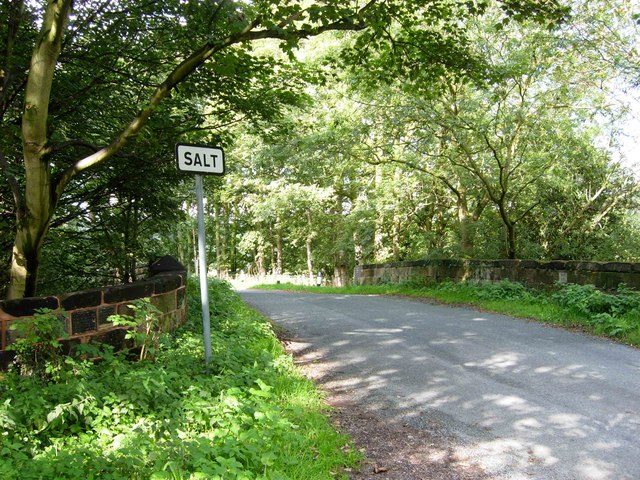
Salt, Staffordshire

Salt is a village in the Borough of Stafford in Staffordshire, England. It is three miles northeast of Stafford situated half a mile southwest of the A51...

Battle of Hopton Heath

The battle of Hopton Heath was a battle of the First English Civil War, fought on Sunday 19 March 1643 between Parliamentarian forces led by Sir John Gell...

Hopton, Staffordshire

Hopton is a village in the civil parish of Hopton and Coton and is within the English county of Staffordshire. == Location == The village is on the north...

Sandon Hall

Sandon Hall is a 19th-century country mansion, the seat of the Earl of Harrowby, at Sandon, Staffordshire, 5 miles (8.0 km) northeast of Stafford. It is...

Bingley Hall, Stafford

Bingley Hall (also known as New Bingley Hall to distinguish itself from the Bingley Hall in Birmingham) is an exhibition hall located in Stafford, England...

Sandon railway station

Sandon railway station was a railway station opened by the North Staffordshire Railway to serve the village of Sandon, Staffordshire, England. For some...

Sandon, Staffordshire

Sandon is a village in the civil parish of Sandon and Burston, in the Stafford district, in the county of Staffordshire, England. It is about 4.5 miles...

Nearby Amenities

Located within 500m of 52.841847,-2.0723926
The data included in this document is from www.openstreetmap.org. The data is made available under ODbL.

Have you been to Holm Covert?

Leave your review of Holm Covert below (or comments, questions and feedback).