New Fox Covert

Wood, Forest in Staffordshire Stafford

England

New Fox Covert

Weston upon Trent Church St Andrew's Church has an very broad tower in Early English style, and there is other early 13C work inside, but the remainder of the exterior is Victorian, of 1860 and 1872.
Weston upon Trent Church Credit: Humphrey Bolton

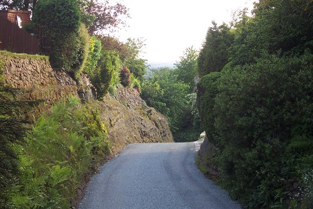
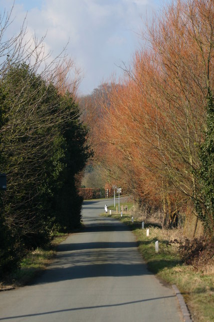
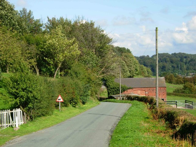
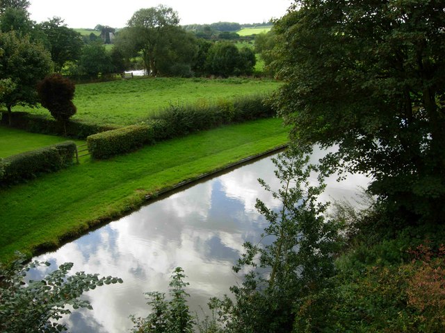
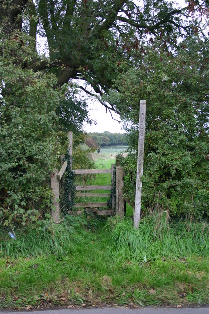
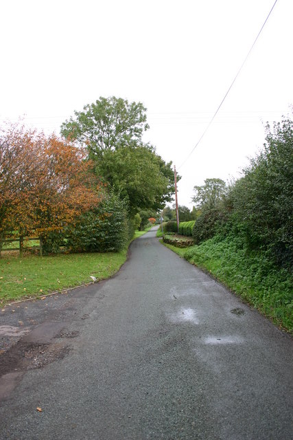
New Fox Covert, located in Staffordshire, is a picturesque wood and forest area renowned for its natural beauty and tranquility. Spanning over a vast expanse of land, this enchanting woodland offers visitors a unique and immersive experience in nature.

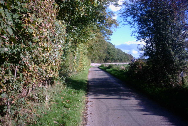
The predominant feature of New Fox Covert is its dense canopy of trees, which consists mainly of oak, beech, and birch. These majestic trees provide shade and create a serene atmosphere, perfect for those seeking solace away from the bustle of city life. The forest floor is adorned with a vibrant carpet of ferns, mosses, and wildflowers, adding to its enchanting allure.

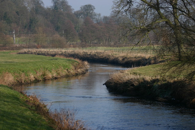
The woodland is teeming with a diverse range of wildlife, making it a paradise for nature enthusiasts and photographers. Visitors may encounter deer roaming freely, squirrels gracefully leaping from tree to tree, and an array of bird species, including woodpeckers and owls. The sound of birdsong fills the air, adding to the calming ambiance of the forest.

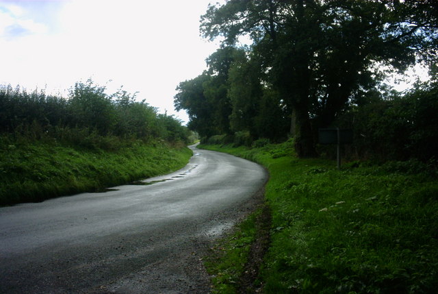
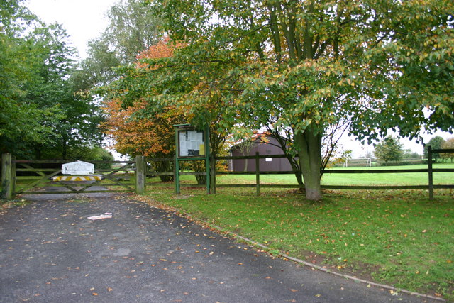
New Fox Covert offers various recreational activities for visitors to enjoy. Walking trails meander through the woods, offering stunning viewpoints and opportunities to observe the flora and fauna up close. There are also designated picnic areas where families and friends can gather to enjoy a meal surrounded by nature.

In addition to its natural beauty, the woodland is also known for its historical significance. It is believed that New Fox Covert has been a forested area for centuries, providing a glimpse into the region's rich heritage.

Overall, New Fox Covert in Staffordshire is a captivating wood and forest area that offers a peaceful retreat for nature lovers, with its lush greenery, diverse wildlife, and opportunities for outdoor activities.

If you have any feedback on the listing, please let us know in the comments section below.

New Fox Covert Images

Images are sourced within 2km of 52.843146/-2.0634274 or Grid Reference SJ9527. Thanks to Geograph Open Source API. All images are credited.

Weston upon Trent Church St Andrew's Church has an very broad tower in Early English style, and there is other early 13C work inside, but the remainder of the exterior is Victorian, of 1860 and 1872.
Weston upon Trent Church
St Andrew's Church has an very broad tower in Early English style, and there is other early 13C work inside, but the remainder of the exterior is Victorian, of 1860 and 1872.
St. James the Great, Salt
Pitt's Column Abandoned and hidden in the trees, this is a memorial column to William Pitt the Younger. Erected in the year of his death (1806).
Pitt's Column
Abandoned and hidden in the trees, this is a memorial column to William Pitt the Younger. Erected in the year of his death (1806).
Pitt's Column More general view of the memorial.
Pitt's Column
More general view of the memorial.
County Showground Taken during the Staffordshire Show
County Showground
Taken during the Staffordshire Show
Wilmorehill Lane, Hopton
The Casey, Salt Looking North towards the Trent and Mersey Canal and the A51 from the River Trent Bridge at Salt.
The Casey, Salt
Looking North towards the Trent and Mersey Canal and the A51 from the River Trent Bridge at Salt.
The river Trent, Salt This is the River Trent taken from the Bridge facing East, in the background are trees on the Sandon Estate, a railway line can just be seen but hidden from view is the Trent and Mersey canal and the A51.
The river Trent, Salt
This is the River Trent taken from the Bridge facing East, in the background are trees on the Sandon Estate, a railway line can just be seen but hidden from view is the Trent and Mersey canal and the A51.
Road to Salt Looking along the lane leading from the B5066 to Salt village.
Road to Salt
Looking along the lane leading from the B5066 to Salt village.
Salt At this point the road from Weston to Salt doglegs across a bridge over an overgrown cutting that was once the Great Northern Railway's Uttoxeter - Stafford branch line, abandoned in 1951.
Salt
At this point the road from Weston to Salt doglegs across a bridge over an overgrown cutting that was once the Great Northern Railway's Uttoxeter - Stafford branch line, abandoned in 1951.
Trent & Mersey Canal, Salt At this point the canal is sandwiched between the River Trent (just visible beyond the field), the Colwich - Stone railway and the A51 (out of shot to the right).
Trent & Mersey Canal, Salt
At this point the canal is sandwiched between the River Trent (just visible beyond the field), the Colwich - Stone railway and the A51 (out of shot to the right).
Un-named Lane to A51 near Weston, Stafford This country lane is leading towards the A51 near to Weston, near Stafford.  Going in the other direction takes you to Gayton, a small hamlet surrounded by lovely countryside.
Un-named Lane to A51 near Weston, Stafford
This country lane is leading towards the A51 near to Weston, near Stafford. Going in the other direction takes you to Gayton, a small hamlet surrounded by lovely countryside.
Battle Field, Stafford Here is a view of the site of the Battle of Hopton Heath on 19th March 1643 during the English Civil War. The Royalists for King Charles I were led by Spencer Compton, Earl of Northampton, killed in action during the battle. The Parliamentarians were led by Sir John Gel. The battle started at 3p.m. and lasted until dark. The outcome of this battle was indecisive. The buildings in the background are storage units for the RAF.
Battle Field, Stafford
Here is a view of the site of the Battle of Hopton Heath on 19th March 1643 during the English Civil War. The Royalists for King Charles I were led by Spencer Compton, Earl of Northampton, killed in action during the battle. The Parliamentarians were led by Sir John Gel. The battle started at 3p.m. and lasted until dark. The outcome of this battle was indecisive. The buildings in the background are storage units for the RAF.
Stile on Within Lane, Stafford This stile is on within Lane, Hopton near to Stafford. It gives access to the field where the Battle of Hopton Heath happened on 19th March 1643.
Stile on Within Lane, Stafford
This stile is on within Lane, Hopton near to Stafford. It gives access to the field where the Battle of Hopton Heath happened on 19th March 1643.
A lane out of Hopton Village This lane leads northeasterly out of the village of Hopton, near Stafford. Just out of view on the left is the Village Hall (photo submitted).
A lane out of Hopton Village
This lane leads northeasterly out of the village of Hopton, near Stafford. Just out of view on the left is the Village Hall (photo submitted).
Hopton Village Hall Hopton Village Hall near to Stafford
Hopton Village Hall
Hopton Village Hall near to Stafford
Cromwell Close, Hopton This is Crowmell Close off another road called Battle Ridge in Hopton, near Stafford. One of the battles during the English Civil War took place close to this village.
Cromwell Close, Hopton
This is Crowmell Close off another road called Battle Ridge in Hopton, near Stafford. One of the battles during the English Civil War took place close to this village.
Farm Track and Bridleway This track leads to a pink painted farmhouse and a bridleway that leads across beautiful countryside to Tixall near stafford.
Farm Track and Bridleway
This track leads to a pink painted farmhouse and a bridleway that leads across beautiful countryside to Tixall near stafford.
Show me another place!

New Fox Covert is located at Grid Ref: SJ9527 (Lat: 52.843146, Lng: -2.0634274)

Administrative County: Staffordshire

District: Stafford

Police Authority: Staffordshire

What 3 Words

///including.pools.fool. Near Stafford, Staffordshire

Related Wikis

Salt and Sandon railway station

Salt and Sandon railway station was a former British railway station opened by the Stafford and Uttoxeter Railway to serve the village of Salt in Staffordshire...
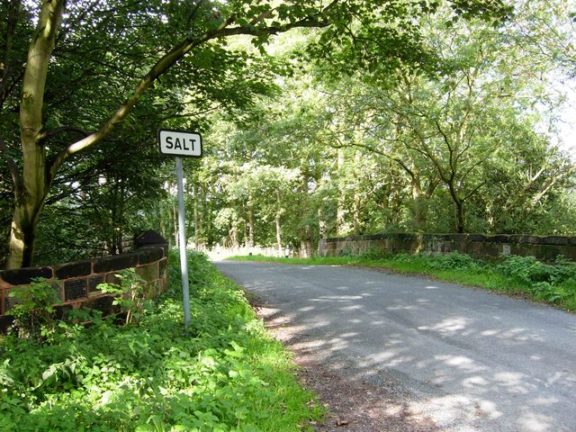
Salt, Staffordshire

Salt is a village in the Borough of Stafford in Staffordshire, England. It is three miles northeast of Stafford situated half a mile southwest of the A51...

Battle of Hopton Heath

The battle of Hopton Heath was a battle of the First English Civil War, fought on Sunday 19 March 1643 between Parliamentarian forces led by Sir John Gell...

Sandon Hall

Sandon Hall is a 19th-century country mansion, the seat of the Earl of Harrowby, at Sandon, Staffordshire, 5 miles (8.0 km) northeast of Stafford. It is...

Hopton, Staffordshire

Hopton is a village in the civil parish of Hopton and Coton and is within the English county of Staffordshire. == Location == The village is on the north...

Weston, Staffordshire

Weston is a village and civil parish. within the English county of Staffordshire. The parish is in the local authority of Stafford (non-metropolitan district...

Weston and Ingestre railway station

Weston and Ingestre railway station was a former British railway station opened by the North Staffordshire Railway to serve the village of Ingestre in...

Ingestre railway station

Ingestre and Weston railway station was a former British railway station to serve the village of Ingestre in Staffordshire.It was opened by the Stafford...

Related Videos

Historic Staffordshire Walk - Holly Bush Salt - Hopton Heath & Tinkerboro

This short 3.5 mile walk starts at the Historic Holly Bush in the Staffordshire village of Salt. The pub is one of the oldest in England ...

Behind the scenes...

A sneak peek behind the scenes of the making of The Sylvan Pet Hotel....from concept to finished facility....this is an insight into the ...

VEE DUB Show VW Show Stafford Showground 2023 Camping Area #vwbeetle #vwcamper

Quick '#shorts Video of view across the Camping Area on the Morning of the VEE DUB Show Stafford in February 2023.

Stafford Well Being Show with Clange

On 11th & 12th September 2021. We took part in the first Stafford LizianEvents Well Being Show. Thank You | LizianEvents News ...

Nearby Amenities

Located within 500m of 52.843146,-2.0634274
Salt and Sandon
Abandoned Railway: station
Railway: site
Lat/Long: 52.8470839/-2.0654626
The data included in this document is from www.openstreetmap.org. The data is made available under ODbL.

Have you been to New Fox Covert?

Leave your review of New Fox Covert below (or comments, questions and feedback).