Salenside
Settlement in Roxburghshire
Scotland
Salenside
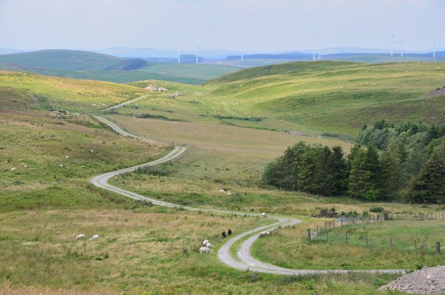
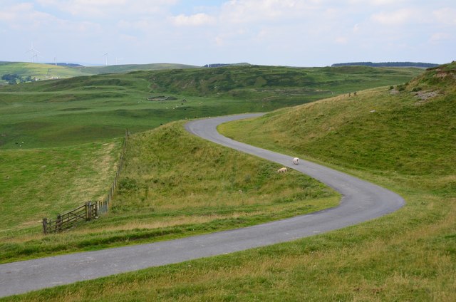
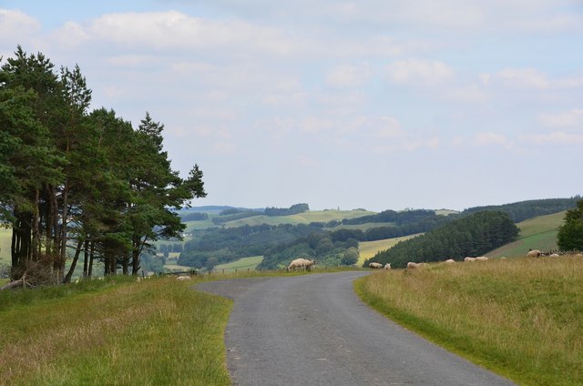
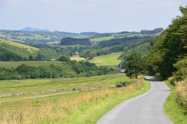
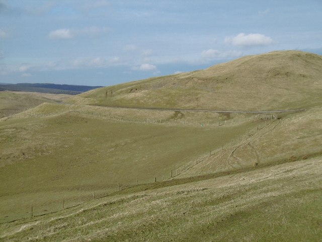
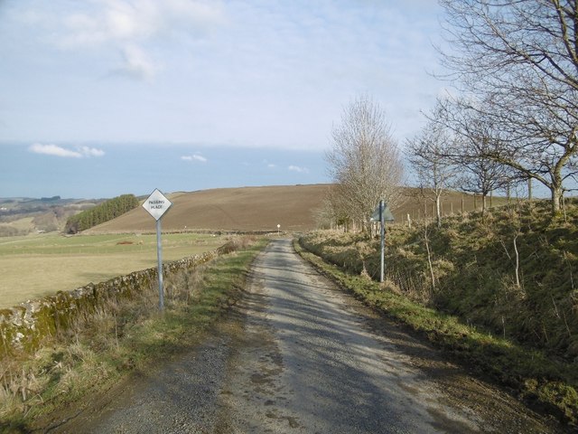
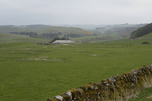
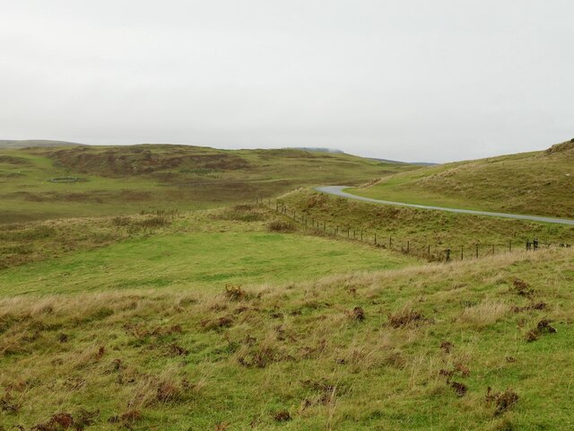
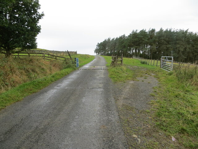
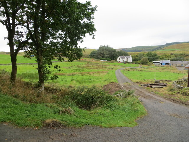
Salenside is a picturesque village located in the historic county of Roxburghshire, in the Scottish Borders region of Scotland. Nestled on the eastern bank of the River Teviot, Salenside is surrounded by rolling hills and breathtaking natural beauty.
With a population of approximately 300 residents, the village exudes a charming and close-knit community atmosphere. The village is known for its well-preserved stone-built houses, which showcase the traditional Scottish architectural style. The streets are lined with vibrant flower gardens, adding a touch of color to the village's serene ambiance.
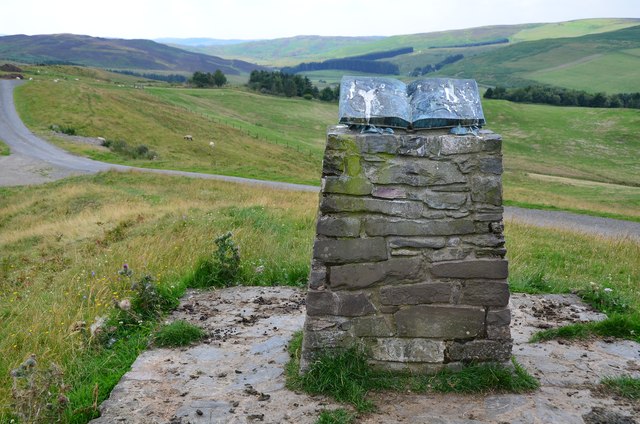
Salenside boasts a rich history that dates back centuries. The area was once inhabited by Celtic tribes and later became a strategic location during the Roman occupation of Britain. Today, remnants of this history can be explored through the nearby archaeological sites and ruins.
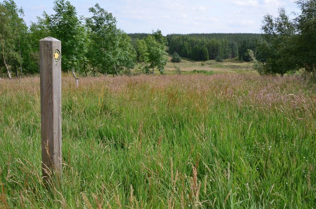
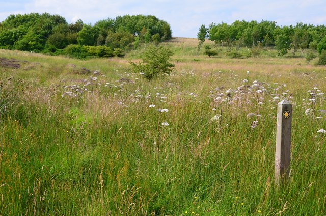
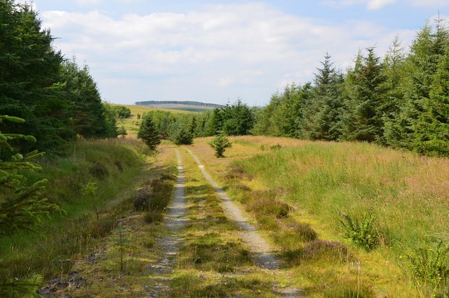
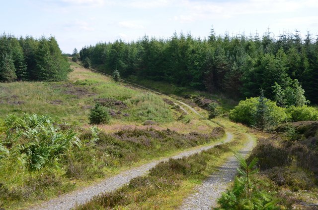
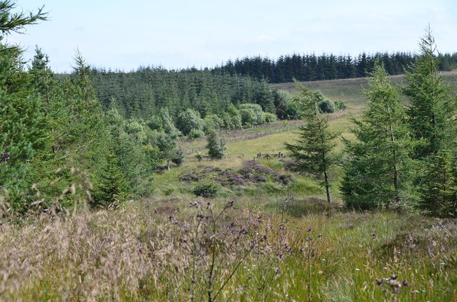
Nature enthusiasts will find themselves in paradise in Salenside. The village is surrounded by an abundance of natural attractions, including lush forests, serene rivers, and picturesque hiking trails. The nearby Teviotdale Leisure Centre offers various outdoor activities, including fishing, cycling, and golf, ensuring residents and visitors have plenty of opportunities to enjoy the great outdoors.
The village also has a strong sense of community spirit, with a range of local amenities such as a village hall, a primary school, and a village shop. Additionally, Salenside hosts various community events throughout the year, including agricultural shows and summer fairs, which bring residents together and attract visitors from near and far.
In conclusion, Salenside is a picturesque village nestled in the heart of Roxburghshire, offering a tranquil setting, a rich history, and a strong sense of community. It is a place where residents and visitors can enjoy the beauty of nature and immerse themselves in the warmth of Scottish village life.
If you have any feedback on the listing, please let us know in the comments section below.
Salenside Images
Images are sourced within 2km of 55.470833/-2.855737 or Grid Reference NT4620. Thanks to Geograph Open Source API. All images are credited.


Salenside is located at Grid Ref: NT4620 (Lat: 55.470833, Lng: -2.855737)
Unitary Authority: The Scottish Borders
Police Authority: The Lothians and Scottish Borders
What 3 Words
///widget.undercuts.nutty. Near Hawick, Scottish Borders
Nearby Locations
Related Wikis

Salenside
Salenside is a village off the A7, on the Ale Water, near Ashkirk, in the Scottish Borders area of Scotland, in the former Selkirkshire. There was a Salenside...

Ashkirk
Ashkirk is a small village on the Ale Water, in the Scottish Borders area of Scotland. It is located just off the A7 road, approximately 6 miles (10 kilometres...
Woll
Woll is a village on the Ale Water, off the A7, in the Ettrick Forest, north of Hawick, and south of Selkirk in the Scottish Borders area of Scotland....
Bowismiln
Bowismiln is a village in the Scottish Borders area of Scotland. == See also == List of places in the Scottish Borders List of places in Scotland ��2...
Harden Castle
Harden Castle is a 16th century tower house, about 3.5 miles (5.6 km) west of Hawick, Scottish Borders. It is alternatively known as Harden House or Harden...
Stirches
Stirches is an area of Hawick in the Scottish Borders, mostly consisting of ex-council housing built in 1973. It is often considered to be one of the more...

Oakwood Roman Fort and Camp
Oakwood Roman Fort and Camp is a British archaeological site, a Roman fort and nearby Roman camp, about 3.5 miles (5.6 km) south-west of Selkirk in the...
Wilton Dean
Wilton Dean is a village in the Scottish Borders area of Scotland, on the Cala Burn, and close to the River Teviot. Along with Stirches and...
Nearby Amenities
Located within 500m of 55.470833,-2.855737Have you been to Salenside?
Leave your review of Salenside below (or comments, questions and feedback).