Salesbury

Settlement in Lancashire Ribble Valley

England

Salesbury

A59 at Clayton Le Dale
A59 at Clayton Le Dale Credit: Phil and Juliette Platt

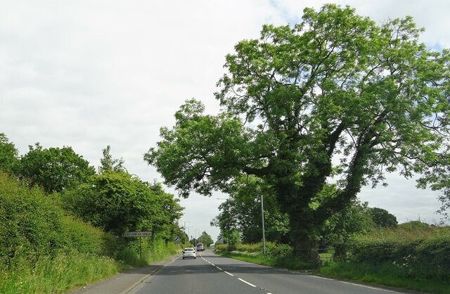
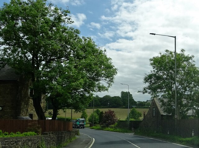
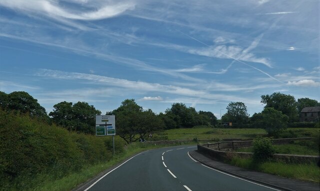
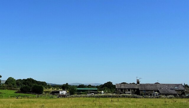
Salesbury is a picturesque village located in the county of Lancashire, in the North West of England. Situated approximately 4 miles north-east of Blackburn, it is nestled within the Ribble Valley and surrounded by stunning countryside. The village is part of the Salesbury civil parish and falls under the jurisdiction of Ribble Valley Borough Council.

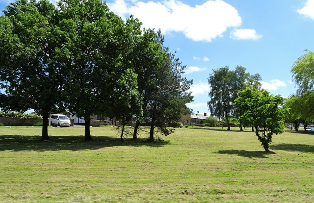
Known for its scenic beauty, Salesbury offers a tranquil and idyllic setting for its residents. The village is characterized by its charming, traditional stone-built houses and well-manicured gardens. The local community takes great pride in maintaining the village's aesthetic appeal, evident in the abundance of floral displays and neatly trimmed hedges.

Salesbury is home to a close-knit community, fostering a strong sense of belonging. The village has a primary school, providing education for the younger residents, and a village hall that serves as a hub for various community events and activities. There is also a local pub, The White Bull, which offers a warm and inviting atmosphere for both locals and visitors alike.

For those who enjoy outdoor pursuits, Salesbury is a haven. The village is surrounded by beautiful countryside, offering numerous opportunities for walking, hiking, and cycling. The nearby Ribble Valley is renowned for its scenic trails and breathtaking views, making it a popular destination for nature enthusiasts.

Overall, Salesbury, Lancashire, is a charming and peaceful village that offers a high quality of life. Its natural beauty, strong community spirit, and proximity to the stunning Ribble Valley make it an attractive place to live and visit.

If you have any feedback on the listing, please let us know in the comments section below.
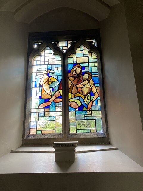
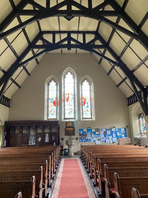
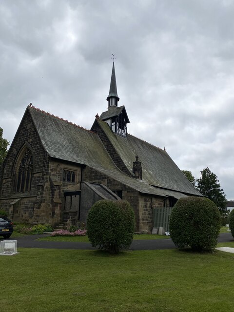
Salesbury Images

Images are sourced within 2km of 53.79117/-2.489329 or Grid Reference SD6732. Thanks to Geograph Open Source API. All images are credited.

A59 at Clayton Le Dale
A59 at Brook Cottage
Oakes Bridge Carrying Ribchester Road (B6245) over Park Brook.
Oakes Bridge
Carrying Ribchester Road (B6245) over Park Brook.
The green at Copster Green A village on the A59.
The green at Copster Green
A village on the A59.
Wheatley Farm Off the A59 near Copster Green.
Wheatley Farm
Off the A59 near Copster Green.
St Peters Stained Glass Window
St Peters Alter
St Peters Alter
St Peters Stained Glass Window
St Peters Modern Stained Glass Window
St Peters Font
St Peters Font
St Peters, Salesbury
OS Cut Mark - Salesbury, Saint Peters Church <span class="nowrap"><a title="https://www.bench-marks.org.uk/bm95593" rel="nofollow ugc noopener" href="https://www.bench-marks.org.uk/bm95593">Link</a><img style="margin-left:2px;" alt="External link" title="External link - shift click to open in new window" src="https://s1.geograph.org.uk/img/external.png" width="10" height="10"/></span>
OS Cut Mark - Salesbury, Saint Peters Church
Location of OS Cut Mark - Salesbury, Saint Peters Church
Ramsgreave and Wilpshire station I took this photo to show my mother because she always said that the family's first cat was a stray that my father found on Wilpshire station when working there in the 1950s. But it turns out that the original Wilpshire station <a href="https://www.geograph.org.uk/photo/4090131">SD6831 : Wilpshire railway station (site), Lancashire</a> was about 400 metres north of here and closed in 1962; this replacement opened in 1994.
Ramsgreave and Wilpshire station
I took this photo to show my mother because she always said that the family's first cat was a stray that my father found on Wilpshire station when working there in the 1950s. But it turns out that the original Wilpshire station SD6831 : Wilpshire railway station (site), Lancashire was about 400 metres north of here and closed in 1962; this replacement opened in 1994.
Ribchester Road Near Oakes Bridge.
Ribchester Road
Near Oakes Bridge.
The Lodge at Eden Holme On Ribchester Road.
The Lodge at Eden Holme
On Ribchester Road.
Brookview Close off Parsonage Road The junction of Brookview Close with Parsonage Road.
Brookview Close off Parsonage Road
The junction of Brookview Close with Parsonage Road.
Junction York Crescent with Parsonage Road The first junction of York Crescent with Parsonage Road when approaching from Parsonage Reservoir going towards Whalley Road Brownhill.
Junction York Crescent with Parsonage Road
The first junction of York Crescent with Parsonage Road when approaching from Parsonage Reservoir going towards Whalley Road Brownhill.
Show me another place!

Salesbury is located at Grid Ref: SD6732 (Lat: 53.79117, Lng: -2.489329)

Administrative County: Lancashire

District: Ribble Valley

Police Authority: Lancashire

What 3 Words

///deep.things.goad. Near Langho, Lancashire

Related Wikis

Salesbury

Salesbury is a village and civil parish in Ribble Valley, located centrally in the county of Lancashire, England. The B6245 road runs straight through...

Clayton-le-Dale

Clayton-le-Dale is a village and civil parish situated on the A59 road near Blackburn, in Lancashire, England. The population of the civil parish as of...

Ramsgreave and Wilpshire railway station

Ramsgreave and Wilpshire is a railway station on the Ribble Valley Line that serves the villages/suburbs of Ramsgreave and Wilpshire, just north of Blackburn...
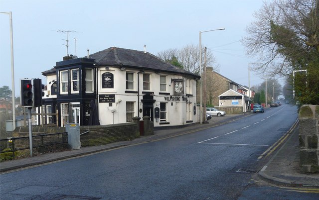
Wilpshire

Wilpshire is a village and civil parish in the county of Lancashire, England. It is 2.5 miles (4.0 km) north of Blackburn, and forms part of the town...
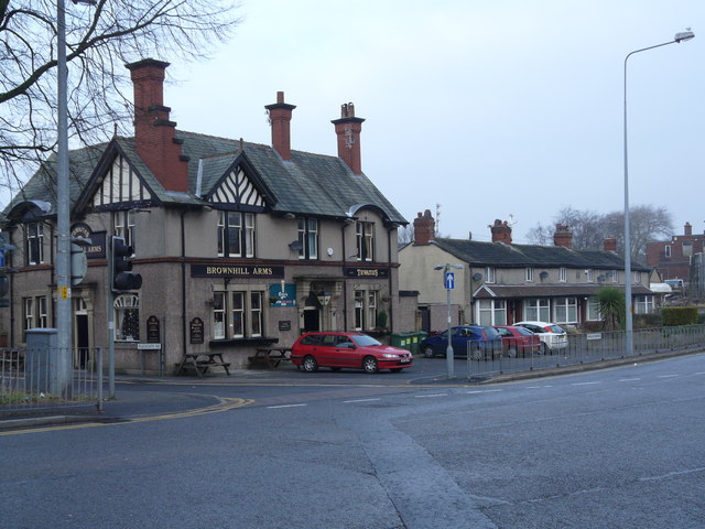
Brownhill

Brownhill is a suburb of Blackburn, in the unitary borough of Blackburn with Darwen, in Lancashire, England. It is situated to the north-east of the town...

Ramsgreave

Ramsgreave is a civil parish in the Ribble Valley district of Lancashire, England. The parish is located on the northern edge of Blackburn although it...

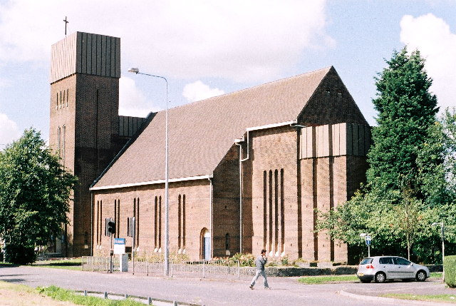
St Gabriel's Church, Blackburn

St Gabriel's is an active English Anglican church in Blackburn, Lancashire. Designed by F. X. Velarde, St Gabriel's is regarded as a milestone in the development...

Pleckgate High School

Pleckgate High School is a mixed, Ofsted rated Outstanding secondary school located in Blackburn, Lancashire, England.Previously a community school and...

Nearby Amenities

Located within 500m of 53.79117,-2.489329
Salesbury
Place: village
Source: npe
Lat/Long: 53.7903995/-2.4857295
Turning Circle
Lat/Long: 53.7898537/-2.4846846
Turning Circle
Lat/Long: 53.7907183/-2.4907885
Turning Circle
Lat/Long: 53.7900191/-2.4881589
Turning Circle
Lat/Long: 53.7891522/-2.4833481
Bus Stop
Naptan AtcoCode: 250015716
Naptan NaptanCode: lanapwad
Public Transport: platform
Lat/Long: 53.7903725/-2.4835758
Booth: K6
Removed Amenity: telephone
Lat/Long: 53.7913416/-2.4860794
Bus Stop
Naptan AtcoCode: 2500IMG1474
Naptan NaptanCode: landtgat
Public Transport: platform
Lat/Long: 53.7904105/-2.4842866
SALASBURY CC
Ele: 143.60
Wpt Description: 29-APR-10 11:09:34
Wpt Symbol: Restaurant
Lat/Long: 53.791456/-2.483091
Turning Circle
Lat/Long: 53.7904269/-2.487883
Barrier: stile
Source: survey
Lat/Long: 53.7914224/-2.4860958
Parking
Lat/Long: 53.790509/-2.4870834
Turning Circle
Lat/Long: 53.7895217/-2.4847507
Generator Method: photovoltaic
Generator Output Electricity: yes
Generator Source: solar
Generator Type: solar_photovoltaic_panel
Location: roof
Power: generator
Lat/Long: 53.7883544/-2.483682
Generator Method: photovoltaic
Generator Output Electricity: yes
Generator Source: solar
Generator Type: solar_photovoltaic_panel
Location: roof
Power: generator
Lat/Long: 53.7883449/-2.4836445
Generator Method: photovoltaic
Generator Output Electricity: yes
Generator Source: solar
Generator Type: solar_photovoltaic_panel
Location: roof
Power: generator
Lat/Long: 53.7910181/-2.4919032
Post Box
Post Box Type: wall
Royal Cypher: GR
Royal Cypher Wikidata: Q33102273
Lat/Long: 53.7913295/-2.4862907
The data included in this document is from www.openstreetmap.org. The data is made available under ODbL.

Have you been to Salesbury?

Leave your review of Salesbury below (or comments, questions and feedback).