Hagg's Wood
Wood, Forest in Lancashire Ribble Valley
England
Hagg's Wood
Hagg's Wood is a picturesque forest located in Lancashire, England. Covering an area of approximately 50 acres, it is a haven for nature enthusiasts and a popular destination for local residents and visitors alike.
The wood is predominantly made up of broadleaf trees such as oak, beech, and birch, creating a diverse and vibrant ecosystem. The dense foliage provides a habitat for a wide variety of flora and fauna, making it a designated Site of Special Scientific Interest.
The forest is crisscrossed by a network of well-maintained footpaths, allowing visitors to explore the wood at their leisure. These pathways wind through ancient trees and lead to open glades, where visitors can relax and soak in the tranquil atmosphere.
Hagg's Wood is home to a rich diversity of wildlife, including deer, badgers, foxes, and a multitude of bird species. Birdwatchers can spot woodpeckers, owls, and various migratory birds during the appropriate seasons.
The wood offers an array of recreational activities for all ages. Families often enjoy picnicking in the designated areas or engaging in nature trails organized by local conservation groups. The wood is also a popular spot for photography enthusiasts, who are drawn to its natural beauty and abundant wildlife.
Hagg's Wood is managed by a local conservation trust, which ensures the preservation of the woodland and its biodiversity. With its peaceful ambiance and natural splendor, Hagg's Wood is a true gem of Lancashire, providing a respite from the hustle and bustle of daily life.
If you have any feedback on the listing, please let us know in the comments section below.
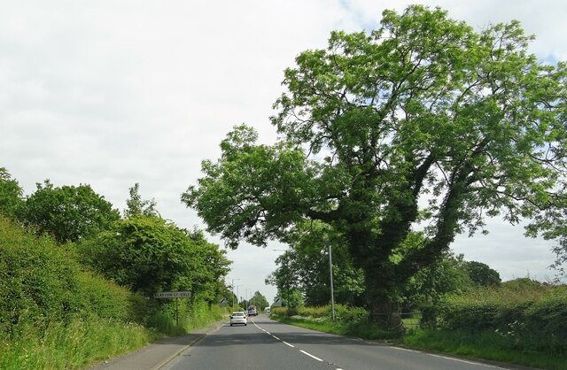
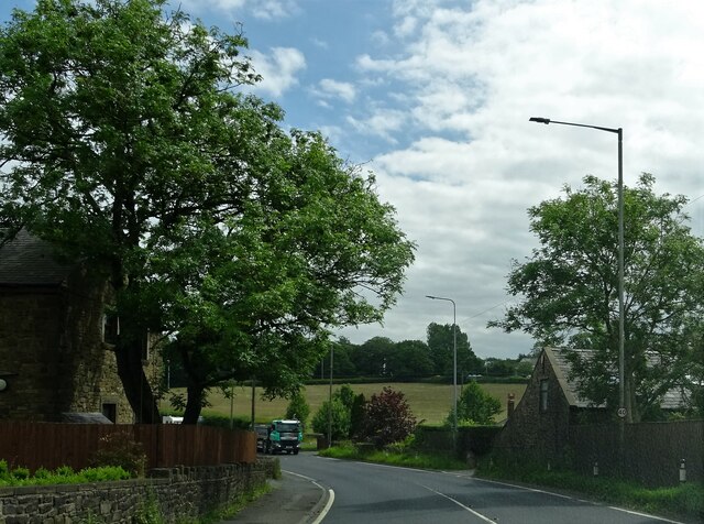
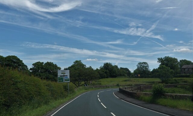
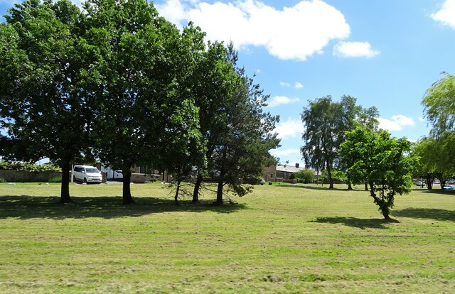
Hagg's Wood Images
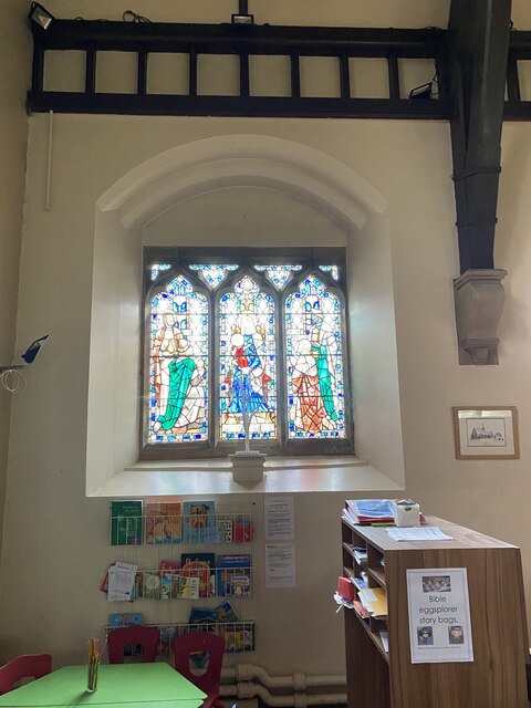
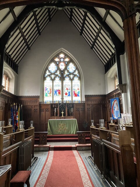
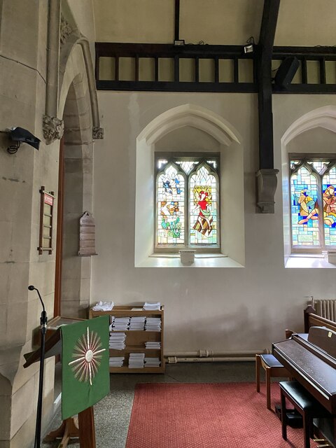
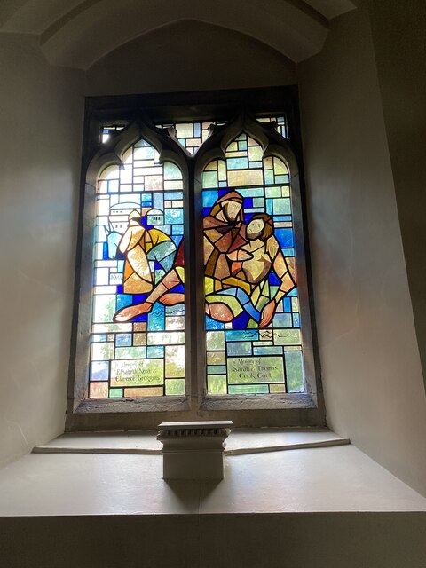
Images are sourced within 2km of 53.783476/-2.494128 or Grid Reference SD6732. Thanks to Geograph Open Source API. All images are credited.


Hagg's Wood is located at Grid Ref: SD6732 (Lat: 53.783476, Lng: -2.494128)
Administrative County: Lancashire
District: Ribble Valley
Police Authority: Lancashire
What 3 Words
///with.final.scale. Near Langho, Lancashire
Nearby Locations
Related Wikis

Ramsgreave and Wilpshire railway station
Ramsgreave and Wilpshire is a railway station on the Ribble Valley Line that serves the villages/suburbs of Ramsgreave and Wilpshire, just north of Blackburn...

Ramsgreave
Ramsgreave is a civil parish in the Ribble Valley district of Lancashire, England. The parish is located on the northern edge of Blackburn although it...
Wilpshire
Wilpshire is a village and civil parish in the county of Lancashire, England. It is 2.5 miles (4.0 km) north of Blackburn, and forms part of the town...
Clayton-le-Dale
Clayton-le-Dale is a village and civil parish situated on the A59 road near Blackburn, in Lancashire, England. The population of the civil parish as of...
Brownhill
Brownhill is a suburb of Blackburn, in the unitary borough of Blackburn with Darwen, in Lancashire, England. It is situated to the north-east of the town...
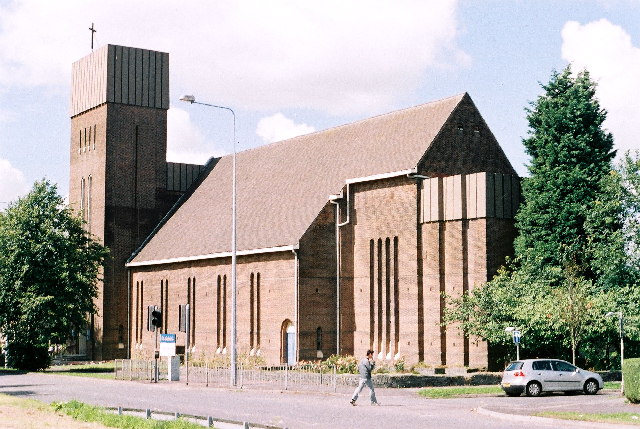
St Gabriel's Church, Blackburn
St Gabriel's is an active English Anglican church in Blackburn, Lancashire. Designed by F. X. Velarde, St Gabriel's is regarded as a milestone in the development...

Salesbury
Salesbury is a village and civil parish in Ribble Valley, located centrally in the county of Lancashire, England. The B6245 road runs straight through...
Pleckgate High School
Pleckgate High School is a mixed, Ofsted rated Outstanding secondary school located in Blackburn, Lancashire, England.Previously a community school and...
Nearby Amenities
Located within 500m of 53.783476,-2.494128Have you been to Hagg's Wood?
Leave your review of Hagg's Wood below (or comments, questions and feedback).