Ashkirk Hill

Hill, Mountain in Roxburghshire

Scotland

Ashkirk Hill

Valley of the Ale Water The road to Ashkirk and the A7 with the Eildon Hills on the skyline.
Valley of the Ale Water Credit: Jim Barton

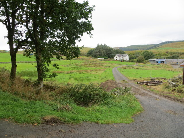
Ashkirk Hill is a prominent hill located in the Scottish county of Roxburghshire. Situated in the southern region of Scotland, it forms part of the beautiful and picturesque landscape of the Scottish Borders.

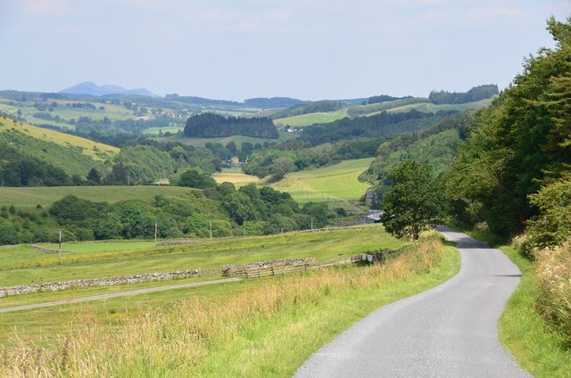
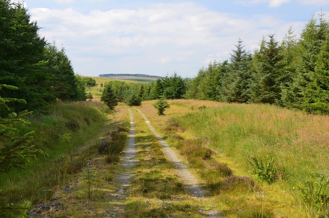
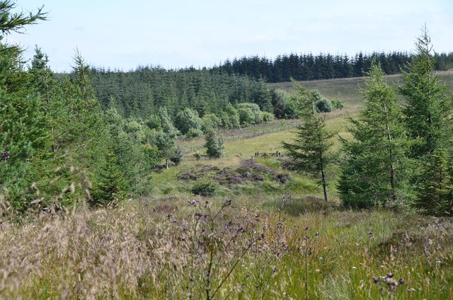
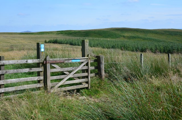
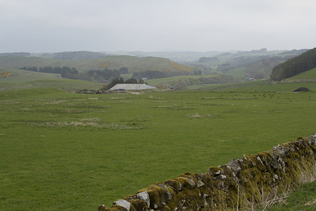
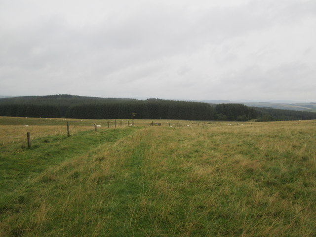
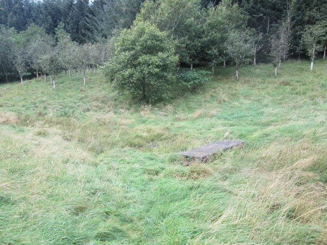
With an elevation of approximately 487 meters (1,598 feet), Ashkirk Hill offers stunning panoramic views of the surrounding countryside. The hill is characterized by its gently sloping terrain, covered in lush green vegetation and dotted with patches of heather. Its prominent position allows visitors to take in breathtaking vistas of rolling hills, meandering rivers, and charming villages that dot the landscape.

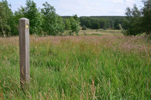
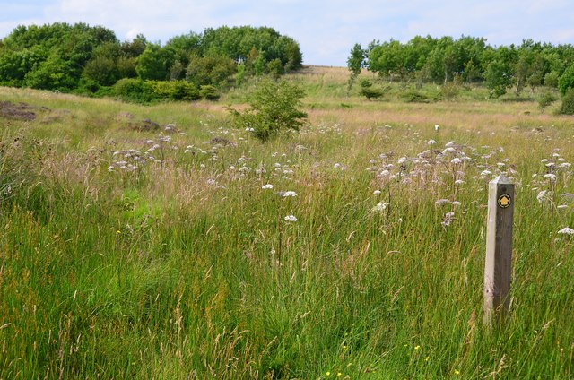
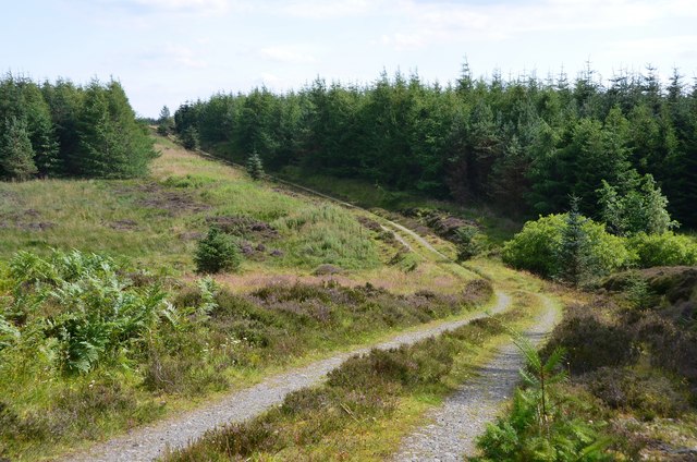
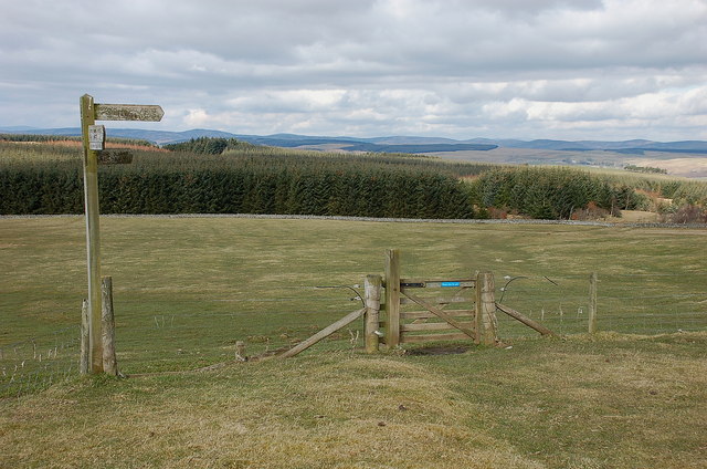
The hill is a popular destination for outdoor enthusiasts, offering a range of activities such as hiking and nature walks. There are well-marked trails that wind their way up to the summit, providing hikers with a relatively easy and enjoyable trek. Along the way, visitors can spot various species of birds and wildlife that inhabit the area, including red grouse and roe deer.

At the top of Ashkirk Hill, there is a cairn that marks the highest point and serves as a landmark for visitors. This spot is an ideal location for picnics, allowing visitors to relax and soak in the breathtaking views while enjoying a meal or a snack.

Overall, Ashkirk Hill is a stunning natural landmark that offers a peaceful retreat for nature lovers and provides visitors with an opportunity to experience the beauty of the Scottish countryside.

If you have any feedback on the listing, please let us know in the comments section below.
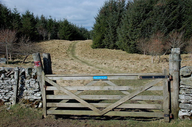
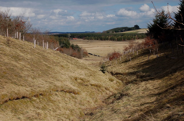
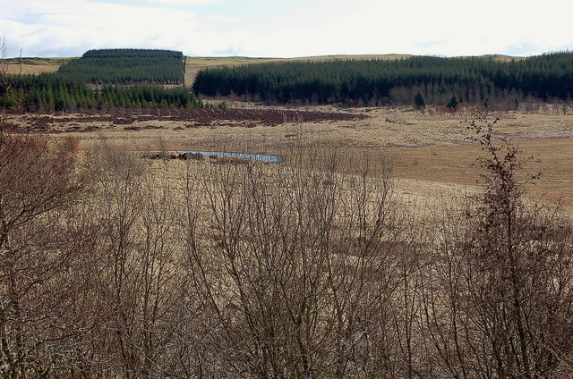
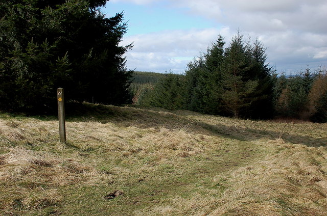
Ashkirk Hill Images

Images are sourced within 2km of 55.471735/-2.8435917 or Grid Reference NT4620. Thanks to Geograph Open Source API. All images are credited.

Valley of the Ale Water The road to Ashkirk and the A7 with the Eildon Hills on the skyline.
Valley of the Ale Water
The road to Ashkirk and the A7 with the Eildon Hills on the skyline.
Marker post, path to forest tracks Evidently not a path that is much used, though the route is given in the 'Paths around Hawick' booklet.
Marker post, path to forest tracks
Evidently not a path that is much used, though the route is given in the 'Paths around Hawick' booklet.
Site of medieval settlement According to the 'Paths around Hawick' guide, this unplanted area E of Shielswood Loch was once the site of a medieval village.
Site of medieval settlement
According to the 'Paths around Hawick' guide, this unplanted area E of Shielswood Loch was once the site of a medieval village.
Forest track In the plantation between Ashkirk Loch and Shielswood Loch.
Forest track
In the plantation between Ashkirk Loch and Shielswood Loch.
Forest track, Moss Knowe Here crossing a small burn draining Blind Moss.
Forest track, Moss Knowe
Here crossing a small burn draining Blind Moss.
Exit from the forest, Moss Knowe The Drove Road to Hawick continues across the moorland ahead. For a reciprocal view, see <a href="https://www.geograph.org.uk/photo/3979590">NT4618 : Drove road, Moss Knowe</a>.
Exit from the forest, Moss Knowe
The Drove Road to Hawick continues across the moorland ahead. For a reciprocal view, see NT4618 : Drove road, Moss Knowe.
Gate to Long Moss On the Hawick Circular Riding Route where it crosses a boggy moorland west of Drinkstone Hill.
Gate to Long Moss
On the Hawick Circular Riding Route where it crosses a boggy moorland west of Drinkstone Hill.
Dropping down to the Ale Valley The road now has dry stone walls and we are descending to the Ale River.
Dropping down to the Ale Valley
The road now has dry stone walls and we are descending to the Ale River.
Borders Abbeys  Way  approaching  gate  and  fingerpost Through gate and head for forestry. This is also the route of the Cross Borders Drove Road
Borders Abbeys Way approaching gate and fingerpost
Through gate and head for forestry. This is also the route of the Cross Borders Drove Road
Footbridge  over  stream  in  Falla  Cleuch
Footbridge over stream in Falla Cleuch
Borders  Abbeys  Way  in  Ashkirk  Forest
Borders Abbeys Way in Ashkirk Forest
Pond  and  newly  resurfaced  forest  track Constant traffic, large stone carrying lorries
Pond and newly resurfaced forest track
Constant traffic, large stone carrying lorries
Access track to Shielswood Farm Looking north-westward.
Access track to Shielswood Farm
Looking north-westward.
Borders Abbeys Way north of Drinkstone Hill The Way continues ahead through the forestry plantation, while the Hawick Circular Riding Route swings right.
Borders Abbeys Way north of Drinkstone Hill
The Way continues ahead through the forestry plantation, while the Hawick Circular Riding Route swings right.
Gate into the forest, Borders Abbeys Way This forest is not given a name on the 1:25,000 map, but extends north to Ashkirk Hill overlooking the Ale Water.
Gate into the forest, Borders Abbeys Way
This forest is not given a name on the 1:25,000 map, but extends north to Ashkirk Hill overlooking the Ale Water.
Falla Cleuch A small valley with the margins of the burn left unplanted apart from some broadleaved trees.
Falla Cleuch
A small valley with the margins of the burn left unplanted apart from some broadleaved trees.
Ashkirk Loch The area of water is much smaller than indicated on the 1:25,000 map.
Ashkirk Loch
The area of water is much smaller than indicated on the 1:25,000 map.
Borders Abbeys Way, Ashkirk Forest Easy walking through this mature plantation.
Borders Abbeys Way, Ashkirk Forest
Easy walking through this mature plantation.
Show me another place!

Ashkirk Hill is located at Grid Ref: NT4620 (Lat: 55.471735, Lng: -2.8435917)

Unitary Authority: The Scottish Borders

Police Authority: The Lothians and Scottish Borders

What 3 Words

///graphics.windmill.tiredness. Near Hawick, Scottish Borders

Related Wikis

Nearby Amenities

Located within 500m of 55.471735,-2.8435917
Natural: peak
Lat/Long: 55.4719208/-2.8441701
The data included in this document is from www.openstreetmap.org. The data is made available under ODbL.

Have you been to Ashkirk Hill?

Leave your review of Ashkirk Hill below (or comments, questions and feedback).