Whiscombe Hill

Hill, Mountain in Somerset South Somerset

England

Whiscombe Hill

Glenmoor at Park Farm Dairy
Glenmoor at Park Farm Dairy Credit: Rob Purvis

Whiscombe Hill is a prominent natural landmark located in the county of Somerset, England. Rising to an elevation of 307 meters (1,007 feet), it is classified as a hill rather than a mountain, but its commanding presence and picturesque surroundings make it a popular destination for hikers and nature enthusiasts.

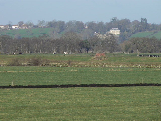
Situated in the Mendip Hills Area of Outstanding Natural Beauty, Whiscombe Hill offers breathtaking panoramic views of the surrounding countryside. The hill is characterized by its gentle slopes and grassy terrain, which is often adorned with colorful wildflowers during the spring and summer months. Its summit provides a vantage point from which visitors can admire the rolling hills, meandering rivers, and quaint villages that dot the landscape.

Whiscombe Hill is also home to a diverse range of flora and fauna. The hill's slopes support a variety of plant species, including heather, gorse, and bracken, while its woodlands provide a habitat for numerous bird species, such as buzzards, kestrels, and owls. In addition, the hill is known for its population of rabbits, badgers, and foxes, which can occasionally be spotted by observant visitors.

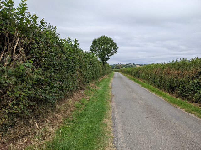
Access to Whiscombe Hill is facilitated by well-maintained footpaths and trails that wind their way up the hillside. These routes offer a range of difficulty levels, catering to both casual walkers and more experienced hikers. Along the way, visitors can expect to encounter charming stone walls, ancient hedgerows, and perhaps even a grazing herd of cattle or sheep.

Overall, Whiscombe Hill is a stunning natural attraction that showcases the beauty of Somerset's countryside. Its accessibility, biodiversity, and scenic surroundings make it an ideal destination for those seeking outdoor adventure and a closer connection with nature.

If you have any feedback on the listing, please let us know in the comments section below.

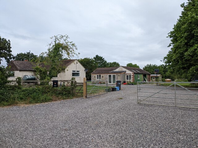
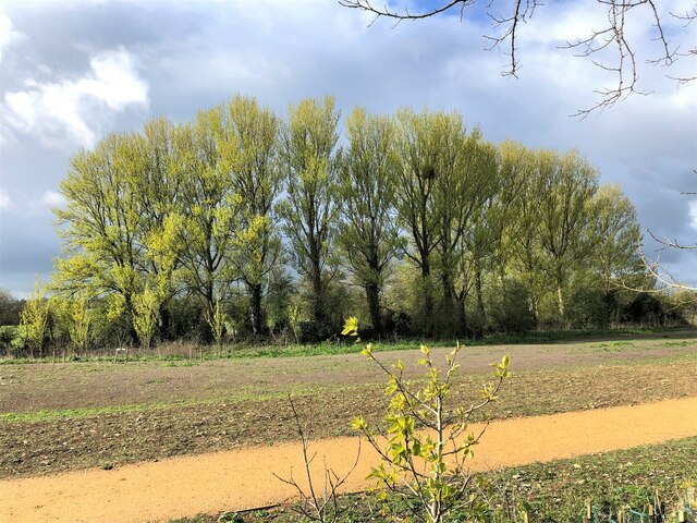
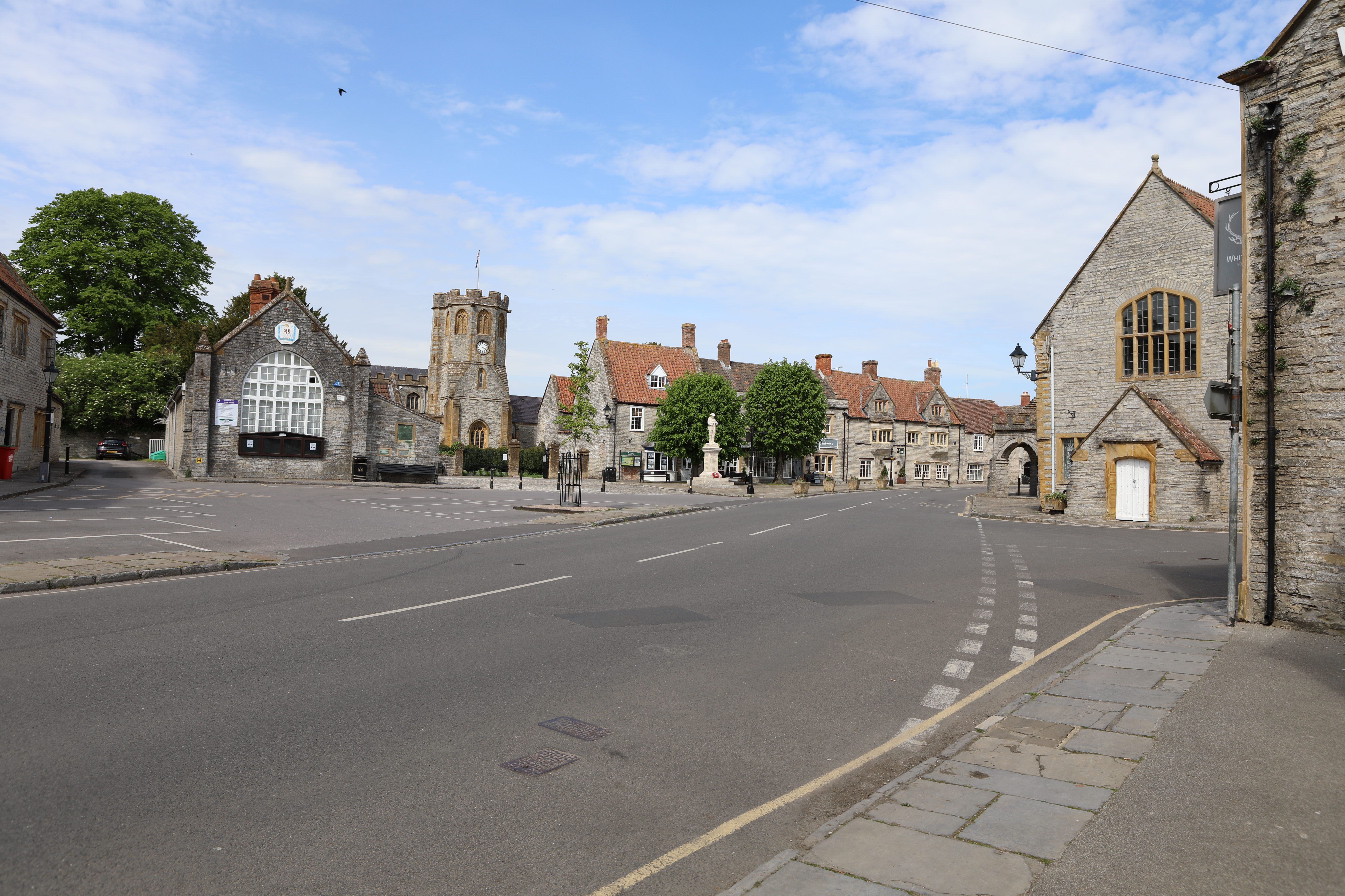
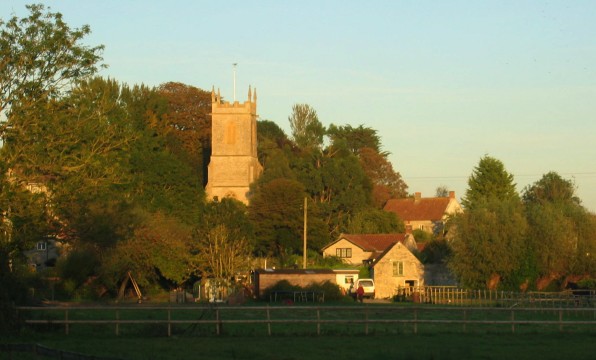
Whiscombe Hill Images

Images are sourced within 2km of 51.061565/-2.7609551 or Grid Reference ST4629. Thanks to Geograph Open Source API. All images are credited.

Glenmoor at Park Farm Dairy
Approach to Somerton
St Michael and All Angels Church, Somerton
Ricksey Park - Somerton Park recently seeded (2021) for community use by developers of Patch Meadows Housing Estate. Trees flourish as they are next to the Mill Stream that winds its way through Somerton to join the River Cary. 
Ricksey or Wrexy or Rixsey lane borders the west edge of this open space.
Ricksey Park - Somerton
Park recently seeded (2021) for community use by developers of Patch Meadows Housing Estate. Trees flourish as they are next to the Mill Stream that winds its way through Somerton to join the River Cary. Ricksey or Wrexy or Rixsey lane borders the west edge of this open space.
New houses on the west side of Somerton
Moor View Farm entrance from Bancombe Road
Bancombe Road heading north past Moor View Farm
Track leaving the road, looking west
Park Lane heading west near Park Farm
Pump at the old Pump House Standing right outside the house is a disused pump, appropriately enough. Next door was a garage with fuel services, but which was demolished a few years ago.
Pump at the old Pump House
Standing right outside the house is a disused pump, appropriately enough. Next door was a garage with fuel services, but which was demolished a few years ago.
Empty post box on St Cleer's An Edward VII postbox (a W.T. Allen product) has lost its lid. See <a href="https://www.geograph.org.uk/photo/7277283">ST4828 : To St Cleers Cottage</a> for a location view.
Empty post box on St Cleer's
An Edward VII postbox (a W.T. Allen product) has lost its lid. See ST4828 : To St Cleers Cottage for a location view.
To St Cleers Cottage The road junction features a small wall-mounted post box - see <a href="https://www.geograph.org.uk/photo/7277279">ST4828 : Empty post box on St Cleer's</a> for a better look.
To St Cleers Cottage
The road junction features a small wall-mounted post box - see ST4828 : Empty post box on St Cleer's for a better look.
Somerton Sports Club Situated in a large open space on Gassons Lane, the facility has lots of different activities and sports on offer. The town's recreation started in 1946 at the Memorial Field before relocation to the seven acre site here following a grant of land by a local family in 1967. Various sporting clubs and organisations have gravitated to the grounds and it is now under the auspices of a charitable trust.
Somerton Sports Club
Situated in a large open space on Gassons Lane, the facility has lots of different activities and sports on offer. The town's recreation started in 1946 at the Memorial Field before relocation to the seven acre site here following a grant of land by a local family in 1967. Various sporting clubs and organisations have gravitated to the grounds and it is now under the auspices of a charitable trust.
Somerton sports pavilion As the facility grew over time, the new Clubhouse lounge bar was opened by famous Somerset C.C. cricketers Ian Botham and Viv Richards in 1985.
Somerton sports pavilion
As the facility grew over time, the new Clubhouse lounge bar was opened by famous Somerset C.C. cricketers Ian Botham and Viv Richards in 1985.
Where the town comes to play Somerton Sports Club is home to many different clubs and sports. The site expanded with the addition of another eleven acres of land by the Mitcham family in 1992, allowing more to be enjoyed.
Where the town comes to play
Somerton Sports Club is home to many different clubs and sports. The site expanded with the addition of another eleven acres of land by the Mitcham family in 1992, allowing more to be enjoyed.
Milestone on the Langport Road Today the stone is missing the metalwork, but has a natty hairdo. It used to read 'Langport 4, Somerton ½'. See <a href="https://www.geograph.org.uk/photo/7277339">ST4728 : The road into Somerton</a> for a wider view into town.
Milestone on the Langport Road
Today the stone is missing the metalwork, but has a natty hairdo. It used to read 'Langport 4, Somerton ½'. See ST4728 : The road into Somerton for a wider view into town.
The road into Somerton The B3153 Langport Road heads into town. At the roadside is an old milestone - see <a href="https://www.geograph.org.uk/photo/7277330">ST4728 : Milestone on the Langport Road</a>.
The road into Somerton
The B3153 Langport Road heads into town. At the roadside is an old milestone - see ST4728 : Milestone on the Langport Road.
New homes on Maple Drive Somerton has grown quite a bit in recent years: here on the north side of Bancombe Road is a large new estate, linking the older parts to the small industrial estate further on.
New homes on Maple Drive
Somerton has grown quite a bit in recent years: here on the north side of Bancombe Road is a large new estate, linking the older parts to the small industrial estate further on.
Show me another place!

Whiscombe Hill is located at Grid Ref: ST4629 (Lat: 51.061565, Lng: -2.7609551)

Administrative County: Somerset

District: South Somerset

Police Authority: Avon and Somerset

What 3 Words

///somewhere.cactus.workroom. Near Langport, Somerset

Nearby Locations

Westcombe Whiscombe Hill

Related Wikis

Mid Somerset Hills

The Mid Somerset Hills are a major natural region in the county of Somerset in southwest west England, forming a series of low hills and ridges that divide...

Somerton, Somerset

Somerton ( SUM-ər-tən) is a town and civil parish in the English county of Somerset. It gave its name to the county and was briefly, around the start of...

Somerton Tunnel

Somerton Tunnel is located between Somerton and Langport on the Reading to Taunton Line in Somerset, England.The tunnel was constructed by the Great Western...

Somerton railway station

Somerton railway station (not to be confused with Fritwell & Somerton) was a railway station situated on the Great Western Railway's Langport and Castle...

Pitney

Pitney is a village and parish in Somerset, England, located 2.5 miles (4.0 km) east of Langport and 3 miles (4.8 km) west of Somerton in the South Somerset...

Wessex (ward)

Wessex is an electoral ward of South Somerset District Council in Somerset, England. It is one of the wards that makes up the parliamentary constituency...

Somerton Viaduct

The Somerton Viaduct is a historic railway viaduct in the town of Somerton in Somerset, England. It is situated on the Langport and Castle Cary Railway...

Old Town Hall, Somerton

The Old Town Hall is a municipal building in the Market Place in Somerton, Somerset, England. The building, which is used as an arts centre, is a Grade...

Nearby Amenities

Located within 500m of 51.061565,-2.7609551
Barrier: lift_gate
Lat/Long: 51.0585535/-2.764532
The data included in this document is from www.openstreetmap.org. The data is made available under ODbL.

Have you been to Whiscombe Hill?

Leave your review of Whiscombe Hill below (or comments, questions and feedback).