Drumnahive Hill

Hill, Mountain in Aberdeenshire

Scotland

Drumnahive Hill

A field of barley near the Kildrummy Inn
A field of barley near the Kildrummy Inn Credit: Gordon Brown

Drumnahive Hill is a prominent hill located in Aberdeenshire, Scotland. It is situated in the eastern part of the county, near the village of Rhynie. Standing at an elevation of approximately 535 meters (1,755 feet), it is considered a notable landmark in the region.

The hill is characterized by its distinct shape and rugged terrain. It features a gently sloping eastern face, while its western side consists of steep cliffs, adding to its dramatic appearance. Drumnahive Hill is primarily composed of granite, which gives it a distinctive reddish-brown color.

The hill is accessible via various footpaths and trails, making it a popular destination for hikers and outdoor enthusiasts. From its summit, one can enjoy breathtaking panoramic views of the surrounding countryside, including the picturesque Rhynie Valley and the nearby Grampian Mountains.

Drumnahive Hill is also renowned for its rich historical significance. Archaeological excavations in the area have revealed the presence of ancient settlements and burial sites dating back to the Iron Age and Pictish eras. Additionally, the hill is home to several standing stones, which are believed to have served as markers or ceremonial monuments.

Overall, Drumnahive Hill offers a unique blend of natural beauty, recreational opportunities, and historical intrigue. Whether it be for a challenging hike or a peaceful retreat, this majestic hill provides visitors with a memorable experience in the heart of Aberdeenshire.

If you have any feedback on the listing, please let us know in the comments section below.

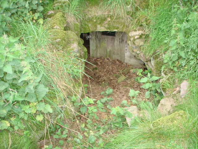
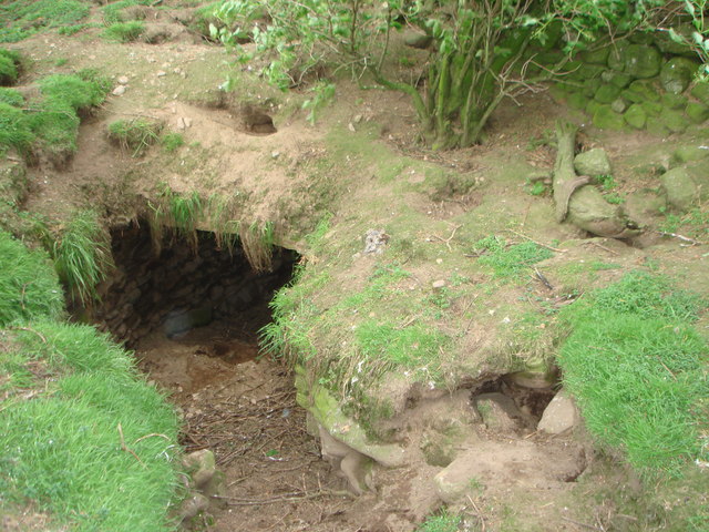
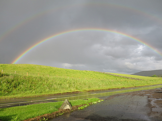
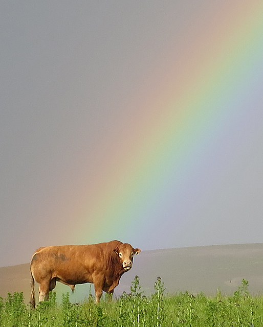
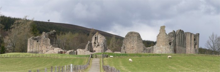
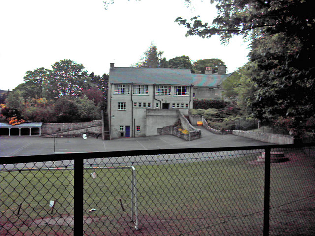
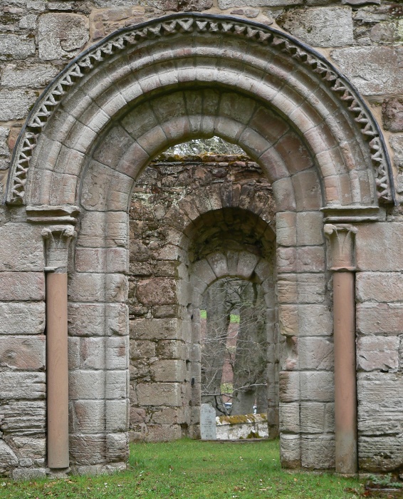
Drumnahive Hill Images

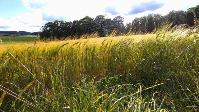
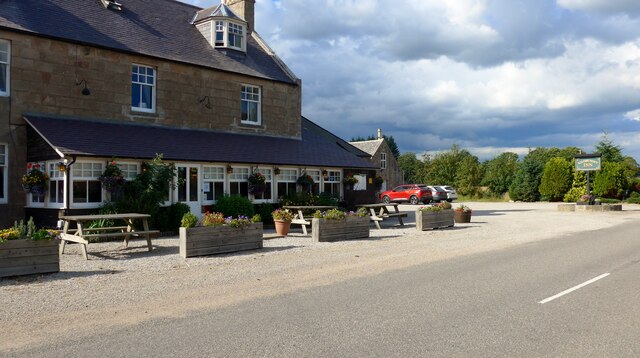
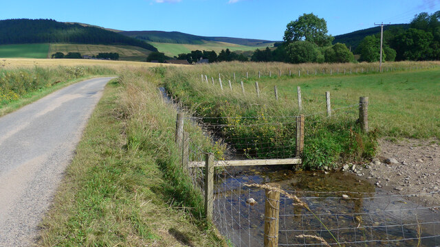
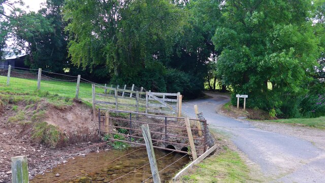
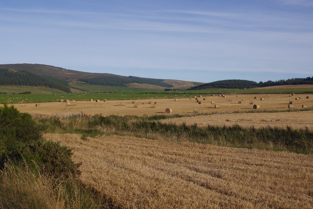
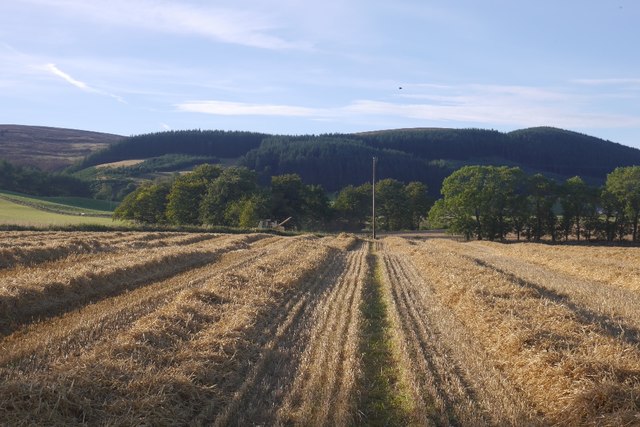
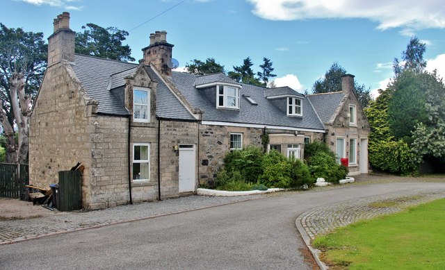
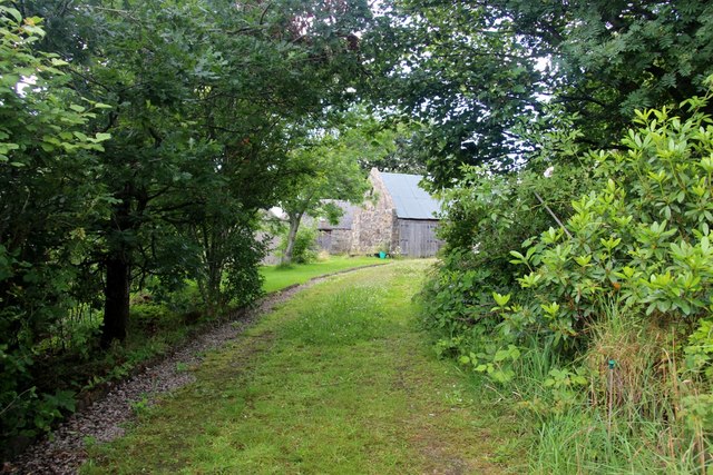
Images are sourced within 2km of 57.254822/-2.8839959 or Grid Reference NJ4618. Thanks to Geograph Open Source API. All images are credited.

A field of barley near the Kildrummy Inn
The Kildrummy Inn Despite the name, this is more a 'restaurant with rooms' with a very high standard of cuisine.  To dine, booking is almost always required.  The rooms are small and inexpensive.
The Kildrummy Inn
Despite the name, this is more a 'restaurant with rooms' with a very high standard of cuisine. To dine, booking is almost always required. The rooms are small and inexpensive.
The Culsh Burn at Kildrummy
The entrance to Malt Croft The Culsh Burn flowing under the track.
The entrance to Malt Croft
The Culsh Burn flowing under the track.
The Burn of Linthaugh at Mossat
Roadside Fountain An ornate fountain, probably originally a drinking fountain. At the time of the photo it was submerged in greenery, but there's a clearer view on Google Streetview.
Roadside Fountain
An ornate fountain, probably originally a drinking fountain. At the time of the photo it was submerged in greenery, but there's a clearer view on Google Streetview.
Souterrain near Kildrummy Entrance to one of the souterrains near Kildrummy - June,2008.
Souterrain near Kildrummy
Entrance to one of the souterrains near Kildrummy - June,2008.
Souterrain near Kildrummy Inside one of the souterrains near Kildrummy - June,2008.
Souterrain near Kildrummy
Inside one of the souterrains near Kildrummy - June,2008.
Souterrain near Kildrummy Entrance to one of the souterrains near Kildrummy - June,2008.
Souterrain near Kildrummy
Entrance to one of the souterrains near Kildrummy - June,2008.
Double Rainbow A break in the clouds at Mossat.
Double Rainbow
A break in the clouds at Mossat.
Pot of Gold If this had been a dairy bull, I could have pointed out that dairy farming is far from a gold mine, as the supermarkets insist on paying less for milk than it costs to produce it. In fact the processing plant in Aberdeen was closed almost without notice, and farmers are having to pay to ship their milk to the Central Belt for processing. How crazy is that? But this fellow isn't bothered by any of that. He's just waiting patiently for the beef industry to implode as well.
Pot of Gold
If this had been a dairy bull, I could have pointed out that dairy farming is far from a gold mine, as the supermarkets insist on paying less for milk than it costs to produce it. In fact the processing plant in Aberdeen was closed almost without notice, and farmers are having to pay to ship their milk to the Central Belt for processing. How crazy is that? But this fellow isn't bothered by any of that. He's just waiting patiently for the beef industry to implode as well.
Harvest time, Kildrummy Round bales and barley awaiting harvesting.
Harvest time, Kildrummy
Round bales and barley awaiting harvesting.
Harvested barley, Kildrummy The combine has just moved on to the neighbouring field.
Harvested barley, Kildrummy
The combine has just moved on to the neighbouring field.
The Mossat Only the antiques shop next door remains in operation. This was once the place to go for a Sunday run. Tea shop, garden centre, water garden and general store have all done business here.
The Mossat
Only the antiques shop next door remains in operation. This was once the place to go for a Sunday run. Tea shop, garden centre, water garden and general store have all done business here.
Tree lined driveway to Howmill
Elphinstone aisle, St Bride's Church The south aisle (wing) was built ca. 1605 (restored 1862) and was presumably part of a T-plan kirk (see: <span class="nowrap"><a title="https://en.wikipedia.org/wiki/Church_architecture_in_Scotland" rel="nofollow ugc noopener" href="https://en.wikipedia.org/wiki/Church_architecture_in_Scotland">Link</a><img style="margin-left:2px;" alt="External link" title="External link - shift click to open in new window" src="https://s1.geograph.org.uk/img/external.png" width="10" height="10"/></span> ) but where was the pulpit?  The rest of St Bride's (Bridget's) kirk is a ruin, having been replaced by the parish kirk next door in 1805.
Elphinstone aisle, St Bride's Church
The south aisle (wing) was built ca. 1605 (restored 1862) and was presumably part of a T-plan kirk (see: LinkExternal link ) but where was the pulpit? The rest of St Bride's (Bridget's) kirk is a ruin, having been replaced by the parish kirk next door in 1805.
'Ane Honorabile Man' Tomb of John Reid (d. 1563), now set into the remains of the north wall of St Bride's kirk, Kildrummy.  The blazon could(?) be azure three stags' heads erased or.
'Ane Honorabile Man'
Tomb of John Reid (d. 1563), now set into the remains of the north wall of St Bride's kirk, Kildrummy. The blazon could(?) be azure three stags' heads erased or.
Lumsden grave slab, Kildrummy kirkyard The sandstone slab from 1730 is sheltered from the elements by wooden shutters.
Lumsden grave slab, Kildrummy kirkyard
The sandstone slab from 1730 is sheltered from the elements by wooden shutters.
Show me another place!

Drumnahive Hill is located at Grid Ref: NJ4618 (Lat: 57.254822, Lng: -2.8839959)

Unitary Authority: Aberdeenshire

Police Authority: North East

What 3 Words

///gathering.coping.motels. Near Alford, Aberdeenshire

Nearby Locations

Drumnahive Hill

Related Wikis

Nearby Amenities

Located within 500m of 57.254822,-2.8839959
Power: pole
Lat/Long: 57.2515994/-2.8784132
Power: pole
Lat/Long: 57.2523778/-2.8781278
Power: pole
Lat/Long: 57.2531392/-2.8778158
Power: pole
Lat/Long: 57.2537488/-2.8772886
Material: wood
Power: pole
Lat/Long: 57.2543872/-2.8767251
Material: wood
Power: pole
Lat/Long: 57.2549994/-2.8761906
Power: pole
Lat/Long: 57.2586555/-2.8873783
The data included in this document is from www.openstreetmap.org. The data is made available under ODbL.

Have you been to Drumnahive Hill?

Leave your review of Drumnahive Hill below (or comments, questions and feedback).