Cleeve Toot

Hill, Mountain in Somerset

England

Cleeve Toot

Goblin Combe Pleasant walks, a few climbable rock outcrops and a lot of trees
Goblin Combe Credit: Doug Lee

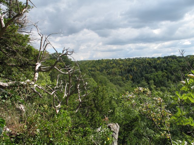
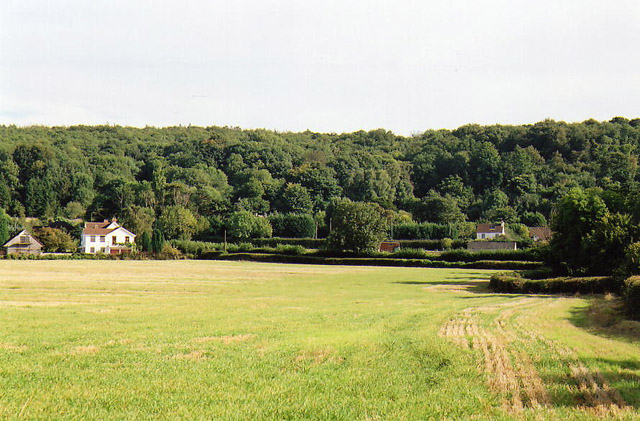
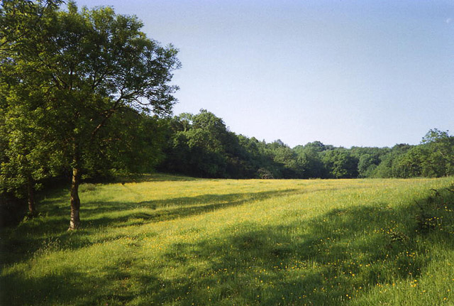
Cleeve Toot is a prominent hill located in Somerset, England. With an elevation of 330 meters (1,083 feet), it is considered one of the highest points in the region. Situated on the southeastern edge of the Mendip Hills, Cleeve Toot offers breathtaking panoramic views of the surrounding countryside.

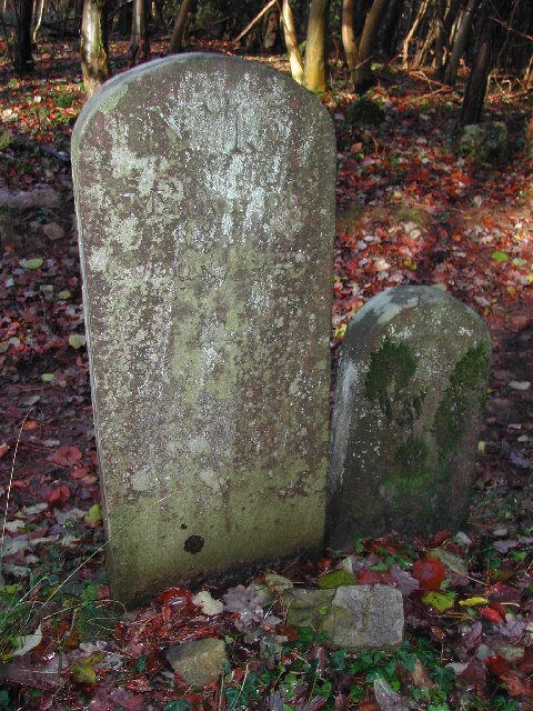
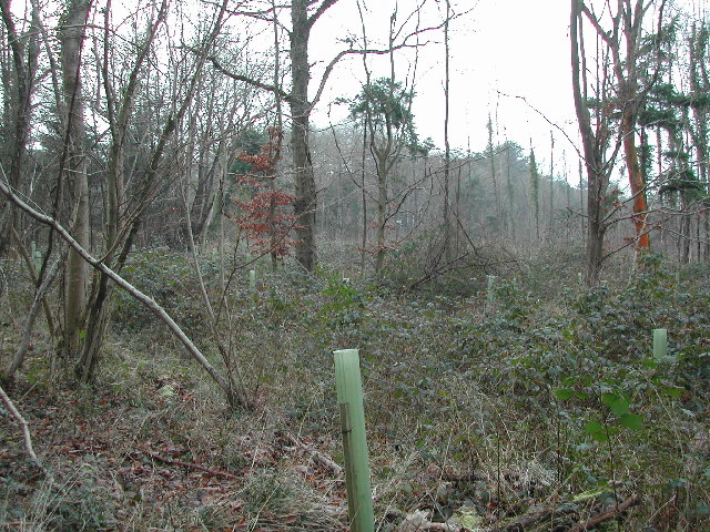
The hill is predominantly composed of limestone, which has been shaped over time by natural erosion processes. This geological composition has resulted in the formation of characteristic features such as gorges, caves, and sinkholes in the area. Cleeve Toot is also home to several ancient burial mounds, which provide evidence of human habitation in the region dating back to prehistoric times.

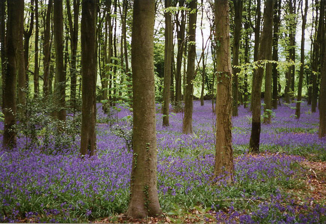
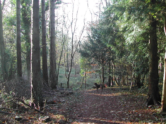
The hill is a popular destination for outdoor enthusiasts, offering a variety of recreational activities. Hiking and walking trails crisscross the area, allowing visitors to explore the diverse flora and fauna of the region. The hill is also a favored spot for paragliding and hang gliding, with its strong thermals and favorable wind conditions attracting adrenaline seekers from far and wide.

Cleeve Toot is part of the Mendip Hills Area of Outstanding Natural Beauty, ensuring its conservation and protection. The surrounding land is predominantly used for agriculture, with pastoral farming being the primary activity. The hill's location also provides important habitat for various wildlife species, including birds of prey, bats, and rare plant species.

In conclusion, Cleeve Toot is a notable hill in Somerset, offering stunning views, recreational opportunities, and ecological diversity. Its geological and historical significance, combined with its natural beauty, make it a cherished landmark in the region.

If you have any feedback on the listing, please let us know in the comments section below.
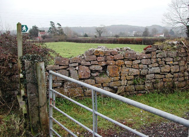
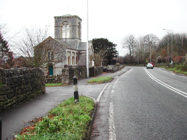
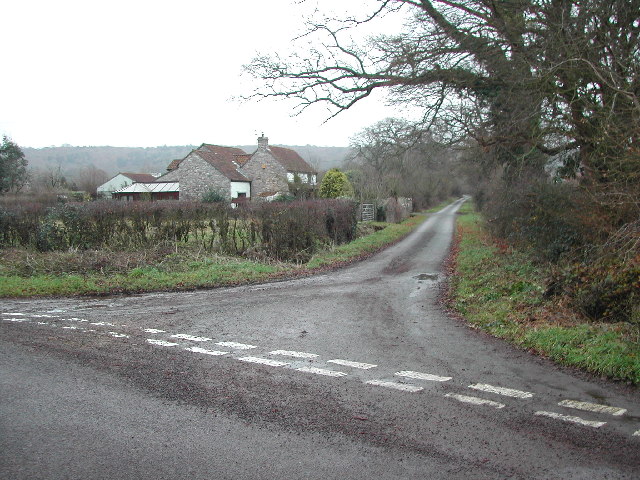
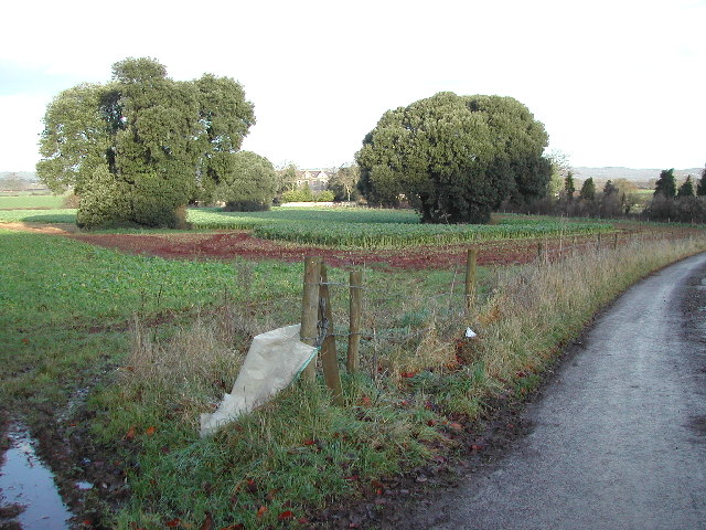
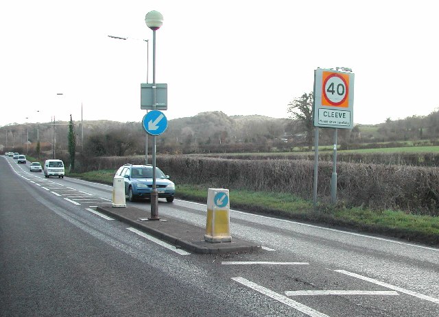
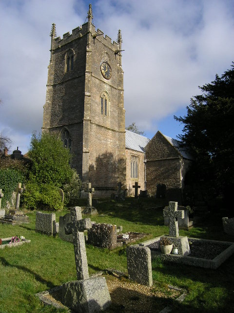
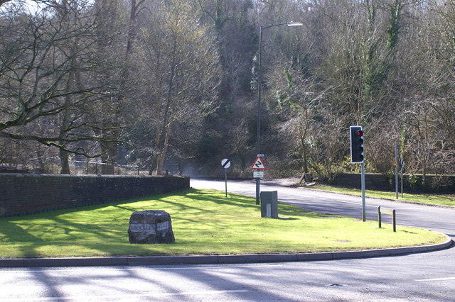
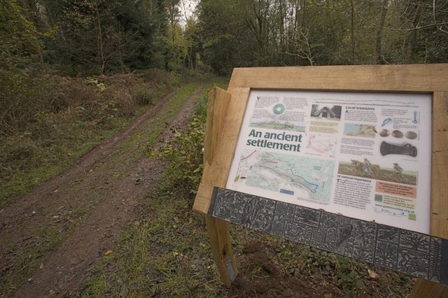
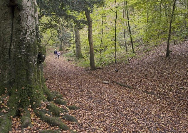
Cleeve Toot Images

Images are sourced within 2km of 51.386943/-2.7664277 or Grid Reference ST4665. Thanks to Geograph Open Source API. All images are credited.

Goblin Combe Pleasant walks, a few climbable rock outcrops and a lot of trees
Goblin Combe
Pleasant walks, a few climbable rock outcrops and a lot of trees
Cleeve: bluebell wood By the road linking Cleeve and Wrington
Cleeve: bluebell wood
By the road linking Cleeve and Wrington
King's Wood - typical scenery This part of King's Wood is owned by the Vincent Wildlife Trust <span class="nowrap"><a title="http://www.vwt.org.uk/" rel="nofollow ugc noopener" href="http://www.vwt.org.uk/">Link</a><img style="margin-left:2px;" alt="External link" title="External link - shift click to open in new window" src="https://s1.geograph.org.uk/img/external.png" width="10" height="10"/></span>.  Minimally managed woodland with public access through most of it.  Excellent for wildlife and fauna, especially bluebells in spring.
King's Wood - typical scenery
This part of King's Wood is owned by the Vincent Wildlife Trust LinkExternal link. Minimally managed woodland with public access through most of it. Excellent for wildlife and fauna, especially bluebells in spring.
King's Wood - Boundary Stones Many of these boundary stones appear throughout the wood and more in the surrounding area. There are several of the larger stones marked "Manor of Congresbury" - this one being "No. 15" in the wood with more examples around the nearby villages of Congresbury and Yatton. The smaller "TW" stones appear more frequently throughout the woods but are generally to be found off the paths.
King's Wood - Boundary Stones
Many of these boundary stones appear throughout the wood and more in the surrounding area. There are several of the larger stones marked "Manor of Congresbury" - this one being "No. 15" in the wood with more examples around the nearby villages of Congresbury and Yatton. The smaller "TW" stones appear more frequently throughout the woods but are generally to be found off the paths.
Cleeve: south east to Cleeve Hill The A370 Bristol – Weston-super-Mare road runs left to right across the image hidden between hedges, near the houses and by the telegraph poles. Seen from Littlewood Lane, known locally as Lipsey Lane
Cleeve: south east to Cleeve Hill
The A370 Bristol – Weston-super-Mare road runs left to right across the image hidden between hedges, near the houses and by the telegraph poles. Seen from Littlewood Lane, known locally as Lipsey Lane
Cleeve: field path to King’s Wood Looking south
Cleeve: field path to King’s Wood
Looking south
King's Wood/Corporation Wood Typical scrubland in this relatively unmanaged wood. Much of this woodland is managed by the Vincent Wildlife Trust for bat conservation <span class="nowrap"><a title="http://www.vwt.org.uk/" rel="nofollow ugc noopener" href="http://www.vwt.org.uk/">Link</a><img style="margin-left:2px;" alt="External link" title="External link - shift click to open in new window" src="https://s1.geograph.org.uk/img/external.png" width="10" height="10"/></span>
King's Wood/Corporation Wood
Typical scrubland in this relatively unmanaged wood. Much of this woodland is managed by the Vincent Wildlife Trust for bat conservation LinkExternal link
Replanted areas in the north of this grid square Parts of the northern end of this grid square have been cleared for replanting of firs. This area also provides roosts for pheasant which are bred locally.
Replanted areas in the north of this grid square
Parts of the northern end of this grid square have been cleared for replanting of firs. This area also provides roosts for pheasant which are bred locally.
View South East over grid square
Cleeve Church on the A370
Littlewood Lane from Brockley Way
Towards Brockley Court Home Viewed from the A370 looking North along St. Nicholas Way.
Towards Brockley Court Home
Viewed from the A370 looking North along St. Nicholas Way.
Cleeve on the A370 Looking Eastwards across the grid square towards Cleeve Toot.
Cleeve on the A370
Looking Eastwards across the grid square towards Cleeve Toot.
Brockley, St Nicholas Church Straddles the line across two squares but according to the Churches Conservation Trust GR is ST 466670- see <span class="nowrap"><a title="http://www.visitchurches.org.uk/text-only/GazatteerChurch.asp?ChurchID=g_268" rel="nofollow ugc noopener" href="http://www.visitchurches.org.uk/text-only/GazatteerChurch.asp?ChurchID=g_268">Link</a><img style="margin-left:2px;" alt="External link" title="External link - shift click to open in new window" src="https://s1.geograph.org.uk/img/external.png" width="10" height="10"/></span>
Brockley, St Nicholas Church
Straddles the line across two squares but according to the Churches Conservation Trust GR is ST 466670- see LinkExternal link
Brockley Combe Entrance Start of Brockley Combe from the A370 end.
Brockley Combe Entrance
Start of Brockley Combe from the A370 end.
Cleeve Toot hill fort This is the information board for Cleeve Toot, a late Bronze Age or early Iron Age hill fort close to Bristol. The site has not yet been excavated, and it now in dense woodland at the edge of Cleeve Wood.
Cleeve Toot hill fort
This is the information board for Cleeve Toot, a late Bronze Age or early Iron Age hill fort close to Bristol. The site has not yet been excavated, and it now in dense woodland at the edge of Cleeve Wood.
Cleeve Wood Woodland walk through Cleeve Wood, which contains various bronze and iron age sites.
Cleeve Wood
Woodland walk through Cleeve Wood, which contains various bronze and iron age sites.
Goblin Combe cliffs Looking towards King's Wood over Goblin Combe.
Goblin Combe cliffs
Looking towards King's Wood over Goblin Combe.
Show me another place!

Cleeve Toot is located at Grid Ref: ST4665 (Lat: 51.386943, Lng: -2.7664277)

Unitary Authority: North Somerset

Police Authority: Avon and Somerset

What 3 Words

///adapt.convinced.professed. Near Brockley, Somerset

Related Wikis

Related Videos

First Run of 2021

My First Run of 2021 A Cold Crisp New Years Day Run in North Somerset, UK Filmed on GoPro Hero8 Edited on Davinci Resolve ...

Walking the Planks

The story of seaside piers in North Somerset at Clevedon and Weston-Super-Mare.

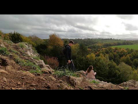
Goblin Combe - Outdoor Hike - Easy Walk in Somerset UK

gopro #goprohero9 #hike #hikerlife #explore #lifestyle #outdoors #outdoor #Somerset #uk #couple #travel #forest #forestsounds ...

Nearby Amenities

Located within 500m of 51.386943,-2.7664277
Cleeve Toot
Ele: 90
Natural: peak
Lat/Long: 51.3866836/-2.7734824
Goblin Combe
Place: locality
Lat/Long: 51.3843004/-2.7654619
Cleeve Combe
Place: locality
Lat/Long: 51.3887194/-2.7727575
Goblin Combe Environment Centre
Office: educational_institution
Lat/Long: 51.383052/-2.7647592
Elrond
Shop: outdoor
Lat/Long: 51.3850135/-2.7663179
The Black Riders
Tourism: viewpoint
Lat/Long: 51.3852798/-2.7629293
Esgaroth
Tourism: viewpoint
Lat/Long: 51.3851628/-2.7640404
Saruman
Tourism: viewpoint
Lat/Long: 51.3851438/-2.7634752
Combination Buttress
Tourism: viewpoint
Lat/Long: 51.3888282/-2.7720685
Bombur
Tourism: viewpoint
Lat/Long: 51.3850518/-2.7664687
Bard the Bowman
Tourism: viewpoint
Lat/Long: 51.3850173/-2.7664086
Legolas
Tourism: viewpoint
Lat/Long: 51.3849241/-2.7655203
Esgaroth
Tourism: viewpoint
Lat/Long: 51.384902/-2.7652391
Obelisk
Tourism: viewpoint
Lat/Long: 51.3849596/-2.7657538
The data included in this document is from www.openstreetmap.org. The data is made available under ODbL.

Have you been to Cleeve Toot?

Leave your review of Cleeve Toot below (or comments, questions and feedback).