Blackrock

Settlement in Argyllshire

Scotland

Blackrock

Cattle grazing beside A847 Grass lies at both sides of the unfenced A847 at the northern end of Loch Indaal and cattle wander freely from side to side of the road.
Cattle grazing beside A847 Credit: Trevor Littlewood

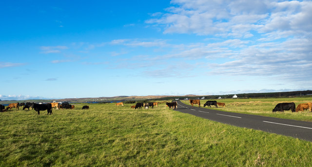
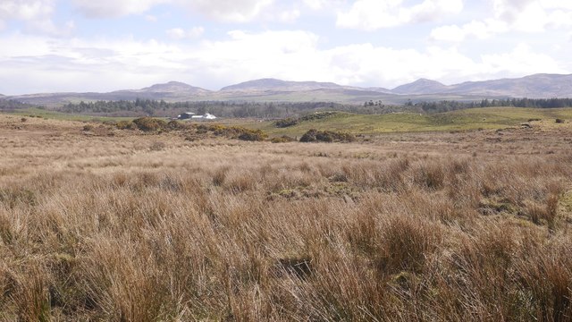
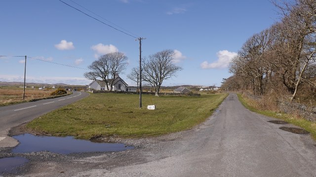
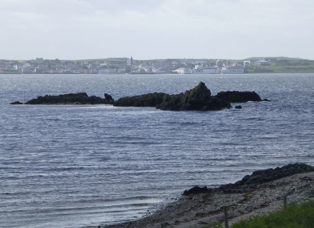
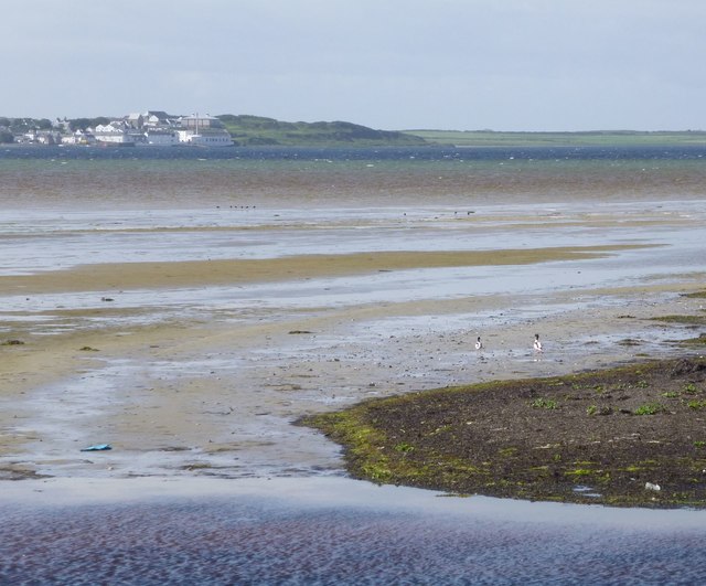
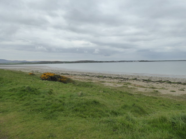
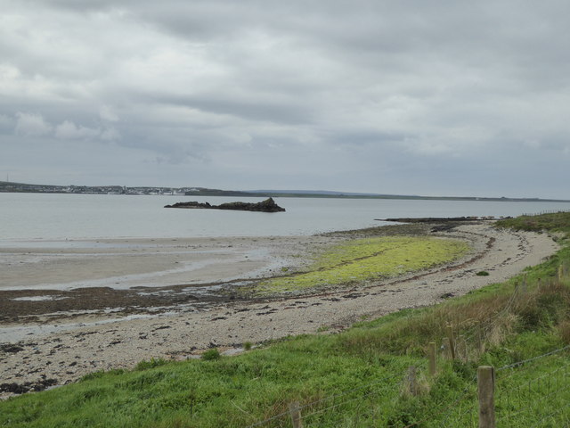
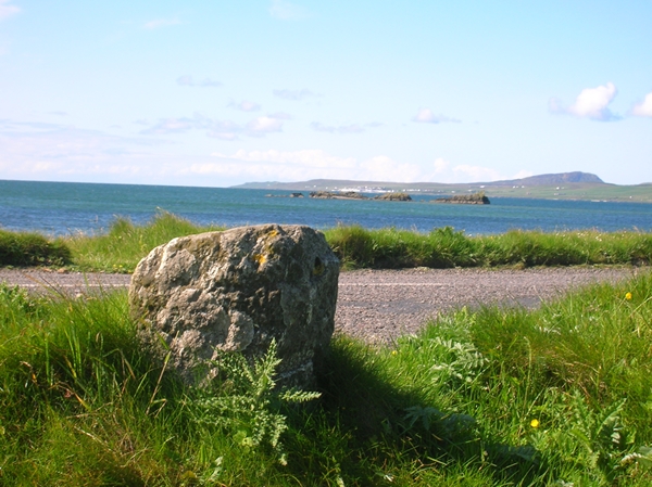
Blackrock, located in Argyllshire, Scotland, is a picturesque coastal village nestled on the western coast of the country. Situated on the shores of Loch Striven, it offers breathtaking views of the surrounding hills and the tranquil waters of the loch.

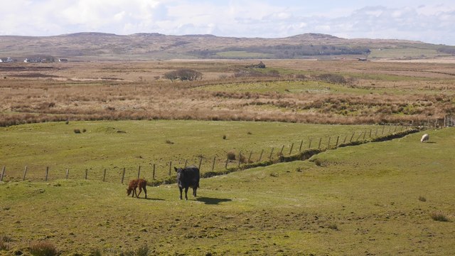
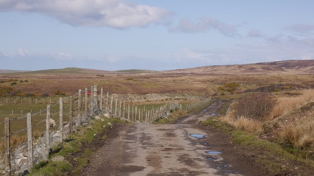
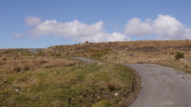
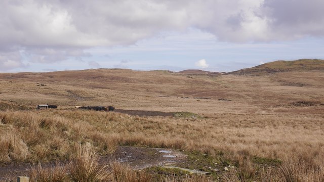
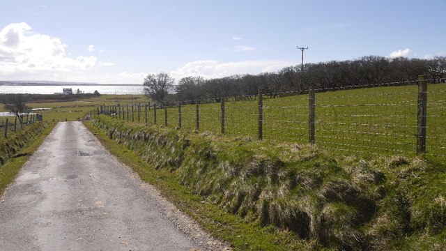
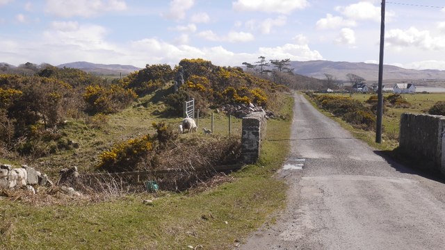
Blackrock is renowned for its unspoiled natural beauty, making it a popular destination for visitors seeking a serene getaway. The village is characterized by its charming stone cottages, which add to the rustic appeal of the area. The surrounding landscape is dominated by rolling hills, verdant forests, and rugged cliffs, creating a stunning backdrop for outdoor activities such as hiking, birdwatching, and fishing.

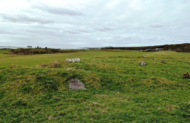
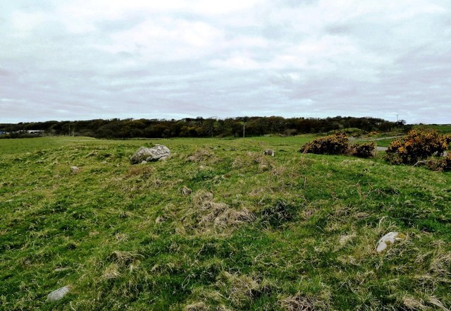
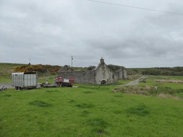
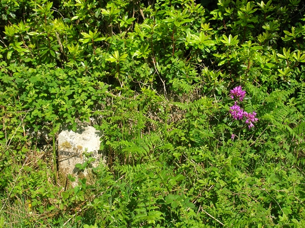
Despite its small size, Blackrock boasts a strong sense of community, with friendly locals who take pride in their village's heritage. The village has a rich history, dating back to ancient times, and remnants of its past can still be seen in the form of archaeological sites and historic landmarks.

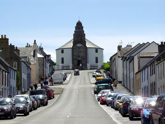
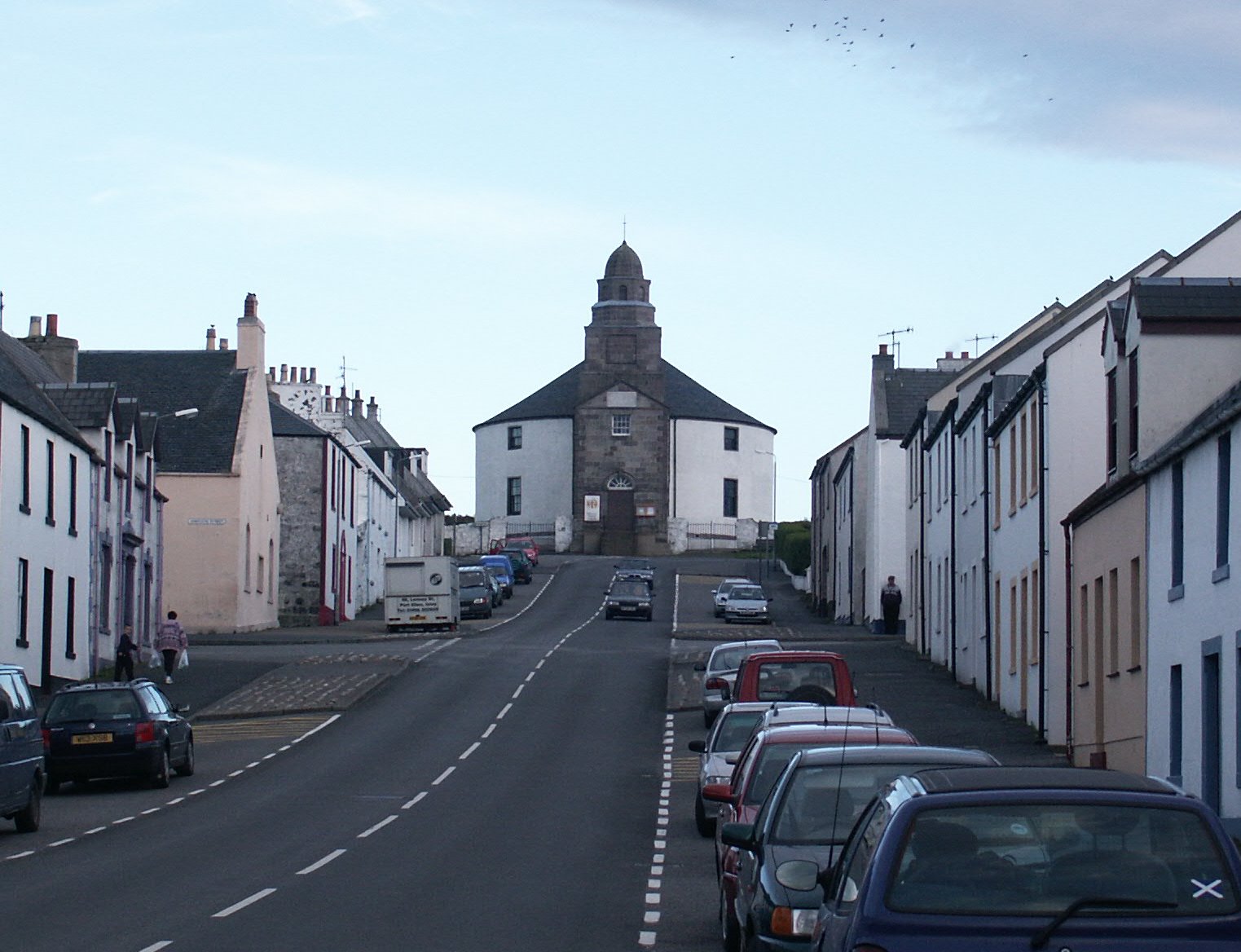
For those interested in exploring the area further, Blackrock serves as a convenient base for discovering other attractions in Argyllshire. Nearby, visitors can explore the charming town of Inveraray, famous for its striking castle and picturesque main street. Additionally, the area is dotted with numerous castles, historic sites, and nature reserves, offering endless opportunities for exploration and discovery.

Overall, Blackrock, Argyllshire offers a tranquil escape amidst stunning natural beauty, making it an ideal destination for nature lovers and those seeking a peaceful retreat in the Scottish countryside.

If you have any feedback on the listing, please let us know in the comments section below.

Blackrock Images

Images are sourced within 2km of 55.785108/-6.2996125 or Grid Reference NR3063. Thanks to Geograph Open Source API. All images are credited.

Cattle grazing beside A847 Grass lies at both sides of the unfenced A847 at the northern end of Loch Indaal and cattle wander freely from side to side of the road.
Cattle grazing beside A847
Grass lies at both sides of the unfenced A847 at the northern end of Loch Indaal and cattle wander freely from side to side of the road.
Cow and calf, Lagstoban
Single track road, Islay Between Loch Indaal and the Gruinart Flats via Borichill.  It is unfenced with cattlegrids.
Single track road, Islay
Between Loch Indaal and the Gruinart Flats via Borichill. It is unfenced with cattlegrids.
Single track road, Borichill Between Bridgend and Gruinart, the road is largely unfenced with cattle grids.
Single track road, Borichill
Between Bridgend and Gruinart, the road is largely unfenced with cattle grids.
Rough grazing, Carrabus Rough ground, grazed by cattle.
Rough grazing, Carrabus
Rough ground, grazed by cattle.
Islay hill grazing Cattle on rough ground above Carrabus.
Islay hill grazing
Cattle on rough ground above Carrabus.
Single track road, Carrabus View towards Loch Indaal.
Single track road, Carrabus
View towards Loch Indaal.
Crossing the Carrabus burn A ewe and lambs beside the burn which is crossed here by a single track road.
Crossing the Carrabus burn
A ewe and lambs beside the burn which is crossed here by a single track road.
Carnain A road junction at the head of Loch Indaal with a single track road taking a bendy route over rough grazing for Gruinart.
Carnain
A road junction at the head of Loch Indaal with a single track road taking a bendy route over rough grazing for Gruinart.
Possible Ancient Cairn Near West Carrabus I stopped to look for the stone marked on the Explorer Map on the edge of this square. I didn't find any large, single stone but spotted this mound containing a number of smaller stones. Islay has other sites showing this arrangement, many of which are prehistoric in origin. It's not always possible to be sure but the location of this site is consistent with other proven examples.
Possible Ancient Cairn Near West Carrabus
I stopped to look for the stone marked on the Explorer Map on the edge of this square. I didn't find any large, single stone but spotted this mound containing a number of smaller stones. Islay has other sites showing this arrangement, many of which are prehistoric in origin. It's not always possible to be sure but the location of this site is consistent with other proven examples.
Possible Ancient Cairn I stopped to look for the stone marked on the Explorer Map on the edge of this square. I didn't find any large, single stone but spotted this mound containing a number of smaller stones. Islay has other sites showing this arrangement, many of which are prehistoric in origin. It's not always possible to be sure but the location of this site is consistent with other proven examples.
Possible Ancient Cairn
I stopped to look for the stone marked on the Explorer Map on the edge of this square. I didn't find any large, single stone but spotted this mound containing a number of smaller stones. Islay has other sites showing this arrangement, many of which are prehistoric in origin. It's not always possible to be sure but the location of this site is consistent with other proven examples.
Carraig Dhubh Offshore rocks at Blackrock.
Carraig Dhubh
Offshore rocks at Blackrock.
Shelducks on the beach Bowmore Distillery across Loch Indaal.
Shelducks on the beach
Bowmore Distillery across Loch Indaal.
Shoreline, Tràigh na Carraige Duibhe
Looking towards Carraig Dhubh
Ruin at Blackrock Farm, Islay
Old Milestone by the A847, east of Blackrock, Islay By the A847, in parish of Killarow & Kilmeny (Islay District), East of Blackrock, landward side of road, facing Loch Indaal.

Inscription once read:-
: (Port Charlotte 5¾) : : (Bridgend 2) :

Surveyed

Milestone Society National ID: AB_IBRPC02.
Old Milestone by the A847, east of Blackrock, Islay
By the A847, in parish of Killarow & Kilmeny (Islay District), East of Blackrock, landward side of road, facing Loch Indaal. Inscription once read:- : (Port Charlotte 5¾) : : (Bridgend 2) : Surveyed Milestone Society National ID: AB_IBRPC02.
Old Milestone by the A847, Killarow and Kilmeny parish Stone post by the A847, in parish of Killarow & Kilmeny (Islay District), near West end of wood, almost hidden under bracken, opposite single tree, North side of road.

Inscription reads:-
: BRIDGEND / 1 : : PORT / CHARLOTTE / 6¾ :

Surveyed

Milestone Society National ID: AB_IBRPC01
Old Milestone by the A847, Killarow and Kilmeny parish
Stone post by the A847, in parish of Killarow & Kilmeny (Islay District), near West end of wood, almost hidden under bracken, opposite single tree, North side of road. Inscription reads:- : BRIDGEND / 1 : : PORT / CHARLOTTE / 6¾ : Surveyed Milestone Society National ID: AB_IBRPC01
Show me another place!

Blackrock is located at Grid Ref: NR3063 (Lat: 55.785108, Lng: -6.2996125)

Unitary Authority: Argyll and Bute

Police Authority: Argyll and West Dunbartonshire

What 3 Words

///smaller.eliminate.laser. Near Bridgend, Argyll & Bute

Related Wikis

Bridgend Flats

Bridgend Flats is an area of mudflats and saltmarsh near the village of Bridgend on the island of Islay off the west coast of Scotland. Covering an area...

Islay House

Islay House is a Category A listed country house near Bridgend, Islay in the county of Argyll, in western Scotland on the shores of Loch Indaal. ��2�...

Bridgend, Islay

Bridgend (Scottish Gaelic: Beul an Àtha) is a village on the Inner Hebrides island of Islay off the western coast of Scotland at the tip of Loch Indaal...

Bowmore distillery

Bowmore distillery ( boh-MOR, Scottish Gaelic: Taigh-staile Bogh Mòr) produces Scotch whisky on the Isle of Islay, an island of the Inner Hebrides.The...

RAF Bowmore

Royal Air Force Bowmore or more simply RAF Bowmore is a former Royal Air Force seaplane station located in Bowmore, Argyll and Bute, Scotland. The following...

Bowmore

Bowmore (Scottish Gaelic: Bogh Mòr, 'Big Bend') is a small town on the Scottish island of Islay. It serves as administrative capital of the island, and...

Kilarrow Parish Church

Kilarrow Church (Scottish Gaelic: Eaglais Cill an Rubha) is a Church of Scotland parish church, overlooking and serving Bowmore on the island of Islay...

Islay Hospital

Islay Hospital is a community hospital in Gortanvogie Road, Bowmore, Scotland. It is managed by NHS Highland. == History == The facility has its origins...

Nearby Amenities

Located within 500m of 55.785108,-6.2996125
Post Box
Ref: PA44 4
Ref GB Uprn: 10015310012
Lat/Long: 55.7852058/-6.2991633
Power: pole
Lat/Long: 55.7856914/-6.296311
Power: pole
Lat/Long: 55.7858647/-6.3012284
Power: pole
Lat/Long: 55.7853382/-6.2963845
Power: pole
Lat/Long: 55.7862392/-6.2962227
Power: pole
Lat/Long: 55.7886294/-6.2957726
Power: pole
Lat/Long: 55.7860497/-6.306057
Material: wood
Power: pole
Lat/Long: 55.786089/-6.3069656
Power: pole
Lat/Long: 55.7852205/-6.3018073
Power: pole
Lat/Long: 55.7859047/-6.3022723
Power: pole
Lat/Long: 55.7859533/-6.3035426
Power: pole
Lat/Long: 55.786004/-6.3048645
Power: pole
Lat/Long: 55.7855881/-6.3020582
Power: pole
Lat/Long: 55.7858327/-6.3002235
Power: pole
Lat/Long: 55.7857891/-6.2988505
Power: pole
Lat/Long: 55.7857483/-6.2975648
Power: pole
Lat/Long: 55.785782/-6.2919674
Power: pole
Lat/Long: 55.7857643/-6.2930674
Power: pole
Lat/Long: 55.7857085/-6.2949986
Power: pole
Lat/Long: 55.7869778/-6.2960811
Power: pole
Lat/Long: 55.7878402/-6.2959158
Power: pole
Lat/Long: 55.7857356/-6.2940602
Blackrock
Place: hamlet
Lat/Long: 55.7853655/-6.3008678
The data included in this document is from www.openstreetmap.org. The data is made available under ODbL.

Have you been to Blackrock?

Leave your review of Blackrock below (or comments, questions and feedback).