Loch nam Bruithearan

Lake, Pool, Pond, Freshwater Marsh in Argyllshire

Scotland

Loch nam Bruithearan

Cattle grazing beside A847 Grass lies at both sides of the unfenced A847 at the northern end of Loch Indaal and cattle wander freely from side to side of the road.
Cattle grazing beside A847 Credit: Trevor Littlewood

Loch nam Bruithearan is a stunning freshwater loch located in Argyllshire, Scotland. Nestled amidst the picturesque surroundings of the Scottish Highlands, this loch is a haven for nature enthusiasts and offers a serene and tranquil environment.

Stretching over an area of approximately 50 acres, Loch nam Bruithearan is characterized by its crystal-clear waters and lush green banks. The loch is surrounded by rolling hills and dense woodlands, adding to its natural beauty and providing a habitat for a diverse range of flora and fauna.

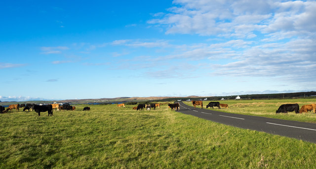
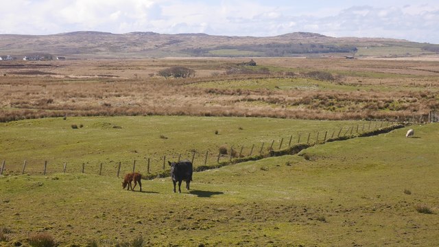
The loch is known for its abundant fish population, with species like brown trout and salmon being commonly found in its depths. This makes it a popular spot for fishing enthusiasts who visit to test their angling skills and enjoy the peaceful surroundings.

In addition to its fishing opportunities, Loch nam Bruithearan is also a fantastic location for birdwatching. The area is home to a variety of bird species, including golden eagles, ospreys, and various waterfowl. The tranquil atmosphere and undisturbed surroundings make it an ideal habitat for these winged creatures.

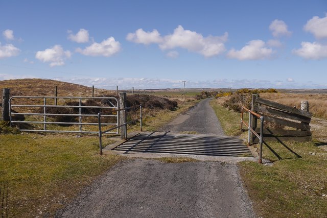
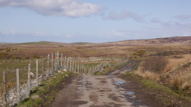
The loch is easily accessible, with a well-maintained path leading to its shores. Visitors can enjoy leisurely walks along the banks, taking in the breathtaking views and immersing themselves in the tranquility of the area.

Overall, Loch nam Bruithearan is a hidden gem in Argyllshire, offering a peaceful retreat for anyone seeking to reconnect with nature. Its stunning scenery, diverse wildlife, and recreational opportunities make it a must-visit destination for those exploring the Scottish Highlands.

If you have any feedback on the listing, please let us know in the comments section below.

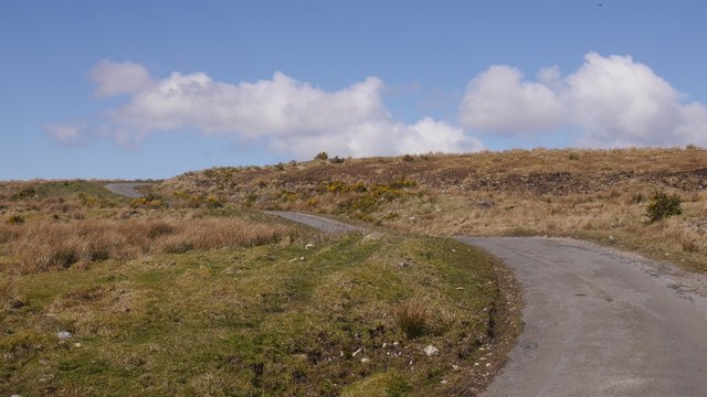
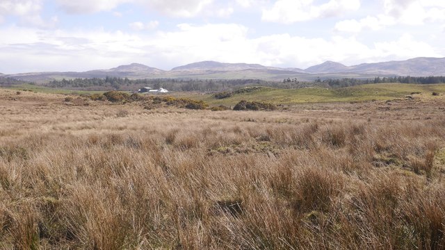
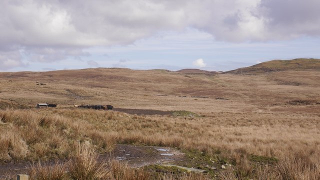
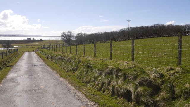
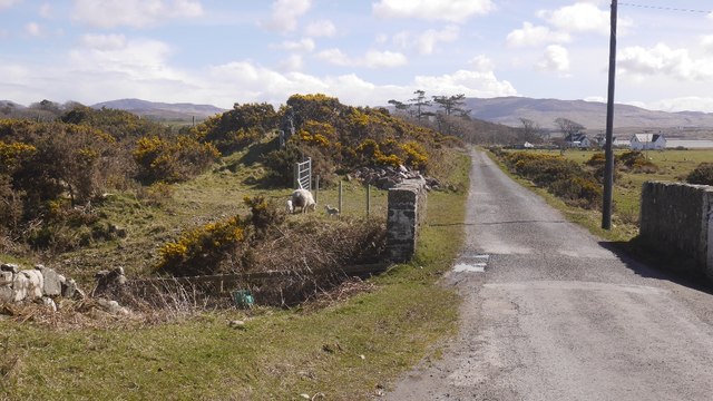
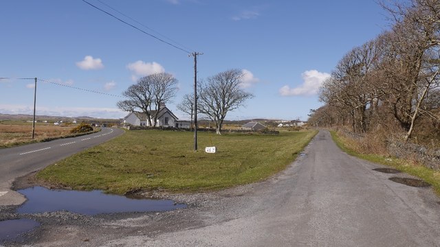
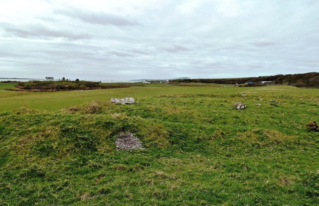
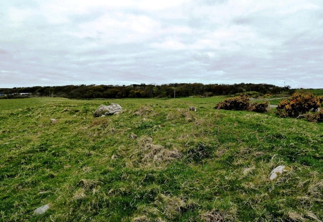
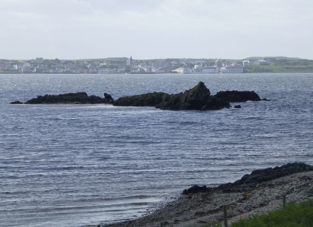
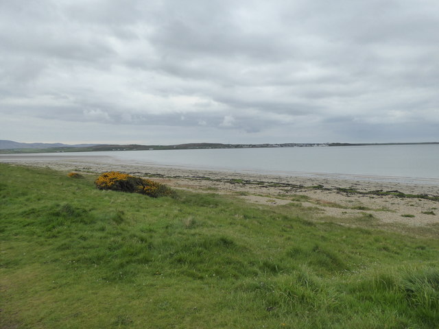
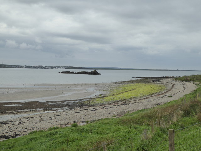
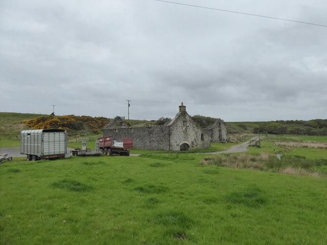
Loch nam Bruithearan Images

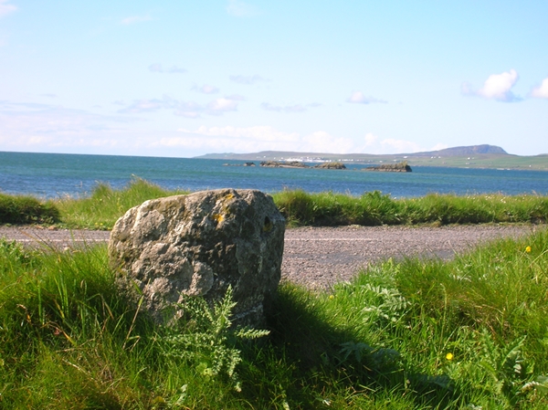
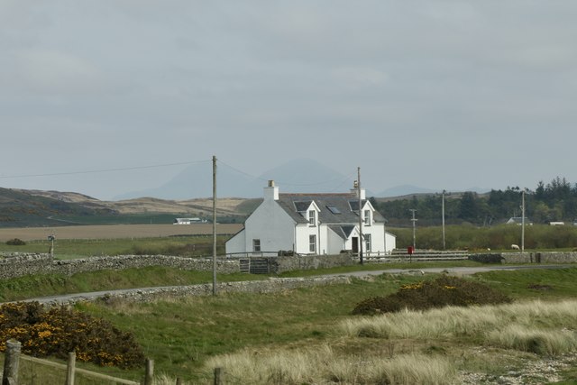
Images are sourced within 2km of 55.789535/-6.3067419 or Grid Reference NR3063. Thanks to Geograph Open Source API. All images are credited.

Cattle grazing beside A847 Grass lies at both sides of the unfenced A847 at the northern end of Loch Indaal and cattle wander freely from side to side of the road.
Cattle grazing beside A847
Grass lies at both sides of the unfenced A847 at the northern end of Loch Indaal and cattle wander freely from side to side of the road.
Cattlegrid, Torran na Feannaige
Cow and calf, Lagstoban
Single track road, Islay Between Loch Indaal and the Gruinart Flats via Borichill.  It is unfenced with cattlegrids.
Single track road, Islay
Between Loch Indaal and the Gruinart Flats via Borichill. It is unfenced with cattlegrids.
Single track road, Borichill Between Bridgend and Gruinart, the road is largely unfenced with cattle grids.
Single track road, Borichill
Between Bridgend and Gruinart, the road is largely unfenced with cattle grids.
Rough grazing, Carrabus Rough ground, grazed by cattle.
Rough grazing, Carrabus
Rough ground, grazed by cattle.
Islay hill grazing Cattle on rough ground above Carrabus.
Islay hill grazing
Cattle on rough ground above Carrabus.
Single track road, Carrabus View towards Loch Indaal.
Single track road, Carrabus
View towards Loch Indaal.
Crossing the Carrabus burn A ewe and lambs beside the burn which is crossed here by a single track road.
Crossing the Carrabus burn
A ewe and lambs beside the burn which is crossed here by a single track road.
Carnain A road junction at the head of Loch Indaal with a single track road taking a bendy route over rough grazing for Gruinart.
Carnain
A road junction at the head of Loch Indaal with a single track road taking a bendy route over rough grazing for Gruinart.
Possible Ancient Cairn Near West Carrabus I stopped to look for the stone marked on the Explorer Map on the edge of this square. I didn't find any large, single stone but spotted this mound containing a number of smaller stones. Islay has other sites showing this arrangement, many of which are prehistoric in origin. It's not always possible to be sure but the location of this site is consistent with other proven examples.
Possible Ancient Cairn Near West Carrabus
I stopped to look for the stone marked on the Explorer Map on the edge of this square. I didn't find any large, single stone but spotted this mound containing a number of smaller stones. Islay has other sites showing this arrangement, many of which are prehistoric in origin. It's not always possible to be sure but the location of this site is consistent with other proven examples.
Possible Ancient Cairn I stopped to look for the stone marked on the Explorer Map on the edge of this square. I didn't find any large, single stone but spotted this mound containing a number of smaller stones. Islay has other sites showing this arrangement, many of which are prehistoric in origin. It's not always possible to be sure but the location of this site is consistent with other proven examples.
Possible Ancient Cairn
I stopped to look for the stone marked on the Explorer Map on the edge of this square. I didn't find any large, single stone but spotted this mound containing a number of smaller stones. Islay has other sites showing this arrangement, many of which are prehistoric in origin. It's not always possible to be sure but the location of this site is consistent with other proven examples.
Carraig Dhubh Offshore rocks at Blackrock.
Carraig Dhubh
Offshore rocks at Blackrock.
Shoreline, Tràigh na Carraige Duibhe
Looking towards Carraig Dhubh
Ruin at Blackrock Farm, Islay
Old Milestone by the A847, east of Blackrock, Islay By the A847, in parish of Killarow & Kilmeny (Islay District), East of Blackrock, landward side of road, facing Loch Indaal.

Inscription once read:-
: (Port Charlotte 5¾) : : (Bridgend 2) :

Surveyed

Milestone Society National ID: AB_IBRPC02.
Old Milestone by the A847, east of Blackrock, Islay
By the A847, in parish of Killarow & Kilmeny (Islay District), East of Blackrock, landward side of road, facing Loch Indaal. Inscription once read:- : (Port Charlotte 5¾) : : (Bridgend 2) : Surveyed Milestone Society National ID: AB_IBRPC02.
House in Blackrock On the A847
House in Blackrock
On the A847
Show me another place!

Loch nam Bruithearan is located at Grid Ref: NR3063 (Lat: 55.789535, Lng: -6.3067419)

Unitary Authority: Argyll and Bute

Police Authority: Argyll and West Dunbartonshire

What 3 Words

///thick.intrigued.roosts. Near Bridgend, Argyll & Bute

Related Wikis

Bridgend Flats

Bridgend Flats is an area of mudflats and saltmarsh near the village of Bridgend on the island of Islay off the west coast of Scotland. Covering an area...

Islay House

Islay House is a Category A listed country house near Bridgend, Islay in the county of Argyll, in western Scotland on the shores of Loch Indaal. ��2�...

Gruinart Flats

The Gruinart Flats is a low-lying landform on the western part of the isle of Islay in Scotland. The locale is an important conservation area, having been...

Bridgend, Islay

Bridgend (Scottish Gaelic: Beul an Àtha) is a village on the Inner Hebrides island of Islay off the western coast of Scotland at the tip of Loch Indaal...

Nearby Amenities

Located within 500m of 55.789535,-6.3067419
Power: pole
Lat/Long: 55.7860497/-6.306057
Material: wood
Power: pole
Lat/Long: 55.786089/-6.3069656
Material: wood
Power: pole
Lat/Long: 55.7863726/-6.3099234
Material: wood
Power: pole
Lat/Long: 55.7865891/-6.3120325
Material: wood
Power: pole
Lat/Long: 55.7854981/-6.3102622
Material: wood
Power: pole
Lat/Long: 55.786484/-6.3110352
Power: pole
Lat/Long: 55.7860856/-6.3100346
Power: pole
Lat/Long: 55.7860491/-6.3115044
Power: pole
Lat/Long: 55.7862732/-6.3088869
Power: pole
Lat/Long: 55.7861757/-6.3078699
Power: pole
Lat/Long: 55.7859047/-6.3022723
Power: pole
Lat/Long: 55.7859533/-6.3035426
Power: pole
Lat/Long: 55.786004/-6.3048645
Passing Place
Lat/Long: 55.7858888/-6.3112283
The data included in this document is from www.openstreetmap.org. The data is made available under ODbL.

Have you been to Loch nam Bruithearan?

Leave your review of Loch nam Bruithearan below (or comments, questions and feedback).