Loch na Deasport

Lake, Pool, Pond, Freshwater Marsh in Ross-shire

Scotland

Loch na Deasport

Lochs Show 2011 North Harris and the 10th Lochs Agricultural Show at the Laxey Showground, Balallan / Baile Ailein.
Lochs Show 2011 Credit: Colin Smith

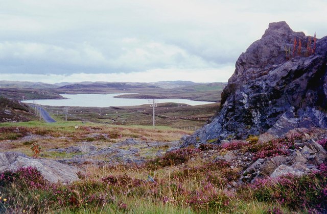
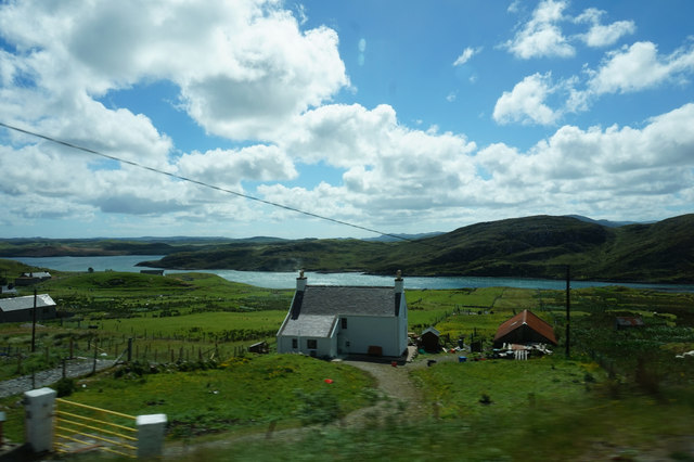
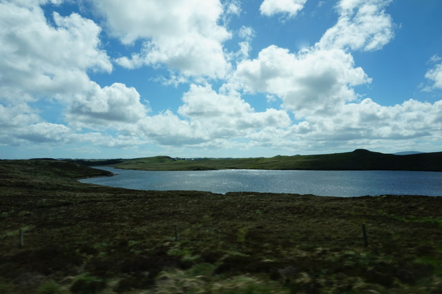
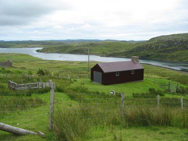
Loch na Deasport is a picturesque freshwater loch located in Ross-shire, a county in the Highlands of Scotland. With its stunning natural beauty and tranquil surroundings, it is a popular destination for nature enthusiasts and outdoor enthusiasts alike.

Covering an area of approximately 50 acres, Loch na Deasport is nestled amidst rolling hills and lush greenery, creating a serene and idyllic atmosphere. The loch is characterized by its crystal-clear waters, which reflect the surrounding landscape, creating a truly mesmerizing sight.

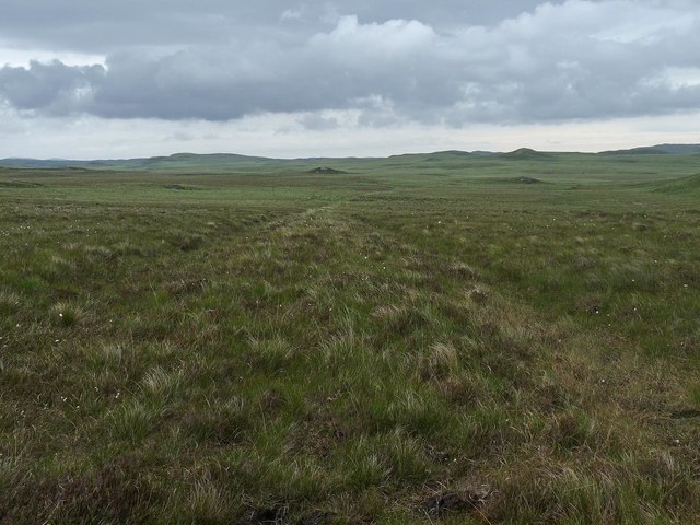
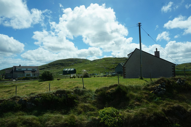
The loch is home to a diverse range of flora and fauna, making it a haven for wildlife enthusiasts. Visitors can expect to encounter various bird species, including ducks, swans, and herons, as well as small mammals such as otters and voles. The surrounding marshland provides a vital habitat for these species, ensuring the preservation of their natural environment.

Fishing is a popular activity on Loch na Deasport, with anglers attracted to its abundance of brown trout. The loch is well-stocked, offering a great opportunity for fishing enthusiasts to test their skills and potentially catch some prized specimens.

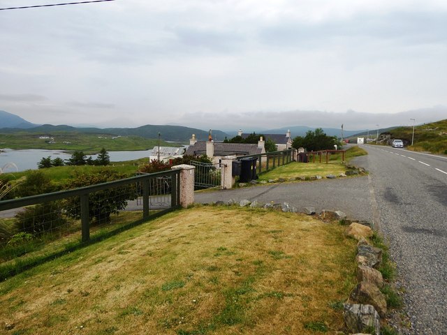
For those who prefer a more leisurely experience, Loch na Deasport offers stunning views and peaceful walks along its shores. The picturesque landscape provides an ideal setting for picnics, photography, or simply enjoying the tranquility of nature.

Overall, Loch na Deasport is a hidden gem in the Scottish Highlands, boasting breathtaking beauty and a rich ecosystem. Whether visitors are seeking outdoor adventures or a peaceful retreat, this freshwater loch offers a truly unforgettable experience.

If you have any feedback on the listing, please let us know in the comments section below.

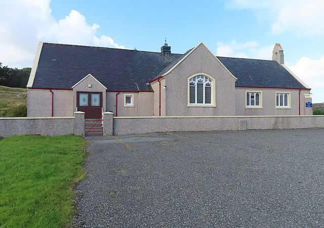
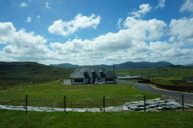
Loch na Deasport Images

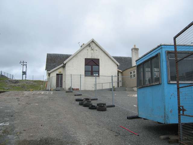
Images are sourced within 2km of 58.1005/-6.5791192 or Grid Reference NB3021. Thanks to Geograph Open Source API. All images are credited.

Lochs Show 2011 North Harris and the 10th Lochs Agricultural Show at the Laxey Showground, Balallan / Baile Ailein.
Lochs Show 2011
North Harris and the 10th Lochs Agricultural Show at the Laxey Showground, Balallan / Baile Ailein.
Balallan: view along Loch Èireasort Looking east from the A859 as it passes through this long, linear village.
Balallan: view along Loch Èireasort
Looking east from the A859 as it passes through this long, linear village.
Balallan: a ruined house This forlorn house stands on the south side of the A859 in Balallan, with its back to Loch Èareasort.
Balallan: a ruined house
This forlorn house stands on the south side of the A859 in Balallan, with its back to Loch Èareasort.
Bridge on the Hebridean Way Geocaching is a type of global treasure hunt of people looking for caches, or hidden stashes of objects. Geocaching may also be described as a series of hide-and-seek games, where hiders provide online clues for seekers. Seekers use global positioning system (GPS) devices to find hidden caches
Bridge on the Hebridean Way
Geocaching is a type of global treasure hunt of people looking for caches, or hidden stashes of objects. Geocaching may also be described as a series of hide-and-seek games, where hiders provide online clues for seekers. Seekers use global positioning system (GPS) devices to find hidden caches
Kinloch Parish Kirk Belonging to the Church of Scotland.
Kinloch Parish Kirk
Belonging to the Church of Scotland.
Track, Druim nan Uan, Isle of Lewis The track extends further than currently shown on the OS 1:25,000 map (as viewed on OS maps 27/12/16).
Track, Druim nan Uan, Isle of Lewis
The track extends further than currently shown on the OS 1:25,000 map (as viewed on OS maps 27/12/16).
A859 skirting Loch Bhaltois
Line of former dyke, Druim na Lige, Isle of Lewis The dyke is shown on the OS 1st edition six inch map published in 1852 and still appears on current (at the time of uploading) OS maps with a scale of 1:25,000 or larger.
Line of former dyke, Druim na Lige, Isle of Lewis
The dyke is shown on the OS 1st edition six inch map published in 1852 and still appears on current (at the time of uploading) OS maps with a scale of 1:25,000 or larger.
House at Baile Ailein
House at Beinn Bhuidhe
Houses near Mircill Glas, Baile Ailein
Loch Bhaltois, taken from the A859
Gate to houses overlooking Loch Eireasort in Baile Ailean
Baile Ailean School Undergoing refurbishment during the summer holidays.
Baile Ailean School
Undergoing refurbishment during the summer holidays.
Crofting land at Baile Ailean Stretching down to the shore of Loch Eireasort.
Crofting land at Baile Ailean
Stretching down to the shore of Loch Eireasort.
Fence line at Balallan I was going to walk further in but the weather was so miserable, typically Lewis, that the fence was as far as I got before the rain was on my lens!
Fence line at Balallan
I was going to walk further in but the weather was so miserable, typically Lewis, that the fence was as far as I got before the rain was on my lens!
Loch na Craoibhe
Loch na Craoibhe
Baile Ailean (Balallan) and Loch na Deasport The loch marks the eastern extremity of the crofting township of Baile Ailean. On older maps it is named Loch nan Deaspoirt. In the background are some of the hills north of Loch Shiphoirt (Loch Seaforth).
Baile Ailean (Balallan) and Loch na Deasport
The loch marks the eastern extremity of the crofting township of Baile Ailean. On older maps it is named Loch nan Deaspoirt. In the background are some of the hills north of Loch Shiphoirt (Loch Seaforth).
Show me another place!

Loch na Deasport is located at Grid Ref: NB3021 (Lat: 58.1005, Lng: -6.5791192)

Unitary Authority: Na h-Eileanan an Iar

Police Authority: Highlands and Islands

What 3 Words

///remaking.bypassed.acrobats. Near Leurbost, Na h-Eileanan Siar

Related Wikis

Balallan

Balallan (Scottish Gaelic: Baile Ailein, Bail' Ailein), meaning "Allan's Town", is a crofting township on the Isle of Lewis, in the Outer Hebrides, Scotland...

Loch Erisort

Loch Erisort (Scottish Gaelic: Èireasort) is an 8-mile-long narrow sea inlet on the east coast of the Isle of Lewis in the Outer Hebrides off the west...

Cabharstadh

Cabharstadh or Caversta (Scottish Gaelic: Cabharstaigh) is a village on the Isle of Lewis in the Outer Hebrides, Scotland. Caversta is situated in the...

Airidh a' Bhruaich

Airidh a' Bhruaich (Arivruaich - anglicised) is a scattered crofting township in the South Lochs district of the Isle of Lewis in the Outer Hebrides of...

Nearby Amenities

Located within 500m of 58.1005,-6.5791192
Power: pole
Source: Bing
Lat/Long: 58.0992259/-6.5816095
Power: pole
Lat/Long: 58.1012577/-6.5762074
Power: pole
Source: Bing
Lat/Long: 58.098634/-6.5822911
Power: pole
Lat/Long: 58.1000567/-6.5800271
Power: pole
Lat/Long: 58.1019089/-6.5733675
Power: pole
Source: Bing
Lat/Long: 58.0973673/-6.5837704
Gledfield B&B
Addr City: Eilean Leòdhais
Addr City En: Isle of Lewis
Addr Country: GB
Addr Postcode: HS2 9PN
Fhrs Id: 806457
Tourism: guest_house
Website: http://www.gledfield-balallan.co.uk/
Lat/Long: 58.0962859/-6.5797039
Passing Place
Source: Bing
Lat/Long: 58.0977823/-6.5810958
Power: pole
Lat/Long: 58.1022457/-6.5718968
Power: pole
Lat/Long: 58.1014882/-6.5750831
Power: pole
Lat/Long: 58.1009513/-6.5771908
Fixme: from aerial imagery, survey needed to confirm
Tourism: picnic_site
Lat/Long: 58.0986464/-6.5728338
Power: pole
Lat/Long: 58.0985131/-6.5751176
Power: pole
Lat/Long: 58.0983189/-6.5752128
Power: pole
Lat/Long: 58.0975244/-6.5772204
Material: wood
Power: pole
Lat/Long: 58.0975028/-6.5782001
Power: pole
Lat/Long: 58.0980241/-6.577773
Power: pole
Lat/Long: 58.0979766/-6.5787345
Power: pole
Lat/Long: 58.0978434/-6.5785923
Power: pole
Lat/Long: 58.0979376/-6.5797176
Power: pole
Lat/Long: 58.0982154/-6.5812974
Power: pole
Lat/Long: 58.0974868/-6.5808119
Power: pole
Lat/Long: 58.0973813/-6.580663
Power: pole
Lat/Long: 58.0973862/-6.5826975
Power: pole
Lat/Long: 58.0971247/-6.5816206
Power: pole
Lat/Long: 58.0968462/-6.5817252
Power: pole
Lat/Long: 58.0967781/-6.582389
Power: pole
Lat/Long: 58.0964854/-6.5788244
Power: pole
Lat/Long: 58.0969631/-6.5784368
Power: pole
Lat/Long: 58.0978058/-6.5796357
Power: pole
Lat/Long: 58.0978809/-6.5776616
Power: pole
Lat/Long: 58.0988526/-6.5732092
Power: pole
Lat/Long: 58.0987243/-6.5742606
Power: pole
Lat/Long: 58.0989624/-6.5733527
Power: pole
Lat/Long: 58.0992587/-6.5724877
Power: pole
Lat/Long: 58.0998483/-6.5707952
Power: pole
Lat/Long: 58.098567/-6.5742686
Power: pole
Lat/Long: 58.0991977/-6.5721846
Power: pole
Lat/Long: 58.0962123/-6.5807224
Power: pole
Lat/Long: 58.0963408/-6.5799252
Power: pole
Lat/Long: 58.0968277/-6.5778771
Power: pole
Lat/Long: 58.0969254/-6.5768845
Power: pole
Lat/Long: 58.0967202/-6.57939
Material: wood
Power: pole
Lat/Long: 58.097055/-6.5801657
Ford: yes
Lat/Long: 58.1015366/-6.5763634
Power: pole
Lat/Long: 58.0997526/-6.5809846
Power: pole
Lat/Long: 58.0980531/-6.582949
Ford: yes
Lat/Long: 58.1015846/-6.5717144
The data included in this document is from www.openstreetmap.org. The data is made available under ODbL.

Have you been to Loch na Deasport?

Leave your review of Loch na Deasport below (or comments, questions and feedback).