Cnoc Dubh a' Ghairbh Uillt

Hill, Mountain in Ross-shire

Scotland

Cnoc Dubh a' Ghairbh Uillt

Lochs Show 2011 North Harris and the 10th Lochs Agricultural Show at the Laxey Showground, Balallan / Baile Ailein.
Lochs Show 2011 Credit: Colin Smith

Cnoc Dubh a' Ghairbh Uillt is a prominent hill located in the county of Ross-shire, in the Scottish Highlands. With an elevation of 874 meters (2,867 feet), it stands as one of the highest peaks in the region, offering breathtaking panoramic views of the surrounding landscape.

Situated within the expansive and picturesque Glen Strathfarrar, Cnoc Dubh a' Ghairbh Uillt forms part of the Northwest Highlands Geopark. The hill is composed mainly of Torridonian sandstone, a type of rock that dates back over 1 billion years, adding to its geological significance.

The ascent to Cnoc Dubh a' Ghairbh Uillt can be challenging, with steep slopes and rugged terrain. However, it rewards climbers with stunning vistas of the nearby Loch Monar and the surrounding mountains, including the iconic Sgurr na Lapaich.

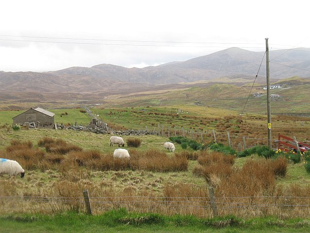
The hill is also home to a diverse range of flora and fauna, with heather, grasses, and mosses covering its slopes. Wildlife enthusiasts may spot golden eagles soaring in the skies above, as well as red deer and mountain hares roaming the lower areas.

Outdoor enthusiasts and hikers are drawn to Cnoc Dubh a' Ghairbh Uillt for its unspoiled beauty and tranquility. The hill offers various routes for exploration, allowing visitors to experience the untamed wilderness and immerse themselves in the natural wonders of the Scottish Highlands.

If you have any feedback on the listing, please let us know in the comments section below.

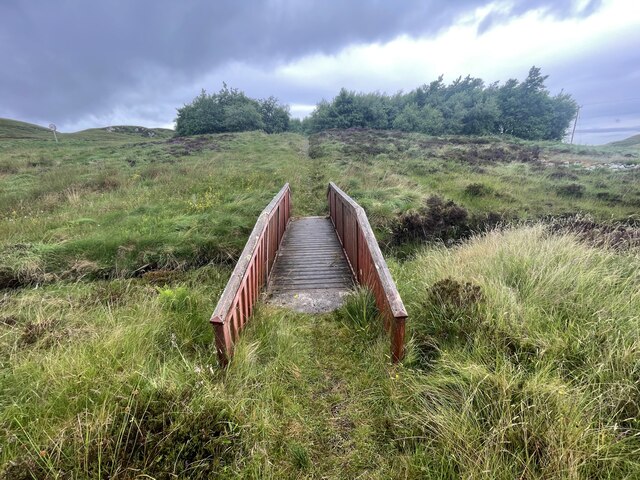
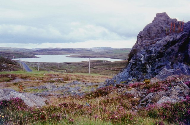
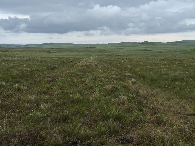
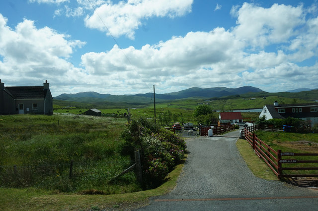
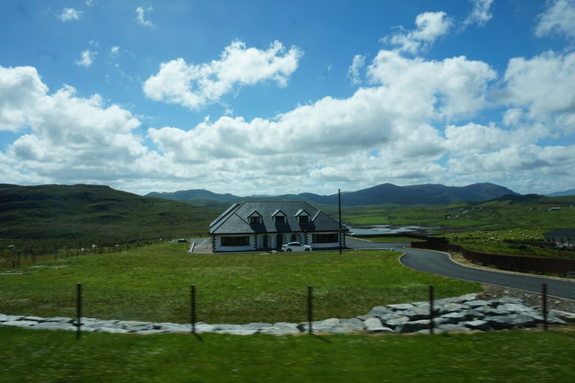
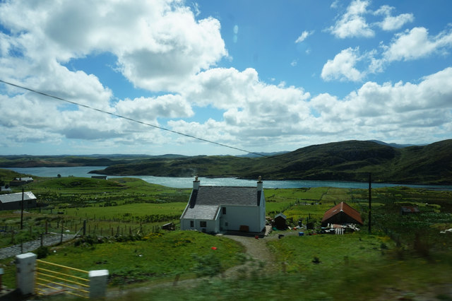
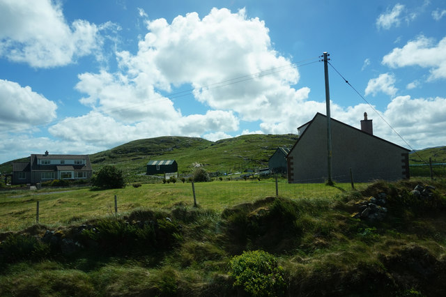
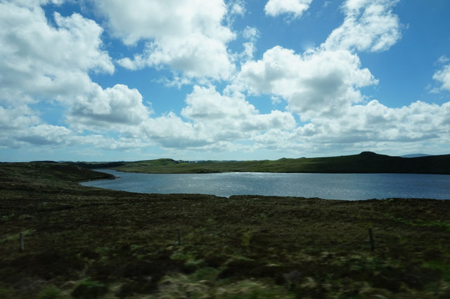
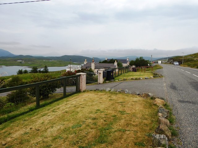
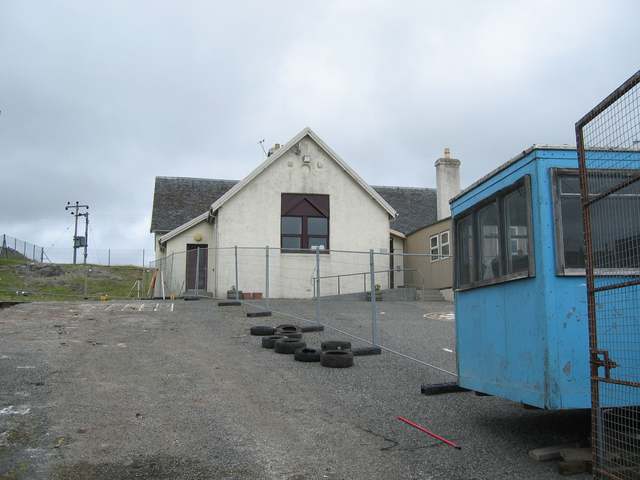
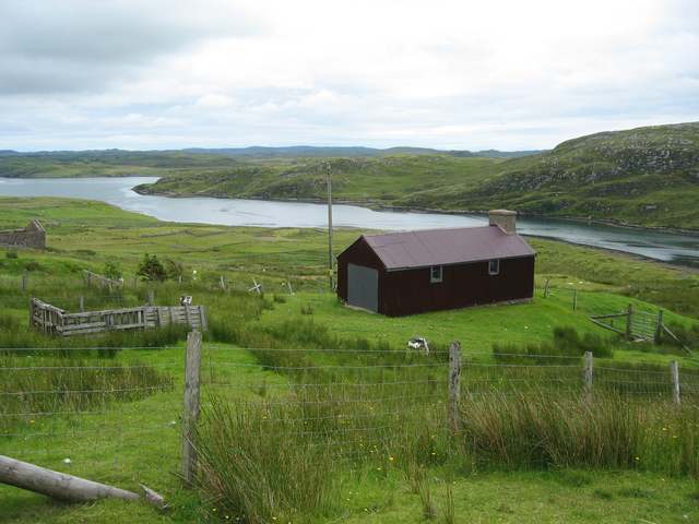
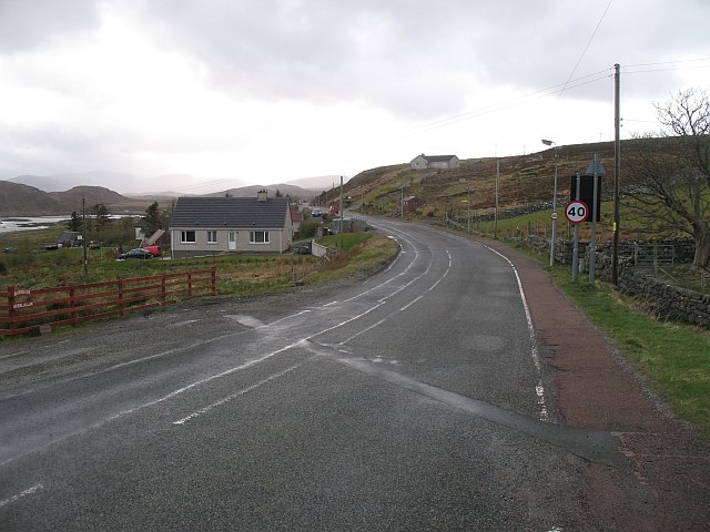
Cnoc Dubh a' Ghairbh Uillt Images

Images are sourced within 2km of 58.097005/-6.5815072 or Grid Reference NB3021. Thanks to Geograph Open Source API. All images are credited.

Lochs Show 2011 North Harris and the 10th Lochs Agricultural Show at the Laxey Showground, Balallan / Baile Ailein.
Lochs Show 2011
North Harris and the 10th Lochs Agricultural Show at the Laxey Showground, Balallan / Baile Ailein.
Balallan: view along Loch Èireasort Looking east from the A859 as it passes through this long, linear village.
Balallan: view along Loch Èireasort
Looking east from the A859 as it passes through this long, linear village.
Balallan: view across to the Cleiteir mouth Looking across Loch Èireasort from the A859 through Balallan. The river, Abhainn Chleiteir, reaches the loch opposite us.
Balallan: view across to the Cleiteir mouth
Looking across Loch Èireasort from the A859 through Balallan. The river, Abhainn Chleiteir, reaches the loch opposite us.
Balallan: a ruined house This forlorn house stands on the south side of the A859 in Balallan, with its back to Loch Èareasort.
Balallan: a ruined house
This forlorn house stands on the south side of the A859 in Balallan, with its back to Loch Èareasort.
Bridge on the Hebridean Way Geocaching is a type of global treasure hunt of people looking for caches, or hidden stashes of objects. Geocaching may also be described as a series of hide-and-seek games, where hiders provide online clues for seekers. Seekers use global positioning system (GPS) devices to find hidden caches
Bridge on the Hebridean Way
Geocaching is a type of global treasure hunt of people looking for caches, or hidden stashes of objects. Geocaching may also be described as a series of hide-and-seek games, where hiders provide online clues for seekers. Seekers use global positioning system (GPS) devices to find hidden caches
A859 skirting Loch Bhaltois
Line of former dyke, Druim na Lige, Isle of Lewis The dyke is shown on the OS 1st edition six inch map published in 1852 and still appears on current (at the time of uploading) OS maps with a scale of 1:25,000 or larger.
Line of former dyke, Druim na Lige, Isle of Lewis
The dyke is shown on the OS 1st edition six inch map published in 1852 and still appears on current (at the time of uploading) OS maps with a scale of 1:25,000 or larger.
Burnside, Baile Ailein
House at Baile Ailein
House at Beinn Bhuidhe
Houses near Mircill Glas, Baile Ailein
Loch Bhaltois, taken from the A859
Gate to houses overlooking Loch Eireasort in Baile Ailean
Baile Ailean School Undergoing refurbishment during the summer holidays.
Baile Ailean School
Undergoing refurbishment during the summer holidays.
Crofting land at Baile Ailean Stretching down to the shore of Loch Eireasort.
Crofting land at Baile Ailean
Stretching down to the shore of Loch Eireasort.
A 859, Baile Ailein Towards the western end of this sprawling community.
A 859, Baile Ailein
Towards the western end of this sprawling community.
Grazing sheep, Baile Ailein Sheep grazing on the improved land between Baile Ailein and Loch Èireasort.
Grazing sheep, Baile Ailein
Sheep grazing on the improved land between Baile Ailein and Loch Èireasort.
Fence line at Balallan I was going to walk further in but the weather was so miserable, typically Lewis, that the fence was as far as I got before the rain was on my lens!
Fence line at Balallan
I was going to walk further in but the weather was so miserable, typically Lewis, that the fence was as far as I got before the rain was on my lens!
Show me another place!

Cnoc Dubh a' Ghairbh Uillt is located at Grid Ref: NB3021 (Lat: 58.097005, Lng: -6.5815072)

Unitary Authority: Na h-Eileanan an Iar

Police Authority: Highlands and Islands

What 3 Words

///weaved.represent.musically. Near Leurbost, Na h-Eileanan Siar

Related Wikis

Balallan

Balallan (Scottish Gaelic: Baile Ailein, Bail' Ailein), meaning "Allan's Town", is a crofting township on the Isle of Lewis, in the Outer Hebrides, Scotland...

Loch Erisort

Loch Erisort (Scottish Gaelic: Èireasort) is an 8-mile-long narrow sea inlet on the east coast of the Isle of Lewis in the Outer Hebrides off the west...

Cabharstadh

Cabharstadh or Caversta (Scottish Gaelic: Cabharstaigh) is a village on the Isle of Lewis in the Outer Hebrides, Scotland. Caversta is situated in the...

Airidh a' Bhruaich

Airidh a' Bhruaich (Arivruaich - anglicised) is a scattered crofting township in the South Lochs district of the Isle of Lewis in the Outer Hebrides of...

Nearby Amenities

Located within 500m of 58.097005,-6.5815072
Power: pole
Source: Bing
Lat/Long: 58.0961566/-6.5868074
Power: pole
Source: Bing
Lat/Long: 58.0992259/-6.5816095
Power: pole
Lat/Long: 58.0959356/-6.5878901
Power: pole
Source: Bing
Lat/Long: 58.096578/-6.584648
Power: pole
Source: Bing
Lat/Long: 58.098634/-6.5822911
Power: pole
Lat/Long: 58.1000567/-6.5800271
Power: pole
Lat/Long: 58.0960371/-6.5892215
Power: pole
Source: Bing
Lat/Long: 58.0973673/-6.5837704
Power: pole
Source: Bing
Lat/Long: 58.0963505/-6.5858233
Gledfield B&B
Addr City: Eilean Leòdhais
Addr City En: Isle of Lewis
Addr Country: GB
Addr Postcode: HS2 9PN
Fhrs Id: 806457
Tourism: guest_house
Website: http://www.gledfield-balallan.co.uk/
Lat/Long: 58.0962859/-6.5797039
Passing Place
Source: Bing
Lat/Long: 58.0977823/-6.5810958
Tigh na Bruaich
Tourism: guest_house
Lat/Long: 58.0954045/-6.5823984
Material: wood
Power: pole
Lat/Long: 58.0961232/-6.5814247
Power: pole
Lat/Long: 58.0985131/-6.5751176
Power: pole
Lat/Long: 58.0983189/-6.5752128
Power: pole
Lat/Long: 58.0975244/-6.5772204
Material: wood
Power: pole
Lat/Long: 58.0975028/-6.5782001
Power: pole
Lat/Long: 58.0980241/-6.577773
Power: pole
Lat/Long: 58.0979766/-6.5787345
Power: pole
Lat/Long: 58.0978434/-6.5785923
Power: pole
Lat/Long: 58.0979376/-6.5797176
Power: pole
Lat/Long: 58.0982154/-6.5812974
Power: pole
Lat/Long: 58.0974868/-6.5808119
Power: pole
Lat/Long: 58.0973813/-6.580663
Power: pole
Lat/Long: 58.0973862/-6.5826975
Power: pole
Lat/Long: 58.0971247/-6.5816206
Power: pole
Lat/Long: 58.0968462/-6.5817252
Power: pole
Lat/Long: 58.0967781/-6.582389
Power: pole
Lat/Long: 58.0963932/-6.5833211
Power: pole
Lat/Long: 58.0959595/-6.5837691
Power: pole
Lat/Long: 58.0954917/-6.5848178
Power: pole
Lat/Long: 58.0955895/-6.585031
Power: pole
Lat/Long: 58.0955526/-6.585888
Power: pole
Lat/Long: 58.0954081/-6.5859282
Power: pole
Lat/Long: 58.0954605/-6.5867838
Power: pole
Lat/Long: 58.0952684/-6.5870078
Power: pole
Lat/Long: 58.0959191/-6.5878634
Power: pole
Lat/Long: 58.0951274/-6.5879948
Power: pole
Lat/Long: 58.0952003/-6.5888813
Power: pole
Lat/Long: 58.0950047/-6.5890529
Power: pole
Lat/Long: 58.0939032/-6.5870038
Power: pole
Lat/Long: 58.0939919/-6.5860837
Power: pole
Lat/Long: 58.0950119/-6.5836013
Power: pole
Lat/Long: 58.0948021/-6.5831776
Power: pole
Lat/Long: 58.094493/-6.5825312
Power: pole
Lat/Long: 58.0935234/-6.582322
Power: pole
Lat/Long: 58.0929017/-6.5822308
Power: pole
Lat/Long: 58.0926132/-6.5821342
Power: pole
Lat/Long: 58.0964854/-6.5788244
Power: pole
Lat/Long: 58.0969631/-6.5784368
Power: pole
Lat/Long: 58.0964096/-6.5827042
Power: pole
Lat/Long: 58.0978058/-6.5796357
Power: pole
Lat/Long: 58.0978809/-6.5776616
Power: pole
Lat/Long: 58.0987243/-6.5742606
Power: pole
Lat/Long: 58.098567/-6.5742686
Power: pole
Lat/Long: 58.0943845/-6.5846347
Power: pole
Lat/Long: 58.0940636/-6.582427
Power: pole
Lat/Long: 58.0962123/-6.5807224
Power: pole
Lat/Long: 58.0963408/-6.5799252
Power: pole
Lat/Long: 58.0968277/-6.5778771
Power: pole
Lat/Long: 58.0969254/-6.5768845
Power: pole
Lat/Long: 58.0967202/-6.57939
Material: wood
Power: pole
Lat/Long: 58.097055/-6.5801657
Power: pole
Lat/Long: 58.0959729/-6.5841894
Power: pole
Lat/Long: 58.0945947/-6.5838954
Power: pole
Lat/Long: 58.0997526/-6.5809846
Power: pole
Lat/Long: 58.0980531/-6.582949
The data included in this document is from www.openstreetmap.org. The data is made available under ODbL.

Have you been to Cnoc Dubh a' Ghairbh Uillt?

Leave your review of Cnoc Dubh a' Ghairbh Uillt below (or comments, questions and feedback).