Aird Fhalasgair

Hill, Mountain in Ross-shire

Scotland

Aird Fhalasgair

Lochs Show 2011 North Harris and the 10th Lochs Agricultural Show at the Laxey Showground, Balallan / Baile Ailein.
Lochs Show 2011 Credit: Colin Smith

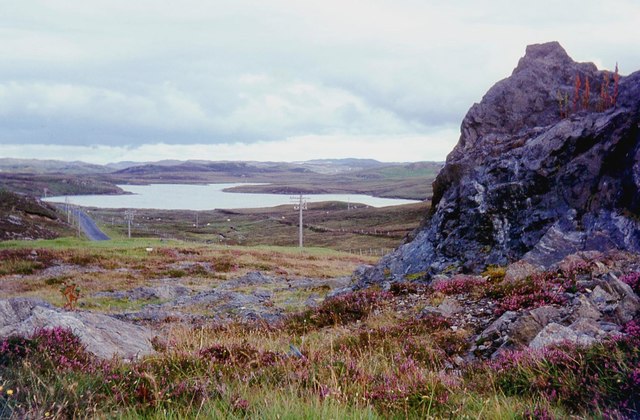
Aird Fhalasgair is a prominent hill located in Ross-shire, Scotland. It is part of the Scottish Highlands and offers breathtaking views of the surrounding landscape. Rising to an elevation of approximately 672 meters (2,205 feet), it is classified as a mountain rather than a mere hill.

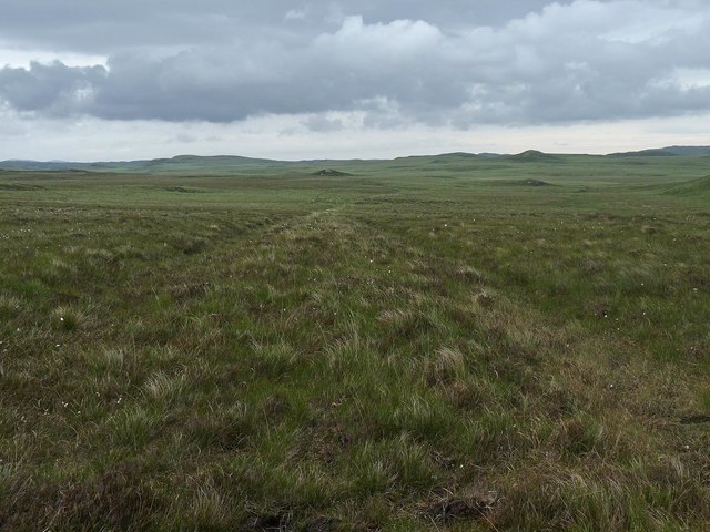
Situated in a remote and rugged area, Aird Fhalasgair is known for its challenging terrain, making it a popular destination for outdoor enthusiasts and hikers. The ascent to the summit involves steep slopes and rocky paths, requiring a moderate level of fitness and experience. However, the effort is rewarded with stunning panoramas of the Scottish countryside.

The mountain is surrounded by a diverse and rich ecosystem, with a variety of flora and fauna inhabiting its slopes. Visitors are likely to encounter heather, mosses, and wildflowers during their hike, while birds of prey such as golden eagles and peregrine falcons may be spotted soaring overhead.

Aird Fhalasgair is also steeped in history, with archaeological remains and ancient settlements scattered throughout its vicinity. These remnants provide insight into the lives of the early inhabitants of the area, dating back thousands of years.

While Aird Fhalasgair offers a challenging climb, it is undoubtedly a rewarding experience for those seeking to immerse themselves in the natural beauty and history of the Scottish Highlands.

If you have any feedback on the listing, please let us know in the comments section below.

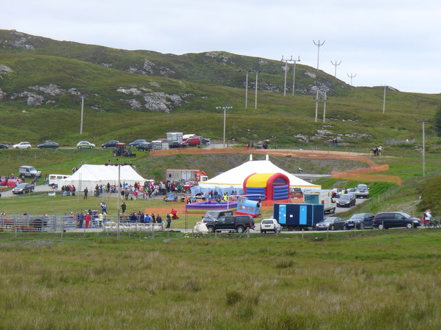
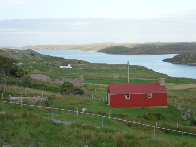
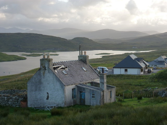
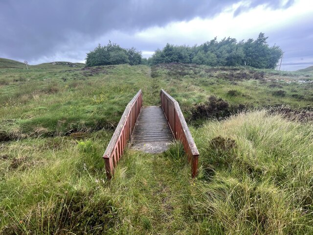
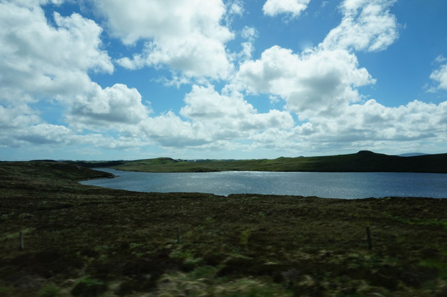
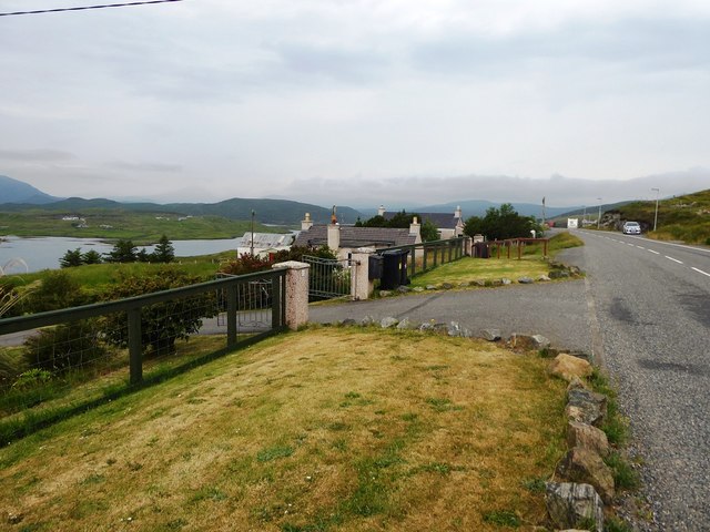
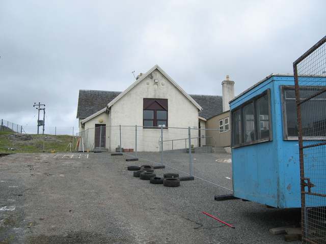
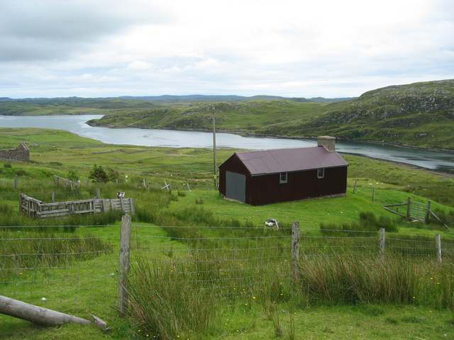
Aird Fhalasgair Images

Images are sourced within 2km of 58.103139/-6.581514 or Grid Reference NB3021. Thanks to Geograph Open Source API. All images are credited.

Lochs Show 2011 North Harris and the 10th Lochs Agricultural Show at the Laxey Showground, Balallan / Baile Ailein.
Lochs Show 2011
North Harris and the 10th Lochs Agricultural Show at the Laxey Showground, Balallan / Baile Ailein.
Balallan: view along Loch Èireasort Looking east from the A859 as it passes through this long, linear village.
Balallan: view along Loch Èireasort
Looking east from the A859 as it passes through this long, linear village.
Balallan: a ruined house This forlorn house stands on the south side of the A859 in Balallan, with its back to Loch Èareasort.
Balallan: a ruined house
This forlorn house stands on the south side of the A859 in Balallan, with its back to Loch Èareasort.
Bridge on the Hebridean Way Geocaching is a type of global treasure hunt of people looking for caches, or hidden stashes of objects. Geocaching may also be described as a series of hide-and-seek games, where hiders provide online clues for seekers. Seekers use global positioning system (GPS) devices to find hidden caches
Bridge on the Hebridean Way
Geocaching is a type of global treasure hunt of people looking for caches, or hidden stashes of objects. Geocaching may also be described as a series of hide-and-seek games, where hiders provide online clues for seekers. Seekers use global positioning system (GPS) devices to find hidden caches
Track, Druim nan Uan, Isle of Lewis The track extends further than currently shown on the OS 1:25,000 map (as viewed on OS maps 27/12/16).
Track, Druim nan Uan, Isle of Lewis
The track extends further than currently shown on the OS 1:25,000 map (as viewed on OS maps 27/12/16).
Shieling, Tom an Rostain Bhig, Isle of Lewis Looking towards Tom Rostain which also lies within the grid square.
Shieling, Tom an Rostain Bhig, Isle of Lewis
Looking towards Tom Rostain which also lies within the grid square.
A859 skirting Loch Bhaltois
Line of former dyke, Druim na Lige, Isle of Lewis The dyke is shown on the OS 1st edition six inch map published in 1852 and still appears on current (at the time of uploading) OS maps with a scale of 1:25,000 or larger.
Line of former dyke, Druim na Lige, Isle of Lewis
The dyke is shown on the OS 1st edition six inch map published in 1852 and still appears on current (at the time of uploading) OS maps with a scale of 1:25,000 or larger.
House at Beinn Bhuidhe
Houses near Mircill Glas, Baile Ailein
Loch Bhaltois, taken from the A859
Gate to houses overlooking Loch Eireasort in Baile Ailean
Baile Ailean School Undergoing refurbishment during the summer holidays.
Baile Ailean School
Undergoing refurbishment during the summer holidays.
Crofting land at Baile Ailean Stretching down to the shore of Loch Eireasort.
Crofting land at Baile Ailean
Stretching down to the shore of Loch Eireasort.
Fence line at Balallan I was going to walk further in but the weather was so miserable, typically Lewis, that the fence was as far as I got before the rain was on my lens!
Fence line at Balallan
I was going to walk further in but the weather was so miserable, typically Lewis, that the fence was as far as I got before the rain was on my lens!
Loch na Craoibhe
Loch na Craoibhe
Baile Ailean (Balallan) and Loch na Deasport The loch marks the eastern extremity of the crofting township of Baile Ailean. On older maps it is named Loch nan Deaspoirt. In the background are some of the hills north of Loch Shiphoirt (Loch Seaforth).
Baile Ailean (Balallan) and Loch na Deasport
The loch marks the eastern extremity of the crofting township of Baile Ailean. On older maps it is named Loch nan Deaspoirt. In the background are some of the hills north of Loch Shiphoirt (Loch Seaforth).
Lousewort (Pedicularis sylvatica) A common plant of wet, boggy places, Lousewort thrives in the acid peat of Leòdhas.
Lousewort (Pedicularis sylvatica)
A common plant of wet, boggy places, Lousewort thrives in the acid peat of Leòdhas.
Show me another place!

Aird Fhalasgair is located at Grid Ref: NB3021 (Lat: 58.103139, Lng: -6.581514)

Unitary Authority: Na h-Eileanan an Iar

Police Authority: Highlands and Islands

What 3 Words

///kipper.stickler.sporting. Near Leurbost, Na h-Eileanan Siar

Related Wikis

Balallan

Balallan (Scottish Gaelic: Baile Ailein, Bail' Ailein), meaning "Allan's Town", is a crofting township on the Isle of Lewis, in the Outer Hebrides, Scotland...

Loch Erisort

Loch Erisort (Scottish Gaelic: Èireasort) is an 8-mile-long narrow sea inlet on the east coast of the Isle of Lewis in the Outer Hebrides off the west...

Cabharstadh

Cabharstadh or Caversta (Scottish Gaelic: Cabharstaigh) is a village on the Isle of Lewis in the Outer Hebrides, Scotland. Caversta is situated in the...

Airidh a' Bhruaich

Airidh a' Bhruaich (Arivruaich - anglicised) is a scattered crofting township in the South Lochs district of the Isle of Lewis in the Outer Hebrides of...

Nearby Amenities

Located within 500m of 58.103139,-6.581514
Power: pole
Source: Bing
Lat/Long: 58.0992259/-6.5816095
Power: pole
Lat/Long: 58.1012577/-6.5762074
Power: pole
Lat/Long: 58.1000567/-6.5800271
Power: pole
Lat/Long: 58.1019089/-6.5733675
Power: pole
Lat/Long: 58.1014882/-6.5750831
Power: pole
Lat/Long: 58.1009513/-6.5771908
Ford: yes
Lat/Long: 58.1015366/-6.5763634
Power: pole
Lat/Long: 58.0997526/-6.5809846
The data included in this document is from www.openstreetmap.org. The data is made available under ODbL.

Have you been to Aird Fhalasgair?

Leave your review of Aird Fhalasgair below (or comments, questions and feedback).