Lochan Dubh
Lake, Pool, Pond, Freshwater Marsh in Argyllshire
Scotland
Lochan Dubh
Lochan Dubh is a picturesque freshwater loch located in Argyllshire, Scotland. Nestled amidst the breathtaking landscapes of the Scottish Highlands, it is a popular destination for locals and tourists alike.
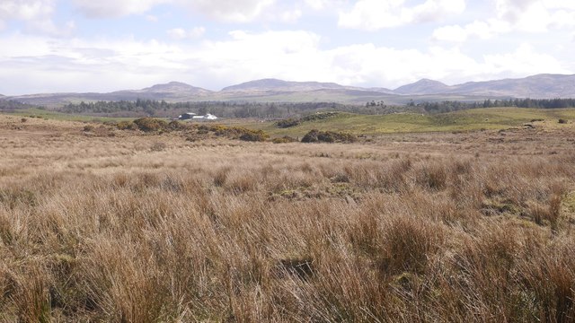
Covering an area of approximately 10 acres, Lochan Dubh is surrounded by lush greenery and towering mountains, providing a stunning backdrop for visitors. Its name, which translates to "black loch" in English, is derived from the dark color of its waters, caused by the presence of peat and other organic matter.
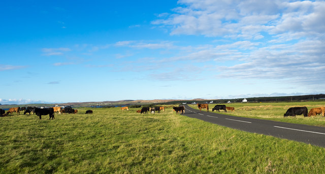
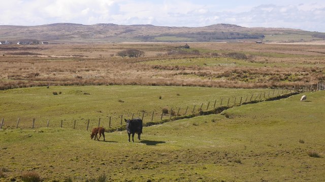
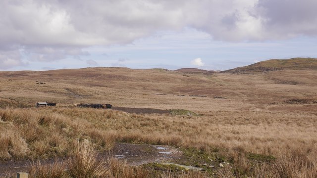
The loch is known for its calm and tranquil atmosphere, making it an ideal spot for relaxation and reflection. Its still waters reflect the surrounding scenery, creating a mesmerizing sight. The shoreline of Lochan Dubh is dominated by dense vegetation, including reeds and water lilies, which provide a haven for various species of birds and other wildlife.
Fishing enthusiasts are drawn to Lochan Dubh for its abundant population of brown trout. Anglers can be seen casting their lines from the banks or using small boats to venture out into the deeper parts of the loch. The loch is managed by local authorities, who ensure the preservation of its ecosystem and the sustainability of fishing activities.
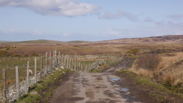
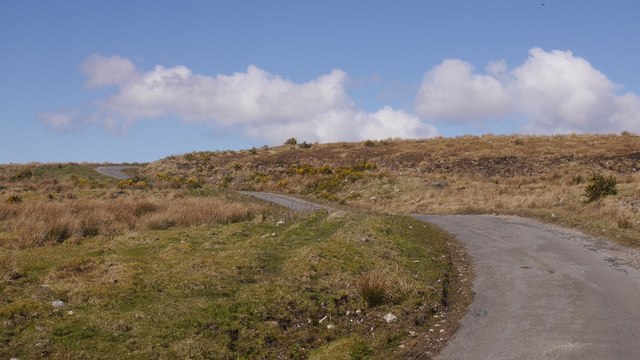
Surrounded by unspoiled nature, Lochan Dubh offers a peaceful retreat for those seeking solitude or a chance to connect with the natural world. Its beauty and tranquility make it a must-visit destination for nature lovers and anyone seeking an escape from the hustle and bustle of everyday life.
If you have any feedback on the listing, please let us know in the comments section below.
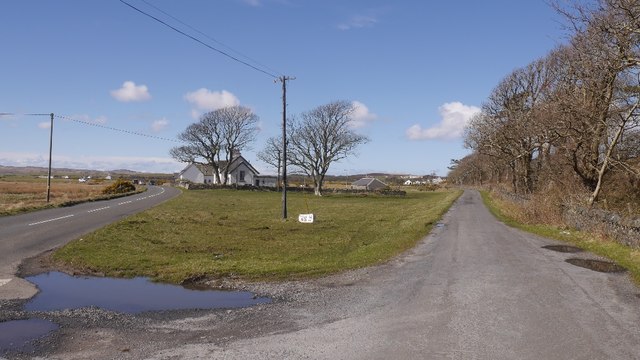
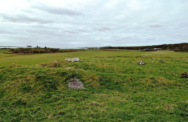
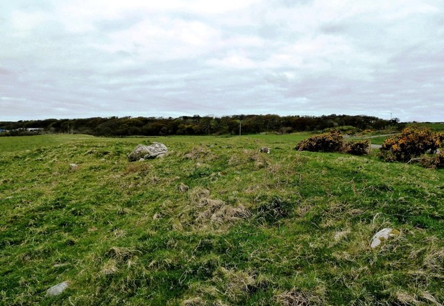
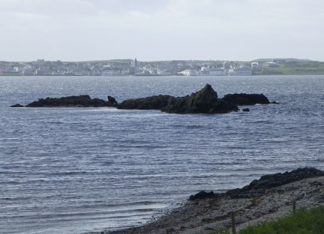
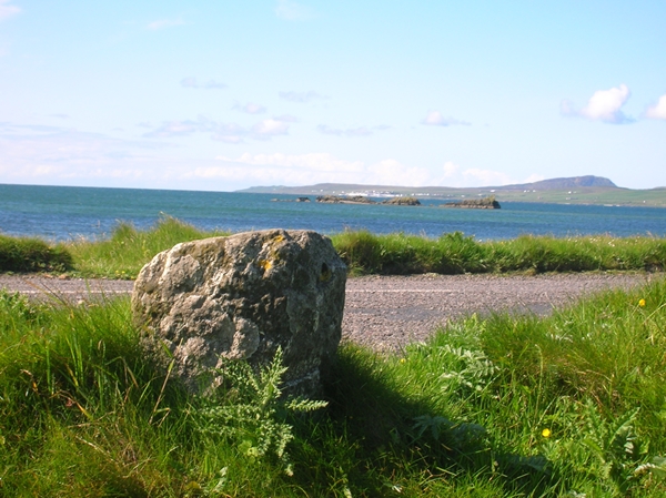
Lochan Dubh Images
Images are sourced within 2km of 55.788967/-6.2988411 or Grid Reference NR3063. Thanks to Geograph Open Source API. All images are credited.
Lochan Dubh is located at Grid Ref: NR3063 (Lat: 55.788967, Lng: -6.2988411)
Unitary Authority: Argyll and Bute
Police Authority: Argyll and West Dunbartonshire
What 3 Words
///elastic.topples.fond. Near Bridgend, Argyll & Bute
Nearby Locations
Related Wikis

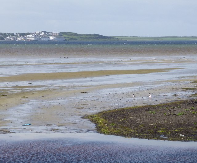
Bridgend Flats
Bridgend Flats is an area of mudflats and saltmarsh near the village of Bridgend on the island of Islay off the west coast of Scotland. Covering an area...

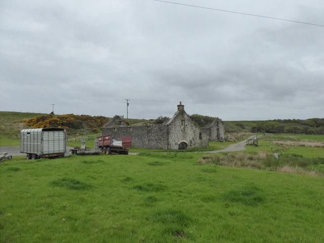
Islay House
Islay House is a Category A listed country house near Bridgend, Islay in the county of Argyll, in western Scotland on the shores of Loch Indaal. ��2�...

Bridgend, Islay
Bridgend (Scottish Gaelic: Beul an Àtha) is a village on the Inner Hebrides island of Islay off the western coast of Scotland at the tip of Loch Indaal...

Bowmore distillery
Bowmore distillery ( boh-MOR, Scottish Gaelic: Taigh-staile Bogh Mòr) produces Scotch whisky on the Isle of Islay, an island of the Inner Hebrides.The...
Nearby Amenities
Located within 500m of 55.788967,-6.2988411Have you been to Lochan Dubh?
Leave your review of Lochan Dubh below (or comments, questions and feedback).