Blackridge
Settlement in West Lothian
Scotland
Blackridge

Blackridge is a small village located in the county of West Lothian, Scotland. Situated approximately 25 miles west of Edinburgh, it lies within the Bathgate Hills and is surrounded by beautiful countryside. With a population of around 1,600 people, it maintains a close-knit community atmosphere.
The village primarily developed as a mining community in the late 19th century, with coal mining being the main industry for many years. However, the closure of the last mine in 1962 led to a shift in the local economy towards other sectors such as agriculture, retail, and service industries.
Blackridge is well-connected to nearby towns and cities, with good transport links including a train station on the Glasgow-Edinburgh line. This makes it an attractive location for commuters working in either city. The village is also served by regular bus services.
In terms of amenities, Blackridge has a range of local shops, including a post office, convenience stores, and a pharmacy, catering to the day-to-day needs of its residents. There are also several pubs and restaurants, offering a variety of dining options.
The village benefits from its picturesque surroundings, with opportunities for outdoor activities such as walking, cycling, and horse riding. There are several parks and green spaces nearby, including the popular Blackridge Reservoir, which offers scenic views and wildlife-spotting opportunities.
Blackridge is home to a primary school, providing education for local children, while older students typically attend secondary schools in nearby towns. The village also has a community center, which hosts various events and activities throughout the year, fostering a sense of community spirit among residents.
Overall, Blackridge offers a peaceful and rural lifestyle, combined with convenient access to nearby urban areas, making it an attractive place to live for those seeking a balance between countryside living and accessibility to amenities.
If you have any feedback on the listing, please let us know in the comments section below.
Blackridge Images
Images are sourced within 2km of 55.884211/-3.767977 or Grid Reference NS8967. Thanks to Geograph Open Source API. All images are credited.


![Track to Drumbeg [2]](https://s1.geograph.org.uk/geophotos/04/76/77/4767781_d985454a.jpg)

Blackridge is located at Grid Ref: NS8967 (Lat: 55.884211, Lng: -3.767977)
Unitary Authority: West Lothian
Police Authority: The Lothians and Scottish Borders
What 3 Words
///concerned.nests.tucked. Near Blackridge, West Lothian
Nearby Locations
Related Wikis

Blackridge, West Lothian
Blackridge (Scots: Blackrig, Scottish Gaelic: An Druim Dubh) is a small town in the western part of West Lothian, Scotland. The village name dates to 1581...
Westcraigs (1st station) railway station
Westcraigs railway station served the area of West Craigs (Blackridge) in West Lothian, Scotland, from 1862 to 1956 on the Bathgate and Coatbridge Railway...
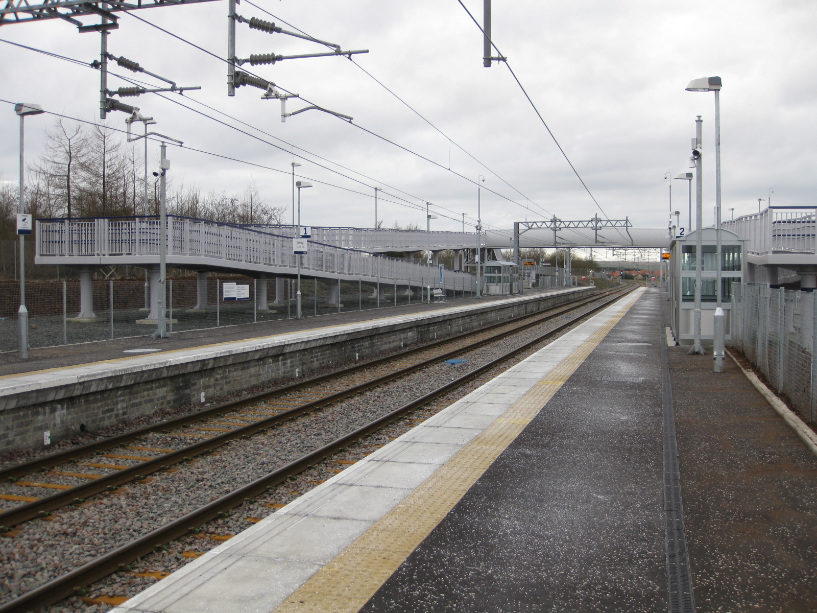
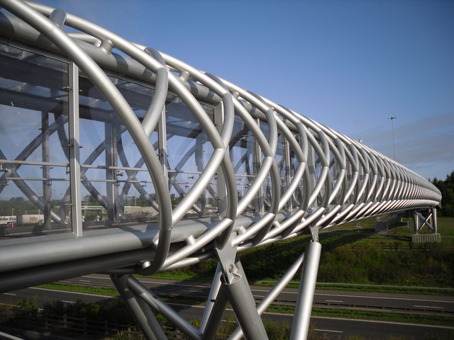
Blackridge railway station
Blackridge railway station is a railway station on the North Clyde Line. It serves the village of Blackridge in West Lothian, Scotland. == History == The...

Blawhorn Moss
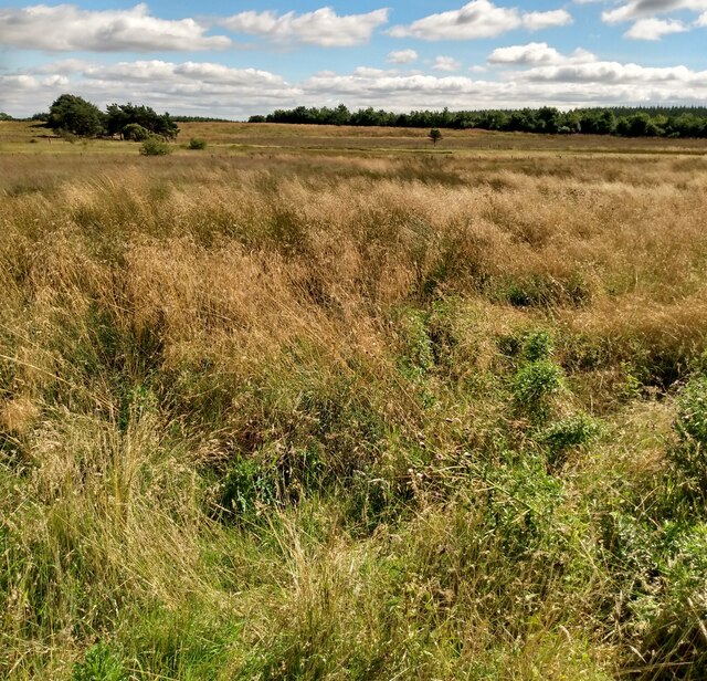
Blawhorn Moss is a raised bog located to the northwest of the village of Blackridge, about 6 kilometres (3.7 mi) west of Armadale in the council area of...

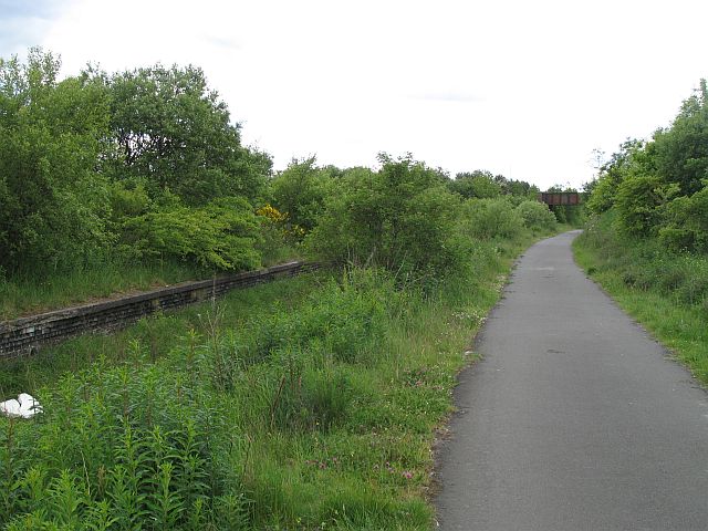
Hillend Loch Railway Path
The Hillend Loch Railway Path, also known as the Airdrie to Bathgate Railway Path, is a rail trail located in central Scotland. The path is approximately...
Heart of Scotland services
Heart of Scotland services, commonly referred to as Harthill services, is a motorway service station on the M8 motorway between junctions 4a & 5, at Harthill...
West Benhar F.C.
West Benhar Football Club (also known simply as Benhar) was a senior football club from the small mining settlement of West Benhar, a mile to the south...

Harthill, Scotland
Harthill is a rural village split between North Lanarkshire and West Lothian in Scotland, with most of the village in North Lanarkshire. It is located...
Nearby Amenities
Located within 500m of 55.884211,-3.767977Have you been to Blackridge?
Leave your review of Blackridge below (or comments, questions and feedback).