Blackrock
Settlement in Brecknockshire
Wales
Blackrock

Blackrock is a small village located in the historic county of Brecknockshire, which is now part of Powys, Wales. Situated on the banks of the River Usk, the village is nestled within the scenic countryside, offering picturesque views and a tranquil atmosphere.
The origins of Blackrock can be traced back to the medieval period when it served as a strategic crossing point on the river. This historical significance is reflected in the presence of a well-preserved stone bridge that dates back to the 17th century. The bridge, known as Blackrock Bridge, not only provides a functional connection between the village and the surrounding areas but also adds to the village's charm and character.
The village itself is small, with a close-knit community that values its rural setting. Many of the buildings in Blackrock showcase traditional Welsh architecture, featuring stone walls and slate roofs. The village also boasts a charming church, St. Mary's, which is a focal point for the local community.
Residents and visitors alike can enjoy the natural beauty of the area by exploring the nearby countryside. The rolling hills and lush green landscapes offer opportunities for walking, hiking, and other outdoor activities. The River Usk is also popular among anglers, with its abundant salmon and trout populations.
While Blackrock is primarily a residential area, it benefits from its proximity to larger towns such as Brecon, which is just a short drive away. This allows residents to access a wider range of amenities, including shops, schools, and healthcare facilities.
In summary, Blackrock is a charming village in Brecknockshire, Wales, offering a peaceful and idyllic setting amidst stunning natural landscapes. Its historical significance, traditional architecture, and close community make it a desirable place to live or visit.
If you have any feedback on the listing, please let us know in the comments section below.
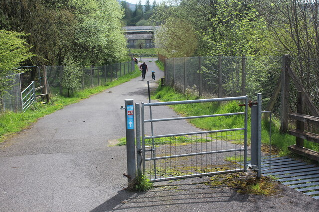
Blackrock Images
Images are sourced within 2km of 51.807181/-3.140303 or Grid Reference SO2112. Thanks to Geograph Open Source API. All images are credited.


Blackrock is located at Grid Ref: SO2112 (Lat: 51.807181, Lng: -3.140303)
Unitary Authority: Monmouthshire
Police Authority: Gwent
What 3 Words
///guarded.dished.interviewer. Near Brynmawr, Blaenau Gwent
Nearby Locations
Related Wikis

River Clydach, Monmouthshire
The River Clydach is a short, steep and fast-flowing river in Monmouthshire and the county borough of Blaenau Gwent in south Wales. It lies within the...

Cwm Clydach National Nature Reserve
Cwm Clydach National Nature Reserve is a 24.8 hectares (61 acres) area of steeply sloping valley-side on Clydach Gorge, 2 miles (3.2 km) east of Brynmawr...

Gelli Felen Halt railway station
Gelli Felen Halt railway station was a station on the London and North Western Railway's Heads of the Valleys line near the settlement of Gellifelin in...
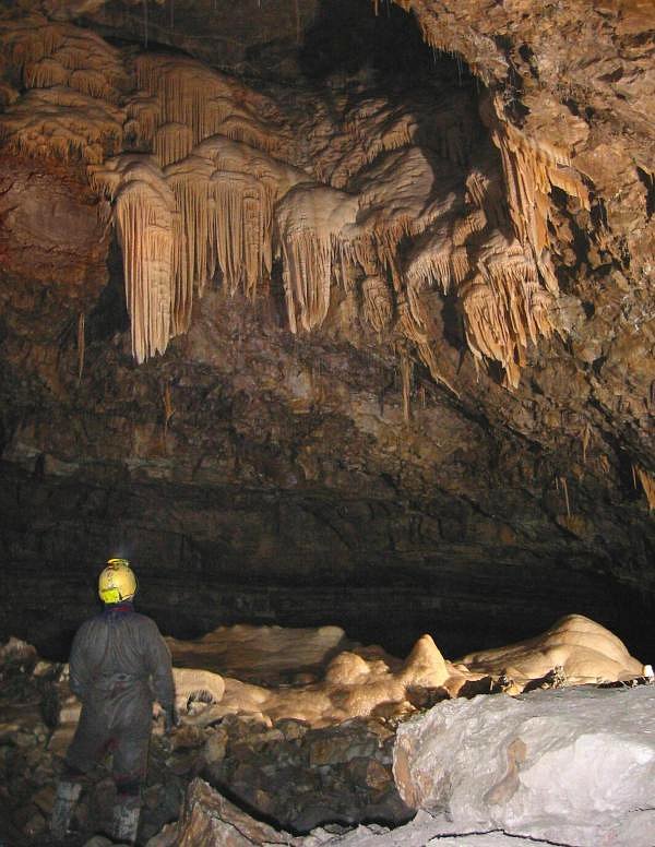
Ogof Craig a Ffynnon
Ogof Craig a Ffynnon (Welsh for "Cave [of the] Rock and Spring") is a cave in Wales. The cave is about 7 km in length and is located at the base of a quarried...
Nearby Amenities
Located within 500m of 51.807181,-3.140303Have you been to Blackrock?
Leave your review of Blackrock below (or comments, questions and feedback).