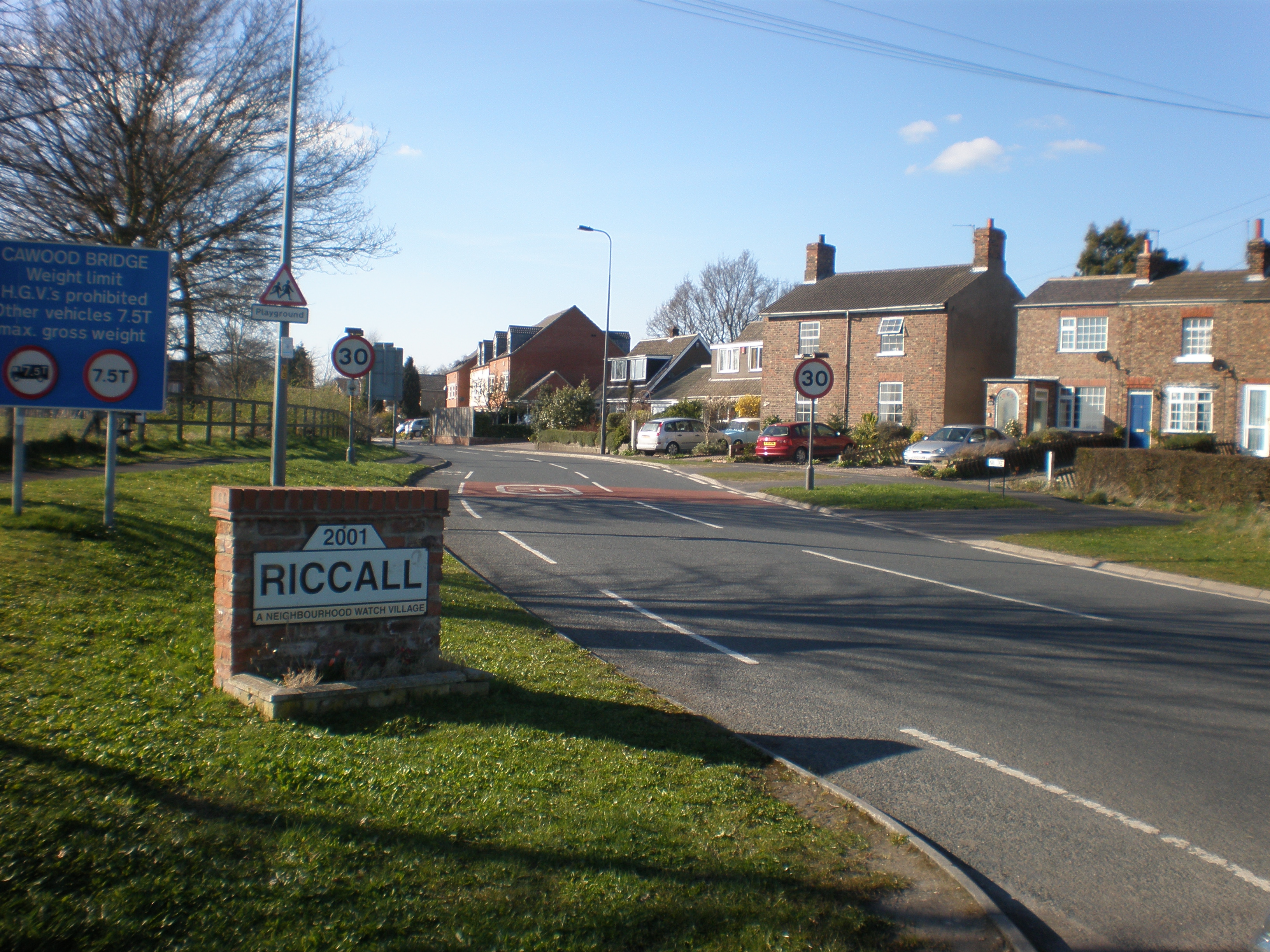
Riccall

Settlement in Yorkshire Selby

England

Riccall

Riccall Village Green, Looking North
Riccall Credit: Paul Allison

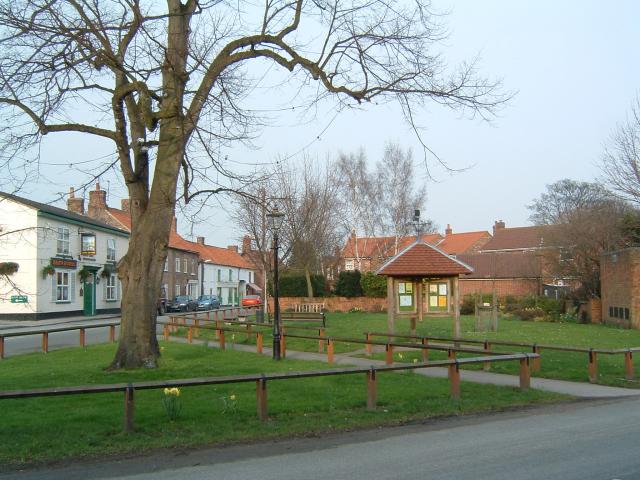
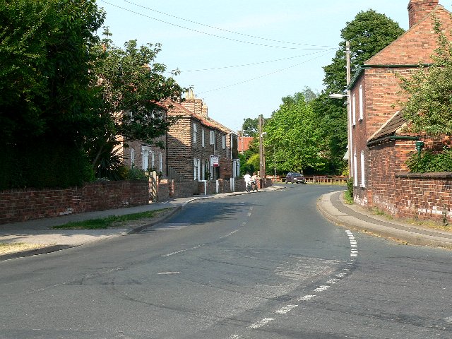
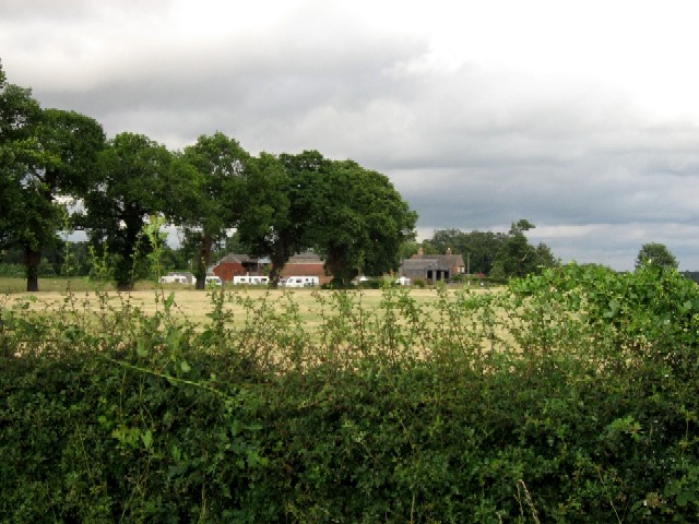
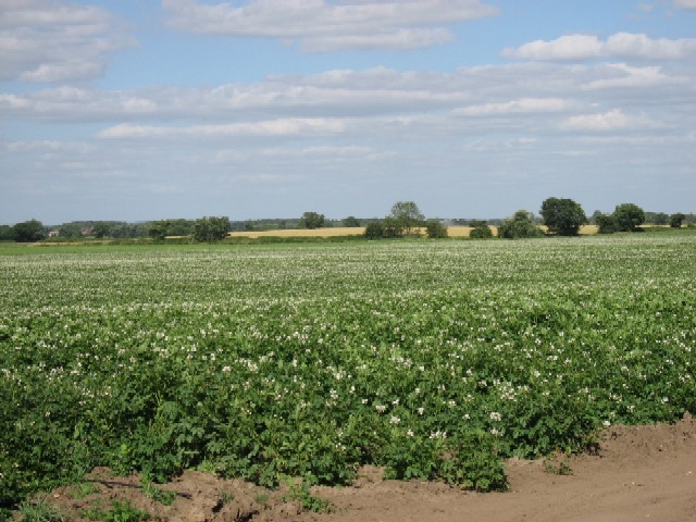
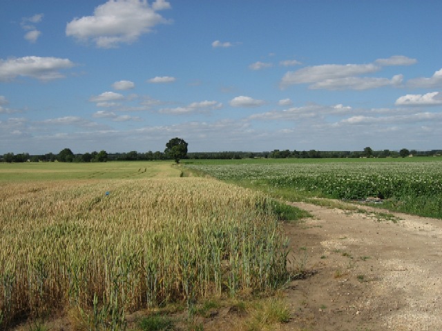
Riccall is a charming village located in the Selby district of North Yorkshire, England. Situated on the eastern bank of the River Ouse, it is surrounded by beautiful countryside and offers a peaceful retreat from the hustle and bustle of city life.

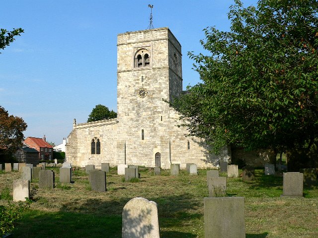
With a population of approximately 3,000 residents, Riccall has a close-knit community that takes pride in its rich history and heritage. The village dates back to the Roman period, and remnants of its past can still be seen in the form of Roman roads and artefacts. The historic St. Mary's Church, built in the 12th century, is a prominent landmark and a testament to Riccall's long-standing presence.

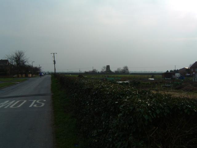
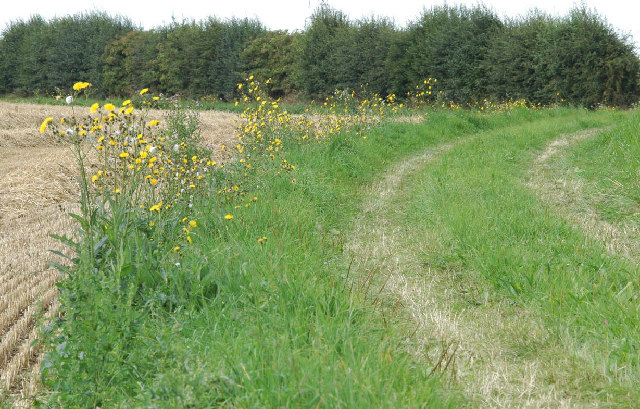
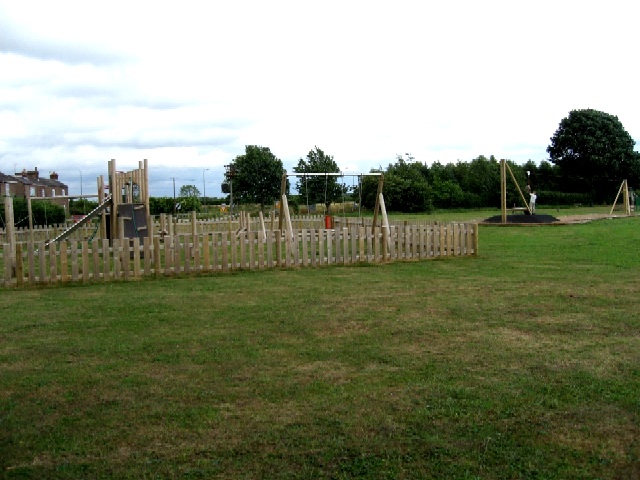
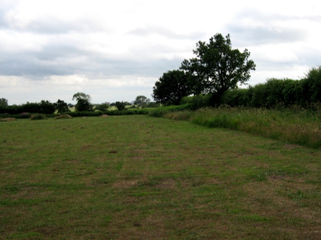
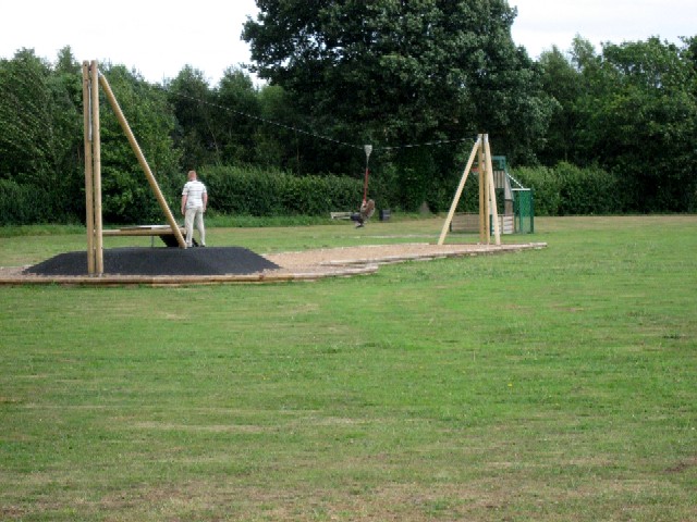
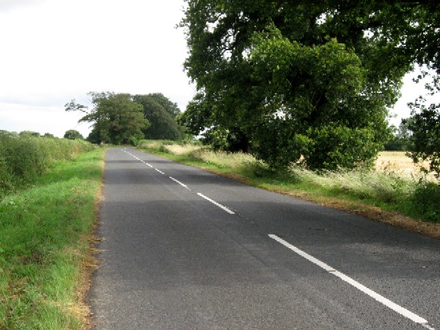
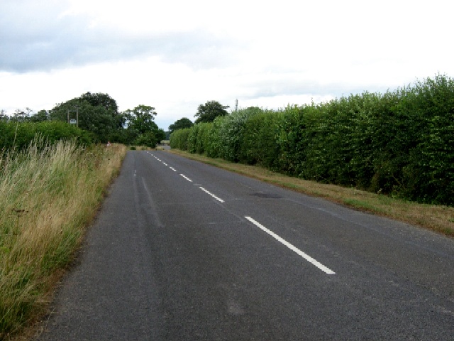
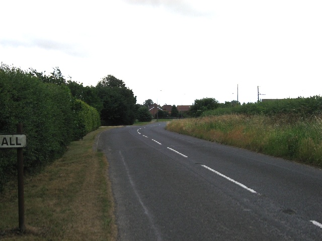
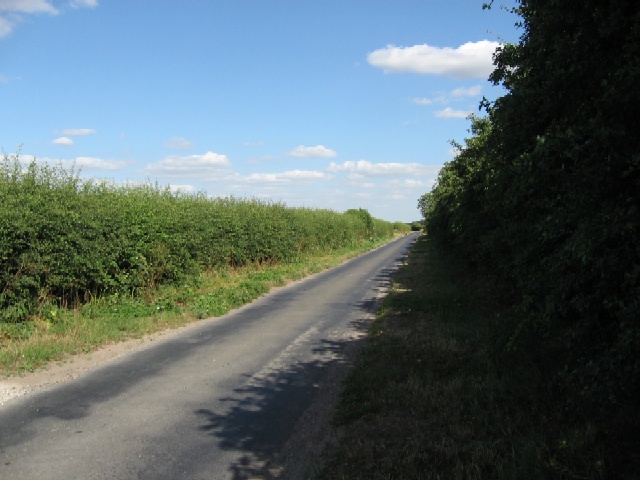
Riccall's picturesque setting provides ample opportunities for outdoor activities. The village is home to various walking and cycling routes, including the popular Trans Pennine Trail that passes through the area. The nearby Riccall Park offers a serene space for relaxation, picnics, and recreational activities.

Amenities in Riccall include a primary school, a village hall, a post office, and a handful of local shops and pubs. The community spirit is fostered through regular events and gatherings, such as the annual Riccall Carnival, which showcases the village's vibrant character.

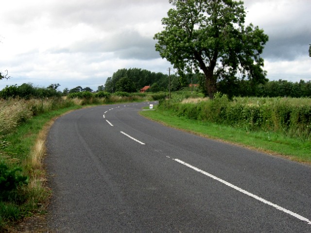
Riccall's convenient location, just off the A19 road, allows for easy access to nearby towns and cities. The city of York is only a short drive away, offering a wealth of cultural, historical, and entertainment attractions.

In conclusion, Riccall is a delightful village that provides a tranquil escape with its natural beauty, rich history, and strong community spirit.

If you have any feedback on the listing, please let us know in the comments section below.

Riccall Images

Images are sourced within 2km of 53.833497/-1.059828 or Grid Reference SE6137. Thanks to Geograph Open Source API. All images are credited.

Riccall Village Green, Looking North
Riccall
Village Green, Looking North
Riccall West Field, Looking South from the edge of the village towards the Windmill.
Riccall
West Field, Looking South from the edge of the village towards the Windmill.
Field edge, Cawood Ings A well-grown hedge in a heavily agricultural area; Field Sowthistle flowers at the edge of recently-harvested field.
Field edge, Cawood Ings
A well-grown hedge in a heavily agricultural area; Field Sowthistle flowers at the edge of recently-harvested field.
Swans on pond
Swans on pond
Riccal Mill restaurant
Silver Street, Riccall
Riccall Parish Church
Riccall Recreation Ground Play Area for children up to 12 years of age
Riccall Recreation Ground
Play Area for children up to 12 years of age
Riccall Recreation Ground A footpath south runs down the right of the area of grass
Riccall Recreation Ground
A footpath south runs down the right of the area of grass
Riccall Recreation Ground It appeared the adult would have liked a go
Riccall Recreation Ground
It appeared the adult would have liked a go
"Approach Farm" Apparently, Approach Farm also deals in caravans
"Approach Farm"
Apparently, Approach Farm also deals in caravans
Road to The Hollicarrs From the A19, the road was signposted to The Hollicarrs, which turned out to be the name of a house on the road
Road to The Hollicarrs
From the A19, the road was signposted to The Hollicarrs, which turned out to be the name of a house on the road
Road to The Hollicarrs The Hollicarrs road runs as a crescent from the present A19, possibly resulting from re-alignment of the main road.
Road to The Hollicarrs
The Hollicarrs road runs as a crescent from the present A19, possibly resulting from re-alignment of the main road.
The Southern Road to The Hollicarrs The southern end of the crescent-shaped road from the A19
The Southern Road to The Hollicarrs
The southern end of the crescent-shaped road from the A19
The Southern Road to The Hollicarrs At the Riccall boundary
The Southern Road to The Hollicarrs
At the Riccall boundary
More Potatoes and Barley
King Rudding Lane to Skipwith Common Skipwith Common is a Nature Reserve
King Rudding Lane to Skipwith Common
Skipwith Common is a Nature Reserve
Potatoes and Barley
Potatoes and Barley
Show me another place!

Riccall is located at Grid Ref: SE6137 (Lat: 53.833497, Lng: -1.059828)

Division: East Riding

Administrative County: North Yorkshire

District: Selby

Police Authority: North Yorkshire

What 3 Words

///extent.reminds.aimed. Near Riccall, North Yorkshire

Related Wikis

Riccall

Riccall is a village and civil parish in North Yorkshire, England, lying 3.5 miles (6 km) to the north of Selby and 9 miles (14 km) south of York. Riccall...

St Mary's Church, Riccall

St Mary's Church is the parish church of Riccall, a village north of Selby in North Yorkshire, England. The oldest part of the church are the three western...

Riccall railway station

Riccall railway station was a railway station which served the village of Riccall, north of Selby, on the East Coast Main Line. It was opened in 1871,...

Riccal Rural District

Riccal was a rural district in the East Riding of Yorkshire, England from 1894 to 1935.It was formed in 1894 from that part of the Selby rural sanitary...

RAF Riccall

RAF Riccall is a former Royal Air Force airfield located 3.1 miles (5 km) north east of Selby, North Yorkshire and 7.9 miles (12.7 km) south west of Elvington...

Kelfield, North Yorkshire

Kelfield is a small village and civil parish in the Selby district of North Yorkshire, England. It was historically part of the East Riding of Yorkshire...

Wistow, North Yorkshire

Wistow is a small village and civil parish just north of Selby, North Yorkshire, England. In the 2011 Census it had 1,333 residents; an increase from 2001...

All Saints' Church, Wistow

All Saints' Church is the parish church of Wistow, a village north-west of Selby in North Yorkshire, in England. There has been a church on the site since...

Nearby Amenities

Located within 500m of 53.833497,-1.059828
Traffic Signals
Crossing: no
Traffic Signals Direction: backward
Lat/Long: 53.8327498/-1.0585391
Riccall
Is In: North Yorkshire
Place: village
Lat/Long: 53.8335342/-1.0590592
Post Box
Post Box Design: type_a
Post Box Type: pillar
Ref: YO19 314
Royal Cypher: EIIR
Royal Cypher Wikidata: Q33102113
Source: survey
Lat/Long: 53.8348641/-1.0582579
Nisa
Shop: supermarket
Lat/Long: 53.8325995/-1.0581717
Pub
Greyhound Inn
Addr City: York
Addr Postcode: YO19 6TE
Addr Street: Main Street
Addr Suburb: Riccall
Floor Material: carpet
Food: At least pies
Real Ale: 4 beers
Wheelchair: yes
Wheelchair Description: Step free access to pub, then flat
Lat/Long: 53.8341828/-1.0579586
Pub
Hare and Hounds
Addr City: York
Addr Postcode: YO19 6PA
Addr Street: Silver Street
Addr Suburb: Riccall
Floor Material: carpet
Real Ale: 2 from Marstons
Lat/Long: 53.8337729/-1.0591387
Restaurant
Riccall Spice
Lat/Long: 53.8338998/-1.0585979
Bus Stop
Bus: yes
Public Transport: platform
Lat/Long: 53.8336639/-1.0582196
Bus Stop
Bus: yes
Public Transport: platform
Lat/Long: 53.8366412/-1.056833
Bus Stop
Bus: yes
Public Transport: platform
Lat/Long: 53.8367394/-1.0570476
Turning Circle
Lat/Long: 53.8346923/-1.0638225
Turning Circle
Lat/Long: 53.8343867/-1.0648777
Turning Circle
Lat/Long: 53.8335732/-1.0645615
Bus Stop
Bench: yes
Bus: yes
Naptan AtcoCode: 3200YNA00676
Naptan NaptanCode: 32000676
Public Transport: platform
Shelter: yes
Tactile Paving: no
Lat/Long: 53.8323441/-1.0580528
Shop: butcher
Lat/Long: 53.8339204/-1.0585013
Park View Hotel
Addr City: York
Addr Housenumber: 20
Addr Postcode: YO19 6PX
Addr Street: Main Street
Addr Suburb: Riccall
Tourism: guest_house
Lat/Long: 53.8307338/-1.055621
Turning Circle
Lat/Long: 53.8310861/-1.0626498
Bicycle Parking
Bicycle Parking: front_wheel
Capacity: 5
Covered: no
Source: survey
Lat/Long: 53.8348227/-1.058247
Post Box
Post Box Type: lamp
Ref: YO19 518
Lat/Long: 53.8316645/-1.0603886
Power: pole
Lat/Long: 53.8330947/-1.0673583
Power: pole
Lat/Long: 53.8321989/-1.06698
Traffic Signals
Crossing: no
Traffic Signals Direction: forward
Lat/Long: 53.8332027/-1.0587392
Traffic Signals
Crossing: no
Traffic Signals Direction: forward
Lat/Long: 53.8332112/-1.0584955
Post Office
Riccall Post Office
Addr City: York
Addr Country: GB
Addr Housenumber: 53
Addr Postcode: YO19 6QE
Addr Street: Main Street
Addr Suburb: Riccall
Brand: Post Office
Brand Wikidata: Q1783168
Opening Hours Post Office: Mo-Fr 07:45-17:30; Sa 08:30-15:00
Ref Pol Id: 9457
Website: https://www.postoffice.co.uk/branch-finder/2423499/riccall
Lat/Long: 53.8348191/-1.0583342
Entrance: yes
Lat/Long: 53.832987/-1.0602299
Place Of Worship
Riccall Methodist Church
Addr City: York
Addr Postcode: YO19 6QD
Addr Street: Main Street
Addr Suburb: Riccall
Building: church
Denomination: methodist
Religion: christian
Lat/Long: 53.8335311/-1.0581233
Restaurant
Per Bacco Restaurant
Cuisine: italian
Lat/Long: 53.8307206/-1.0555487
Dairymans Cottage Bed and Breakfast
Addr City: York
Addr Housenumber: 14
Addr Postcode: YO19 6PG
Addr Street: Kelfield Road
Addr Suburb: Riccall
Guest House: bed_and_breakfast
Tourism: guest_house
Lat/Long: 53.8336558/-1.0624174
Barrier: cycle_barrier
Lat/Long: 53.8346304/-1.0614466
Entrance: main
Lat/Long: 53.8349937/-1.0619904
Turning Circle
Lat/Long: 53.8321084/-1.0593421
Entrance: yes
Lat/Long: 53.8336998/-1.0580202
Defibrillator
Access: yes
Addr City: York
Addr Postcode: YO19 6PZ
Addr Suburb: Riccall
Defibrillator Location: outside Riccall Surgery, Main Street Riccall
Emergency: defibrillator
Indoor: no
Ref: NCPAD216
Ref GB The Circuit: BBBF932F-3720-4A88-BD31-AFC700C302CA
Lat/Long: 53.8336949/-1.0579854
Turning Circle
Lat/Long: 53.8345632/-1.0560398
Information: board
Shelter: yes
Lat/Long: 53.8334721/-1.0592908
Riccall
Abandoned Railway: station
Railway: site
Lat/Long: 53.8318927/-1.0531525
Generator Method: photovoltaic
Generator Output Electricity: yes
Generator Source: solar
Generator Type: solar_photovoltaic_panel
Power: generator
Lat/Long: 53.8299814/-1.0589511
Generator Method: photovoltaic
Generator Output Electricity: yes
Generator Source: solar
Generator Type: solar_photovoltaic_panel
Power: generator
Lat/Long: 53.830247/-1.0580869
Generator Method: photovoltaic
Generator Output Electricity: yes
Generator Source: solar
Generator Type: solar_photovoltaic_panel
Power: generator
Lat/Long: 53.8302533/-1.0578219
Generator Method: photovoltaic
Generator Output Electricity: yes
Generator Source: solar
Generator Type: solar_photovoltaic_panel
Power: generator
Lat/Long: 53.8303006/-1.057349
Generator Method: photovoltaic
Generator Output Electricity: yes
Generator Source: solar
Generator Type: solar_photovoltaic_panel
Power: generator
Lat/Long: 53.8307703/-1.0543166
Generator Method: photovoltaic
Generator Output Electricity: yes
Generator Source: solar
Generator Type: solar_photovoltaic_panel
Power: generator
Lat/Long: 53.8321495/-1.0537116
Traffic Signals
Crossing: no
Traffic Signals Direction: backward
Lat/Long: 53.8329244/-1.0582783
Bench
Backrest: no
Lat/Long: 53.8336086/-1.0591193
Bicycle Parking
Bicycle Parking: wall_loops
Capacity: 5
Covered: no
Lat/Long: 53.8336548/-1.0589568
Bench
Backrest: yes
Lat/Long: 53.8335988/-1.0590741
Bench
Backrest: no
Lat/Long: 53.8335928/-1.0591633
Bench
Backrest: yes
Lat/Long: 53.8335612/-1.0591663
Bench
Backrest: yes
Lat/Long: 53.8332491/-1.0594438
Information: route_marker
Tourism: information
Lat/Long: 53.8362396/-1.0573014
Information: route_marker
Tourism: information
Lat/Long: 53.8351119/-1.0581316
Cafe
Pickled@Riccal
Note: Former post office, still appears to contain operational post office counter
Website: https://www.facebook.com/Thepickledpostie/
Lat/Long: 53.8348515/-1.0583515
Generator Method: photovoltaic
Generator Output Electricity: yes
Generator Source: solar
Generator Type: solar_photovoltaic_panel
Location: roof
Power: generator
Lat/Long: 53.8337817/-1.0654073
Generator Method: photovoltaic
Generator Output Electricity: yes
Generator Source: solar
Generator Type: solar_photovoltaic_panel
Location: roof
Power: generator
Lat/Long: 53.8334667/-1.0649957
Information: route_marker
Tourism: information
Lat/Long: 53.8340971/-1.0580239
Information: route_marker
Tourism: information
Lat/Long: 53.8308783/-1.0564776
Information: route_marker
Tourism: information
Lat/Long: 53.8330152/-1.0585013
Information: route_marker
Tourism: information
Lat/Long: 53.8331363/-1.058449
The data included in this document is from www.openstreetmap.org. The data is made available under ODbL.

Have you been to Riccall?

Leave your review of Riccall below (or comments, questions and feedback).