Goaling March Clough
Valley in Yorkshire Selby
England
Goaling March Clough
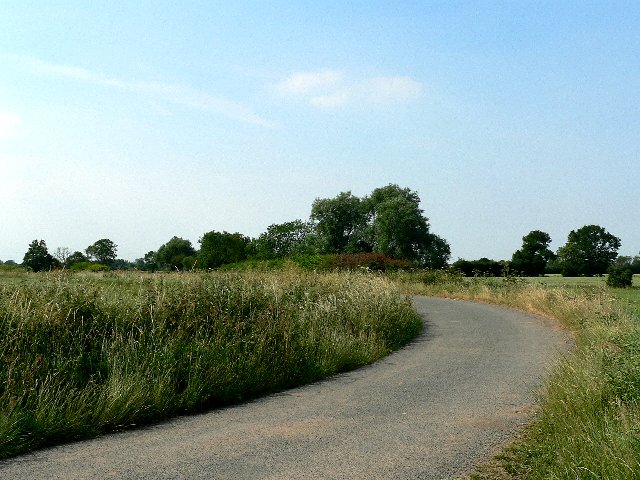
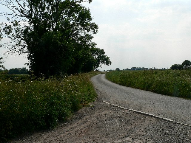
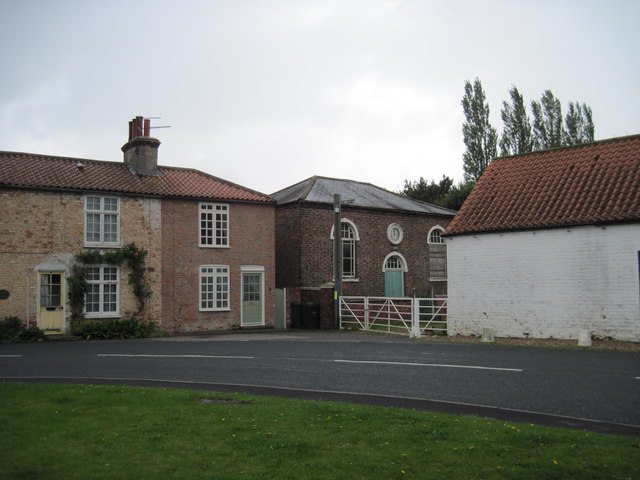
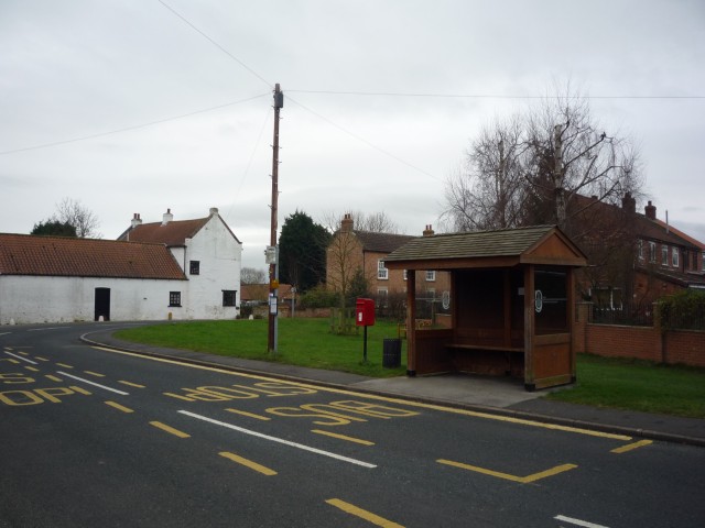
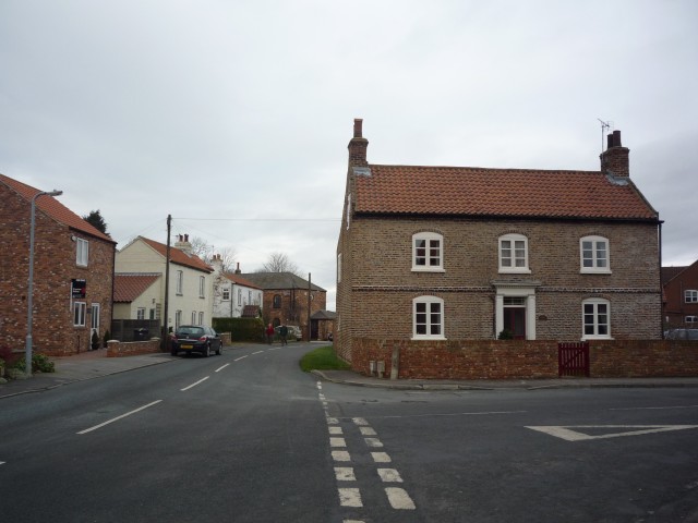
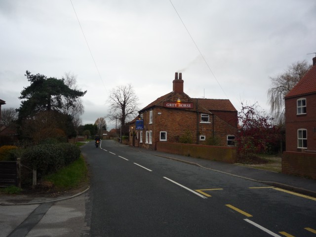
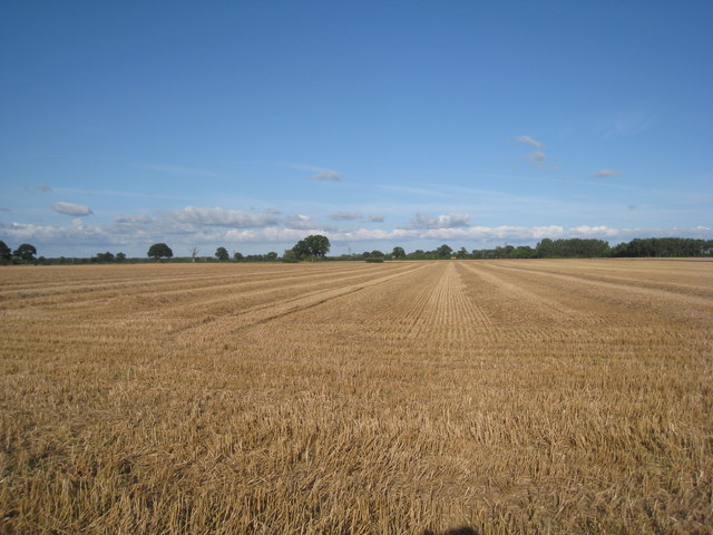
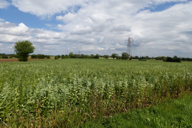
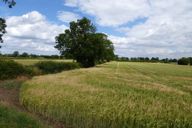
March Clough is a picturesque valley located in Yorkshire, England. Nestled amidst the rolling hills of the region, this tranquil and scenic spot offers a peaceful escape from the hustle and bustle of everyday life. The valley is surrounded by lush greenery and dotted with charming cottages, creating a charming and idyllic atmosphere.
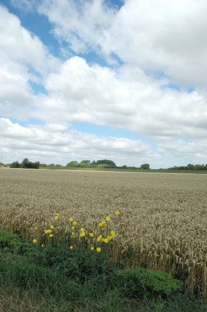
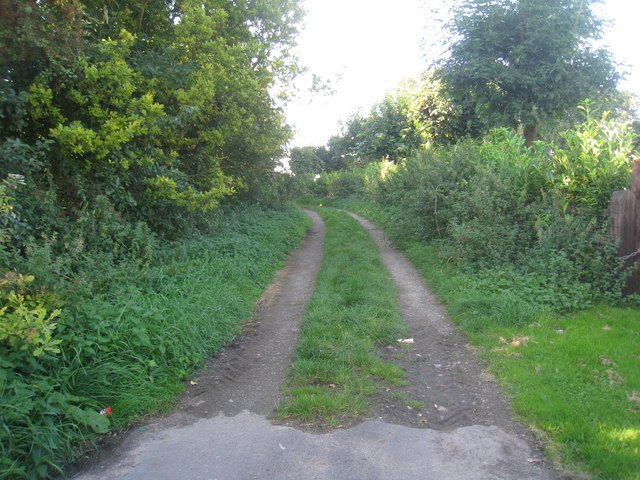
Goaling March Clough is known for its natural beauty, with a meandering stream running through the valley and providing a soothing soundtrack to visitors. The area is rich in wildlife, and visitors may spot a variety of bird species and small mammals while exploring the valley.
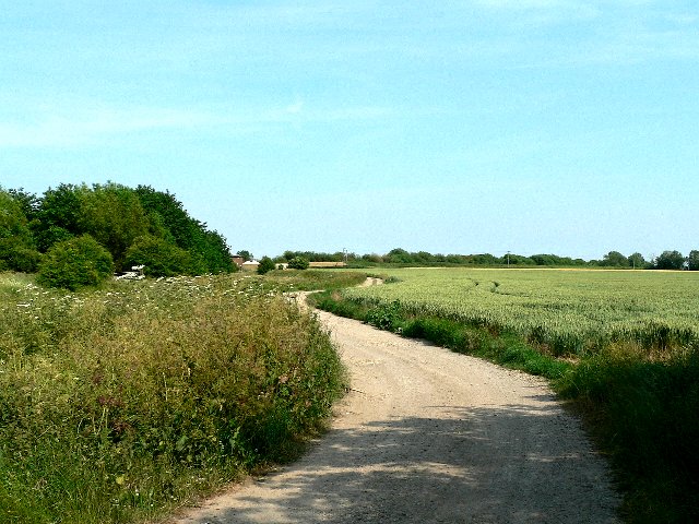
The walking trails in Goaling March Clough are a major attraction, offering visitors the opportunity to immerse themselves in the stunning natural surroundings. The trails meander through the valley, taking hikers past meadows, woodlands, and babbling brooks. The scenery changes with the seasons, with vibrant wildflowers in the spring and golden foliage in the autumn.
For those interested in history, Goaling March Clough also has cultural significance. The valley is home to several archaeological sites, including ancient burial mounds and remnants of Iron Age settlements. These sites provide a glimpse into the area's rich past and offer an opportunity for visitors to connect with history.
Overall, Goaling March Clough is a hidden gem in Yorkshire, offering visitors a chance to reconnect with nature, explore walking trails, and discover the area's historical significance. It is a must-visit destination for those seeking tranquility and natural beauty in the heart of Yorkshire.
If you have any feedback on the listing, please let us know in the comments section below.
Goaling March Clough Images
Images are sourced within 2km of 53.833433/-1.0719869 or Grid Reference SE6137. Thanks to Geograph Open Source API. All images are credited.
Goaling March Clough is located at Grid Ref: SE6137 (Lat: 53.833433, Lng: -1.0719869)
Division: East Riding
Administrative County: North Yorkshire
District: Selby
Police Authority: North Yorkshire
What 3 Words
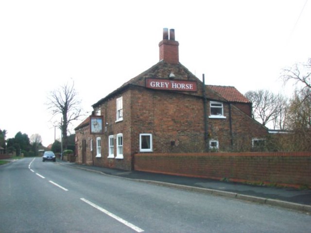
///tentacles.love.tanks. Near Riccall, North Yorkshire
Nearby Locations
Related Wikis

St Mary's Church, Riccall
St Mary's Church is the parish church of Riccall, a village north of Selby in North Yorkshire, England. The oldest part of the church are the three western...
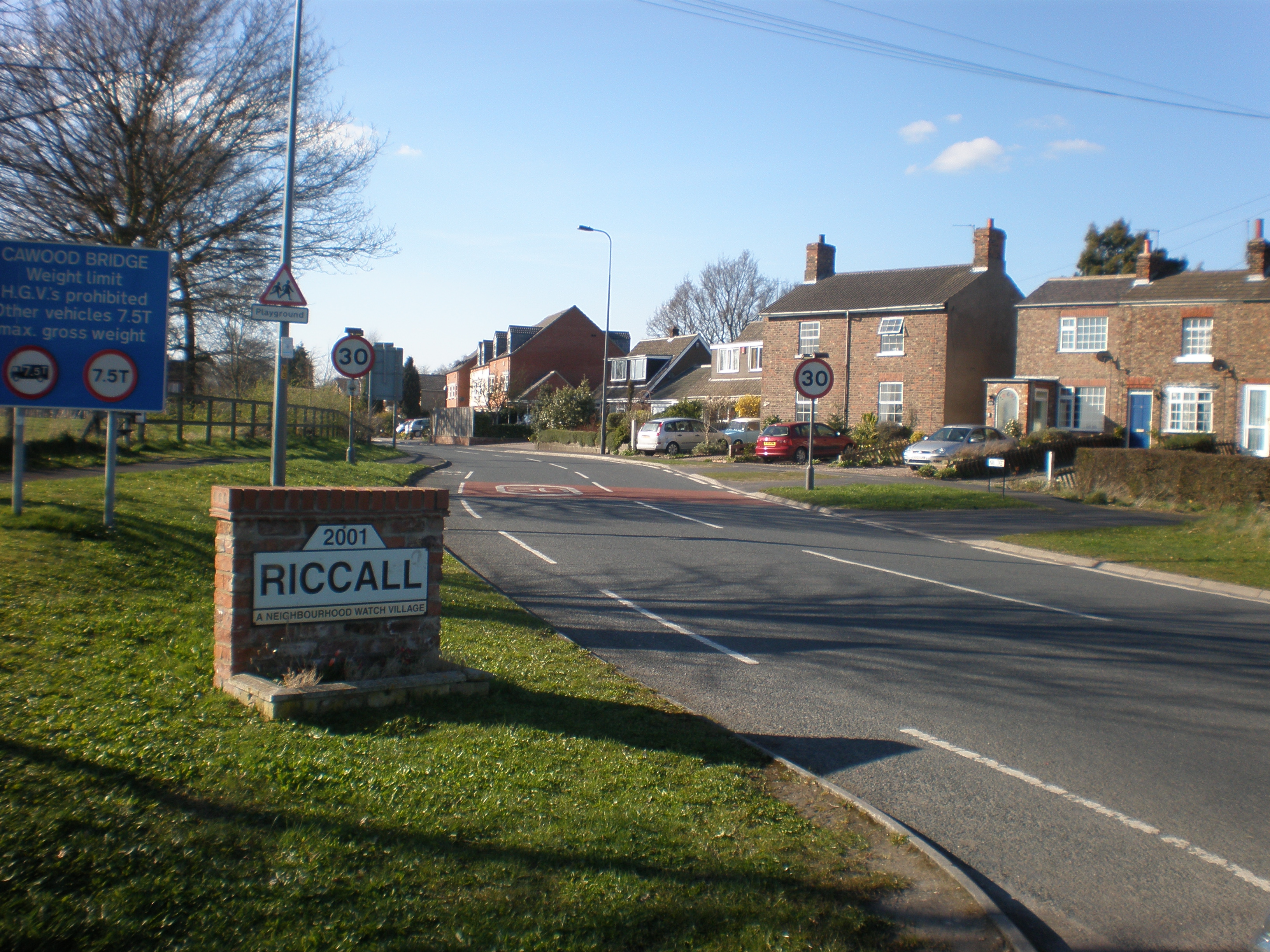
Riccall
Riccall is a village and civil parish in North Yorkshire, England, lying 3.5 miles (6 km) to the north of Selby and 9 miles (14 km) south of York. Riccall...

Riccall railway station
Riccall railway station was a railway station which served the village of Riccall, north of Selby, on the East Coast Main Line. It was opened in 1871,...

Riccal Rural District
Riccal was a rural district in the East Riding of Yorkshire, England from 1894 to 1935.It was formed in 1894 from that part of the Selby rural sanitary...

Kelfield, North Yorkshire
Kelfield is a small village and civil parish in the Selby district of North Yorkshire, England. It was historically part of the East Riding of Yorkshire...

Wistow, North Yorkshire
Wistow is a small village and civil parish just north of Selby, North Yorkshire, England. In the 2011 Census it had 1,333 residents; an increase from 2001...
RAF Riccall
RAF Riccall is a former Royal Air Force airfield located 3.1 miles (5 km) north east of Selby, North Yorkshire and 7.9 miles (12.7 km) south west of Elvington...

All Saints' Church, Wistow
All Saints' Church is the parish church of Wistow, a village north-west of Selby in North Yorkshire, in England. There has been a church on the site since...
Nearby Amenities
Located within 500m of 53.833433,-1.0719869Have you been to Goaling March Clough?
Leave your review of Goaling March Clough below (or comments, questions and feedback).