Riby
Settlement in Lincolnshire West Lindsey
England
Riby
Riby is a small village located in the East Lindsey district of Lincolnshire, England. Situated approximately 7 miles north-west of the town of Grimsby, Riby enjoys a peaceful rural setting surrounded by picturesque countryside.
With a population of around 200 residents, Riby is a close-knit community that exudes a friendly and welcoming atmosphere. The village is known for its charming character and traditional architecture, with many of its buildings dating back several centuries.
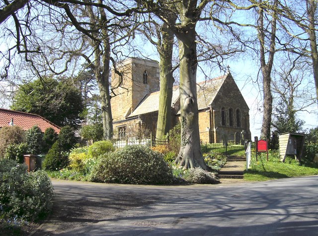
One of the notable landmarks in Riby is the 12th-century St. Edmund's Church, which stands proudly at the heart of the village. This historic church features stunning stained glass windows and a beautiful tower, offering a glimpse into Riby's rich heritage.
Although small in size, Riby offers a range of amenities to cater to the needs of its residents. The village has a primary school, providing education for the younger population, and a village hall that serves as a hub for community events and gatherings. Additionally, there is a local pub that offers a cozy atmosphere and serves delicious food and drinks.
Riby's countryside setting makes it an ideal location for outdoor enthusiasts. The surrounding area boasts scenic walking and cycling routes, allowing residents to explore the natural beauty of Lincolnshire. Furthermore, the nearby Lincolnshire Wolds, an Area of Outstanding Natural Beauty, offers stunning landscapes and opportunities for outdoor activities.
In conclusion, Riby is a charming village characterized by its historical architecture, friendly community, and beautiful countryside surroundings. It provides a peaceful and idyllic place to live or visit, offering a taste of rural English life.
If you have any feedback on the listing, please let us know in the comments section below.
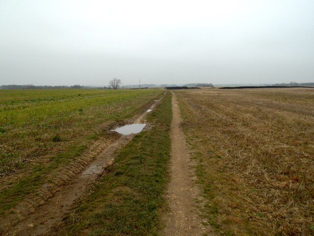
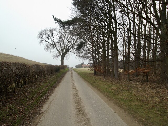
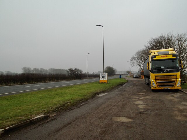
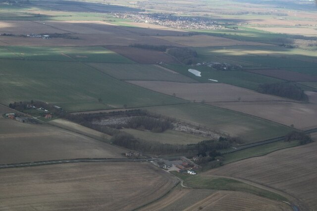
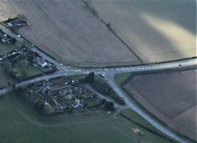
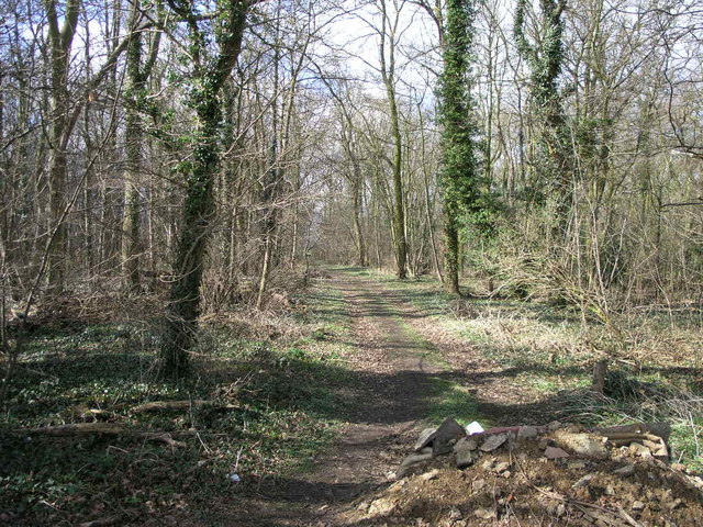
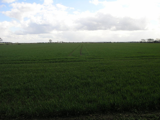
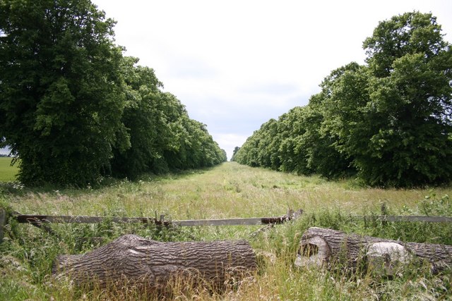
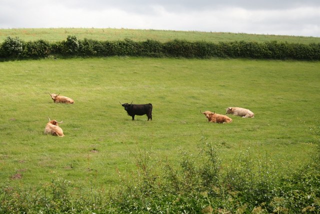
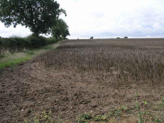
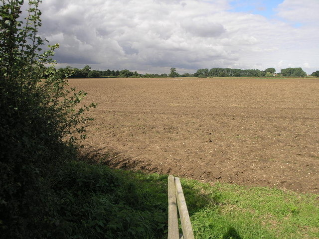
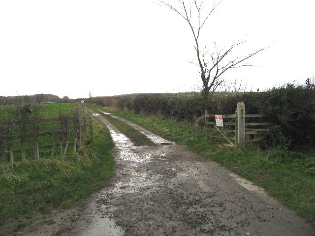
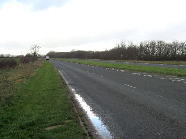
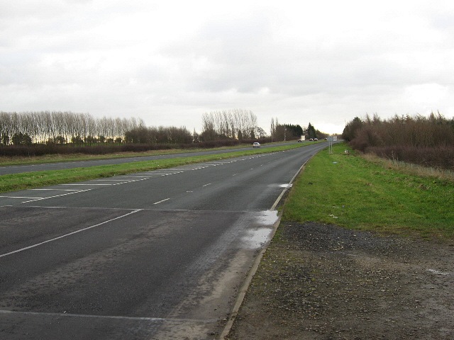
Riby Images
Images are sourced within 2km of 53.551704/-0.215025 or Grid Reference TA1807. Thanks to Geograph Open Source API. All images are credited.


Riby is located at Grid Ref: TA1807 (Lat: 53.551704, Lng: -0.215025)
Division: Parts of Lindsey
Administrative County: Lincolnshire
District: West Lindsey
Police Authority: Lincolnshire
What 3 Words
///honeybees.respond.chop. Near Keelby, Lincolnshire
Related Wikis

Riby
Riby is a village and civil parish in the West Lindsey district of Lincolnshire, England. The population of the civil parish was 129 at the 2011 census...

Aylesby
Aylesby is a village and civil parish in North East Lincolnshire, England. It is situated near the A18 road, approximately 4 miles (6 km) west from Cleethorpes...

Borough of Cleethorpes
Cleethorpes was a local government district in Humberside, England from 1974 to 1996. It was granted borough status in 1975. It was formed on 1 April...
Irby upon Humber
Irby upon Humber or Irby-on-Humber is a small village and (as just Irby) a civil parish in North East Lincolnshire, England. The village is situated on...
Nearby Amenities
Located within 500m of 53.551704,-0.215025Have you been to Riby?
Leave your review of Riby below (or comments, questions and feedback).