Riby Park
Downs, Moorland in Lincolnshire West Lindsey
England
Riby Park
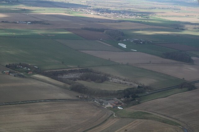
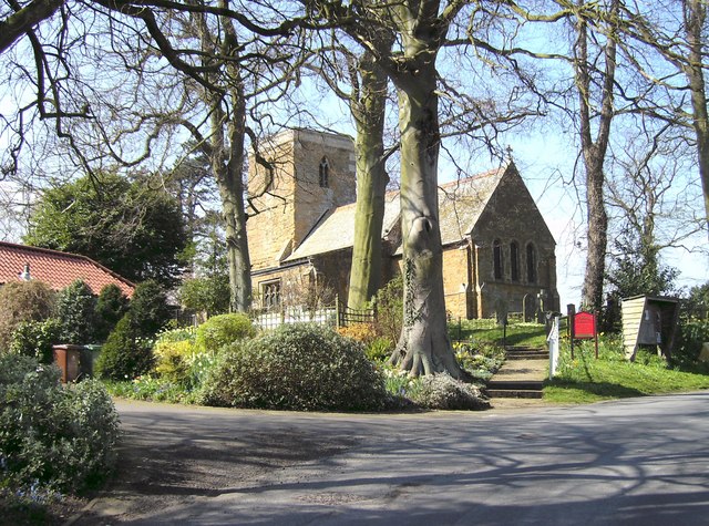
Riby Park, located in Lincolnshire, is a picturesque area encompassing Downs and Moorland landscapes. Spanning over several hectares, the park offers visitors a serene and tranquil environment to explore and appreciate the natural beauty of the region.
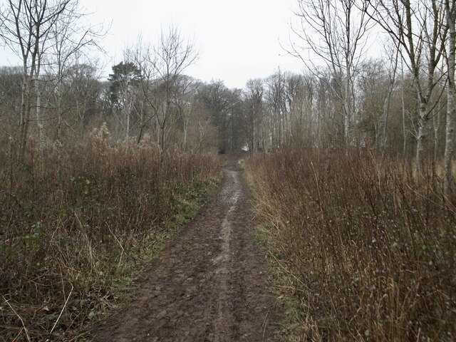
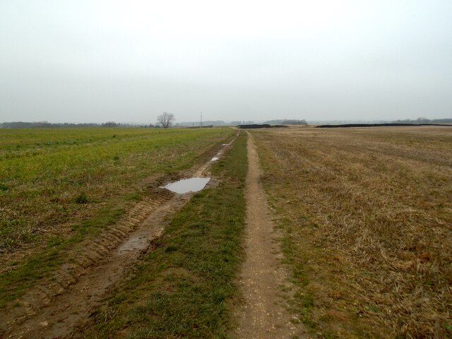
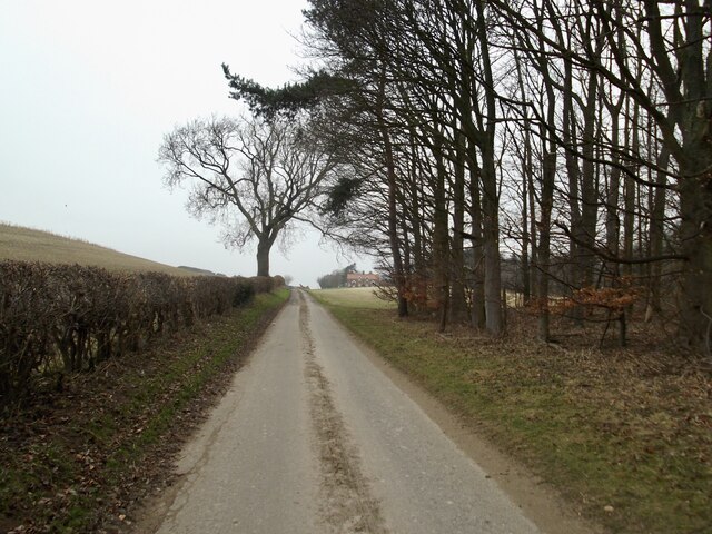
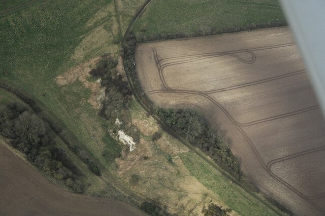
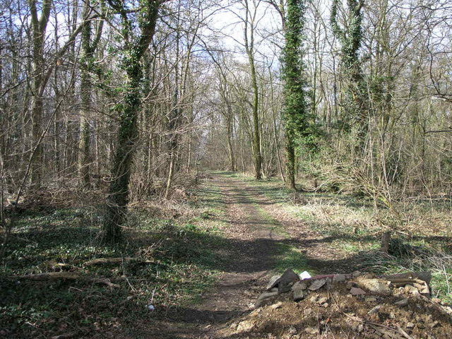
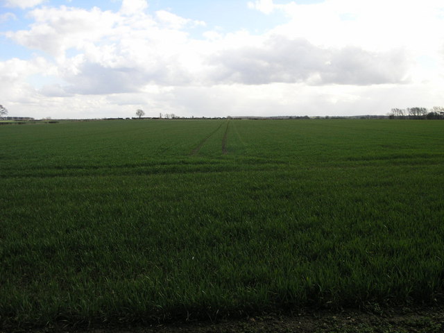
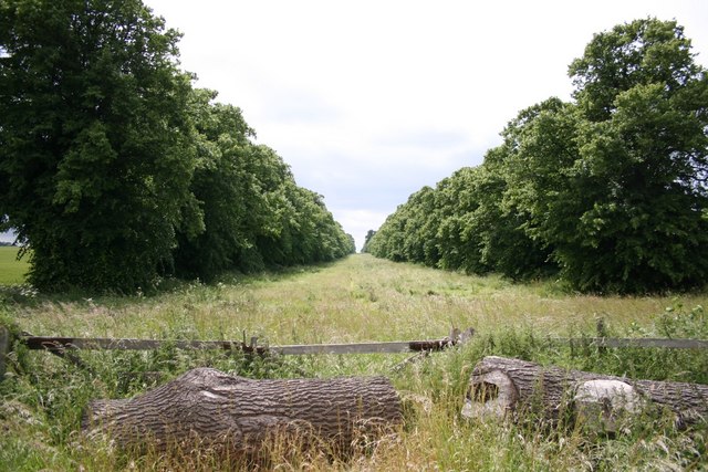
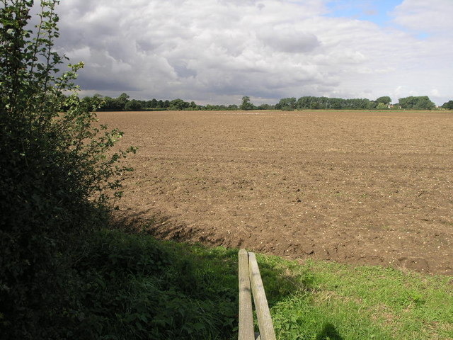
The park is characterized by its rolling hills and breathtaking views, making it a popular destination for nature lovers and outdoor enthusiasts. The Downs area is adorned with lush greenery, dotted with a variety of trees and shrubs, creating a vibrant and vibrant atmosphere. Walking trails wind through the park, allowing visitors to immerse themselves in the stunning surroundings.
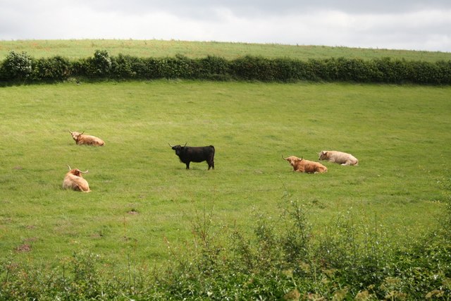
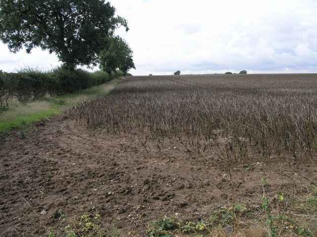
The Moorland section of Riby Park offers a unique landscape, adorned with heather-clad hills and open spaces. This area is home to a diverse range of wildlife, including birds, small mammals, and rare plant species. It is a haven for birdwatchers, who can spot different species throughout the year.
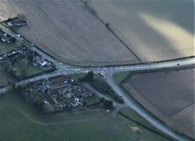
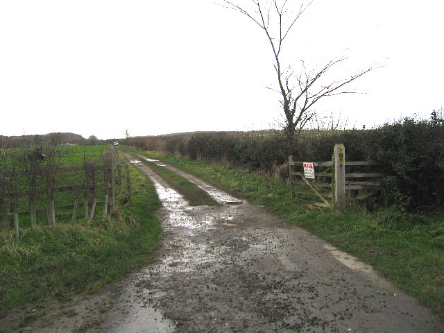
Visitors to Riby Park can also enjoy various recreational activities such as picnicking, cycling, and horseback riding. The park provides ample space for families and friends to gather and enjoy a day in the outdoors. Facilities such as picnic areas, benches, and parking make it a convenient and accessible destination for all.
Overall, Riby Park in Lincolnshire offers a serene and picturesque setting, with its Downs and Moorland landscapes providing a diverse and captivating experience for nature enthusiasts and visitors alike. Whether it's a leisurely stroll, a picnic with loved ones, or simply appreciating the beauty of the surroundings, Riby Park offers something for everyone.
If you have any feedback on the listing, please let us know in the comments section below.
Riby Park Images
Images are sourced within 2km of 53.547302/-0.21027645 or Grid Reference TA1807. Thanks to Geograph Open Source API. All images are credited.


Riby Park is located at Grid Ref: TA1807 (Lat: 53.547302, Lng: -0.21027645)
Administrative County: Lincolnshire
District: West Lindsey
Police Authority: Lincolnshire
What 3 Words
///stocked.delighted.hurls. Near Laceby, Lincolnshire
Related Wikis

Riby
Riby is a village and civil parish in the West Lindsey district of Lincolnshire, England. The population of the civil parish was 129 at the 2011 census...

Aylesby
Aylesby is a village and civil parish in North East Lincolnshire, England. It is situated near the A18 road, approximately 4 miles (6 km) west from Cleethorpes...

Borough of Cleethorpes
Cleethorpes was a local government district in Humberside, England from 1974 to 1996. It was granted borough status in 1975. It was formed on 1 April...
Irby upon Humber
Irby upon Humber or Irby-on-Humber is a small village and (as just Irby) a civil parish in North East Lincolnshire, England. The village is situated on...
Nearby Amenities
Located within 500m of 53.547302,-0.21027645Have you been to Riby Park?
Leave your review of Riby Park below (or comments, questions and feedback).