Countinghouse Hill
Hill, Mountain in Yorkshire Selby
England
Countinghouse Hill
Countinghouse Hill is a prominent hill located in the county of Yorkshire, England. It is situated near the town of Huddersfield, specifically in the Holme Valley area. With an elevation of approximately 290 meters (950 feet), it stands as a notable feature in the region.
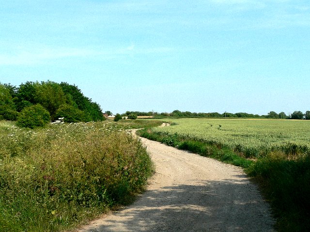
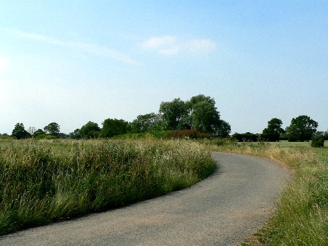
This hill, often referred to as a mountain due to its significant height, is a part of the Pennines, a range of hills and mountains that stretch across northern England. Countinghouse Hill offers breathtaking panoramic views of the surrounding countryside, making it a popular spot for visitors and locals alike.
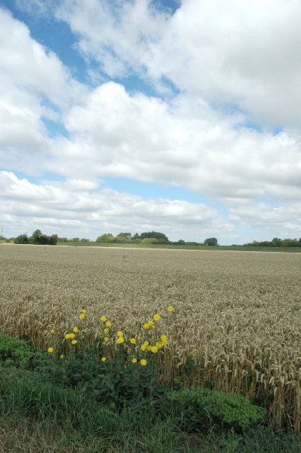
The hill is covered in lush vegetation, including grasses, shrubs, and trees, which add to its natural beauty. It also boasts a variety of wildlife, with several species of birds, small mammals, and insects inhabiting the area.
Countinghouse Hill has historical significance as well. It is believed that the name originates from the hill's association with a countinghouse, which was a place where accounts were kept or money was counted in the past. The exact location and details of this countinghouse, however, remain uncertain.
Outdoor enthusiasts often flock to Countinghouse Hill to enjoy activities such as hiking, walking, and birdwatching. It offers several public footpaths and trails that wind through its slopes, providing opportunities for exploration and adventure.
Overall, Countinghouse Hill in Yorkshire stands as a picturesque natural landmark, offering both scenic views and recreational possibilities for those seeking to immerse themselves in the beauty of the region.
If you have any feedback on the listing, please let us know in the comments section below.
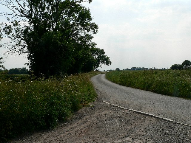
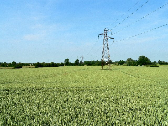
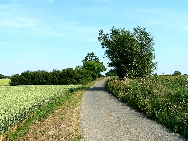
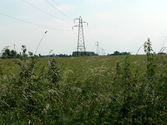
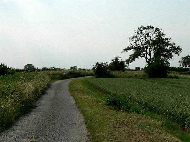
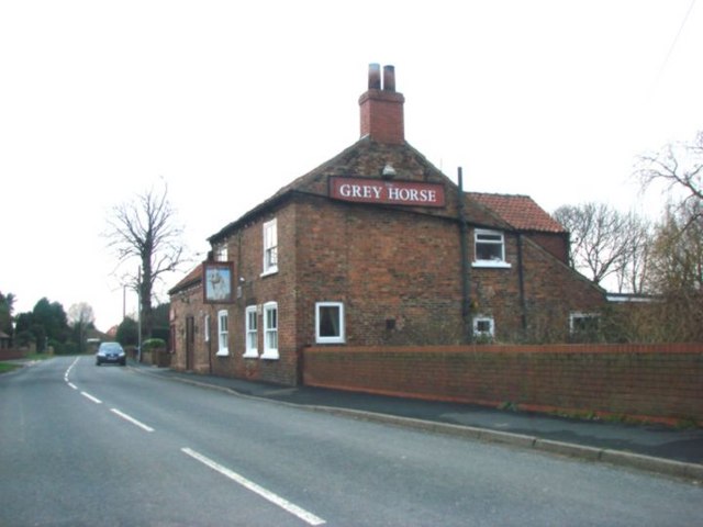
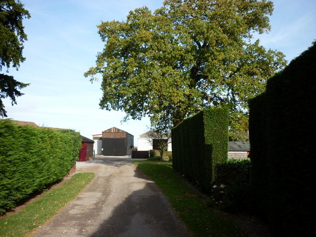
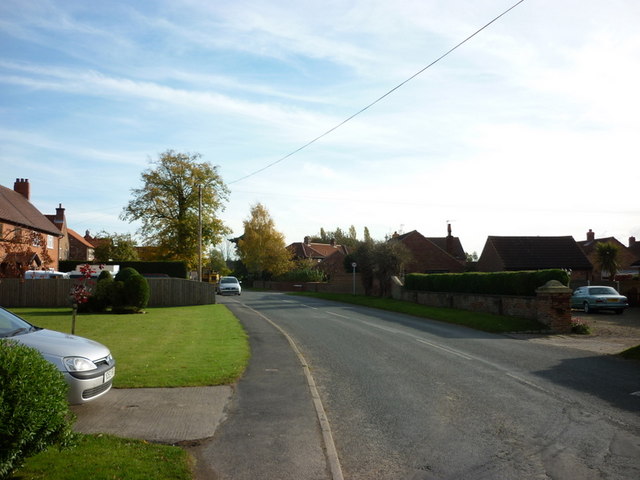
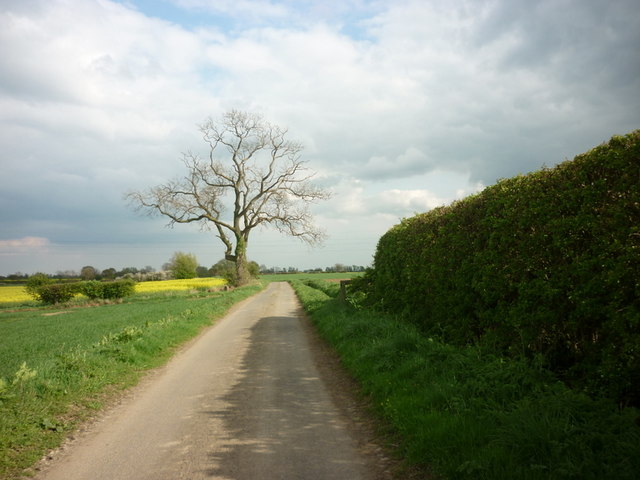
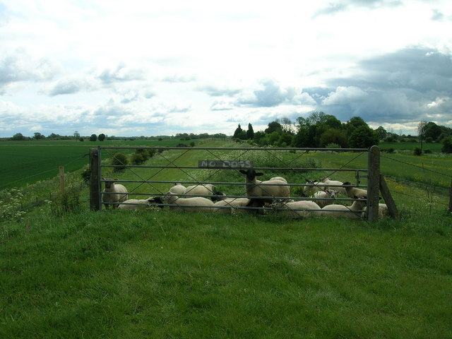
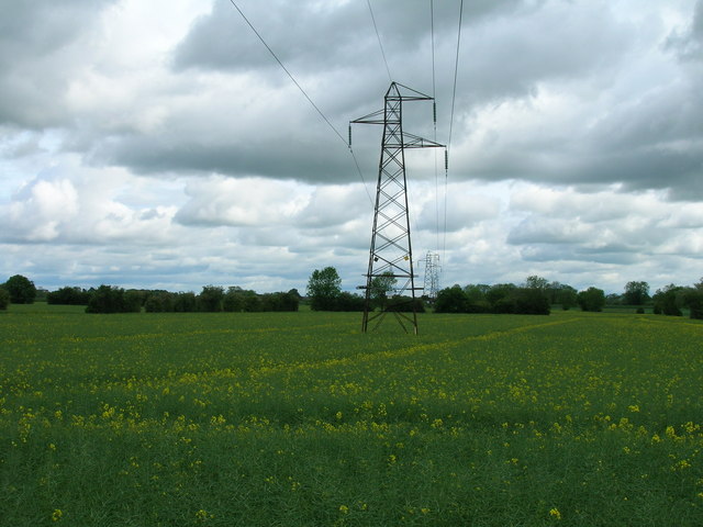
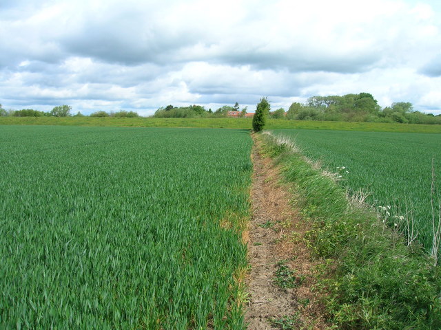
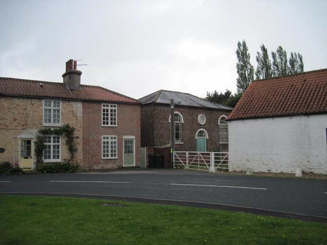
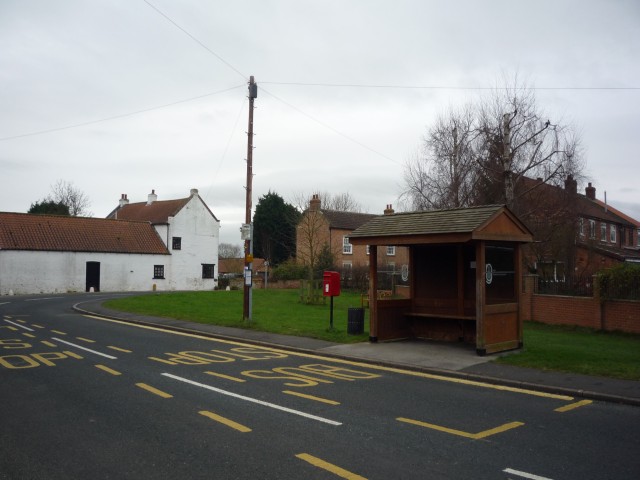
Countinghouse Hill Images
Images are sourced within 2km of 53.830946/-1.07464 or Grid Reference SE6137. Thanks to Geograph Open Source API. All images are credited.
Countinghouse Hill is located at Grid Ref: SE6137 (Lat: 53.830946, Lng: -1.07464)
Division: East Riding
Administrative County: North Yorkshire
District: Selby
Police Authority: North Yorkshire
What 3 Words
///sandals.sushi.premature. Near Riccall, North Yorkshire
Nearby Locations
Related Wikis

St Mary's Church, Riccall
St Mary's Church is the parish church of Riccall, a village north of Selby in North Yorkshire, England. The oldest part of the church are the three western...
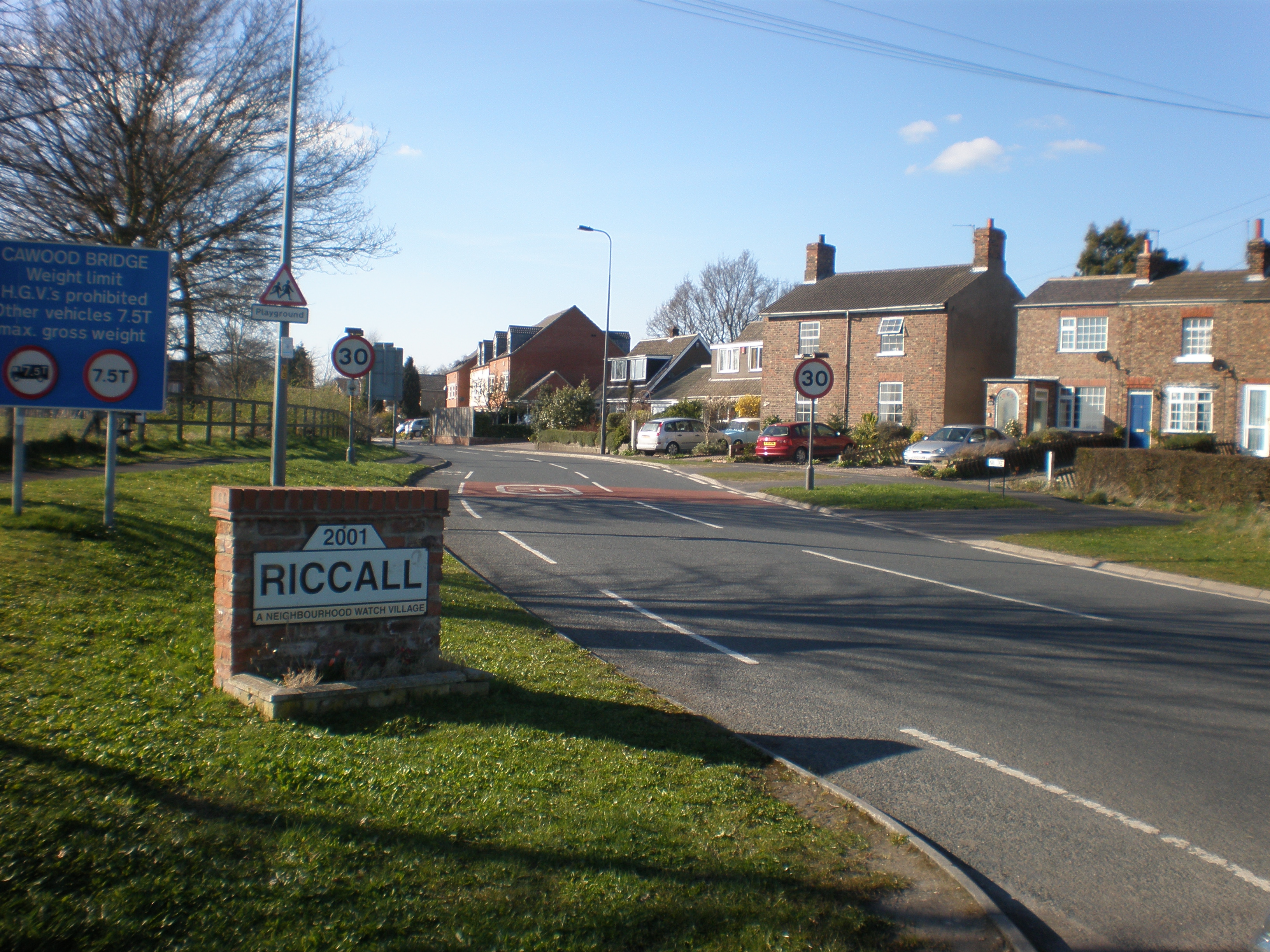
Riccall
Riccall is a village and civil parish in North Yorkshire, England, lying 3.5 miles (6 km) to the north of Selby and 9 miles (14 km) south of York. Riccall...

Riccall railway station
Riccall railway station was a railway station which served the village of Riccall, north of Selby, on the East Coast Main Line. It was opened in 1871,...

Riccal Rural District
Riccal was a rural district in the East Riding of Yorkshire, England from 1894 to 1935.It was formed in 1894 from that part of the Selby rural sanitary...

Kelfield, North Yorkshire
Kelfield is a small village and civil parish in the Selby district of North Yorkshire, England. It was historically part of the East Riding of Yorkshire...

Wistow, North Yorkshire
Wistow is a small village and civil parish just north of Selby, North Yorkshire, England. In the 2011 Census it had 1,333 residents; an increase from 2001...

All Saints' Church, Wistow
All Saints' Church is the parish church of Wistow, a village north-west of Selby in North Yorkshire, in England. There has been a church on the site since...
RAF Riccall
RAF Riccall is a former Royal Air Force airfield located 3.1 miles (5 km) north east of Selby, North Yorkshire and 7.9 miles (12.7 km) south west of Elvington...
Nearby Amenities
Located within 500m of 53.830946,-1.07464Have you been to Countinghouse Hill?
Leave your review of Countinghouse Hill below (or comments, questions and feedback).