Incline Top

Hill, Mountain in Yorkshire Scarborough

England

Incline Top

Round Hill Trig Point From The Cleveland Way
Round Hill Trig Point From The Cleveland Way Credit: David Robinson

Incline Top is a prominent hill located in the picturesque region of Yorkshire, England. It is renowned for its breathtaking views and rich history, making it a popular destination for nature enthusiasts and history buffs alike. Rising to an elevation of approximately 400 meters (1,312 feet), Incline Top is often referred to as a mountain due to its impressive height and commanding presence.

The hill is characterized by its steep incline, providing visitors with a challenging yet rewarding hiking experience. The surrounding landscape is adorned with lush greenery, dotted with vibrant wildflowers during the warmer months. As hikers ascend the hill, they are greeted with panoramic vistas of the surrounding countryside, including rolling hills, meandering rivers, and charming villages nestled in the valleys below.

In addition to its natural beauty, Incline Top holds significant historical importance. It served as a strategic vantage point during various periods in history, offering commanding views of the surrounding area and allowing for effective defense against potential invaders. Ruins of ancient fortifications and defensive structures can still be found on the hill, serving as a testament to its historical significance.

Visitors to Incline Top can explore the hill through a network of well-maintained walking trails, offering varying levels of difficulty to cater to different fitness levels. The hill is also home to a diverse range of flora and fauna, making it an ideal spot for nature lovers and wildlife enthusiasts.

Overall, Incline Top is a must-visit destination in Yorkshire, offering a perfect blend of natural beauty, historical significance, and outdoor adventure for visitors of all ages.

If you have any feedback on the listing, please let us know in the comments section below.
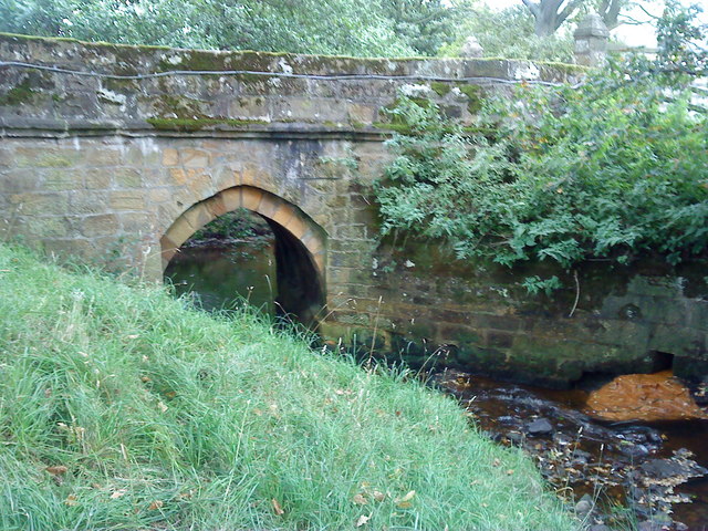
Incline Top Images

Images are sourced within 2km of 54.415265/-1.0597912 or Grid Reference NZ6102. Thanks to Geograph Open Source API. All images are credited.

Round Hill Trig Point From The Cleveland Way
Bank Foot Cottages A book about the Rosedale railway and the iron ore mines suggests that this group of four cottages were abandoned after the closure of the railway in 1926, but they were eventually sold off and renovated. In a very quiet spot with the only access being along the old track bed.
Bank Foot Cottages
A book about the Rosedale railway and the iron ore mines suggests that this group of four cottages were abandoned after the closure of the railway in 1926, but they were eventually sold off and renovated. In a very quiet spot with the only access being along the old track bed.
Forest track, Greenhow Plantation A section of the well surfaced track that circles around the base of the moors.
Forest track, Greenhow Plantation
A section of the well surfaced track that circles around the base of the moors.
Wetland area, Greenhow Plantation This small wetland area appears to be part of a man made scheme, possibly associated with the nearby outdoor centre. Apart from a few non native conifers, the area is dominated by birch and alder, the latter being happy with wet conditions.
Wetland area, Greenhow Plantation
This small wetland area appears to be part of a man made scheme, possibly associated with the nearby outdoor centre. Apart from a few non native conifers, the area is dominated by birch and alder, the latter being happy with wet conditions.
Near Shepherd's Close Looking east towards Ingleby Incline.
Near Shepherd's Close
Looking east towards Ingleby Incline.
Round Hill trig point, Urra Moor
Trig point of Round Hill Round Hill  is the high point of Urra Moor and at 454m the highest location in the North Yorks Moors National Park. Cringle Moor, Cold Moor & Hasty Bank are hills on the skyline.
Trig point of Round Hill
Round Hill is the high point of Urra Moor and at 454m the highest location in the North Yorks Moors National Park. Cringle Moor, Cold Moor & Hasty Bank are hills on the skyline.
Botton Head Botton Head, the northern side of Urra Moor.
Botton Head
Botton Head, the northern side of Urra Moor.
Bank Bottom Cottages Former railway cottages by the former iron ore line at the bottom of the Greenhow incline.
Bank Bottom Cottages
Former railway cottages by the former iron ore line at the bottom of the Greenhow incline.
The Round Hill trig point A significant trig pillar from a geographical point of view as it marks the highest point in lowland Britain.  If one takes a rough line from the Tees estuary to that of the Exe in Devon, then east of this line are lowlands dominated by Jurassic and Cretaceous rocks. Round Hill at 454m is the highest point on the Jurassic North York Moors.
The Round Hill trig point
A significant trig pillar from a geographical point of view as it marks the highest point in lowland Britain. If one takes a rough line from the Tees estuary to that of the Exe in Devon, then east of this line are lowlands dominated by Jurassic and Cretaceous rocks. Round Hill at 454m is the highest point on the Jurassic North York Moors.
Aircraft Crash Site On the 21 October 1940 an Armstrong Whitworth Whitley Mk. V of No. 58 Sqn., RAF and piloted by P/O E. H. Brown was returning from a raid on the Skoda factory in Plzen, Czechoslovakia  to its base at RAF Linton on Ouse when it ran out of fuel and crashed on the northern edge of the moors here above Greenhow. 

The pilot and three other members of the crew were killed:
Sgt. L.F.P. Adlam, Co-pilot
Sgt. C.S.G. Green, Obs
Sgt. M.C. Caryll-Tilkin WO/AG

A fifth crew member, Sgt. R.E.Langfield AG survived.

Bits of wreckage are reportedly still visible but I couldn't find anything. I was confident in the location. The forestry lower down the slope has recently been felled.
Aircraft Crash Site
On the 21 October 1940 an Armstrong Whitworth Whitley Mk. V of No. 58 Sqn., RAF and piloted by P/O E. H. Brown was returning from a raid on the Skoda factory in Plzen, Czechoslovakia to its base at RAF Linton on Ouse when it ran out of fuel and crashed on the northern edge of the moors here above Greenhow. The pilot and three other members of the crew were killed: Sgt. L.F.P. Adlam, Co-pilot Sgt. C.S.G. Green, Obs Sgt. M.C. Caryll-Tilkin WO/AG A fifth crew member, Sgt. R.E.Langfield AG survived. Bits of wreckage are reportedly still visible but I couldn't find anything. I was confident in the location. The forestry lower down the slope has recently been felled.
The Face Stone An very old boundary stone. Mentioned in a document dated 1642.
The Face Stone
An very old boundary stone. Mentioned in a document dated 1642.
Round Hill Trig Point
Memorial to Mitchell Atkinson on Round Hill The memorial plate is attached to a rock which forms part of a low semi-circular wall just to the north of the trig point on Urra Moor.
Memorial to Mitchell Atkinson on Round Hill
The memorial plate is attached to a rock which forms part of a low semi-circular wall just to the north of the trig point on Urra Moor.
Urra Moor The summit of Urra Moor, looking NW.
Urra Moor
The summit of Urra Moor, looking NW.
Trigpoint on Round Hill
Old Wayside Cross by Round Hill, Urra Moor, Bilsdale Midcable parish Face Stone, standing stone, by the track, in parish of Bilsdale Midcable (Hambleton District), Round Hill, Urra Moor, 2 miles East of the B1257, 300m Southeast of round barrow.

Surveyed

Milestone Society National ID: YNHA_BIMI02
Old Wayside Cross by Round Hill, Urra Moor, Bilsdale Midcable parish
Face Stone, standing stone, by the track, in parish of Bilsdale Midcable (Hambleton District), Round Hill, Urra Moor, 2 miles East of the B1257, 300m Southeast of round barrow. Surveyed Milestone Society National ID: YNHA_BIMI02
Pond, Urra Moor
Pond, Urra Moor
Show me another place!

Incline Top is located at Grid Ref: NZ6102 (Lat: 54.415265, Lng: -1.0597912)

Division: North Riding

Administrative County: North Yorkshire

District: Scarborough

Police Authority: North Yorkshire

What 3 Words

///stalemate.storage.digits. Near Ingleby Greenhow, North Yorkshire

Nearby Locations

Incline Top

Related Wikis

Urra Moor

Urra Moor is the highest moor in the North York Moors, North Yorkshire, England. At 1,490 feet (454 m) above sea level it is the highest point in Hambleton...

Basedale Priory

Basedale Priory or Baysdale Priory was a priory in North Yorkshire, England located 8 miles (13 km) East from the parish church of Stokesley. It was a...

Cockayne, North Yorkshire

Cockayne is an isolated hamlet in North Yorkshire, England. It is the largest settlement in the civil parish of Bransdale, in the North York Moors national...

Battersby

Battersby is a hamlet in North Yorkshire, England. It lies on the edge of the North York Moors National Park and within the historic boundaries of the...

Ingleby Greenhow

Ingleby Greenhow is a village and civil parish in the Hambleton district of North Yorkshire, England. It is on the border of the North York Moors and 3...

Bransdale

Bransdale is a valley running south through North Yorkshire, England, and part of the North York Moors National Park. Sandwiched between Bilsdale to the...

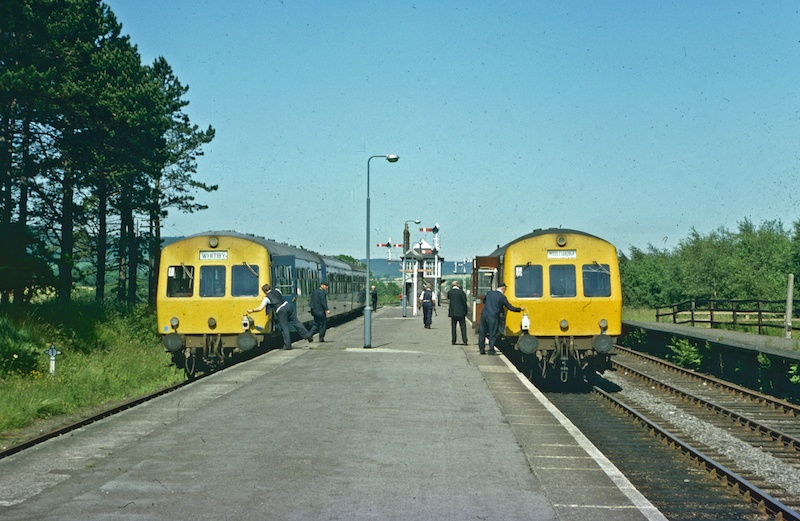
Battersby railway station

Battersby is a railway station on the Esk Valley Line, which runs between Middlesbrough and Whitby via Nunthorpe. The station, situated 11 miles 4 chains...

Bilsdale Midcable

Bilsdale Midcable is a civil parish in North Yorkshire, England, which occupies the northern part of Bilsdale in the North York Moors National Park. According...

Nearby Amenities

Located within 500m of 54.415265,-1.0597912
Bench
Lat/Long: 54.4124216/-1.063768
Incline Top
Place: locality
Lat/Long: 54.414885/-1.0635078
Abandoned: yes
Description: Old Ironstone Mines
Historic: mine
Lat/Long: 54.4132798/-1.0661958
Historic: stone
Lat/Long: 54.4125487/-1.0596187
Leisure: bird_hide
Lat/Long: 54.4129279/-1.0600449
Leisure: bird_hide
Lat/Long: 54.4133181/-1.060308
Leisure: bird_hide
Lat/Long: 54.4136928/-1.0605763
Leisure: bird_hide
Lat/Long: 54.4140081/-1.0607801
Leisure: bird_hide
Lat/Long: 54.4143608/-1.0610295
The Drum House
Information: board
Tourism: information
Lat/Long: 54.4145691/-1.063528
Incline Top
Information: board
Tourism: information
Lat/Long: 54.4145777/-1.0635387
Leisure: bird_hide
Lat/Long: 54.4147291/-1.0612978
Leisure: bird_hide
Lat/Long: 54.4151834/-1.0615928
Bench
Lat/Long: 54.414559/-1.0635186
Bench
Lat/Long: 54.414591/-1.0635548
The data included in this document is from www.openstreetmap.org. The data is made available under ODbL.

Have you been to Incline Top?

Leave your review of Incline Top below (or comments, questions and feedback).