Riccarton
Settlement in Ayrshire
Scotland
Riccarton

Riccarton is a small village located in the county of Ayrshire, Scotland. Situated approximately 7 miles east of the town of Kilmarnock, Riccarton is primarily a rural community surrounded by picturesque countryside.
The village is known for its historical significance, dating back to the medieval period. It was once home to a castle, which was owned by the Riccarton family, from whom the village takes its name. Today, only remnants of the castle remain, but they serve as a reminder of the area's rich heritage.
Riccarton is a close-knit community with a population of around 1,500 residents. The village offers a range of amenities to cater to the needs of its inhabitants, including a primary school, a post office, and a local shop. There are also several churches and community halls that play an important role in the social fabric of the village.
Nature enthusiasts will appreciate the beautiful surroundings of Riccarton, with ample opportunities for outdoor activities. The nearby Irvine Valley offers stunning views and walking trails through the scenic countryside. Additionally, the village is well-connected to the wider region through a network of roads and public transportation, making it easy to explore the surrounding areas.
Overall, Riccarton provides a charming and peaceful setting for residents and visitors alike, offering a glimpse into Scotland's rural heritage while providing a range of amenities and access to the natural beauty of the Ayrshire countryside.
If you have any feedback on the listing, please let us know in the comments section below.
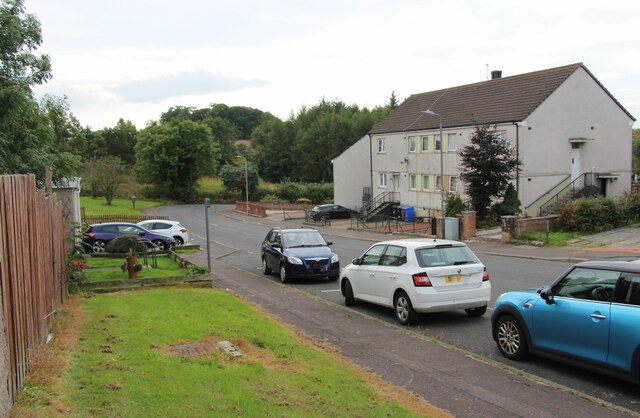
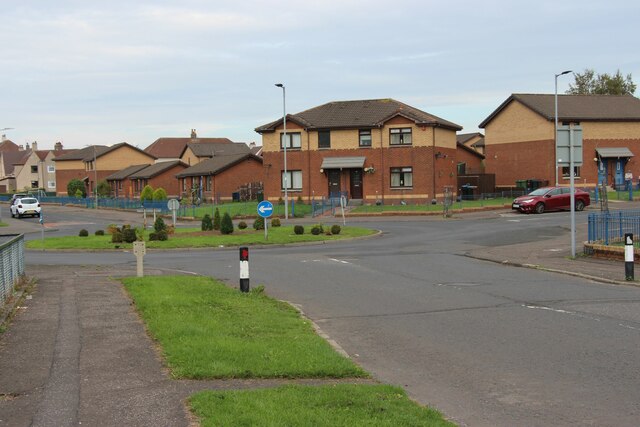
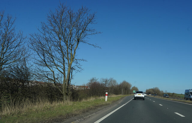
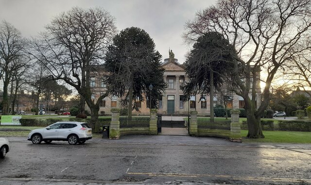
Riccarton Images
Images are sourced within 2km of 55.594546/-4.4977101 or Grid Reference NS4236. Thanks to Geograph Open Source API. All images are credited.


Riccarton is located at Grid Ref: NS4236 (Lat: 55.594546, Lng: -4.4977101)
Unitary Authority: East Ayrshire
Police Authority: Ayrshire
What 3 Words
///extreme.postcard.mega. Near Kilmarnock, East Ayrshire
Nearby Locations
Related Wikis
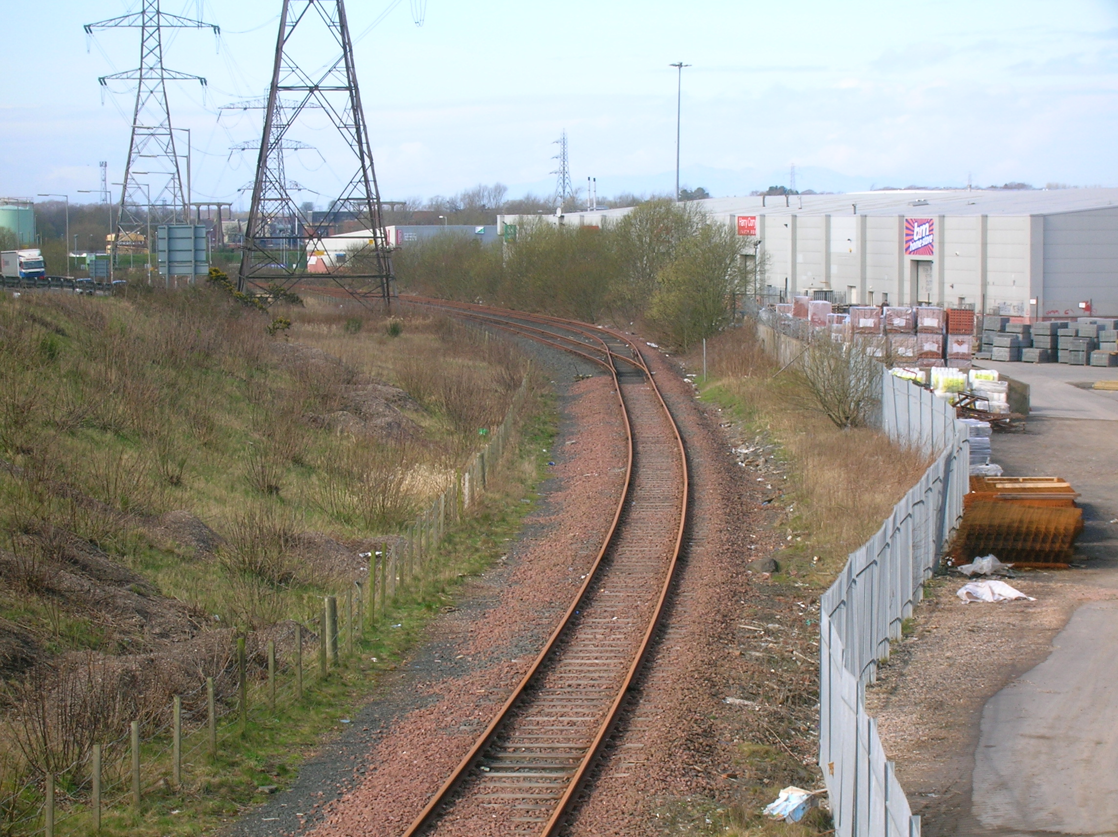
Riccarton and Craigie railway station
Riccarton and Craigie was an unopened railway station serving the village of Riccarton and the distant hamlet of Craigie, both in East Ayrshire, Scotland...

Bellfield, East Ayrshire
Bellfield is a council housing area in the south-east of Kilmarnock, Scotland. == Education == Bellfield is home to two primary schools Kirkstyle Primary...
Shortlees A.F.C.
Shortlees Amateurs Football Club is a Scottish football club based in Kilmarnock, East Ayrshire, representing the neighbourhood of Shortlees. In 2018 they...

Bickering Bush
The Bickering bush (NS41863635) thorn grew near Caprington on the lands of Monksholm or Maxholm, Riccarton, East Ayrshire, Scotland. The old farm house...
Nearby Amenities
Located within 500m of 55.594546,-4.4977101Have you been to Riccarton?
Leave your review of Riccarton below (or comments, questions and feedback).