Redvales

Settlement in Lancashire

England

Redvales

Park 66, Pilsworth Retail Park Park 66 was a leisure park in the Pilsworth area, just off junction 3 of the M66 motorway, around 2 miles from Bury town centre. It was home to a Vue cinema, a bowling alley and several restaurants. When the Vue cinema opened in 1989, it was one of the first multiplex cinemas in the North West of England. The cinema closed in 2010, following the development of the Rock in the town centre; the bowling alley closed in 2012 with the restaurants soon following, leaving the site to quickly become derelict.

The site, which neighbours an existing Asda Superstore, McDonald's, Travelodge and Brewers Fayre pub, was cleared and redeveloped in 2018-19.
Park 66, Pilsworth Retail Park Credit: David Dixon

Redvales is a small residential area located in the borough of Bury, Lancashire, England. Situated approximately 2 miles north of Bury town center, it forms a part of the larger metropolitan area of Greater Manchester. Redvales is primarily a residential neighborhood, characterized by a mix of housing types including detached houses, semi-detached houses, and terraced properties.

The area benefits from its proximity to Bury, which offers a wide range of amenities such as shopping centers, supermarkets, schools, and healthcare facilities. Redvales itself is home to Redvales Park, a well-maintained green space providing a pleasant recreational area for local residents. The park features a playground, sports facilities, and open fields, making it popular with families and outdoor enthusiasts.

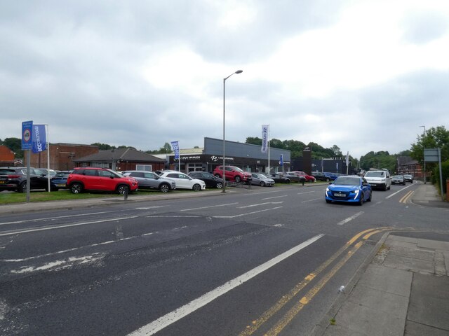
Transport links are convenient in Redvales, with regular bus services connecting the area to Bury and surrounding towns. For commuters, the nearby M66 motorway offers quick access to Manchester and other major cities in the region.

Redvales has a diverse community, with a mix of families, professionals, and retirees residing in the area. The neighborhood enjoys a friendly and welcoming atmosphere, with several community events and initiatives organized throughout the year. Local residents also have access to a range of amenities and services, including shops, pubs, and restaurants, ensuring a comfortable and convenient lifestyle.

If you have any feedback on the listing, please let us know in the comments section below.
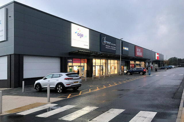
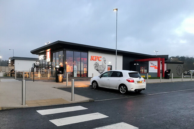
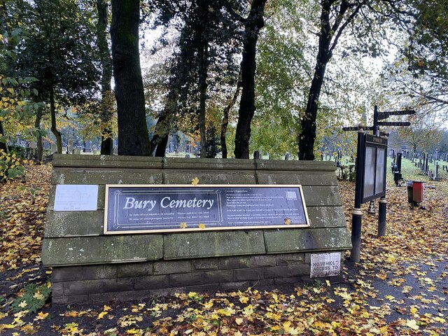
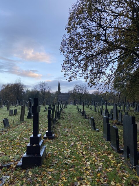
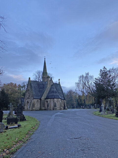
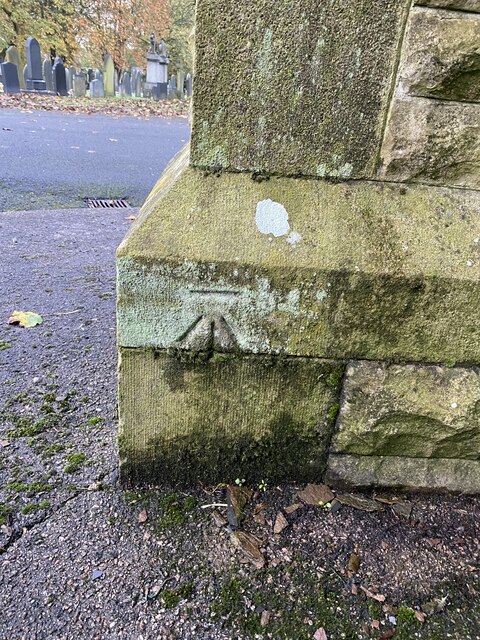
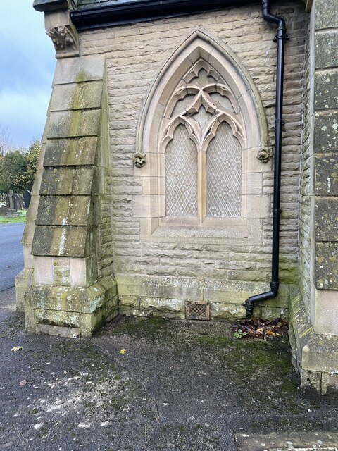
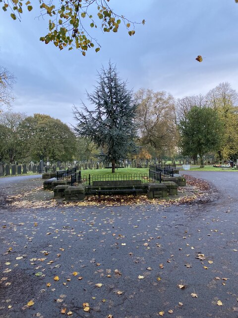
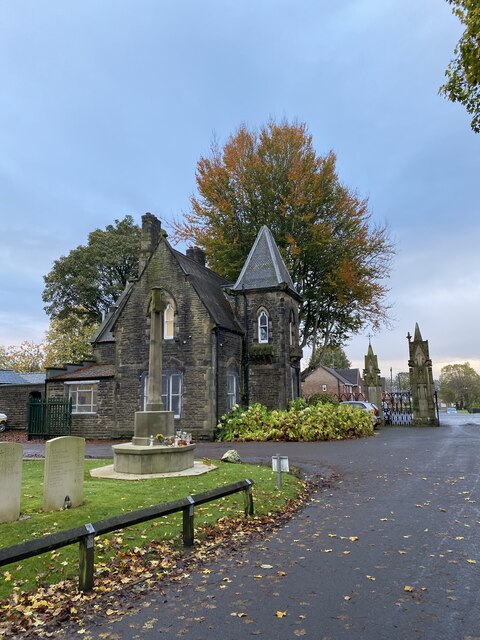
Redvales Images

Images are sourced within 2km of 53.575863/-2.30126 or Grid Reference SD8008. Thanks to Geograph Open Source API. All images are credited.

Park 66, Pilsworth Retail Park Park 66 was a leisure park in the Pilsworth area, just off junction 3 of the M66 motorway, around 2 miles from Bury town centre. It was home to a Vue cinema, a bowling alley and several restaurants. When the Vue cinema opened in 1989, it was one of the first multiplex cinemas in the North West of England. The cinema closed in 2010, following the development of the Rock in the town centre; the bowling alley closed in 2012 with the restaurants soon following, leaving the site to quickly become derelict.

The site, which neighbours an existing Asda Superstore, McDonald's, Travelodge and Brewers Fayre pub, was cleared and redeveloped in 2018-19.
Park 66, Pilsworth Retail Park
Park 66 was a leisure park in the Pilsworth area, just off junction 3 of the M66 motorway, around 2 miles from Bury town centre. It was home to a Vue cinema, a bowling alley and several restaurants. When the Vue cinema opened in 1989, it was one of the first multiplex cinemas in the North West of England. The cinema closed in 2010, following the development of the Rock in the town centre; the bowling alley closed in 2012 with the restaurants soon following, leaving the site to quickly become derelict. The site, which neighbours an existing Asda Superstore, McDonald's, Travelodge and Brewers Fayre pub, was cleared and redeveloped in 2018-19.
KFC Pilsworth Park 66 was a leisure park in the Pilsworth area, just off junction 3 of the M66 motorway, around 2 miles from Bury town centre. It was home to a Vue cinema, a bowling alley and several restaurants. When the Vue cinema opened in 1989, it was one of the first multiplex cinemas in the North West of England. The cinema closed in 2010, following the development of the Rock in the town centre; the bowling alley closed in 2012 with the restaurants soon following, leaving the site to quickly become derelict.

The site, which neighbours an existing Asda Superstore, McDonald's, Travelodge and Brewers Fayre pub, was cleared and redeveloped in 2018-19.
KFC Pilsworth
Park 66 was a leisure park in the Pilsworth area, just off junction 3 of the M66 motorway, around 2 miles from Bury town centre. It was home to a Vue cinema, a bowling alley and several restaurants. When the Vue cinema opened in 1989, it was one of the first multiplex cinemas in the North West of England. The cinema closed in 2010, following the development of the Rock in the town centre; the bowling alley closed in 2012 with the restaurants soon following, leaving the site to quickly become derelict. The site, which neighbours an existing Asda Superstore, McDonald's, Travelodge and Brewers Fayre pub, was cleared and redeveloped in 2018-19.
OS Cut Mark - Bury, Bury Cemetery Wall <span class="nowrap"><a title="https://www.bench-marks.org.uk/bm105596" rel="nofollow ugc noopener" href="https://www.bench-marks.org.uk/bm105596">Link</a><img style="margin-left:2px;" alt="External link" title="External link - shift click to open in new window" src="https://s1.geograph.org.uk/img/external.png" width="10" height="10"/></span>
OS Cut Mark - Bury, Bury Cemetery Wall
Location of OS Cut Mark - Bury, Bury Cemetery Wall
Entrance to Bury Cemetery
Bury Cemetery
Bury Cemetery
Bury Cemetery Church
OS Cut Mark - Bury, Bury Cemetery Chapel <span class="nowrap"><a title="https://www.bench-marks.org.uk/bm105599" rel="nofollow ugc noopener" href="https://www.bench-marks.org.uk/bm105599">Link</a><img style="margin-left:2px;" alt="External link" title="External link - shift click to open in new window" src="https://s1.geograph.org.uk/img/external.png" width="10" height="10"/></span>
OS Cut Mark - Bury, Bury Cemetery Chapel
Location of OS Cut Mark - Bury, Bury Cemetery Chapel
Remains of old cemetery chapel
OS Cut Mark - Bury, Bury Chapel Foundation Remains <span class="nowrap"><a title="https://www.bench-marks.org.uk/bm105600" rel="nofollow ugc noopener" href="https://www.bench-marks.org.uk/bm105600">Link</a><img style="margin-left:2px;" alt="External link" title="External link - shift click to open in new window" src="https://s1.geograph.org.uk/img/external.png" width="10" height="10"/></span>
OS Cut Mark - Bury, Bury Chapel Foundation Remains
War memorial Bury cemetery
OS Cut Mark - Gigg, Cemetery Gate Post <span class="nowrap"><a title="https://www.bench-marks.org.uk/bm62830" rel="nofollow ugc noopener" href="https://www.bench-marks.org.uk/bm62830">Link</a><img style="margin-left:2px;" alt="External link" title="External link - shift click to open in new window" src="https://s1.geograph.org.uk/img/external.png" width="10" height="10"/></span>
OS Cut Mark - Gigg, Cemetery Gate Post
Location
Location
OS Cut Mark - Bury, Bury Cemetery Wall <span class="nowrap"><a title="https://www.bench-marks.org.uk/bm105595" rel="nofollow ugc noopener" href="https://www.bench-marks.org.uk/bm105595">Link</a><img style="margin-left:2px;" alt="External link" title="External link - shift click to open in new window" src="https://s1.geograph.org.uk/img/external.png" width="10" height="10"/></span>
OS Cut Mark - Bury, Bury Cemetery Wall
Location of OS Cut Mark - Bury, Bury Cemetery Wall
Roadworks on Manchester Road The A56 towards Bury.
Roadworks on Manchester Road
The A56 towards Bury.
Manchester Road The A56 out of Bury. On the left is a large Hyundai car dealership.
Manchester Road
The A56 out of Bury. On the left is a large Hyundai car dealership.
Show me another place!

Redvales is located at Grid Ref: SD8008 (Lat: 53.575863, Lng: -2.30126)

Unitary Authority: Bury

Police Authority: Greater Manchester

What 3 Words

///guard.bolts.help. Near Radcliffe, Manchester

Related Wikis

Redvales

Redvales is a residential district to the south of Bury town centre in Greater Manchester in the United Kingdom. The population of the Bury Ward at the...

Bury South (UK Parliament constituency)

Bury South is a borough constituency represented in the House of Commons of the Parliament of the United Kingdom. At the 2019 General Election it was the...
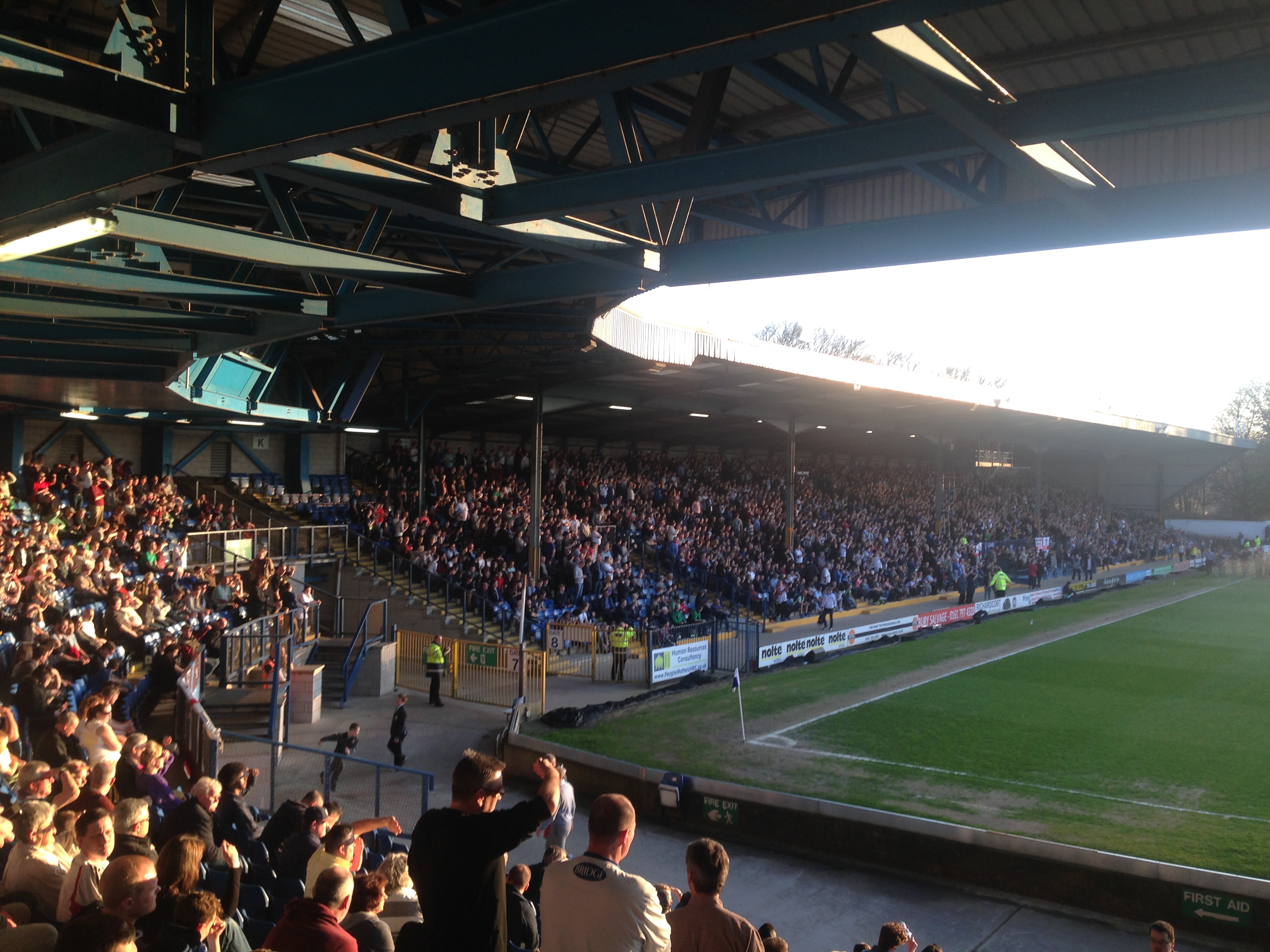
Gigg Lane

Gigg Lane is a football ground in Bury, Greater Manchester, England, built for Bury F.C. in 1885. The first match was played on 12 September 1885 between...

Elton Reservoir tram stop

Elton Reservoir, also known as Warth Fold, is a proposed tram stop on the Bury Line of Greater Manchester's Metrolink light rail system. It is to be located...

Nearby Amenities

Located within 500m of 53.575863,-2.30126
Created By: YahooApplet 1.0
Lat/Long: 53.5775422/-2.307127
Created By: YahooApplet 1.0
Lat/Long: 53.5772746/-2.304831
Created By: YahooApplet 1.0
Lat/Long: 53.5746628/-2.3027067
Created By: YahooApplet 1.0
Lat/Long: 53.5740895/-2.3031788
Created By: YahooApplet 1.0
Lat/Long: 53.5735798/-2.3036938
Created By: YahooApplet 1.0
Lat/Long: 53.5731976/-2.3039298
Created By: YahooApplet 1.0
Lat/Long: 53.5727771/-2.3037367
Created By: YahooApplet 1.0
Lat/Long: 53.5724331/-2.303329
Created By: YahooApplet 1.0
Lat/Long: 53.5720126/-2.3010545
Created By: YahooApplet 1.0
Lat/Long: 53.5720126/-2.3003249
Created By: YahooApplet 1.0
Lat/Long: 53.5719361/-2.2994666
Created By: YahooApplet 1.0
Lat/Long: 53.5718342/-2.2988873
Redvales
Created By: Potlatch 0.4a
Is In: Bury, Greater Manchester, England, UK
Place: suburb
Source: npe
Lat/Long: 53.5757428/-2.2978435
Turning Circle
Lat/Long: 53.5764765/-2.2989898
Bus Stop
Dumers Lane/Manchester Road (Stop B)
Bus: yes
Local Ref: B
Naptan AtcoCode: 1800NC05671
Naptan Bearing: W
Naptan CommonName: Dumers Lane/Manchester Road (Stop B)
Naptan Indicator: Stop B
Naptan Landmark: HOUSE 11
Naptan NaptanCode: mandmptm
Naptan PlusbusZoneRef: MNCRPIC
Naptan ShortCommonName: Manchester Road
Naptan Street: DUMERS LANE
Naptan Verified: no
Network: TfGM
Public Transport: platform
Shelter: no
Source: naptan_import
Lat/Long: 53.5733343/-2.296581
Bus Stop
Dumers Lane/Trade Park
Bench: no
Bus: yes
Naptan AtcoCode: 1800NC05681
Naptan Bearing: NE
Naptan CommonName: Dumers Lane/Trade Park
Naptan Indicator: Op House 47
Naptan Landmark: BUSINESS Park
Naptan NaptanCode: mandmptp
Naptan PlusbusZoneRef: MNCRPIC
Naptan ShortCommonName: Trade Park
Naptan Street: DUMERS LANE
Naptan Verified: no
Network: TfGM
Public Transport: platform
Shelter: yes
Source: naptan_import
Lat/Long: 53.5727723/-2.2984346
Bus Stop
Dumers Lane/Trade Park
Bus: yes
Naptan AtcoCode: 1800NC05691
Naptan Bearing: SW
Naptan CommonName: Dumers Lane/Trade Park
Naptan Indicator: Nr Trade Park
Naptan Landmark: WAREHOUSE
Naptan NaptanCode: mandmptw
Naptan PlusbusZoneRef: MNCRPIC
Naptan ShortCommonName: Trade Park
Naptan Street: DUMERS LANE
Naptan Verified: no
Network: TfGM
Public Transport: platform
Shelter: yes
Source: naptan_import
Lat/Long: 53.572502/-2.2987045
Bus Stop
Dumers Lane/The Bridge Inn
Bench: yes
Bus: yes
Naptan AtcoCode: 1800NC05701
Naptan Bearing: NE
Naptan CommonName: Dumers Lane/The Bridge Inn
Naptan Indicator: Bridge Inn
Naptan Landmark: BRIDGE INN
Naptan NaptanCode: mandmpwa
Naptan PlusbusZoneRef: MNCRPIC
Naptan ShortCommonName: The Bridge Inn
Naptan Street: DUMERS LANE
Naptan Verified: no
Network: TfGM
Public Transport: platform
Shelter: yes
Source: naptan_import
Lat/Long: 53.5714993/-2.3006908
Bus Stop
Radcliffe Road/Warth Bridge
Bus: yes
Naptan AtcoCode: 1800NC05941
Naptan Bearing: NE
Naptan CommonName: Radcliffe Road/Warth Bridge
Naptan Indicator: Expert Logistic
Naptan Landmark: River Irwell
Naptan NaptanCode: mandmtgm
Naptan PlusbusZoneRef: MNCRPIC
Naptan ShortCommonName: Warth Bridge
Naptan Street: Bury Road
Naptan Verified: no
Network: TfGM
Public Transport: platform
Source: naptan_import
Lat/Long: 53.5773315/-2.3082988
Bus Stop
Radcliffe Road/Warth Bridge
Bus: yes
Naptan AtcoCode: 1800NC05951
Naptan Bearing: SW
Naptan CommonName: Radcliffe Road/Warth Bridge
Naptan Indicator: Canal Bridge
Naptan Landmark: HOUSE 229
Naptan NaptanCode: mandmtgp
Naptan PlusbusZoneRef: MNCRPIC
Naptan ShortCommonName: Warth Bridge
Naptan Street: RADCLIFFE ROAD
Naptan Verified: no
Network: TfGM
Public Transport: platform
Source: naptan_import
Lat/Long: 53.5778004/-2.3077434
Bus Stop
Manchester Road/Dumers Lane (Stop A)
Bus: yes
Local Ref: A
Naptan AtcoCode: 1800NC06811
Naptan Bearing: N
Naptan CommonName: Manchester Road/Dumers Lane (Stop A)
Naptan Indicator: Stop A
Naptan Landmark: VETS 4 PETS
Naptan NaptanCode: mandpadm
Naptan PlusbusZoneRef: MNCRPIC
Naptan ShortCommonName: Dumers Lane
Naptan Street: MANCHESTER ROAD
Naptan Verified: no
Network: TfGM
Public Transport: platform
Source: naptan_import
Lat/Long: 53.5746841/-2.2959411
Bus Stop
Manchester Road/Shakespeare Crescent
Bench: no
Bus: yes
Naptan AtcoCode: 1800NC06821
Naptan Bearing: S
Naptan CommonName: Manchester Road/Shakespeare Crescent
Naptan Indicator: St Peters
Naptan Landmark: HOUSE 387
Naptan NaptanCode: mandpadp
Naptan PlusbusZoneRef: MNCRPIC
Naptan ShortCommonName: Shakespeare Cres
Naptan Street: MANCHESTER ROAD
Naptan Verified: no
Network: TfGM
Public Transport: platform
Shelter: yes
Source: naptan_import
Lat/Long: 53.5755647/-2.296053
Bus Stop
Manchester Road/Swan and Cemetery
Bus: yes
Naptan AtcoCode: 1800NC06831
Naptan Bearing: N
Naptan CommonName: Manchester Road/Swan and Cemetery
Naptan Indicator: Swan & Cemetery
Naptan Landmark: SWAN & CEMETERY
Naptan NaptanCode: mandpadt
Naptan PlusbusZoneRef: MNCRPIC
Naptan ShortCommonName: Swan and Cemetery
Naptan Street: MANCHESTER ROAD
Naptan Verified: no
Network: TfGM
Public Transport: platform
Shelter: yes
Source: naptan_import
Lat/Long: 53.5771448/-2.2968191
Bus Stop
Manchester Road/Redvales Road
Bus: yes
Naptan AtcoCode: 1800NC06841
Naptan Bearing: S
Naptan CommonName: Manchester Road/Redvales Road
Naptan Indicator: O/s House 301
Naptan Landmark: HOUSE 301
Naptan NaptanCode: mandpadw
Naptan PlusbusZoneRef: MNCRPIC
Naptan ShortCommonName: Redvales Road
Naptan Street: MANCHESTER ROAD
Naptan Verified: no
Network: TfGM
Public Transport: platform
Shelter: yes
Source: naptan_import
Lat/Long: 53.5789599/-2.2970735
Bus Stop
Manchester Road/Redvales Road
Bus: yes
Naptan AtcoCode: 1800NC06851
Naptan Bearing: N
Naptan CommonName: Manchester Road/Redvales Road
Naptan Indicator: Playing Fields
Naptan Landmark: PLAYING FIELDS
Naptan NaptanCode: mandpaga
Naptan PlusbusZoneRef: MNCRPIC
Naptan ShortCommonName: Redvales Road
Naptan Street: MANCHESTER ROAD
Naptan Verified: no
Network: TfGM
Public Transport: platform
Shelter: yes
Source: naptan_import
Lat/Long: 53.5795433/-2.2973948
Turning Circle
Lat/Long: 53.5764074/-2.2996036
Traffic Signals
Traffic Signals: signal
Lat/Long: 53.5736033/-2.2951488
Veterinary
Bury Vets4Pets
Addr City: Bury
Addr Housenumber: 480
Addr Postcode: BL9 9NY
Addr Street: Manchester Road
Alt Name: Vets4Pets
Lat/Long: 53.5748133/-2.2960138
Bridge Support: yes
Lat/Long: 53.577332/-2.3081698
Pub
The Swan and Cemetery
Addr City: Bury
Addr Housenumber: 406
Addr Postcode: BL9 9NS
Addr Street: Manchester Road
Fhrs Id: 85244
Source Addr: FHRS Open Data
Lat/Long: 53.5769539/-2.2970033
Traffic Signals
Traffic Signals: signal
Lat/Long: 53.573386/-2.2953408
Traffic Signals
Traffic Signals: signal
Lat/Long: 53.5734703/-2.2955872
Traffic Signals
Traffic Signals: signal
Lat/Long: 53.5736278/-2.2954329
Barrier: lift_gate
Lat/Long: 53.5725321/-2.2995925
Turning Loop
Lat/Long: 53.577995/-2.2963792
Crossing
Crossing: marked
Crossing Island: no
Tactile Paving: yes
Lat/Long: 53.5763592/-2.2964665
Turning Circle
Lat/Long: 53.5756969/-2.2982819
Bridge Support: yes
Lat/Long: 53.5768677/-2.3086282
Bridge Support: yes
Lat/Long: 53.577524/-2.3080417
Bridge Support: yes
Lat/Long: 53.5771557/-2.3069476
Shop: alcohol
Lat/Long: 53.5789859/-2.2995129
Fast Food
Lat/Long: 53.5789798/-2.2994143
Shop: newsagent
Lat/Long: 53.5789724/-2.299295
Shop: alcohol
Lat/Long: 53.5789664/-2.2991991
Barrier: bollard
Lat/Long: 53.5792521/-2.2975727
The data included in this document is from www.openstreetmap.org. The data is made available under ODbL.

Have you been to Redvales?

Leave your review of Redvales below (or comments, questions and feedback).