Redtye

Settlement in Cornwall

England

Redtye

Scrub beside the A391 south of Innis Downs
Scrub beside the A391 south of Innis Downs Credit: David Smith

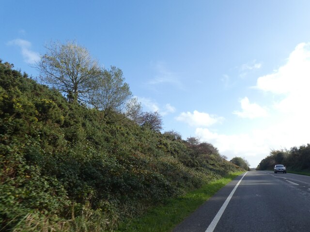
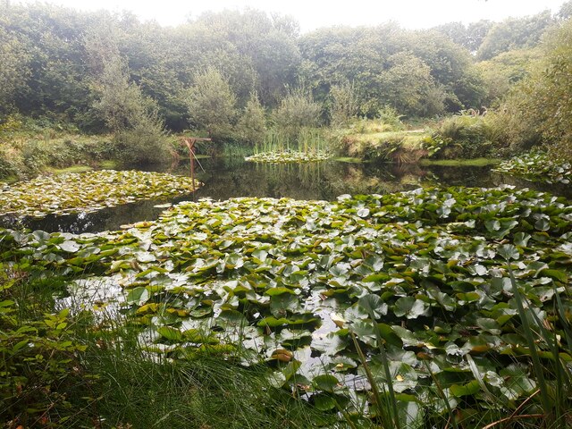
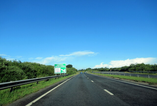
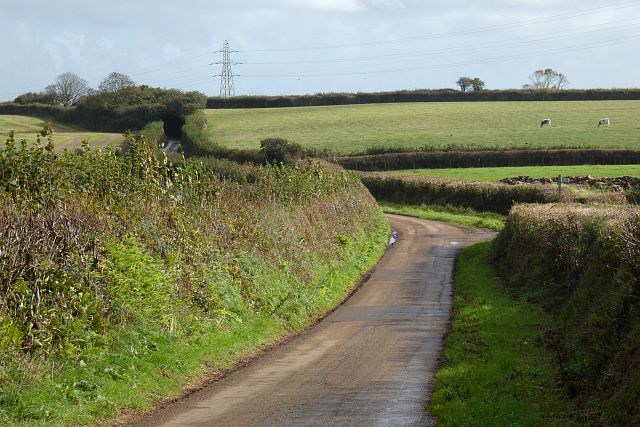
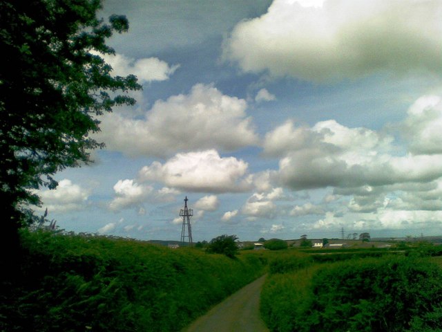
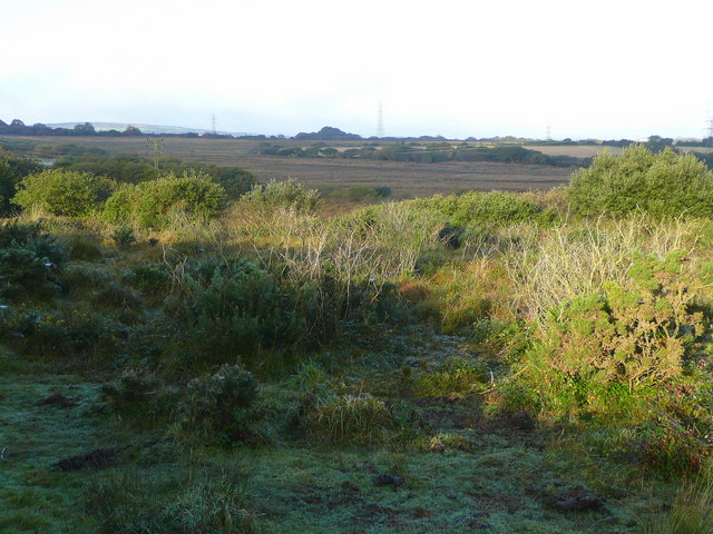
Redtye is a small village located in the county of Cornwall, England. Situated near the coast, Redtye is known for its picturesque countryside and charming rural atmosphere. The village is surrounded by rolling hills and lush green fields, making it a popular destination for nature lovers and outdoor enthusiasts.

Redtye is home to a tight-knit community of residents who take pride in their village and its heritage. The village has a handful of local shops, pubs, and cafes, providing residents and visitors with essential amenities and a welcoming atmosphere.

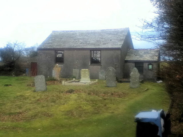
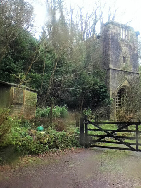
One of the main attractions in Redtye is its historic church, which dates back to the medieval period and features stunning architecture and intricate stained glass windows. The church is a focal point for the community and hosts regular services and events throughout the year.

Overall, Redtye offers a peaceful and idyllic setting for those looking to escape the hustle and bustle of city life and immerse themselves in the beauty of the Cornish countryside.

If you have any feedback on the listing, please let us know in the comments section below.
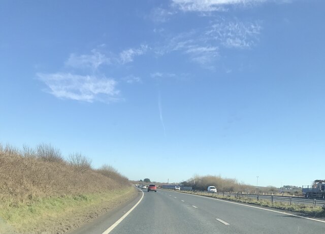
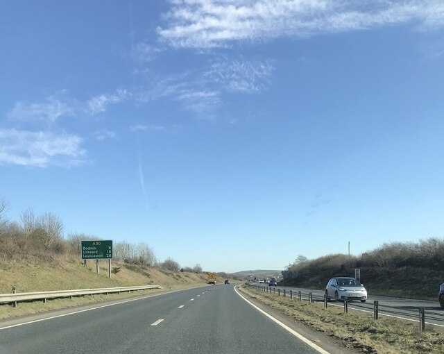
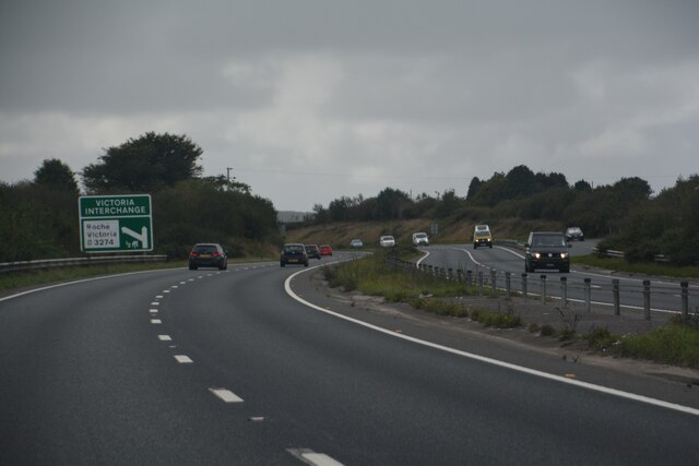
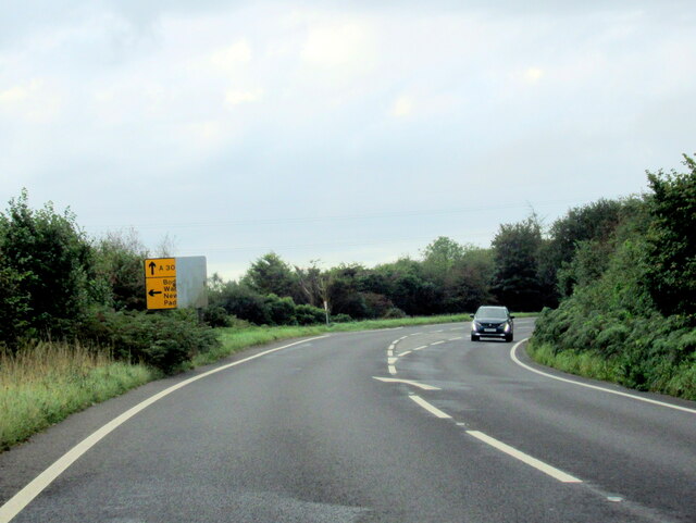
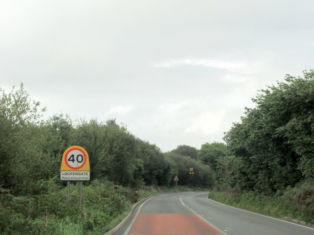
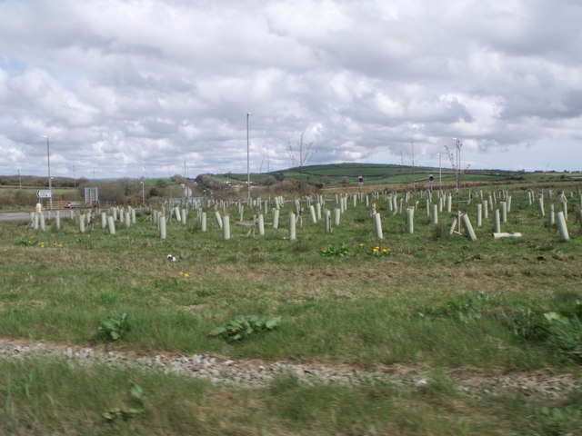
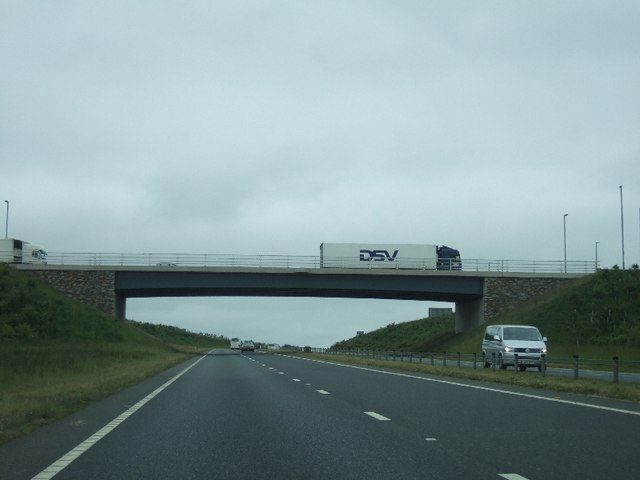
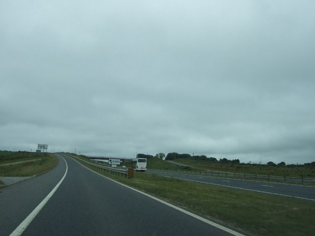
Redtye Images

Images are sourced within 2km of 50.433379/-4.7893967 or Grid Reference SX0263. Thanks to Geograph Open Source API. All images are credited.

Scrub beside the A391 south of Innis Downs
Lily Pond at Mena Farm Campsite
The A30 west approaching Victoria Interchange
A30 east approaching junction for A389 & A391 near Bodmin
Road, Lanivet Heading east from Tremore with a signpost marking the start of a footpath going off to the right towards Higher Woodley.
Road, Lanivet
Heading east from Tremore with a signpost marking the start of a footpath going off to the right towards Higher Woodley.
Innis Methodist Church
St Benet's Abbey
St Benet's Abbey
A30 approaching the turnoff for Wadebridge
A30 towards Innis Downs
A30 Six miles to Bodmin
Roche : A30 Looking along the A30.
Roche : A30
Looking along the A30.
The A391 heading south from A30, Bodmin
The A391 at Lockengate village sign
Roundabout just off A30, south west of Bodmin
Innis Downs bridge over A30 For many years, this was the end of the dual carriageway section of the A30, and all traffic had to negotiate the roundabout at Innis Downs.  Now the dual carriageway continues, and the traffic jams have been moved.  The junction continues to be well used, by traffic from the A30 travelling to the Eden Project.
Innis Downs bridge over A30
For many years, this was the end of the dual carriageway section of the A30, and all traffic had to negotiate the roundabout at Innis Downs. Now the dual carriageway continues, and the traffic jams have been moved. The junction continues to be well used, by traffic from the A30 travelling to the Eden Project.
Slip road off A30 at Victoria This recently completed junction lacks mature vegetation.
Slip road off A30 at Victoria
This recently completed junction lacks mature vegetation.
Disused windpump south of Higher Woodley Farm
Lanivet : Truro Road Truro Road with a sign saying it's a 30mph zone and the vehicle should slow down.
Lanivet : Truro Road
Truro Road with a sign saying it's a 30mph zone and the vehicle should slow down.
Show me another place!

Redtye is located at Grid Ref: SX0263 (Lat: 50.433379, Lng: -4.7893967)

Unitary Authority: Cornwall

Police Authority: Devon and Cornwall

What 3 Words

///operating.message.diverting. Near Roche, Cornwall

Nearby Locations

Redtye

Related Wikis

Redtye

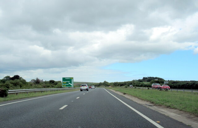
Redtye is a hamlet in mid Cornwall, England. Redtye is southwest of Lanivet on the A30 main road. == References ==

Rosehill, Cornwall

Rosehill Manor is a Grade II* listed country house at Penzance in west Cornwall, England, UK. The house was built in 1814 for Richard Oxnam (1768–1844...

Lower Woon

Lower Woon is a hamlet in the civil parish of Luxulyan (where the 2011 census population was included) in Cornwall, England, UK. It is approximately 0...

Retire Common

Retire Common is a Site of Special Scientific Interest, noted for its biological characteristics, in mid Cornwall, England, UK. == Geography == The 62...

Nearby Amenities

Located within 500m of 50.433379,-4.7893967
Motorway Junction
Innis Downs
Lat/Long: 50.4327026/-4.7827063
The data included in this document is from www.openstreetmap.org. The data is made available under ODbL.

Have you been to Redtye?

Leave your review of Redtye below (or comments, questions and feedback).