Barlow Fold

Settlement in Lancashire

England

Barlow Fold

Park 66, Pilsworth Retail Park Park 66 was a leisure park in the Pilsworth area, just off junction 3 of the M66 motorway, around 2 miles from Bury town centre. It was home to a Vue cinema, a bowling alley and several restaurants. When the Vue cinema opened in 1989, it was one of the first multiplex cinemas in the North West of England. The cinema closed in 2010, following the development of the Rock in the town centre; the bowling alley closed in 2012 with the restaurants soon following, leaving the site to quickly become derelict.

The site, which neighbours an existing Asda Superstore, McDonald's, Travelodge and Brewers Fayre pub, was cleared and redeveloped in 2018-19.
Park 66, Pilsworth Retail Park Credit: David Dixon

Barlow Fold is a small village located in the county of Lancashire, in the northwest of England. Situated in the borough of Bury, Barlow Fold is surrounded by picturesque countryside and offers a peaceful and idyllic setting for its residents.

The village itself is characterized by a tight-knit community and a charming rural atmosphere. It is home to a population of approximately 500 people, making it a close-knit and friendly community. The village has a rich history, with records dating back to medieval times, and evidence of Roman settlements in the area.

Barlow Fold is well-served by amenities and facilities. It has a local primary school, providing education for the village's younger residents. There is also a village hall which hosts various community events, fostering a strong sense of community spirit. The village boasts a few local shops and pubs, providing essentials and a place for locals to gather and socialize.

The surrounding area offers plenty of opportunities for outdoor activities and leisure pursuits. The village is located near to beautiful countryside, including scenic walking trails and nature reserves, making it an ideal location for those who enjoy the outdoors.

In terms of transportation, Barlow Fold is well-connected to the wider region. It is located a short distance from major road networks, allowing for easy access to nearby towns and cities such as Bury and Manchester. Public transport options, including bus services, are also available for those who prefer not to drive.

Overall, Barlow Fold is a charming village in Lancashire, offering a peaceful and close-knit community, beautiful countryside, and convenient access to amenities and transportation links.

If you have any feedback on the listing, please let us know in the comments section below.
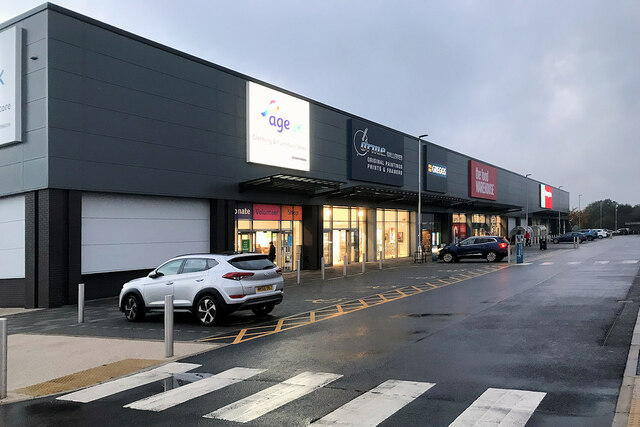
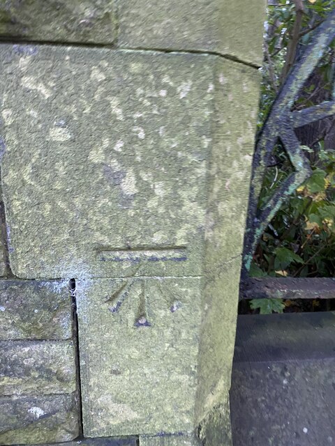
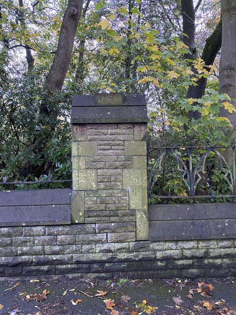
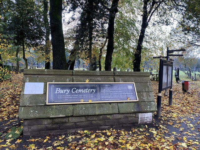
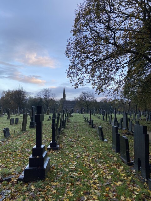
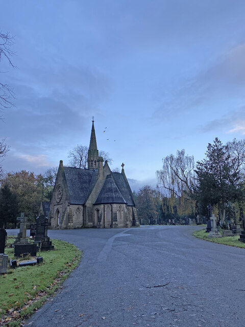
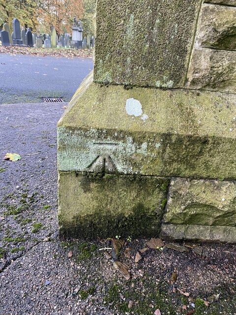
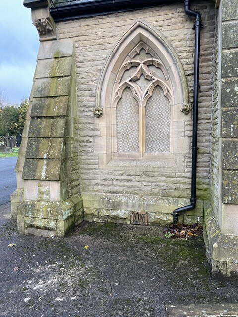
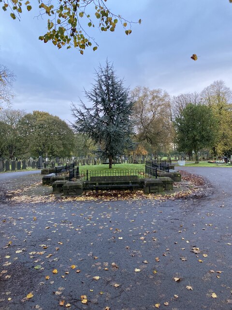
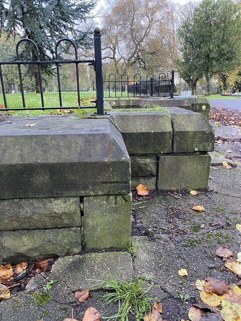
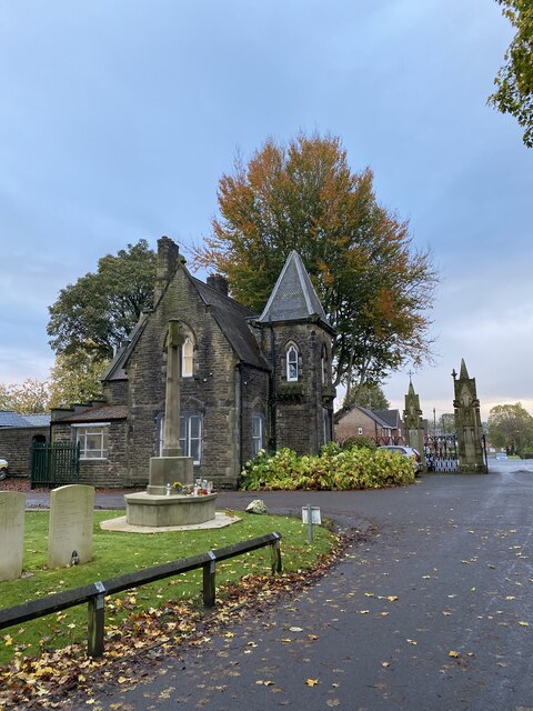
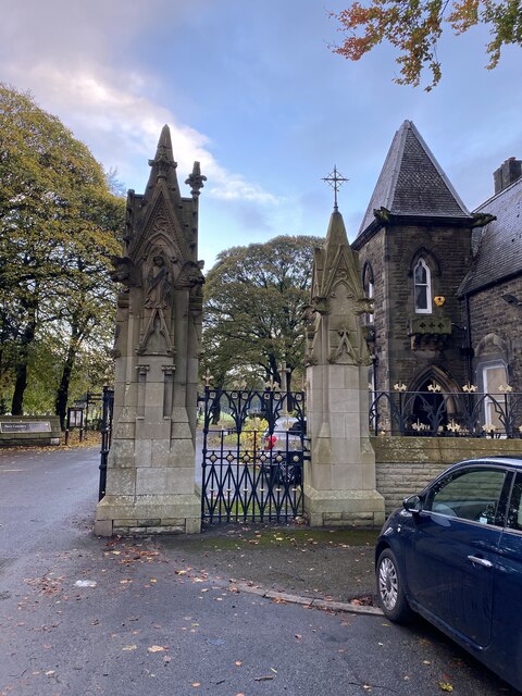
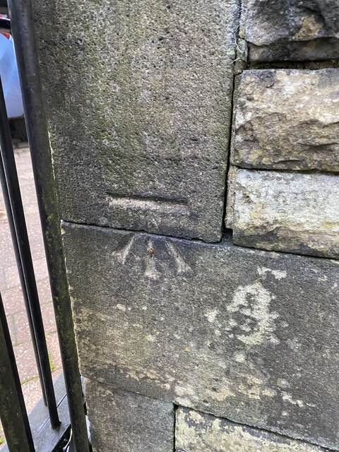
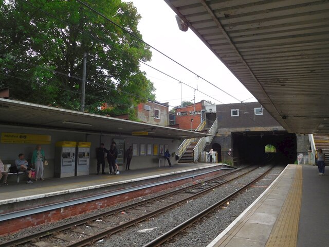
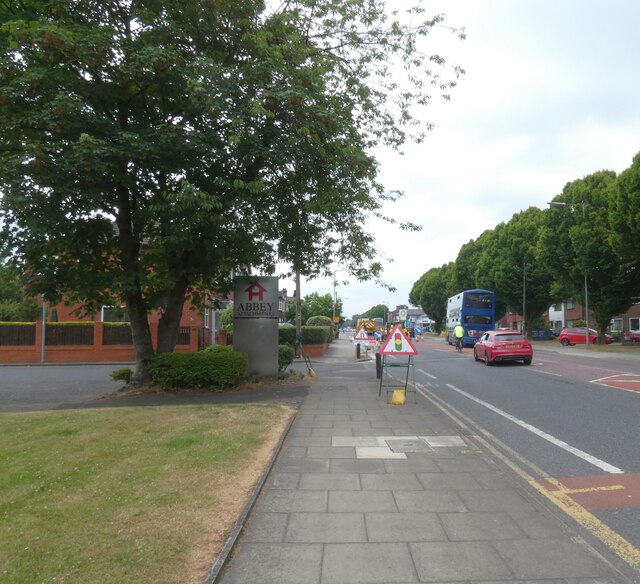
Barlow Fold Images

Images are sourced within 2km of 53.568883/-2.2949329 or Grid Reference SD8008. Thanks to Geograph Open Source API. All images are credited.

Park 66, Pilsworth Retail Park Park 66 was a leisure park in the Pilsworth area, just off junction 3 of the M66 motorway, around 2 miles from Bury town centre. It was home to a Vue cinema, a bowling alley and several restaurants. When the Vue cinema opened in 1989, it was one of the first multiplex cinemas in the North West of England. The cinema closed in 2010, following the development of the Rock in the town centre; the bowling alley closed in 2012 with the restaurants soon following, leaving the site to quickly become derelict.

The site, which neighbours an existing Asda Superstore, McDonald's, Travelodge and Brewers Fayre pub, was cleared and redeveloped in 2018-19.
Park 66, Pilsworth Retail Park
Park 66 was a leisure park in the Pilsworth area, just off junction 3 of the M66 motorway, around 2 miles from Bury town centre. It was home to a Vue cinema, a bowling alley and several restaurants. When the Vue cinema opened in 1989, it was one of the first multiplex cinemas in the North West of England. The cinema closed in 2010, following the development of the Rock in the town centre; the bowling alley closed in 2012 with the restaurants soon following, leaving the site to quickly become derelict. The site, which neighbours an existing Asda Superstore, McDonald's, Travelodge and Brewers Fayre pub, was cleared and redeveloped in 2018-19.
KFC Pilsworth Park 66 was a leisure park in the Pilsworth area, just off junction 3 of the M66 motorway, around 2 miles from Bury town centre. It was home to a Vue cinema, a bowling alley and several restaurants. When the Vue cinema opened in 1989, it was one of the first multiplex cinemas in the North West of England. The cinema closed in 2010, following the development of the Rock in the town centre; the bowling alley closed in 2012 with the restaurants soon following, leaving the site to quickly become derelict.

The site, which neighbours an existing Asda Superstore, McDonald's, Travelodge and Brewers Fayre pub, was cleared and redeveloped in 2018-19.
KFC Pilsworth
Park 66 was a leisure park in the Pilsworth area, just off junction 3 of the M66 motorway, around 2 miles from Bury town centre. It was home to a Vue cinema, a bowling alley and several restaurants. When the Vue cinema opened in 1989, it was one of the first multiplex cinemas in the North West of England. The cinema closed in 2010, following the development of the Rock in the town centre; the bowling alley closed in 2012 with the restaurants soon following, leaving the site to quickly become derelict. The site, which neighbours an existing Asda Superstore, McDonald's, Travelodge and Brewers Fayre pub, was cleared and redeveloped in 2018-19.
OS Cut Mark - Bury, Bury Cemetery Wall <span class="nowrap"><a title="https://www.bench-marks.org.uk/bm105596" rel="nofollow ugc noopener" href="https://www.bench-marks.org.uk/bm105596">Link</a><img style="margin-left:2px;" alt="External link" title="External link - shift click to open in new window" src="https://s1.geograph.org.uk/img/external.png" width="10" height="10"/></span>
OS Cut Mark - Bury, Bury Cemetery Wall
Location of OS Cut Mark - Bury, Bury Cemetery Wall
Entrance to Bury Cemetery
Bury Cemetery
Bury Cemetery
Bury Cemetery Church
OS Cut Mark - Bury, Bury Cemetery Chapel <span class="nowrap"><a title="https://www.bench-marks.org.uk/bm105599" rel="nofollow ugc noopener" href="https://www.bench-marks.org.uk/bm105599">Link</a><img style="margin-left:2px;" alt="External link" title="External link - shift click to open in new window" src="https://s1.geograph.org.uk/img/external.png" width="10" height="10"/></span>
OS Cut Mark - Bury, Bury Cemetery Chapel
Location of OS Cut Mark - Bury, Bury Cemetery Chapel
Remains of old cemetery chapel
OS Cut Mark - Bury, Bury Chapel Foundation Remains <span class="nowrap"><a title="https://www.bench-marks.org.uk/bm105600" rel="nofollow ugc noopener" href="https://www.bench-marks.org.uk/bm105600">Link</a><img style="margin-left:2px;" alt="External link" title="External link - shift click to open in new window" src="https://s1.geograph.org.uk/img/external.png" width="10" height="10"/></span>
OS Cut Mark - Bury, Bury Chapel Foundation Remains
War memorial Bury cemetery
OS Cut Mark - Gigg, Cemetery Gate Post <span class="nowrap"><a title="https://www.bench-marks.org.uk/bm62830" rel="nofollow ugc noopener" href="https://www.bench-marks.org.uk/bm62830">Link</a><img style="margin-left:2px;" alt="External link" title="External link - shift click to open in new window" src="https://s1.geograph.org.uk/img/external.png" width="10" height="10"/></span>
OS Cut Mark - Gigg, Cemetery Gate Post
Location
Location
OS Cut Mark - Bury, Bury Cemetery Wall <span class="nowrap"><a title="https://www.bench-marks.org.uk/bm105595" rel="nofollow ugc noopener" href="https://www.bench-marks.org.uk/bm105595">Link</a><img style="margin-left:2px;" alt="External link" title="External link - shift click to open in new window" src="https://s1.geograph.org.uk/img/external.png" width="10" height="10"/></span>
OS Cut Mark - Bury, Bury Cemetery Wall
Location of OS Cut Mark - Bury, Bury Cemetery Wall
Whitefield Metrolink Tram Station 
Looking towards Bury.
Whitefield Metrolink Tram Station
Looking towards Bury.
Roadworks on Manchester Road The A56 towards Bury.
Roadworks on Manchester Road
The A56 towards Bury.
Show me another place!

Barlow Fold is located at Grid Ref: SD8008 (Lat: 53.568883, Lng: -2.2949329)

Unitary Authority: Bury

Police Authority: Greater Manchester

What 3 Words

///bugs.shed.units. Near Radcliffe, Manchester

Related Wikis

Hollins Brook

Hollins Brook is a watercourse in Greater Manchester and a tributary of the River Roch. It originates in Unsworth and is one of the habitats that makes...

Whittle Brook

Whittle Brook is a watercourse in Greater Manchester and a tributary of the River Roch, classified as a main river.: 20  It originates in the outskirts...

Parr Brook

Parr Brook is a watercourse in Greater Manchester and a tributary of the River Roch. It originates in Unsworth and flows through Bury Golf Club before...
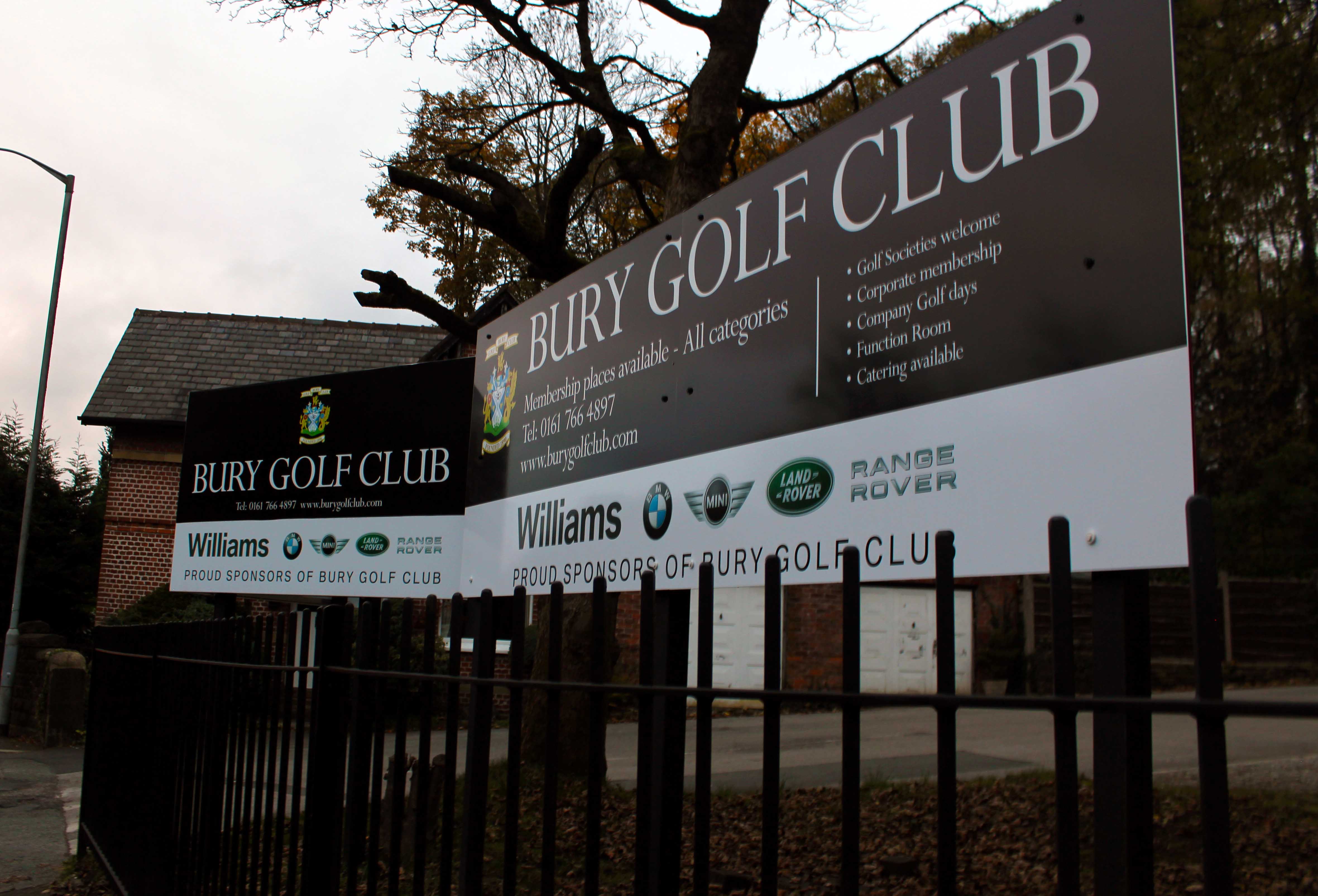
Bury Golf Club

Bury Golf Club, is a private golf course and club in Unsworth, Bury, designed by Alister MacKenzie, Charles Hugh Alison, and Harry Shapland Colt. The club...

Bury Hebrew Congregation

Bury Hebrew Congregation, also known as Bet Knesset Sha'ar HahShamayim (Gate of Heaven Synagogue) is an Orthodox synagogue, serving the Jewish community...
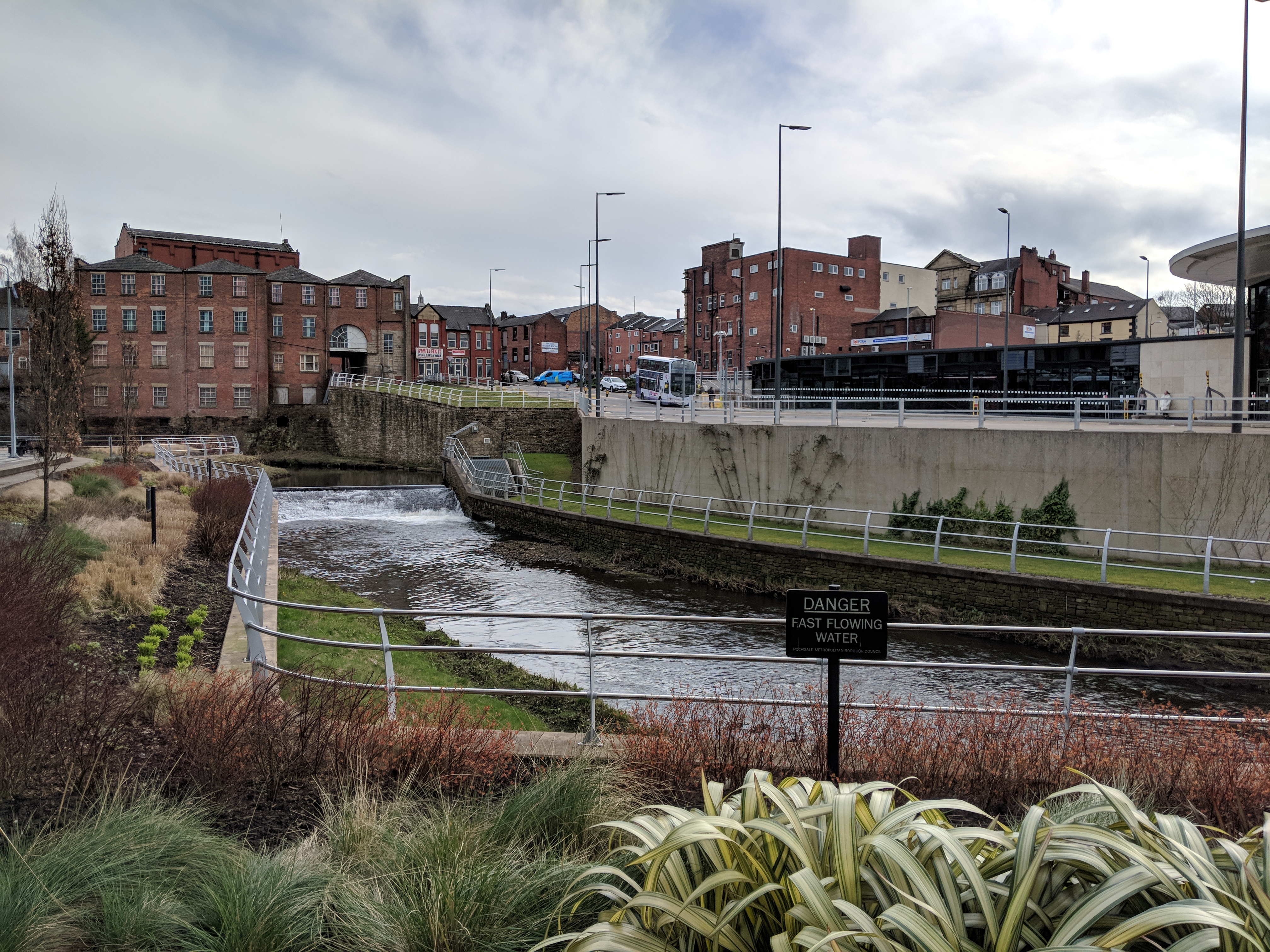
River Roch

The River Roch is a river in Greater Manchester in North West England, a tributary of the River Irwell. == Course == Rising on Chelburn Moor (south of...
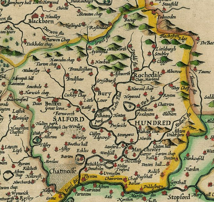
Salford Hundred

The Salford Hundred (also known as Salfordshire) was one of the subdivisions of the historic county of Lancashire in Northern England (see:Hundred (county...

Parish Church of St Mary, Radcliffe

The Parish Church of St Mary, Radcliffe is a church in Radcliffe, Greater Manchester. It was built during the 14th century, but the tower was not added...

Nearby Amenities

Located within 500m of 53.568883,-2.2949329
Created By: YahooApplet 1.0
Lat/Long: 53.5720126/-2.3003249
Created By: YahooApplet 1.0
Lat/Long: 53.5719361/-2.2994666
Created By: YahooApplet 1.0
Lat/Long: 53.5718342/-2.2988873
Created By: YahooApplet 1.0
Lat/Long: 53.5717195/-2.2982435
Created By: YahooApplet 1.0
Lat/Long: 53.5715411/-2.2975569
Created By: YahooApplet 1.0
Lat/Long: 53.57135/-2.2970204
Created By: YahooApplet 1.0
Lat/Long: 53.5707894/-2.2959905
Created By: YahooApplet 1.0
Lat/Long: 53.5703816/-2.2957973
Created By: YahooApplet 1.0
Lat/Long: 53.5698847/-2.2956471
Created By: YahooApplet 1.0
Lat/Long: 53.5694896/-2.2957544
Created By: YahooApplet 1.0
Lat/Long: 53.569222/-2.2961836
Created By: YahooApplet 1.0
Lat/Long: 53.5692093/-2.2964196
Created By: YahooApplet 1.0
Lat/Long: 53.5690182/-2.2966127
Created By: YahooApplet 1.0
Lat/Long: 53.568827/-2.2969775
Created By: YahooApplet 1.0
Lat/Long: 53.5686231/-2.2973638
Created By: YahooApplet 1.0
Lat/Long: 53.5685339/-2.2979217
Created By: YahooApplet 1.0
Lat/Long: 53.5685722/-2.2986512
Created By: YahooApplet 1.0
Lat/Long: 53.5690309/-2.3006682
Created By: YahooApplet 1.0
Lat/Long: 53.5691201/-2.3013334
Created By: YahooApplet 1.0
Lat/Long: 53.5691456/-2.3018484
Mini Roundabout
Direction: clockwise
Lat/Long: 53.569/-2.2882084
Bus Stop
Croft Lane/Hollins Lane
Bus: yes
Naptan AtcoCode: 1800NC02221
Naptan Bearing: NE
Naptan CommonName: Croft Lane/Hollins Lane
Naptan Indicator: Opp. House 30/32
Naptan Landmark: OPP HOUSE 30/32
Naptan NaptanCode: mandmjdj
Naptan Notes: INDICATOR AMENDED
Naptan PlusbusZoneRef: MNCRPIC
Naptan ShortCommonName: Hollins Lane
Naptan Street: Croft La
Naptan Verified: no
Network: TfGM
Public Transport: platform
Source: naptan_import
Wheelchair: yes
Lat/Long: 53.5697786/-2.2876318
Bus Stop
Croft Lane/Hollins Lane
Bus: yes
Naptan AtcoCode: 1800NC02241
Naptan Bearing: SW
Naptan CommonName: Croft Lane/Hollins Lane
Naptan Indicator: O/s House 16
Naptan Landmark: House 20
Naptan NaptanCode: mandmjdp
Naptan Notes: INDICATOR AMENDED
Naptan PlusbusZoneRef: MNCRPIC
Naptan ShortCommonName: Hollins Lane
Naptan Street: CROFT LANE
Naptan Verified: no
Network: TfGM
Public Transport: platform
Source: naptan_import
Wheelchair: yes
Lat/Long: 53.5693916/-2.2878406
Bus Stop
Hollins Lane/Croft Lane
Bus: yes
Naptan AtcoCode: 1800NC05651
Naptan Bearing: W
Naptan CommonName: Hollins Lane/Croft Lane
Naptan Indicator: House 363
Naptan Landmark: HOUSE 363
Naptan NaptanCode: mandmptg
Naptan PlusbusZoneRef: MNCRPIC
Naptan ShortCommonName: Croft Lane
Naptan Street: HOLLINS LANE
Naptan Verified: no
Network: TfGM
Public Transport: platform
Source: naptan_import
Wheelchair: yes
Lat/Long: 53.5689063/-2.2878071
Bus Stop
Hollins Lane/Croft Lane
Bus: yes
Naptan AtcoCode: 1800NC05661
Naptan Bearing: E
Naptan CommonName: Hollins Lane/Croft Lane
Naptan Indicator: House 372
Naptan Landmark: HOUSE 372
Naptan NaptanCode: mandmptj
Naptan PlusbusZoneRef: MNCRPIC
Naptan ShortCommonName: Croft Lane
Naptan Street: HOLLINS LANE
Naptan Verified: no
Network: TfGM
Public Transport: platform
Source: naptan_import
Wheelchair: yes
Lat/Long: 53.568961/-2.2875055
Bus Stop
Dumers Lane/Trade Park
Bench: no
Bus: yes
Naptan AtcoCode: 1800NC05681
Naptan Bearing: NE
Naptan CommonName: Dumers Lane/Trade Park
Naptan Indicator: Op House 47
Naptan Landmark: BUSINESS Park
Naptan NaptanCode: mandmptp
Naptan PlusbusZoneRef: MNCRPIC
Naptan ShortCommonName: Trade Park
Naptan Street: DUMERS LANE
Naptan Verified: no
Network: TfGM
Public Transport: platform
Shelter: yes
Source: naptan_import
Lat/Long: 53.5727723/-2.2984346
Bus Stop
Dumers Lane/Trade Park
Bus: yes
Naptan AtcoCode: 1800NC05691
Naptan Bearing: SW
Naptan CommonName: Dumers Lane/Trade Park
Naptan Indicator: Nr Trade Park
Naptan Landmark: WAREHOUSE
Naptan NaptanCode: mandmptw
Naptan PlusbusZoneRef: MNCRPIC
Naptan ShortCommonName: Trade Park
Naptan Street: DUMERS LANE
Naptan Verified: no
Network: TfGM
Public Transport: platform
Shelter: yes
Source: naptan_import
Lat/Long: 53.572502/-2.2987045
Bus Stop
Dumers Lane/The Bridge Inn
Bench: yes
Bus: yes
Naptan AtcoCode: 1800NC05701
Naptan Bearing: NE
Naptan CommonName: Dumers Lane/The Bridge Inn
Naptan Indicator: Bridge Inn
Naptan Landmark: BRIDGE INN
Naptan NaptanCode: mandmpwa
Naptan PlusbusZoneRef: MNCRPIC
Naptan ShortCommonName: The Bridge Inn
Naptan Street: DUMERS LANE
Naptan Verified: no
Network: TfGM
Public Transport: platform
Shelter: yes
Source: naptan_import
Lat/Long: 53.5714993/-2.3006908
Bus Stop
Manchester Road/Blackford Bridge
Bus: yes
Naptan AtcoCode: 1800NC06741
Naptan Bearing: N
Naptan CommonName: Manchester Road/Blackford Bridge
Naptan Indicator: Opp Flats 1-6
Naptan Landmark: BRIDGE
Naptan NaptanCode: mandmwtj
Naptan Notes: LOCATION AMENDED
Naptan PlusbusZoneRef: MNCRPIC
Naptan ShortCommonName: Blackford Bridge
Naptan Street: MANCHESTER ROAD
Naptan Verified: no
Network: TfGM
Public Transport: platform
Source: naptan_import
Lat/Long: 53.5663427/-2.2922893
Bus Stop
Manchester Road/Blackford Bridge
Bus: yes
Naptan AtcoCode: 1800NC06751
Naptan Bearing: S
Naptan CommonName: Manchester Road/Blackford Bridge
Naptan Indicator: Texaco
Naptan Landmark: HYUNDAI GARAGE
Naptan NaptanCode: mandmwtm
Naptan PlusbusZoneRef: MNCRPIC
Naptan ShortCommonName: Blackford Bridge
Naptan Street: MANCHESTER ROAD
Naptan Verified: no
Network: TfGM
Public Transport: platform
Source: naptan_import
Lat/Long: 53.5668456/-2.2924739
Bus Stop
Manchester Road/Bird i' th' Hand
Bus: yes
Naptan AtcoCode: 1800NC06761
Naptan Bearing: S
Naptan CommonName: Manchester Road/Bird i' th' Hand
Naptan Indicator: Bird Ith Hand
Naptan Landmark: HOUSE 597
Naptan NaptanCode: mandmwtp
Naptan PlusbusZoneRef: MNCRPIC
Naptan ShortCommonName: Bird i' th' Hand
Naptan Street: MANCHESTER ROAD
Naptan Verified: no
Network: TfGM
Public Transport: platform
Source: naptan_import
Lat/Long: 53.5687488/-2.2934534
Bus Stop
Manchester Road/Bird i' th' Hand
Bus: yes
Naptan AtcoCode: 1800NC06771
Naptan Bearing: N
Naptan CommonName: Manchester Road/Bird i' th' Hand
Naptan Indicator: Os Flat 602
Naptan Landmark: FLATS 602/604
Naptan NaptanCode: mandmwtw
Naptan Notes: INDICATOR AMENDED
Naptan PlusbusZoneRef: MNCRPIC
Naptan ShortCommonName: Bird i' th' Hand
Naptan Street: MANCHESTER ROAD
Naptan Verified: no
Network: TfGM
Public Transport: platform
Source: naptan_import
Lat/Long: 53.5692152/-2.2938795
Bus Stop
Manchester Road/Mount Zion Road
Bus: yes
Naptan AtcoCode: 1800NC06781
Naptan Bearing: S
Naptan CommonName: Manchester Road/Mount Zion Road
Naptan Indicator: Service Station
Naptan Landmark: SERVICE STATION
Naptan NaptanCode: mandpada
Naptan PlusbusZoneRef: MNCRPIC
Naptan ShortCommonName: Mount Zion Road
Naptan Street: MANCHESTER ROAD
Naptan Verified: no
Network: TfGM
Public Transport: platform
Source: naptan_import
Lat/Long: 53.5705269/-2.2941151
Bus Stop
Manchester Road/Mount Zion Road
Bus: yes
Naptan AtcoCode: 1800NC06791
Naptan Bearing: N
Naptan CommonName: Manchester Road/Mount Zion Road
Naptan Indicator: Atrium House
Naptan Landmark: HOUSE 560
Naptan NaptanCode: mandpadg
Naptan PlusbusZoneRef: MNCRPIC
Naptan ShortCommonName: Mount Zion Road
Naptan Street: MANCHESTER ROAD
Naptan Verified: no
Network: TfGM
Public Transport: platform
Source: naptan_import
Lat/Long: 53.5711549/-2.2946027
Bus Stop
Manchester Road/Dumers Lane (Stop C)
Bus: yes
Local Ref: C
Naptan AtcoCode: 1800NC06801
Naptan Bearing: S
Naptan CommonName: Manchester Road/Dumers Lane (Stop C)
Naptan Indicator: Stop C
Naptan Landmark: Esso Garage
Naptan NaptanCode: mandpadj
Naptan PlusbusZoneRef: MNCRPIC
Naptan ShortCommonName: Dumers Lane
Naptan Street: MANCHESTER ROAD
Naptan Verified: no
Network: TfGM
Public Transport: platform
Shelter: yes
Source: naptan_import
Lat/Long: 53.5729695/-2.2950683
Waterway: weir
Lat/Long: 53.56579/-2.2930256
Barrier: bollard
Bicycle: yes
Foot: yes
Horse: yes
Motor Vehicle: no
Lat/Long: 53.5709809/-2.3007684
Barrier: bollard
Bicycle: yes
Foot: yes
Horse: yes
Motor Vehicle: no
Lat/Long: 53.5708071/-2.3004704
Crossing
Crossing: marked
Lat/Long: 53.5670602/-2.2927418
The data included in this document is from www.openstreetmap.org. The data is made available under ODbL.

Have you been to Barlow Fold?

Leave your review of Barlow Fold below (or comments, questions and feedback).