Barnacabber

Settlement in Argyllshire

Scotland

Barnacabber

Autumn woodland above Ardentinny On a forestry logging road bound for Knap, further north on Loch Long-side.

This photograph was taken during the Coronavirus (COVID-19) pandemic of 2020/21.
Autumn woodland above Ardentinny Credit: James T M Towill

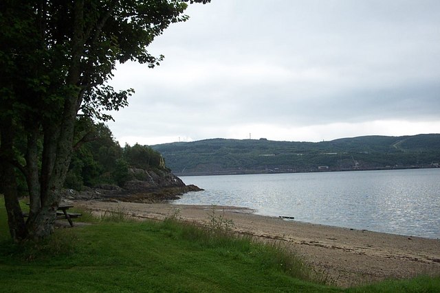
Barnacabber is a picturesque village located in the region of Argyllshire, Scotland. Situated on the western coast, it is nestled between rolling hills and the stunning Loch Fyne, offering residents and visitors breathtaking views of the surrounding landscape.

With a population of around 500, Barnacabber is a close-knit community that prides itself on its rich heritage and friendly atmosphere. The village is known for its charming stone cottages, which date back to the 18th century and add to the area's unique character.

Despite its small size, Barnacabber offers a range of amenities to cater to its residents' needs. The village boasts a local convenience store, a post office, and a primary school, ensuring that essential services are within easy reach. Additionally, Barnacabber is home to a traditional pub, where locals and tourists alike can gather to enjoy a pint and experience the warmth of Scottish hospitality.

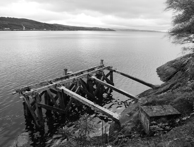
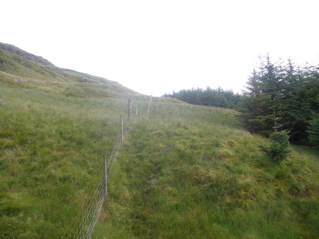
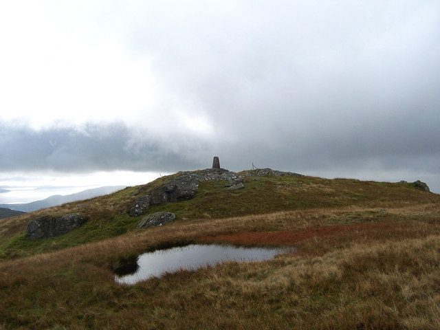
Nature enthusiasts will find themselves in paradise in Barnacabber. The surrounding area is rich in natural beauty, providing ample opportunities for outdoor activities such as hiking, fishing, and birdwatching. Loch Fyne, in particular, is renowned for its abundance of seafood, making it a popular spot for fishing enthusiasts and food lovers.

While Barnacabber may be a tranquil haven, it is also conveniently located near larger towns and cities. Glasgow is approximately a two-hour drive away, offering residents easy access to urban amenities and cultural attractions.

In summary, Barnacabber is a charming village that encapsulates the beauty of rural Scotland. Its stunning scenery, strong sense of community, and proximity to essential services and larger urban areas make it an ideal place to live or visit.

If you have any feedback on the listing, please let us know in the comments section below.

Barnacabber Images

Images are sourced within 2km of 56.055404/-4.9210331 or Grid Reference NS1888. Thanks to Geograph Open Source API. All images are credited.

Autumn woodland above Ardentinny On a forestry logging road bound for Knap, further north on Loch Long-side.

This photograph was taken during the Coronavirus (COVID-19) pandemic of 2020/21.
Autumn woodland above Ardentinny
On a forestry logging road bound for Knap, further north on Loch Long-side. This photograph was taken during the Coronavirus (COVID-19) pandemic of 2020/21.
Disused jetty at former WWII anti-submarine boom winch station This jetty is depicted on the 1:25k map, but not at other scales.  Very little information seems to exist about the site other than it apparently having been a winch station for an anti-submarine boom during WWII.  Some of the fittings appear to be perhaps a little more recent than this era; I did wonder if there was any connection with the  Loch Long Torpedo Range much further up the loch, the existence of which preservered well beyond the Second World War.

This photograph was taken during the Coronavirus (COVID-19) pandemic of 2020/21.
Disused jetty at former WWII anti-submarine boom winch station
This jetty is depicted on the 1:25k map, but not at other scales. Very little information seems to exist about the site other than it apparently having been a winch station for an anti-submarine boom during WWII. Some of the fittings appear to be perhaps a little more recent than this era; I did wonder if there was any connection with the Loch Long Torpedo Range much further up the loch, the existence of which preservered well beyond the Second World War. This photograph was taken during the Coronavirus (COVID-19) pandemic of 2020/21.
Disused winch station building by Loch Long A view of the seaward side of a (largely wooden) building at the winch station site. The shutters would have been lifted to enable passage of cables to the winches within the building.  Very little information seems to exist about the site other than it apparently having been a winch station for an anti-submarine boom during WWII. Some of the fittings appear to be perhaps a little more recent than this era; I did wonder if there was any connection with the Loch Long Toredo Raange much further up the loch, the existence of which preservered well beyond the Second World War.

This photograph was taken during the Coronavirus (COVID-19) pandemic of 2020/21.
Disused winch station building by Loch Long
A view of the seaward side of a (largely wooden) building at the winch station site. The shutters would have been lifted to enable passage of cables to the winches within the building. Very little information seems to exist about the site other than it apparently having been a winch station for an anti-submarine boom during WWII. Some of the fittings appear to be perhaps a little more recent than this era; I did wonder if there was any connection with the Loch Long Toredo Raange much further up the loch, the existence of which preservered well beyond the Second World War. This photograph was taken during the Coronavirus (COVID-19) pandemic of 2020/21.
Ground anchor above former winch station What appears to be a ground anchor of some description can be found in the woodland above the former winch station.

This photograph was taken during the Coronavirus (COVID-19) pandemic of 2020/21.
Ground anchor above former winch station
What appears to be a ground anchor of some description can be found in the woodland above the former winch station. This photograph was taken during the Coronavirus (COVID-19) pandemic of 2020/21.
Possible cable guide above former winch station Located a short distance from what appeared to be a ground anchor, this structure may well have been some kind of cable guide or stay.

This photograph was taken during the Coronavirus (COVID-19) pandemic of 2020/21.
Possible cable guide above former winch station
Located a short distance from what appeared to be a ground anchor, this structure may well have been some kind of cable guide or stay. This photograph was taken during the Coronavirus (COVID-19) pandemic of 2020/21.
Exterior of former winch station building This predominantly wooden building is adjacent to a concrete building (behind photographer).  The winches and associated mechanisms are within this wooden building; the concrete structure houses what may have been a generator room and toilet.

This photograph was taken during the Coronavirus (COVID-19) pandemic of 2020/21.
Exterior of former winch station building
This predominantly wooden building is adjacent to a concrete building (behind photographer). The winches and associated mechanisms are within this wooden building; the concrete structure houses what may have been a generator room and toilet. This photograph was taken during the Coronavirus (COVID-19) pandemic of 2020/21.
Winches and associated mechanisms A view within the former winch station building reveals a wealth of machinery remaining.  Unfortunately, the floor of this building is ankle-deep in water.

This photograph was taken during the Coronavirus (COVID-19) pandemic of 2020/21.
Winches and associated mechanisms
A view within the former winch station building reveals a wealth of machinery remaining. Unfortunately, the floor of this building is ankle-deep in water. This photograph was taken during the Coronavirus (COVID-19) pandemic of 2020/21.
View from the former WWII anti-submarine boom winch station A view across the disused jetty and Loch Long towards RNAD Coulport on the eastern shore.

This photograph was taken during the Coronavirus (COVID-19) pandemic of 2020/21.
View from the former WWII anti-submarine boom winch station
A view across the disused jetty and Loch Long towards RNAD Coulport on the eastern shore. This photograph was taken during the Coronavirus (COVID-19) pandemic of 2020/21.
A track behind Finart Bay A pleasant walk from Ardentinny village to reach the carpark at Finart Bay.
A track behind Finart Bay
A pleasant walk from Ardentinny village to reach the carpark at Finart Bay.
Glen Finart Burn near Craighoyle The burn will soon be completely shaded by fresh foliage
Glen Finart Burn near Craighoyle
The burn will soon be completely shaded by fresh foliage
Coille Mheadhanaich Rich woodland covering the northern slopes of Glen Finart.
Coille Mheadhanaich
Rich woodland covering the northern slopes of Glen Finart.
Minor road in Glen Finart At Hilary's Wood, which is on the right.
Minor road in Glen Finart
At Hilary's Wood, which is on the right.
Glen Finart Sunlight on the north side of the glen, near Craighoyle.
Glen Finart
Sunlight on the north side of the glen, near Craighoyle.
Minor road in Glen Finart Approaching Craighoyle from the south.
Minor road in Glen Finart
Approaching Craighoyle from the south.
Am Binnein Summit The cliffs on the north side of Am Binnein's summit as seen from the col linking the peak to Cruach a'Chaise
Am Binnein Summit
The cliffs on the north side of Am Binnein's summit as seen from the col linking the peak to Cruach a'Chaise
South-West Slopes of Cruach a'Chaise Rocky outcrops litter the south-west slopes of Cruach a'Chaise
South-West Slopes of Cruach a'Chaise
Rocky outcrops litter the south-west slopes of Cruach a'Chaise
Forestry road comes to an end Glen Finart
Fenceline at the edge of the forest below Cruach a' Chaise
Show me another place!

Barnacabber is located at Grid Ref: NS1888 (Lat: 56.055404, Lng: -4.9210331)

Unitary Authority: Argyll and Bute

Police Authority: Argyll and West Dunbartonshire

What 3 Words

///pure.pocketed.soldiers. Near Garelochhead, Argyll & Bute

Related Wikis

Glen Finart

Glen Finart (Scottish Gaelic: Gleann Fhionnaird) is a glacially formed glen on the Cowal peninsula, Argyll and Bute, Scotland. The glen is within the...

Ardentinny

Ardentinny (Scottish Gaelic: Àird an t-Sionnaich or Àird an Teine) is a small village on the western shore of Loch Long, 14 miles (23 km) north of Dunoon...

RNAD Coulport

Royal Naval Armaments Depot Coulport, shortened to RNAD Coulport, on Loch Long in Argyll, Scotland, is the storage and loading facility for the nuclear...

Beinn Ruadh

Beinn Ruadh (664 m) is a mountain of Argyll and Bute in Scotland. Part of the Grampian Mountains, it lies between Loch Eck and Loch Long in Argyll Forest...

Nearby Amenities

Located within 500m of 56.055404,-4.9210331
Glenfinart
Name Gd: Gleann Fhionnaird
Place: hamlet
Lat/Long: 56.0557913/-4.9190909
Fingal's Well
Natural: spring
Lat/Long: 56.0545607/-4.9202381
Power: pole
Lat/Long: 56.0543612/-4.918292
Power: pole
Lat/Long: 56.0583933/-4.9243672
Power: pole
Lat/Long: 56.0581097/-4.9237139
Waterway: waterfall
Lat/Long: 56.0532368/-4.9186412
The data included in this document is from www.openstreetmap.org. The data is made available under ODbL.

Have you been to Barnacabber?

Leave your review of Barnacabber below (or comments, questions and feedback).