Barnbarroch

Settlement in Kirkcudbrightshire

Scotland

Barnbarroch

Ready to go A fleet of sailing dinghies ready to take to the water at the Solway Yacht Club slipway.
Ready to go Credit: Jonathan Wilkins

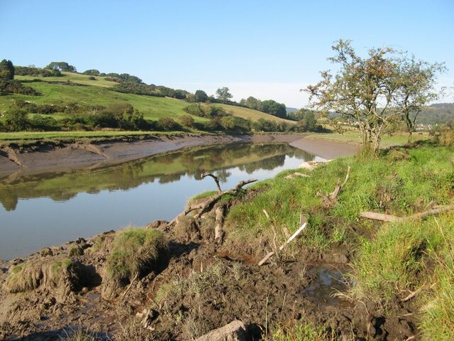
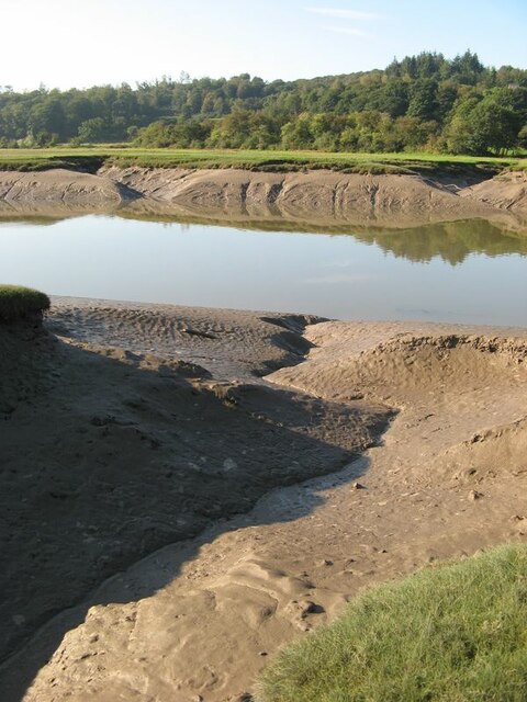
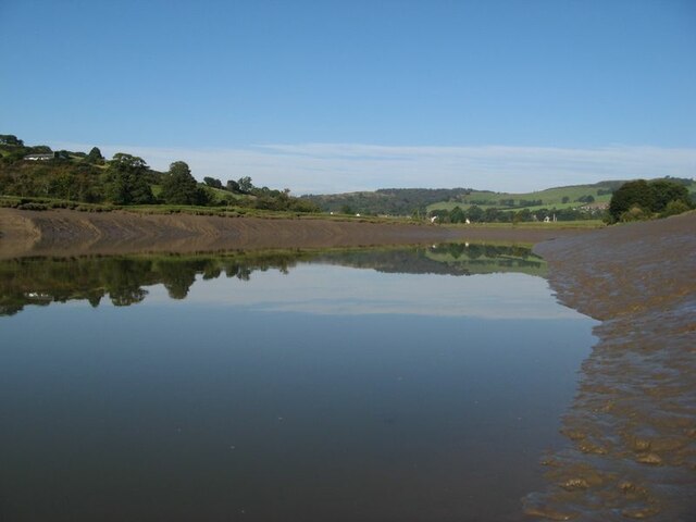
Barnbarroch is a small rural estate located in the historic county of Kirkcudbrightshire in southwestern Scotland. Situated approximately 3 miles northeast of the town of Wigtown, it lies close to the eastern shore of Wigtown Bay, an area renowned for its natural beauty and wildlife.

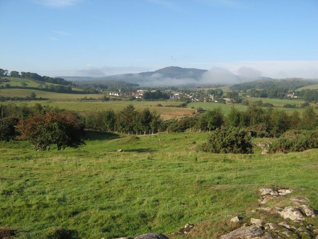
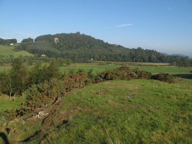
The estate encompasses a mixture of farmland, woodland, and open countryside, covering an area of around 1,500 acres. It is characterized by rolling hills, with stunning views of the surrounding landscape. The fertile land lends itself to agricultural activities, with farming being a significant part of the local economy.

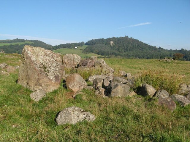
The area is rich in history, with evidence of human settlement dating back to ancient times. The name "Barnbarroch" is derived from the Scottish Gaelic words "barn" meaning "gap" and "barroch" meaning "hilly," reflecting the topography of the region. The estate has been in the ownership of the same family for several generations, contributing to its sense of tradition and continuity.

Barnbarroch is renowned for its tranquillity and offers a peaceful retreat for those seeking to escape the hustle and bustle of modern life. It is a haven for outdoor enthusiasts, with numerous walking trails and cycling routes crisscrossing the estate. The area is also popular with birdwatchers, as Wigtown Bay is a designated Special Protection Area for its diverse avian population, including various species of wading birds and waterfowl.

Overall, Barnbarroch is a picturesque and serene location, offering a glimpse into the natural beauty and rich history of Kirkcudbrightshire.

If you have any feedback on the listing, please let us know in the comments section below.
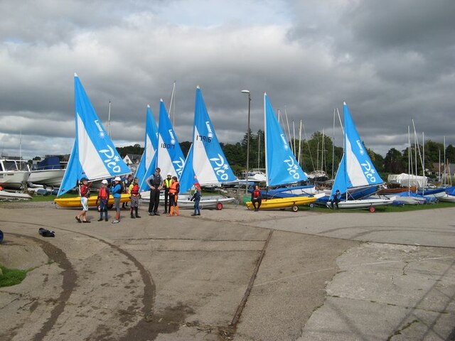
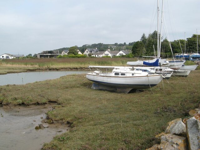
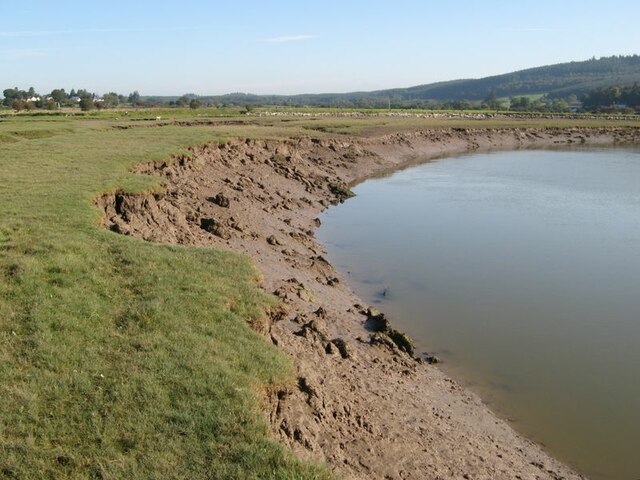
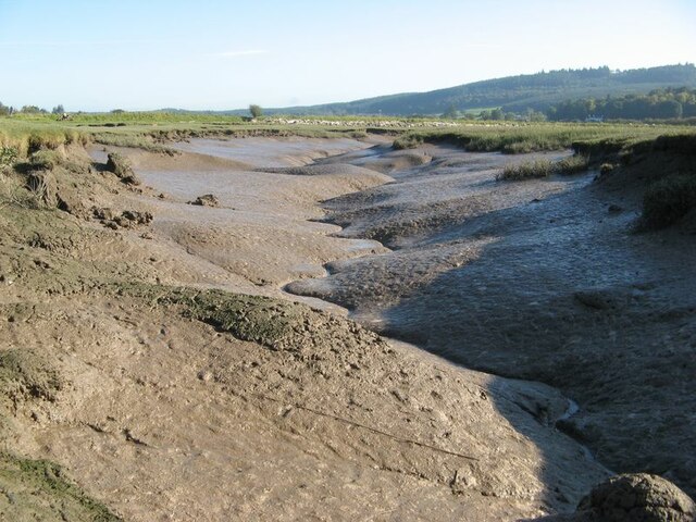
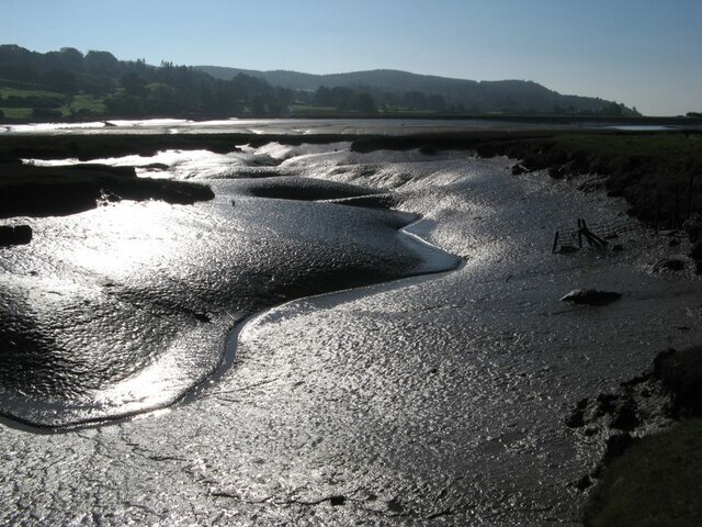
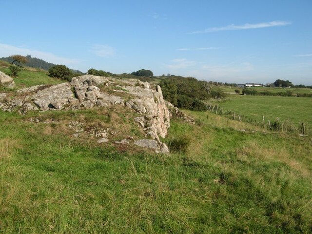
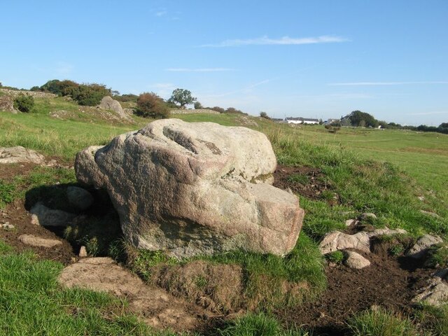
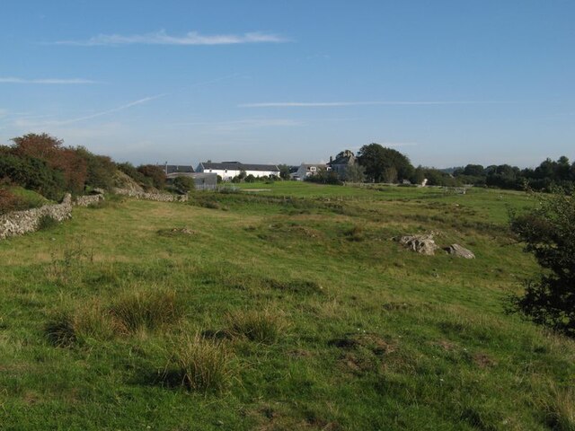
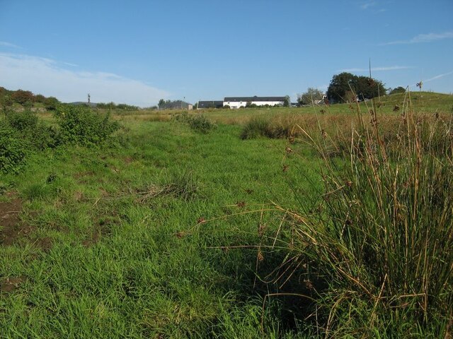
Barnbarroch Images

Images are sourced within 2km of 54.892638/-3.8119039 or Grid Reference NX8356. Thanks to Geograph Open Source API. All images are credited.

Ready to go A fleet of sailing dinghies ready to take to the water at the Solway Yacht Club slipway.
Ready to go
A fleet of sailing dinghies ready to take to the water at the Solway Yacht Club slipway.
Boat storage Boats standing on saltmarsh above the normal tide level.
Boat storage
Boats standing on saltmarsh above the normal tide level.
Urr Water valley Despite its prominence on the map, the river is lost in the landscape of meadows, woodland and hedges. The view across the valley takes in the vision of Screel Hill rising above early mists.
Urr Water valley
Despite its prominence on the map, the river is lost in the landscape of meadows, woodland and hedges. The view across the valley takes in the vision of Screel Hill rising above early mists.
Urr Water valley 2 A view to the northwest over the valley of the Urr Water, which is invisible in its distant, incised course. Lush meadows occupy the low ground, in contrast to the granite knoll from which the image was captured.
Urr Water valley 2
A view to the northwest over the valley of the Urr Water, which is invisible in its distant, incised course. Lush meadows occupy the low ground, in contrast to the granite knoll from which the image was captured.
Urr Water by Palnackie Brae A view upstream of the river at low tide with reflections of Palnackie Brae.
Urr Water by Palnackie Brae
A view upstream of the river at low tide with reflections of Palnackie Brae.
Boulder cache The fields atop the hill of Meikle Richorn have been improved by pulling out large boulders which are gathered in clumps like this. Granite is a rock easily quarried by glacial processes, so these are not far-travelled and reflect the underlying geology, though actual rock outcrop is sparse.
Boulder cache
The fields atop the hill of Meikle Richorn have been improved by pulling out large boulders which are gathered in clumps like this. Granite is a rock easily quarried by glacial processes, so these are not far-travelled and reflect the underlying geology, though actual rock outcrop is sparse.
Muddy river banks Mud banks at the side of Urr Water on a falling tide, though there is a good way to go yet.
Muddy river banks
Mud banks at the side of Urr Water on a falling tide, though there is a good way to go yet.
Morning reflections Still water on the Urr in the early morning.
Morning reflections
Still water on the Urr in the early morning.
Riverbank and salt marsh Diverse habitats in the estuary of Urr Water, which meanders in an impressive fashion.
Riverbank and salt marsh
Diverse habitats in the estuary of Urr Water, which meanders in an impressive fashion.
Creek meanders Fabulous, sinuous forms and billowing banks in the mud of a tidal creek.
Creek meanders
Fabulous, sinuous forms and billowing banks in the mud of a tidal creek.
Mud reflections Fabulous forms highlighted by reflection in this contra-jour image of a meandering creek at low tide.
Mud reflections
Fabulous forms highlighted by reflection in this contra-jour image of a meandering creek at low tide.
Granite outcrop Rock outcrop at the edge of low ground reaching out from Meiklebob Farm. This is a pretty spot, and very different from the neighbouring prairies of silage with vast cowsheds.
Granite outcrop
Rock outcrop at the edge of low ground reaching out from Meiklebob Farm. This is a pretty spot, and very different from the neighbouring prairies of silage with vast cowsheds.
Granite boulder A large glacial erratic boulder sits close to the granite outcrop of the higher ground. This appears to be a favourite spot for the farm animals to rub themselves when needed.
Granite boulder
A large glacial erratic boulder sits close to the granite outcrop of the higher ground. This appears to be a favourite spot for the farm animals to rub themselves when needed.
Meiklebob Farm The farm occupies elevated ground around which the river flows on three sides. Divestment of the dairying business resulted in redevelopment of the older outbuildings into holiday lets which command a fine view over Rough Firth in the distance.
Meiklebob Farm
The farm occupies elevated ground around which the river flows on three sides. Divestment of the dairying business resulted in redevelopment of the older outbuildings into holiday lets which command a fine view over Rough Firth in the distance.
Wetland by a stream A small stream runs down from the farm, but it has disappeared into wet grassland at this time of low flow.
Wetland by a stream
A small stream runs down from the farm, but it has disappeared into wet grassland at this time of low flow.
Sheep at pasture Granite outcrop at the top of sheep pasture.
Sheep at pasture
Granite outcrop at the top of sheep pasture.
Trawler, Barlochan Port The tight harbour at Polnackie on the Urr estuary. The two master behind is La Malouine, a sail training vessel.
Trawler, Barlochan Port
The tight harbour at Polnackie on the Urr estuary. The two master behind is La Malouine, a sail training vessel.
Mud, Polnackie The river was running fast inland on a spring flood tide.
Mud, Polnackie
The river was running fast inland on a spring flood tide.
Show me another place!

Barnbarroch is located at Grid Ref: NX8356 (Lat: 54.892638, Lng: -3.8119039)

Unitary Authority: Dumfries and Galloway

Police Authority: Dumfries and Galloway

What 3 Words

///clincher.indoor.bleaker. Near Dalbeattie, Dumfries & Galloway

Related Wikis

Palnackie

Palnackie is a village in the parish of Buittle in the historical county of Kirkcudbrightshire in Dumfries and Galloway, Scotland. It has a population...

Rockcliffe, Dumfries and Galloway

Rockcliffe is a small, coastal village in Kirkcudbrightshire, Dumfries and Galloway in Scotland, with a view of Rough Island, Hestan Island, the Solway...

Kippford

Kippford (/ˈkɪpfəd/; otherwise Scaur) is a small village along the Solway coast, in the historic county of Kirkcudbrightshire in Dumfries and Galloway...

Rough Firth

Rough Firth is an inlet on the northern coast of the Solway Firth in the Stewartry area of Dumfries and Galloway, Scotland. The firth lies between Almorness...

Nearby Amenities

Located within 500m of 54.892638,-3.8119039
Source: PGS
Lat/Long: 54.8914637/-3.8191047
Source: PGS
Lat/Long: 54.891344/-3.8187217
Source: PGS
Lat/Long: 54.8912881/-3.8179519
Source: PGS
Lat/Long: 54.891489/-3.8170748
Source: PGS
Lat/Long: 54.8915642/-3.8166591
Source: PGS
Lat/Long: 54.891658/-3.8164005
Source: PGS
Lat/Long: 54.8919027/-3.8164794
Source: PGS
Lat/Long: 54.8917133/-3.8160368
Source: PGS
Lat/Long: 54.8914902/-3.8160653
Source: PGS
Lat/Long: 54.8912341/-3.8165701
Source: PGS
Lat/Long: 54.8910657/-3.8177545
Source: PGS
Lat/Long: 54.8911027/-3.8183382
Source: PGS
Lat/Long: 54.8908426/-3.8181338
Source: PGS
Lat/Long: 54.8902157/-3.8176091
Source: PGS
Lat/Long: 54.8897883/-3.8170373
Post Box
Ref: DG5 34
Lat/Long: 54.8901462/-3.8070735
Power: pole
Lat/Long: 54.8936108/-3.8191621
Power: pole
Lat/Long: 54.8930044/-3.8186763
Power: pole
Lat/Long: 54.8924066/-3.8181948
Power: pole
Lat/Long: 54.8918002/-3.8177174
Power: pole
Lat/Long: 54.8906692/-3.8167458
Power: pole
Lat/Long: 54.890164/-3.8163258
Power: pole
Lat/Long: 54.8897101/-3.8159397
Power: pole
Lat/Long: 54.8891013/-3.8157594
Power: pole
Lat/Long: 54.8965875/-3.8088965
Power: pole
Lat/Long: 54.896152/-3.8089538
Power: pole
Lat/Long: 54.8913536/-3.8161624
Power: pole
Lat/Long: 54.8918222/-3.8157763
Power: pole
Lat/Long: 54.8925591/-3.8151441
Power: pole
Lat/Long: 54.8934802/-3.814355
Power: pole
Lat/Long: 54.894017/-3.8133154
Power: pole
Lat/Long: 54.8944001/-3.8125751
Power: pole
Lat/Long: 54.8947454/-3.8118729
Power: pole
Lat/Long: 54.8886315/-3.8140261
Power: pole
Lat/Long: 54.8891501/-3.8129845
Power: pole
Lat/Long: 54.8896906/-3.8119853
Power: pole
Lat/Long: 54.8896772/-3.8110434
Power: pole
Lat/Long: 54.8896735/-3.8107506
Power: pole
Lat/Long: 54.8896845/-3.8095308
Power: pole
Lat/Long: 54.8897004/-3.8083004
Power: pole
Lat/Long: 54.8897541/-3.8071017
Power: pole
Lat/Long: 54.889959/-3.8062913
The data included in this document is from www.openstreetmap.org. The data is made available under ODbL.

Have you been to Barnbarroch?

Leave your review of Barnbarroch below (or comments, questions and feedback).