Barley Green
Settlement in Suffolk Mid Suffolk
England
Barley Green
Barley Green is a charming village located in the county of Suffolk, England. Situated in the East Anglia region, this picturesque village is part of the Mid Suffolk district. With a population of around 500 residents, Barley Green is known for its tranquil atmosphere and idyllic countryside setting.
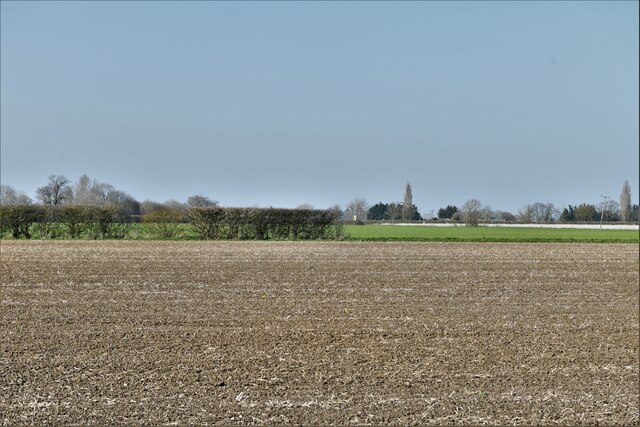
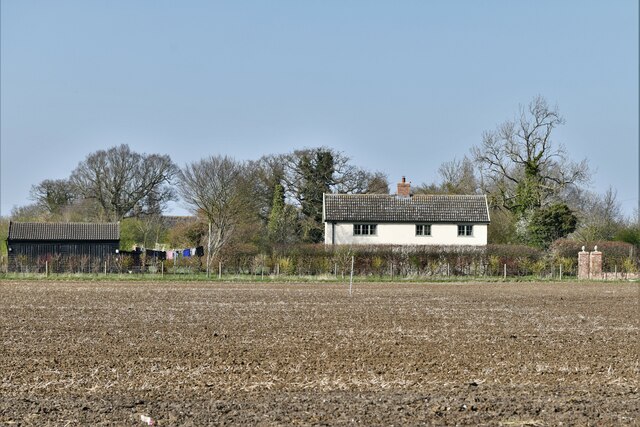
Surrounded by rolling green fields and meadows, Barley Green offers stunning views of the Suffolk landscape. The village is characterized by its quaint thatched cottages, historic buildings, and well-maintained gardens. It exudes a sense of old-world charm, making it a popular destination for those seeking a peaceful retreat.
Despite its small size, Barley Green boasts a strong sense of community. The village has a local pub, The Green Man, where residents and visitors can gather for a drink or a hearty meal. Additionally, there is a village hall that serves as a focal point for various community activities and events.
Nature lovers will appreciate the abundance of walking and cycling routes that surround Barley Green. The village is located close to several nature reserves and country parks, providing ample opportunities for outdoor exploration. The nearby River Waveney also offers a tranquil spot for fishing and boating enthusiasts.
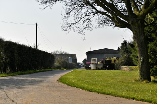
Barley Green is conveniently located near the market town of Diss, which provides residents with access to a range of amenities including shops, supermarkets, and schools. The village is well-connected to the rest of Suffolk and beyond, with good transport links to nearby towns and cities.
Overall, Barley Green is a charming and peaceful village, perfect for those seeking a serene escape in the heart of the Suffolk countryside.
If you have any feedback on the listing, please let us know in the comments section below.
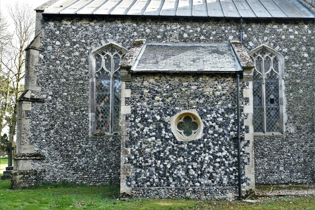
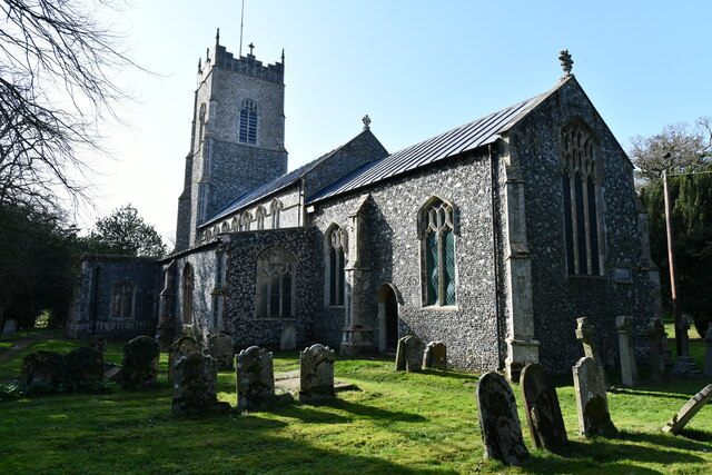
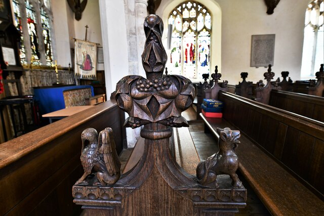
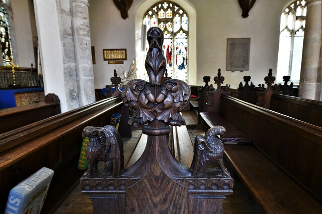
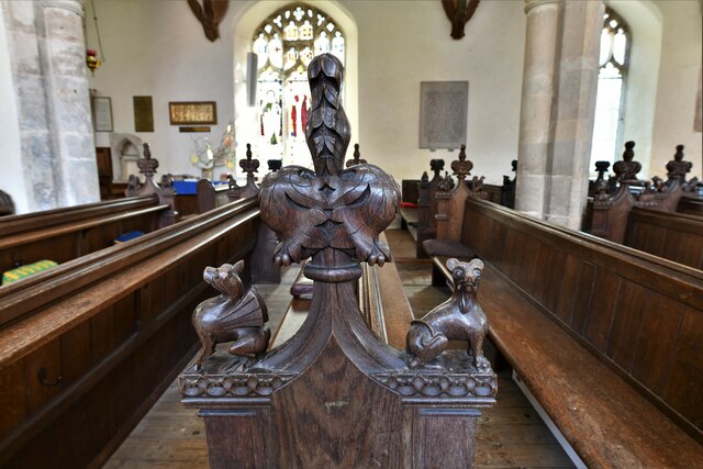
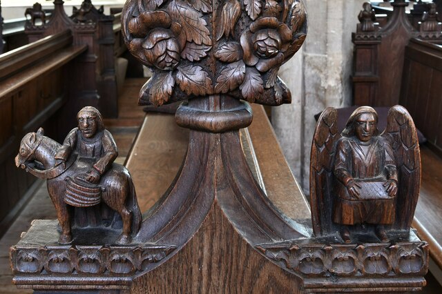
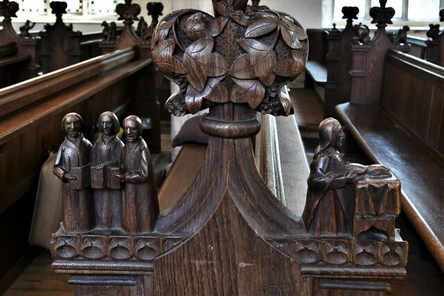
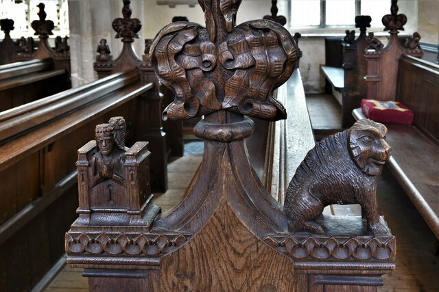
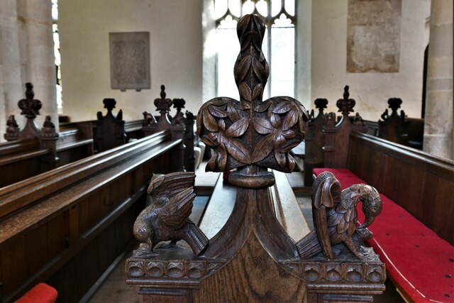
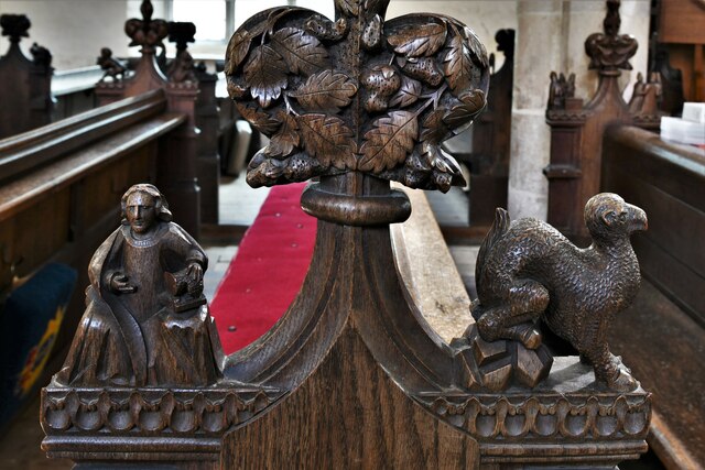
Barley Green Images
Images are sourced within 2km of 52.316478/1.2887879 or Grid Reference TM2473. Thanks to Geograph Open Source API. All images are credited.

Barley Green is located at Grid Ref: TM2473 (Lat: 52.316478, Lng: 1.2887879)
Administrative County: Suffolk
District: Mid Suffolk
Police Authority: Suffolk
What 3 Words
///garage.adhesive.rejoins. Near Stradbroke, Suffolk
Nearby Locations
Related Wikis

Stradbroke
Stradbroke ( STRAD-brook) is an English village in the Mid Suffolk district of the county of Suffolk. The Census of 2011 gave the parish a population of...

Wilby railway station
Wilby railway station was located approximately two-thirds of a mile (1.1 km) north-east of Wilby, Suffolk. It was on the Mid-Suffolk Light Railway between...
Stradbroke High School
Stradbroke High School is a secondary school with academy status for 11- to 16-year-olds in the village of Stradbroke in the English county of Suffolk...

Stradisphere Festival
Stradisphere Festival is an annual music festival held in Stradbroke, Suffolk, England, in July. It celebrated its 5th year in 2018 with headliners Badly...
Nearby Amenities
Located within 500m of 52.316478,1.2887879Have you been to Barley Green?
Leave your review of Barley Green below (or comments, questions and feedback).