Hollins

Settlement in Lancashire

England

Hollins

Park 66, Pilsworth Retail Park Park 66 was a leisure park in the Pilsworth area, just off junction 3 of the M66 motorway, around 2 miles from Bury town centre. It was home to a Vue cinema, a bowling alley and several restaurants. When the Vue cinema opened in 1989, it was one of the first multiplex cinemas in the North West of England. The cinema closed in 2010, following the development of the Rock in the town centre; the bowling alley closed in 2012 with the restaurants soon following, leaving the site to quickly become derelict.

The site, which neighbours an existing Asda Superstore, McDonald's, Travelodge and Brewers Fayre pub, was cleared and redeveloped in 2018-19.
Park 66, Pilsworth Retail Park Credit: David Dixon

Hollins is a small village located in the county of Lancashire, England. Situated approximately 5 miles north of the town of Accrington, it is part of the Rossendale borough. The village is nestled in a picturesque valley surrounded by rolling hills and lush green fields, making it an ideal location for nature enthusiasts and those seeking a peaceful countryside setting.

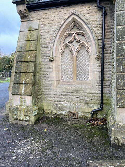
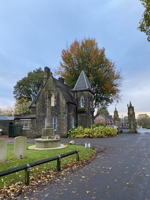
Although Hollins is small in size, it boasts a close-knit community that takes pride in its rich history and heritage. The village has a number of beautiful traditional stone houses and buildings, reflecting its historical roots. The local St. John's Church, a prominent feature in Hollins, dates back to the 18th century and serves as a focal point for religious gatherings and community events.

Agriculture has traditionally been an important industry in Hollins, with farming playing a significant role in the local economy. The village is known for its picturesque farmlands and fields, where crops such as wheat, barley, and potatoes are cultivated. In recent years, however, there has been a diversification of industries, with a growing number of residents commuting to nearby towns and cities for work.

Despite its rural setting, Hollins benefits from good transportation links. The nearby A56 road provides easy access to the larger towns of Accrington and Burnley, as well as the M65 motorway, connecting it to larger cities such as Manchester and Preston.

Overall, Hollins is a charming village that offers a tranquil and idyllic lifestyle, with its natural beauty, strong sense of community, and rich agricultural history.

If you have any feedback on the listing, please let us know in the comments section below.
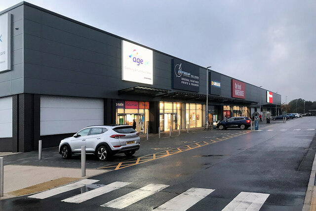
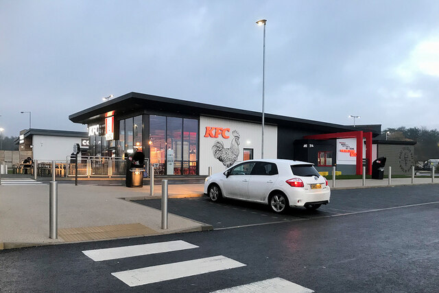
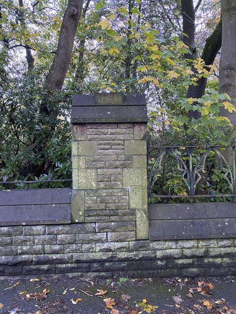
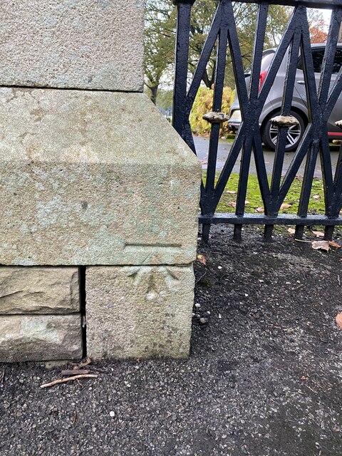
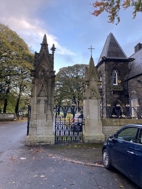
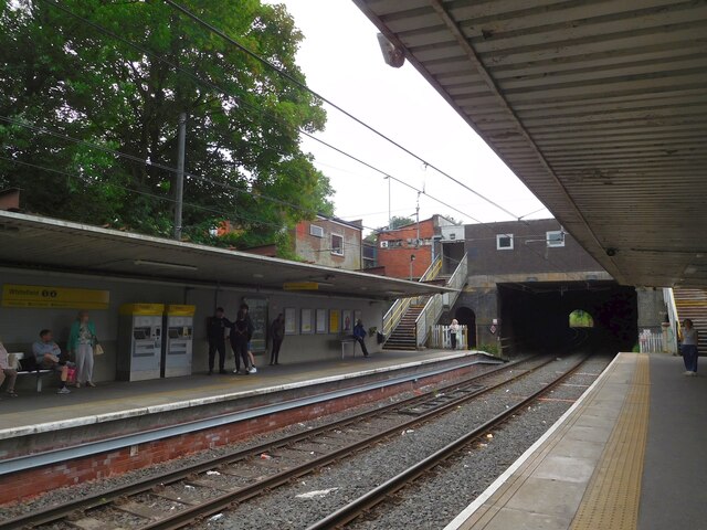
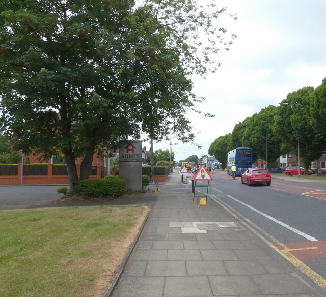
Hollins Images

Images are sourced within 2km of 53.568702/-2.289129 or Grid Reference SD8008. Thanks to Geograph Open Source API. All images are credited.

Park 66, Pilsworth Retail Park Park 66 was a leisure park in the Pilsworth area, just off junction 3 of the M66 motorway, around 2 miles from Bury town centre. It was home to a Vue cinema, a bowling alley and several restaurants. When the Vue cinema opened in 1989, it was one of the first multiplex cinemas in the North West of England. The cinema closed in 2010, following the development of the Rock in the town centre; the bowling alley closed in 2012 with the restaurants soon following, leaving the site to quickly become derelict.

The site, which neighbours an existing Asda Superstore, McDonald's, Travelodge and Brewers Fayre pub, was cleared and redeveloped in 2018-19.
Park 66, Pilsworth Retail Park
Park 66 was a leisure park in the Pilsworth area, just off junction 3 of the M66 motorway, around 2 miles from Bury town centre. It was home to a Vue cinema, a bowling alley and several restaurants. When the Vue cinema opened in 1989, it was one of the first multiplex cinemas in the North West of England. The cinema closed in 2010, following the development of the Rock in the town centre; the bowling alley closed in 2012 with the restaurants soon following, leaving the site to quickly become derelict. The site, which neighbours an existing Asda Superstore, McDonald's, Travelodge and Brewers Fayre pub, was cleared and redeveloped in 2018-19.
KFC Pilsworth Park 66 was a leisure park in the Pilsworth area, just off junction 3 of the M66 motorway, around 2 miles from Bury town centre. It was home to a Vue cinema, a bowling alley and several restaurants. When the Vue cinema opened in 1989, it was one of the first multiplex cinemas in the North West of England. The cinema closed in 2010, following the development of the Rock in the town centre; the bowling alley closed in 2012 with the restaurants soon following, leaving the site to quickly become derelict.

The site, which neighbours an existing Asda Superstore, McDonald's, Travelodge and Brewers Fayre pub, was cleared and redeveloped in 2018-19.
KFC Pilsworth
Park 66 was a leisure park in the Pilsworth area, just off junction 3 of the M66 motorway, around 2 miles from Bury town centre. It was home to a Vue cinema, a bowling alley and several restaurants. When the Vue cinema opened in 1989, it was one of the first multiplex cinemas in the North West of England. The cinema closed in 2010, following the development of the Rock in the town centre; the bowling alley closed in 2012 with the restaurants soon following, leaving the site to quickly become derelict. The site, which neighbours an existing Asda Superstore, McDonald's, Travelodge and Brewers Fayre pub, was cleared and redeveloped in 2018-19.
OS Cut Mark - Bury, Bury Cemetery Wall <span class="nowrap"><a title="https://www.bench-marks.org.uk/bm105596" rel="nofollow ugc noopener" href="https://www.bench-marks.org.uk/bm105596">Link</a><img style="margin-left:2px;" alt="External link" title="External link - shift click to open in new window" src="https://s1.geograph.org.uk/img/external.png" width="10" height="10"/></span>
OS Cut Mark - Bury, Bury Cemetery Wall
Location of OS Cut Mark - Bury, Bury Cemetery Wall
Entrance to Bury Cemetery
Bury Cemetery
Bury Cemetery
Bury Cemetery Church
OS Cut Mark - Bury, Bury Cemetery Chapel <span class="nowrap"><a title="https://www.bench-marks.org.uk/bm105599" rel="nofollow ugc noopener" href="https://www.bench-marks.org.uk/bm105599">Link</a><img style="margin-left:2px;" alt="External link" title="External link - shift click to open in new window" src="https://s1.geograph.org.uk/img/external.png" width="10" height="10"/></span>
OS Cut Mark - Bury, Bury Cemetery Chapel
Location of OS Cut Mark - Bury, Bury Cemetery Chapel
Remains of old cemetery chapel
OS Cut Mark - Bury, Bury Chapel Foundation Remains <span class="nowrap"><a title="https://www.bench-marks.org.uk/bm105600" rel="nofollow ugc noopener" href="https://www.bench-marks.org.uk/bm105600">Link</a><img style="margin-left:2px;" alt="External link" title="External link - shift click to open in new window" src="https://s1.geograph.org.uk/img/external.png" width="10" height="10"/></span>
OS Cut Mark - Bury, Bury Chapel Foundation Remains
War memorial Bury cemetery
OS Cut Mark - Gigg, Cemetery Gate Post <span class="nowrap"><a title="https://www.bench-marks.org.uk/bm62830" rel="nofollow ugc noopener" href="https://www.bench-marks.org.uk/bm62830">Link</a><img style="margin-left:2px;" alt="External link" title="External link - shift click to open in new window" src="https://s1.geograph.org.uk/img/external.png" width="10" height="10"/></span>
OS Cut Mark - Gigg, Cemetery Gate Post
Location
Location
OS Cut Mark - Bury, Bury Cemetery Wall <span class="nowrap"><a title="https://www.bench-marks.org.uk/bm105595" rel="nofollow ugc noopener" href="https://www.bench-marks.org.uk/bm105595">Link</a><img style="margin-left:2px;" alt="External link" title="External link - shift click to open in new window" src="https://s1.geograph.org.uk/img/external.png" width="10" height="10"/></span>
OS Cut Mark - Bury, Bury Cemetery Wall
Location of OS Cut Mark - Bury, Bury Cemetery Wall
Whitefield Metrolink Tram Station 
Looking towards Bury.
Whitefield Metrolink Tram Station
Looking towards Bury.
Roadworks on Manchester Road The A56 towards Bury.
Roadworks on Manchester Road
The A56 towards Bury.
Show me another place!

Hollins is located at Grid Ref: SD8008 (Lat: 53.568702, Lng: -2.289129)

Unitary Authority: Bury

Police Authority: Greater Manchester

What 3 Words

///delay.scarcely.cups. Near Whitefield, Manchester

Related Wikis

Hollins Brook

Hollins Brook is a watercourse in Greater Manchester and a tributary of the River Roch. It originates in Unsworth and is one of the habitats that makes...

Whittle Brook

Whittle Brook is a watercourse in Greater Manchester and a tributary of the River Roch, classified as a main river.: 20  It originates in the outskirts...
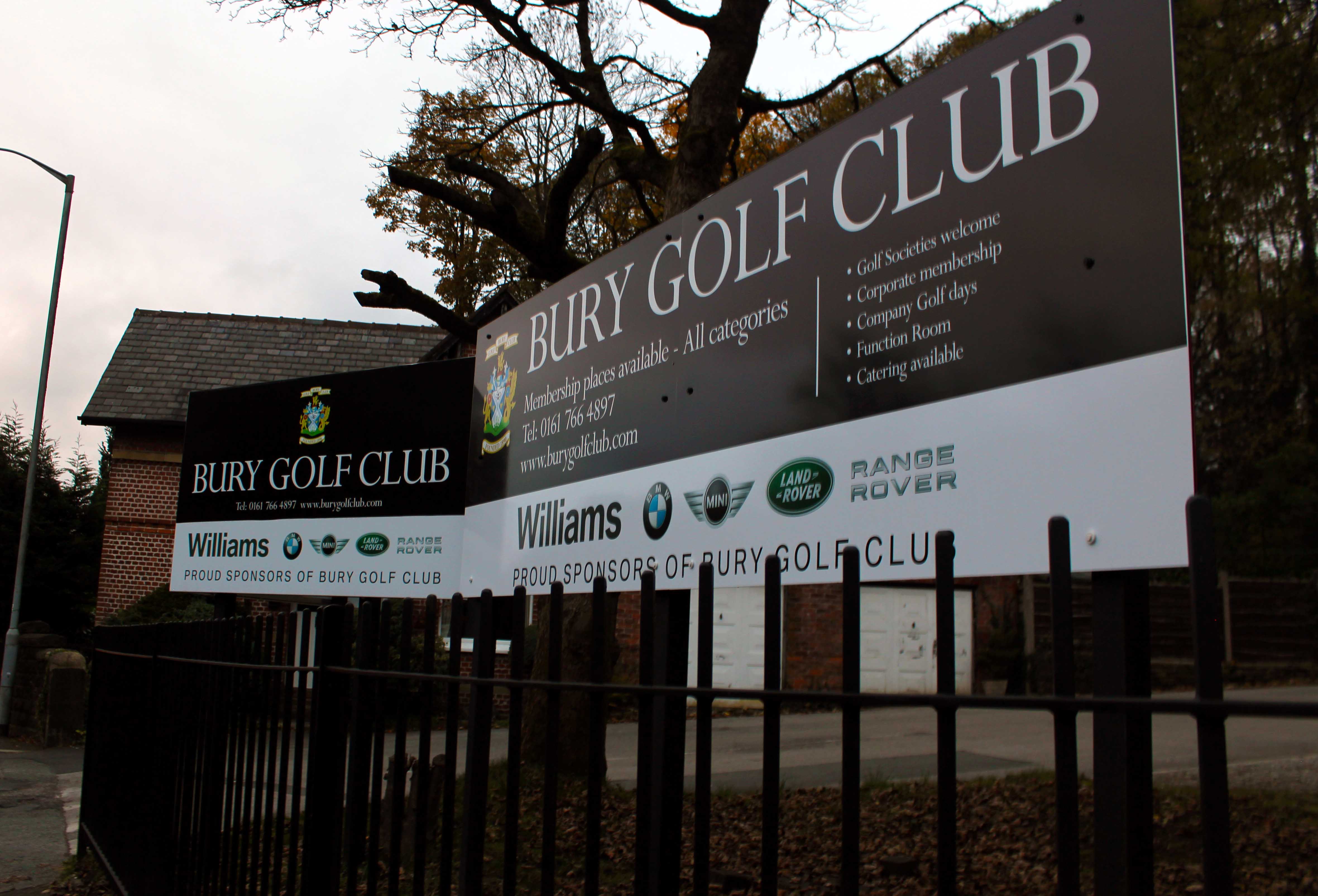
Bury Golf Club

Bury Golf Club, is a private golf course and club in Unsworth, Bury, designed by Alister MacKenzie, Charles Hugh Alison, and Harry Shapland Colt. The club...

Parr Brook

Parr Brook is a watercourse in Greater Manchester and a tributary of the River Roch. It originates in Unsworth and flows through Bury Golf Club before...

Nearby Amenities

Located within 500m of 53.568702,-2.289129
Created By: YahooApplet 1.0
Lat/Long: 53.5703816/-2.2957973
Created By: YahooApplet 1.0
Lat/Long: 53.5698847/-2.2956471
Created By: YahooApplet 1.0
Lat/Long: 53.5694896/-2.2957544
Created By: YahooApplet 1.0
Lat/Long: 53.569222/-2.2961836
Created By: YahooApplet 1.0
Lat/Long: 53.5692093/-2.2964196
Created By: YahooApplet 1.0
Lat/Long: 53.5690182/-2.2966127
Hollins
Name Ur: ہولنز
Place: village
Lat/Long: 53.5692293/-2.2863336
Mini Roundabout
Direction: clockwise
Lat/Long: 53.569/-2.2882084
Turning Circle
Lat/Long: 53.5710098/-2.2841626
Bus Stop
Manchester Road/Blackford Brow
Bus: yes
Naptan AtcoCode: 1800NC02091
Naptan Bearing: S
Naptan CommonName: Manchester Road/Blackford Brow
Naptan Indicator: Conservatories
Naptan Landmark: HOUSE 827
Naptan NaptanCode: mandmjam
Naptan Notes: LOCATION AMENDED
Naptan PlusbusZoneRef: MNCRPIC
Naptan ShortCommonName: Blackford Brow
Naptan Street: MANCHESTER ROAD
Naptan Verified: no
Network: TfGM
Public Transport: platform
Source: naptan_import
Lat/Long: 53.5645397/-2.2907519
Bus Stop
Croft Lane/Hollins Lane
Bus: yes
Naptan AtcoCode: 1800NC02221
Naptan Bearing: NE
Naptan CommonName: Croft Lane/Hollins Lane
Naptan Indicator: Opp. House 30/32
Naptan Landmark: OPP HOUSE 30/32
Naptan NaptanCode: mandmjdj
Naptan Notes: INDICATOR AMENDED
Naptan PlusbusZoneRef: MNCRPIC
Naptan ShortCommonName: Hollins Lane
Naptan Street: Croft La
Naptan Verified: no
Network: TfGM
Public Transport: platform
Source: naptan_import
Wheelchair: yes
Lat/Long: 53.5697786/-2.2876318
Bus Stop
Croft Lane/Hollins Lane
Bus: yes
Naptan AtcoCode: 1800NC02241
Naptan Bearing: SW
Naptan CommonName: Croft Lane/Hollins Lane
Naptan Indicator: O/s House 16
Naptan Landmark: House 20
Naptan NaptanCode: mandmjdp
Naptan Notes: INDICATOR AMENDED
Naptan PlusbusZoneRef: MNCRPIC
Naptan ShortCommonName: Hollins Lane
Naptan Street: CROFT LANE
Naptan Verified: no
Network: TfGM
Public Transport: platform
Source: naptan_import
Wheelchair: yes
Lat/Long: 53.5693916/-2.2878406
Bus Stop
Hollins Lane/Community Centre
Bus: yes
Naptan AtcoCode: 1800NC05631
Naptan Bearing: E
Naptan CommonName: Hollins Lane/Community Centre
Naptan Indicator: Os construction cnte
Naptan Landmark: HOUSE 260
Naptan NaptanCode: mandmpta
Naptan Notes: INDICATOR AMENDED
Naptan PlusbusZoneRef: MNCRPIC
Naptan ShortCommonName: Community Centre
Naptan Street: HOLLINS LANE
Naptan Verified: no
Network: TfGM
Public Transport: platform
Source: naptan_import
Wheelchair: yes
Lat/Long: 53.5687586/-2.281902
Bus Stop
Hollins Lane/Hollins Post Office
Bus: yes
Naptan AtcoCode: 1800NC05641
Naptan Bearing: W
Naptan CommonName: Hollins Lane/Hollins Post Office
Naptan Indicator: Os house 299
Naptan Landmark: PROPERTY 299
Naptan NaptanCode: mandmptd
Naptan Notes: INDICATOR AMENDED
Naptan PlusbusZoneRef: MNCRPIC
Naptan ShortCommonName: Hollins PO
Naptan Street: HOLLINS LANE
Naptan Verified: no
Network: TfGM
Public Transport: platform
Source: naptan_import
Wheelchair: yes
Lat/Long: 53.5686074/-2.2850116
Bus Stop
Hollins Lane/Croft Lane
Bus: yes
Naptan AtcoCode: 1800NC05651
Naptan Bearing: W
Naptan CommonName: Hollins Lane/Croft Lane
Naptan Indicator: House 363
Naptan Landmark: HOUSE 363
Naptan NaptanCode: mandmptg
Naptan PlusbusZoneRef: MNCRPIC
Naptan ShortCommonName: Croft Lane
Naptan Street: HOLLINS LANE
Naptan Verified: no
Network: TfGM
Public Transport: platform
Source: naptan_import
Wheelchair: yes
Lat/Long: 53.5689063/-2.2878071
Bus Stop
Hollins Lane/Croft Lane
Bus: yes
Naptan AtcoCode: 1800NC05661
Naptan Bearing: E
Naptan CommonName: Hollins Lane/Croft Lane
Naptan Indicator: House 372
Naptan Landmark: HOUSE 372
Naptan NaptanCode: mandmptj
Naptan PlusbusZoneRef: MNCRPIC
Naptan ShortCommonName: Croft Lane
Naptan Street: HOLLINS LANE
Naptan Verified: no
Network: TfGM
Public Transport: platform
Source: naptan_import
Wheelchair: yes
Lat/Long: 53.568961/-2.2875055
Bus Stop
Manchester Road/Blackford Bridge
Bus: yes
Naptan AtcoCode: 1800NC06741
Naptan Bearing: N
Naptan CommonName: Manchester Road/Blackford Bridge
Naptan Indicator: Opp Flats 1-6
Naptan Landmark: BRIDGE
Naptan NaptanCode: mandmwtj
Naptan Notes: LOCATION AMENDED
Naptan PlusbusZoneRef: MNCRPIC
Naptan ShortCommonName: Blackford Bridge
Naptan Street: MANCHESTER ROAD
Naptan Verified: no
Network: TfGM
Public Transport: platform
Source: naptan_import
Lat/Long: 53.5663427/-2.2922893
Bus Stop
Manchester Road/Blackford Bridge
Bus: yes
Naptan AtcoCode: 1800NC06751
Naptan Bearing: S
Naptan CommonName: Manchester Road/Blackford Bridge
Naptan Indicator: Texaco
Naptan Landmark: HYUNDAI GARAGE
Naptan NaptanCode: mandmwtm
Naptan PlusbusZoneRef: MNCRPIC
Naptan ShortCommonName: Blackford Bridge
Naptan Street: MANCHESTER ROAD
Naptan Verified: no
Network: TfGM
Public Transport: platform
Source: naptan_import
Lat/Long: 53.5668456/-2.2924739
Bus Stop
Manchester Road/Bird i' th' Hand
Bus: yes
Naptan AtcoCode: 1800NC06761
Naptan Bearing: S
Naptan CommonName: Manchester Road/Bird i' th' Hand
Naptan Indicator: Bird Ith Hand
Naptan Landmark: HOUSE 597
Naptan NaptanCode: mandmwtp
Naptan PlusbusZoneRef: MNCRPIC
Naptan ShortCommonName: Bird i' th' Hand
Naptan Street: MANCHESTER ROAD
Naptan Verified: no
Network: TfGM
Public Transport: platform
Source: naptan_import
Lat/Long: 53.5687488/-2.2934534
Bus Stop
Manchester Road/Bird i' th' Hand
Bus: yes
Naptan AtcoCode: 1800NC06771
Naptan Bearing: N
Naptan CommonName: Manchester Road/Bird i' th' Hand
Naptan Indicator: Os Flat 602
Naptan Landmark: FLATS 602/604
Naptan NaptanCode: mandmwtw
Naptan Notes: INDICATOR AMENDED
Naptan PlusbusZoneRef: MNCRPIC
Naptan ShortCommonName: Bird i' th' Hand
Naptan Street: MANCHESTER ROAD
Naptan Verified: no
Network: TfGM
Public Transport: platform
Source: naptan_import
Lat/Long: 53.5692152/-2.2938795
Bus Stop
Manchester Road/Mount Zion Road
Bus: yes
Naptan AtcoCode: 1800NC06781
Naptan Bearing: S
Naptan CommonName: Manchester Road/Mount Zion Road
Naptan Indicator: Service Station
Naptan Landmark: SERVICE STATION
Naptan NaptanCode: mandpada
Naptan PlusbusZoneRef: MNCRPIC
Naptan ShortCommonName: Mount Zion Road
Naptan Street: MANCHESTER ROAD
Naptan Verified: no
Network: TfGM
Public Transport: platform
Source: naptan_import
Lat/Long: 53.5705269/-2.2941151
Bus Stop
Manchester Road/Mount Zion Road
Bus: yes
Naptan AtcoCode: 1800NC06791
Naptan Bearing: N
Naptan CommonName: Manchester Road/Mount Zion Road
Naptan Indicator: Atrium House
Naptan Landmark: HOUSE 560
Naptan NaptanCode: mandpadg
Naptan PlusbusZoneRef: MNCRPIC
Naptan ShortCommonName: Mount Zion Road
Naptan Street: MANCHESTER ROAD
Naptan Verified: no
Network: TfGM
Public Transport: platform
Source: naptan_import
Lat/Long: 53.5711549/-2.2946027
Waterway: weir
Lat/Long: 53.56579/-2.2930256
Barrier: stile
Lat/Long: 53.5642795/-2.290251
Turning Circle
Lat/Long: 53.5643554/-2.2902434
Pub
Hollins Bush
Addr Housename: Hollins Bush
Wheelchair: limited
Lat/Long: 53.5687209/-2.2826936
Barrier: bollard
Lat/Long: 53.5686914/-2.2852584
Crossing
Crossing: marked
Lat/Long: 53.5670602/-2.2927418
The data included in this document is from www.openstreetmap.org. The data is made available under ODbL.

Have you been to Hollins?

Leave your review of Hollins below (or comments, questions and feedback).